Showing Unsold Lots(remove filter)
Filtered by Category:United States(Show All Categories)
Current Auction
56 lots
Page 1 of 2
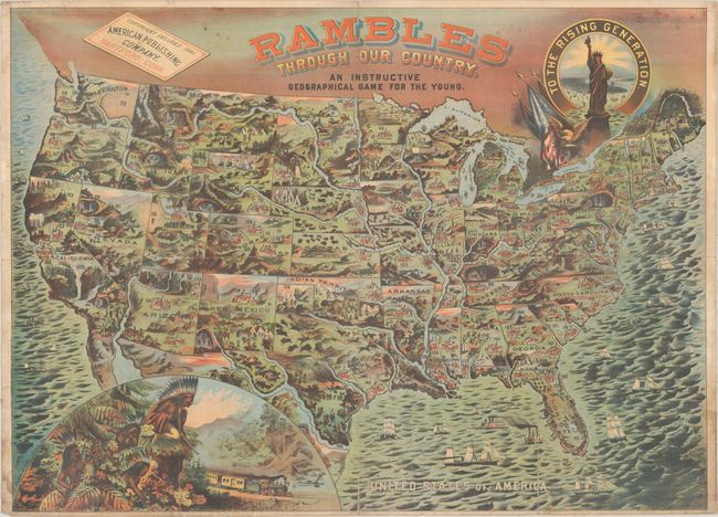
Lot 58
Subject: Cartographic Miscellany, Game, United States
American Publishing Company
Rambles Through Our Country. An Instructive Geographical Game for the Young, 1881
Size: 33.3 x 24.1 inches (84.6 x 61.2 cm)
Estimate: $2,000 - $2,300
Price reduced by $500! Gorgeous Map That Doubles as a Game Board - First Edition
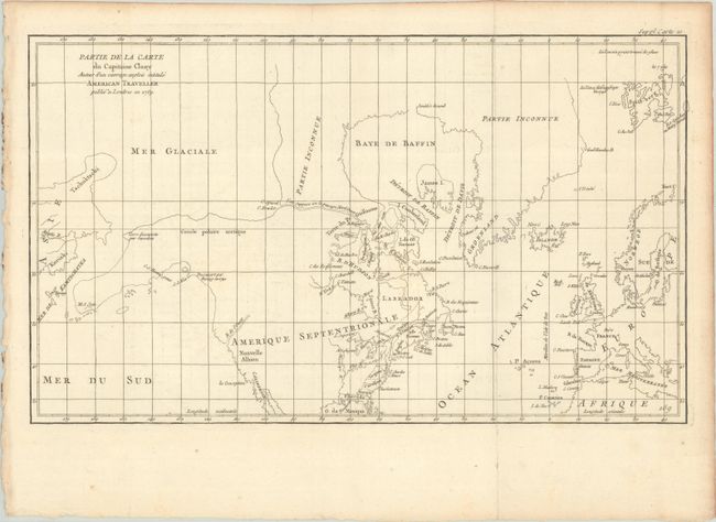
Lot 113
Subject: Colonial United States & Canada, Arctic
Robert de Vaugondy, Didier
Partie de la Carte du Capitaine Cluny Auteur d'un Ouvrage Anglois Intitule American Traveller, 1773
Size: 19.7 x 11.6 inches (50 x 29.5 cm)
Estimate: $95 - $120
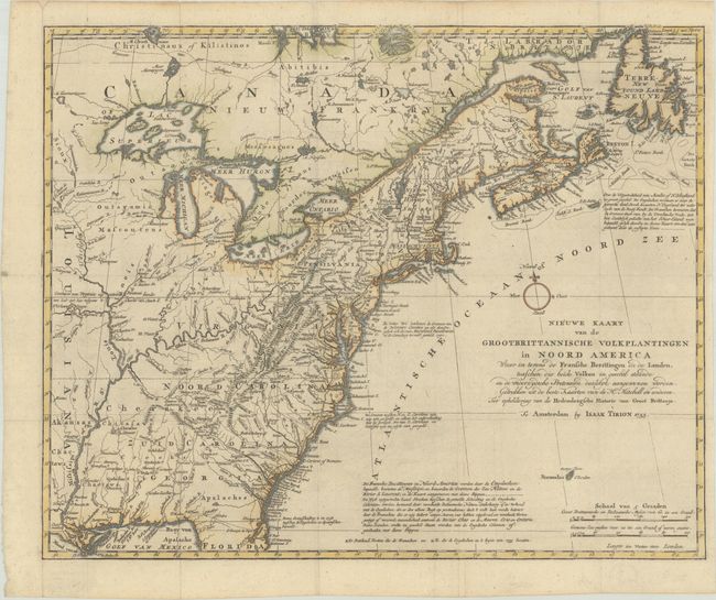
Lot 119
Subject: Colonial Eastern United States & Canada
Tirion, Isaac
Nieuwe Kaart van de Grootbrittannische Volkplantingen in Noord America waar in Tevens de Fransche Bezittingen en de Landen..., 1755
Size: 17.8 x 14.4 inches (45.2 x 36.6 cm)
Estimate: $600 - $750
Price reduced by $25
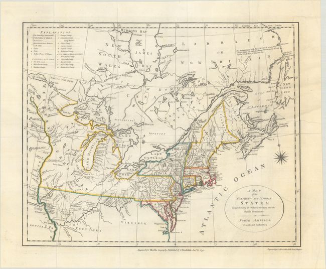
Lot 121
Subject: Eastern United States & Canada
Stockdale, John
A Map of the Northern and Middle States; Comprehending the Western Territory and the British Dominions in North America. From the Best Authorities, 1792
Size: 15.3 x 12.3 inches (38.9 x 31.2 cm)
Estimate: $400 - $475
Price reduced by $50
Lot 122
Subject: Eastern United States & Canada
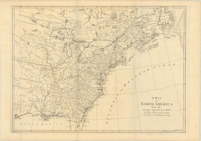
Blair, Rev. John
A Map of North America from the Latest Surveys and Maps, 1803
Size: 22.8 x 16.6 inches (57.9 x 42.2 cm)
Estimate: $475 - $600
Price reduced by $75
Lot 125
Subject: Colonial Northeastern United States & Canada
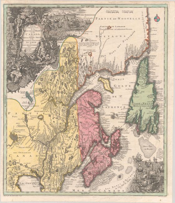
Seutter/Lotter
Partie Orientale de la Nouvelle France ou du Canada avec l'Isle de Terre-Neuve et de Nouvelle Escosse, Acadie et Nouv. Angleterre avec Fleuve de St. Laurence, 1756
Size: 19.4 x 22.6 inches (49.3 x 57.4 cm)
Estimate: $1,200 - $1,500
Lot 126
Subject: Colonial Northeastern United States & Canada
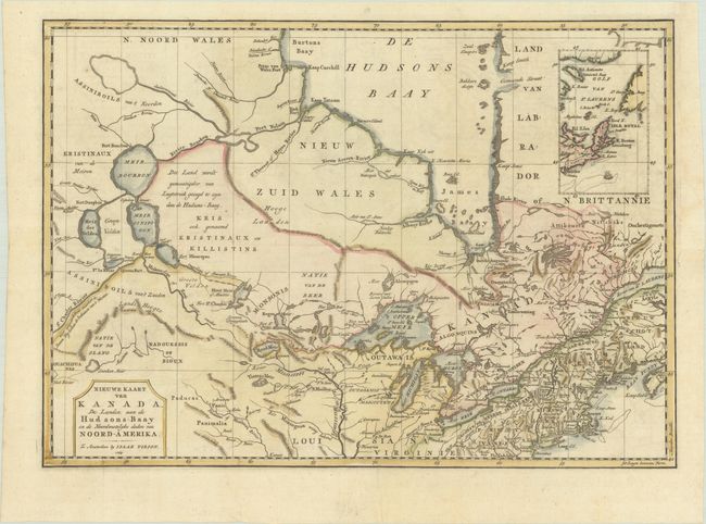
Tirion, Isaac
Nieuwe Kaart van Kanada, de Landen aan de Hudsons-Baay en de Noordwestelyke Deelen van Noord-Amerika, 1769
Size: 17.4 x 12.3 inches (44.2 x 31.2 cm)
Estimate: $350 - $425
Lot 128
Subject: Colonial Northeastern United States & Canada
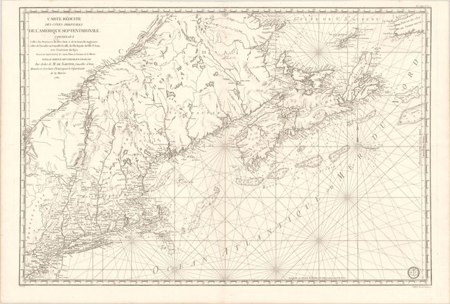
Sartine
Carte Reduite des Cotes Orientales de l'Amerique Septentrionale Contenant Celles des Provinces de New-York et de la Nouvelle Angleterre, Celles de l'Acadie ou Nouvelle Ecosse, de l'Ile Royale de l'Ile St. Jean..., 1780
Size: 34.3 x 23.1 inches (87.1 x 58.7 cm)
Estimate: $1,100 - $1,400
Revolutionary War-Era Sea Chart Covering New England & Eastern Canada
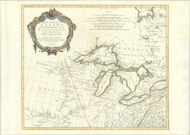
Lot 129
Subject: Colonial Central United States & Canada, Great Lakes
D'Anville/Santini
Partie Occidentale du Canada et Septentrionale de la Louisiane avec une Partie de la Pensilvanie, 1775
Size: 22.4 x 19 inches (56.9 x 48.3 cm)
Estimate: $900 - $1,100
Price reduced by $100!
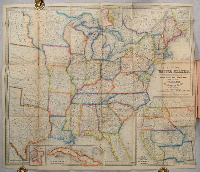
Lot 139
Subject: United States
Williams, Wellington
[Map in Book] A New Map of the United States. Upon Which Are Delineated Its Vast Works of Internal Communication, Routes Across the Continent &c... [in] A New and Complete Gazetteer of the United States..., 1854
Size: 29.3 x 24.6 inches (74.4 x 62.5 cm)
Estimate: $375 - $450
Price reduced by $50
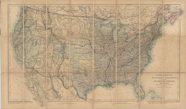
Lot 140
Subject: United States
Stanford, Edward
Stanford's Smaller Railway Map of the United States Distinguishing the Unsettled Territories; the Railways; the Cities & Towns According to Population; Also the State Capitals & County Towns, 1868
Size: 28.3 x 16.6 inches (71.9 x 42.2 cm)
Estimate: $350 - $425
Price reduced by $25
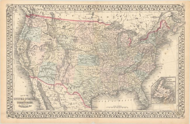
Lot 142
Subject: United States
Mitchell, Samuel Augustus
Map of the United States, and Territories. Together with Canada &c., 1872
Size: 21.8 x 13.8 inches (55.4 x 35.1 cm)
Estimate: $120 - $150
Price reduced by $20
Lot 156
Subject: Eastern United States, Revolutionary War
Botta, Carlo
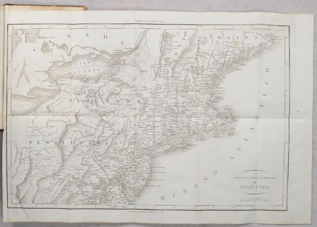
[2 Maps in 3 Volumes] Le Provincie Meridionali degli Stati Uniti [and] Le Provincie Settentrionali degli Stati Uniti [in] Storia della Guerra della Independenza degli Stati Uniti di America Volume Primo [and] Volume Secondo [and] Volume Terzo, 1820
Size: 5.5 x 8.5 inches (14 x 21.6 cm)
Estimate: $350 - $425
"The Most Valuable History of the Revolution Up to its Date" - Howes
Lot 157
Subject: Eastern United States
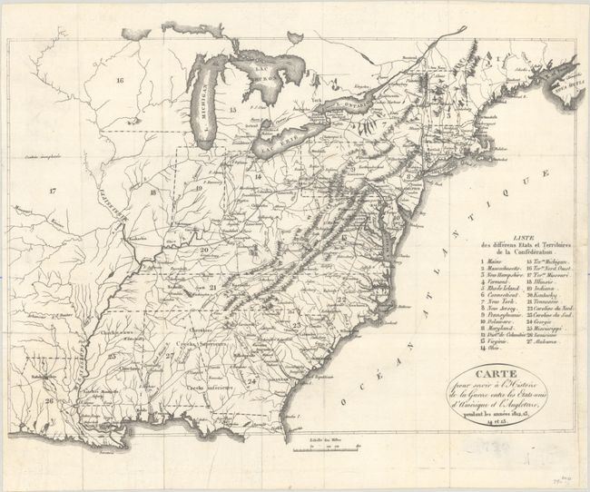
Carte pour Servir a l'Histoire de la Guerre Entre les Etats-Unis d'Amerique et l'Angleterre, Pendant les Annees 1812, 13, 14 et 15, 1822
Size: 13.1 x 9.8 inches (33.3 x 24.9 cm)
Estimate: $160 - $190
Price reduced by $20
Lot 158
Subject: Eastern United States
Direccion de Hidrografia
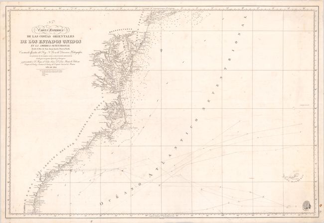
Carta Esferica de las Costas Orientales de los Estados Unidos en la America Setentrional Desde el Rio de San Juan Hasta Nueva York..., 1826
Size: 35.4 x 24.1 inches (89.9 x 61.2 cm)
Estimate: $550 - $700
Price reduced by $50
Lot 159
Subject: Eastern United States
Mitchell/Young
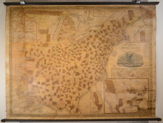
Mitchell's Reference & Distance Map of the United States, 1835
Size: 67.3 x 52.5 inches (170.9 x 133.4 cm)
Estimate: $800 - $950
Price reduced by $150!
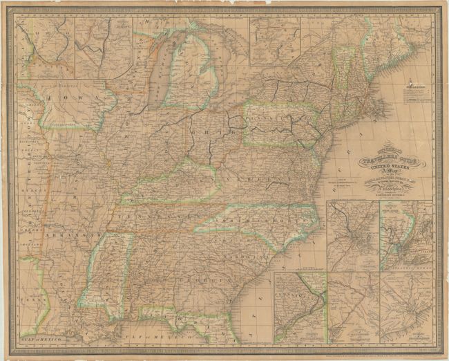
Lot 160
Subject: Eastern United States
Mitchell/Young
Mitchell's Travellers Guide Through the United States. A Map of the Roads, Distances, Steam Boat & Canal Routes &c., 1841
Size: 21.8 x 17.5 inches (55.4 x 44.5 cm)
Estimate: $475 - $600
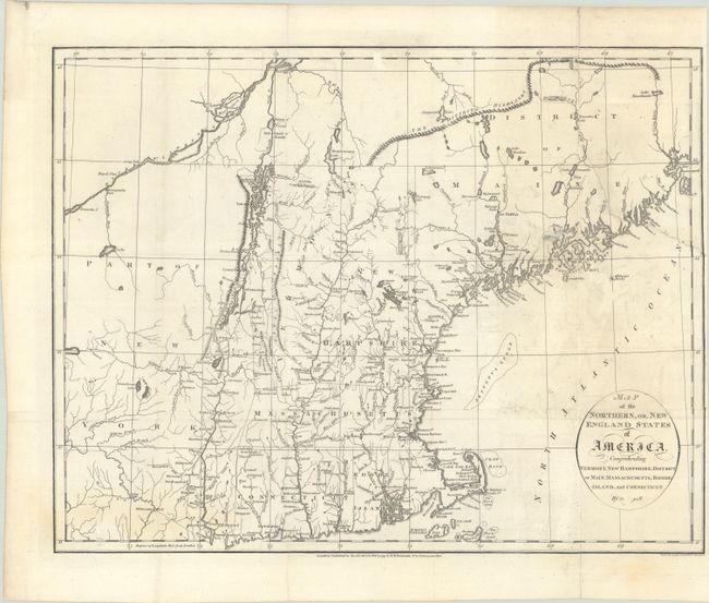
Lot 166
Subject: New England United States
Russell, John C.
Map of the Northern, or, New England States of America, Comprehending Vermont, New Hampshire, District of Main, Massachusetts, Rhode-Island, and Connecticut, 1795
Size: 18.5 x 14.4 inches (47 x 36.6 cm)
Estimate: $300 - $375
Price reduced by $60
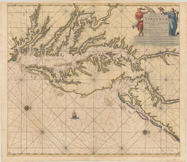
Lot 169
Subject: Colonial Mid-Atlantic United States, Chesapeake & Delaware Bays
Keulen, Johannes van
Pas Kaart van de Zee Kusten van Virginia Tusschen C Henry en t Hooge Land van Renselaars Hoek, 1695
Size: 22.6 x 20 inches (57.4 x 50.8 cm)
Estimate: $4,750 - $6,000
One of the Earliest Maps to Show Philadelphia
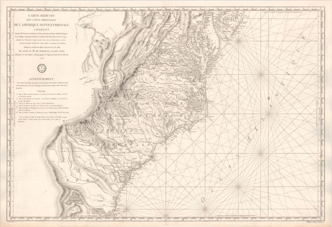
Lot 173
Subject: Colonial Mid-Atlantic & Southeast United States
Sartine
Carte Reduite des Cotes Orientales de l'Amerique Septentrionale Contenant Partie du Nouveau Jersey, la Pen-sylvanie, le Mary-land, la Virginie, la Caroline Septentrionale, la Caroline Meridionale et la Georgie..., 1778
Size: 34.1 x 23.1 inches (86.6 x 58.7 cm)
Estimate: $1,200 - $1,500
Important Revolutionary War-Era Sea Chart of the Colonial Mid-Atlantic and Southeast
Lot 174
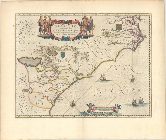
Subject: Colonial Southeastern United States
Blaeu, Willem
Virginiae Partis Australis, et Floridae Partis Orientalis, Interjacentiumq Regionum Nova Descriptio, 1640
Size: 19.9 x 15.2 inches (50.5 x 38.6 cm)
Estimate: $900 - $1,100
Blaeu's Decorative Map of the Southeast in Full Contemporary Color
Lot 175
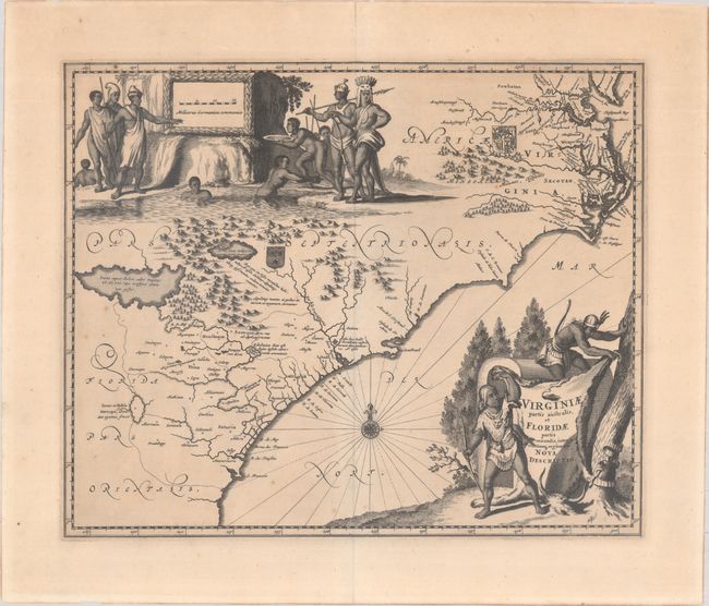
Subject: Colonial Southeastern United States
Montanus/Ogilby
Virginiae Partis Australis, et Floridae Partis Orientalis, Interjacentiumq Regionum Nova Descriptio, 1671
Size: 13.8 x 11.4 inches (35.1 x 29 cm)
Estimate: $800 - $950
Price reduced by $100!
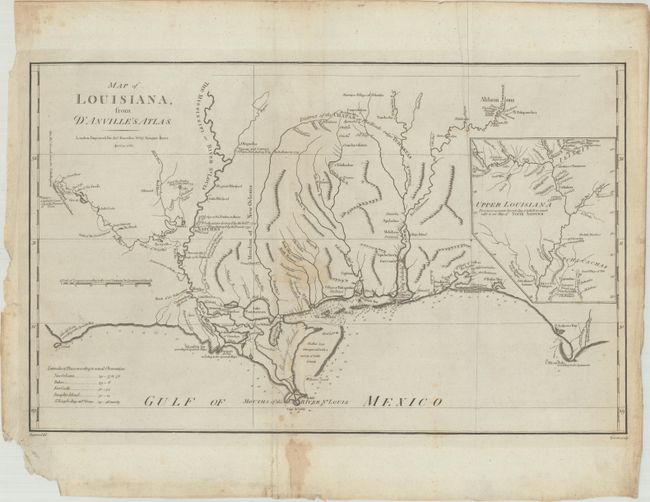
Lot 180
Subject: Gulf Coast
Harrison, John
Map of Louisiana, from d'Anville's Atlas, 1788
Size: 19.4 x 12.1 inches (49.3 x 30.7 cm)
Estimate: $800 - $950
Price reduced by $100!
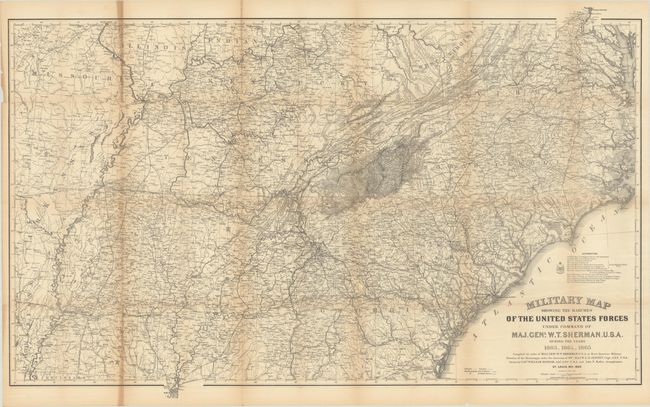
Lot 183
Subject: Southern United States, Civil War
U.S. Army
[Map and 2 Volumes] Military Map Showing the Marches of the United States Forces Under Command of Maj. Genl. W.T. Sherman. U.S.A. During the Years 1863, 1864, 1865 [in] [2 Volumes] Memoirs of General William T. Sherman..., 1875
Size: 46.8 x 29.3 inches (118.9 x 74.4 cm)
Estimate: $300 - $375
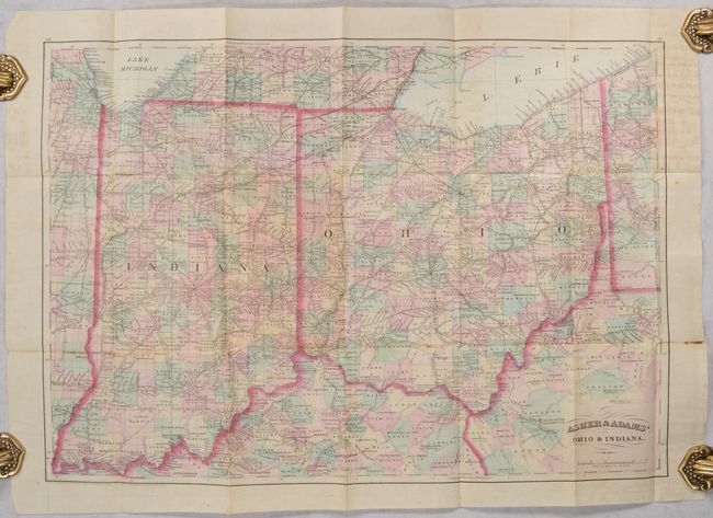
Lot 193
Subject: Ohio & Indiana
Asher & Adams
Asher & Adams' Ohio & Indiana, 1874
Size: 22.3 x 15.7 inches (56.6 x 39.9 cm)
Estimate: $150 - $180
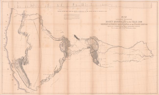
Lot 196
Subject: Western United States
Fremont/Preuss
[Map with Report] Map of an Exploring Expedition to the Rocky Mountains in the Year 1842 and to Oregon & North California in the Years 1843-44 [with] Report of the Exploring Expedition to the Rocky Mountains..., 1845
Size: 51.3 x 30.7 inches (130.3 x 78 cm)
Estimate: $700 - $850
Price reduced by $100! Features Fremont's Large Map of the American West
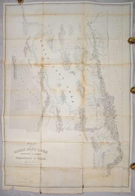
Lot 200
Subject: Western United States, Utah
Stansbury, M. Howard (Capt.)
[2 Maps] Map of the Great Salt Lake and Adjacent Country in the Territory of Utah... [and] Map of a Reconnoissance Between Fort Leavenworth on the Missouri River... [with] Exploration and Survey of the Valley of the Great Salt Lake of Utah..., 1852
Size: 6.5 x 10.2 inches (16.5 x 25.9 cm)
Estimate: $350 - $425
Price reduced by $50
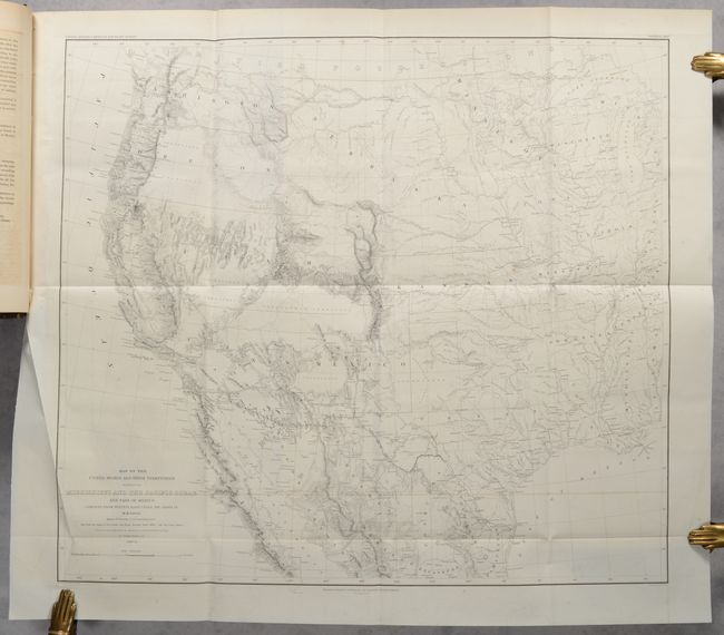
Lot 201
Subject: Western United States
Emory, William Hemsley
[Map in Book] Map of the United States and Their Territories Between the Mississippi and the Pacific Ocean and Part of Mexico... [in] Report on the United States and Mexican Boundary Survey... , 1857
Size: 23 x 20.3 inches (58.4 x 51.6 cm)
Estimate: $550 - $700
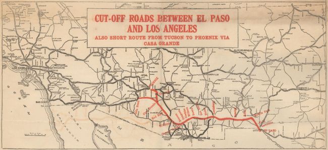
Lot 206
Subject: Southwestern United States
Cut-Off Roads Between El Paso and Los Angeles Also Short Route from Tucson to Phoenix via Casa Grande, 1922
Size: 20.9 x 16 inches (53.1 x 40.6 cm)
Estimate: $140 - $170
Price reduced by $50
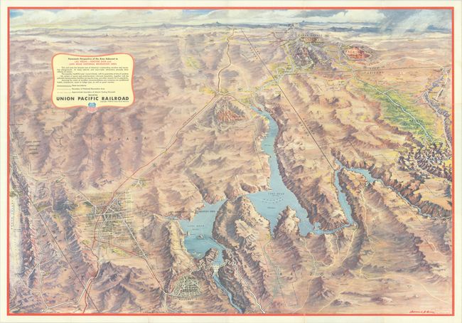
Lot 207
Subject: Southwestern United States
Eddy, Gerald
Panoramic Perspective of the Area Adjacent to Las Vegas - Hoover Dam and Lake Mead National Recreation Area, 1958
Size: 30.1 x 20.9 inches (76.5 x 53.1 cm)
Estimate: $120 - $150
Price reduced by $20
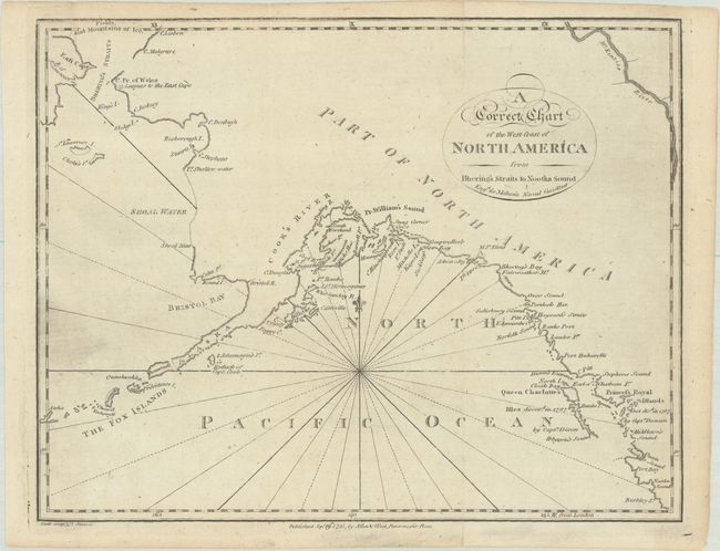
Lot 210
Subject: Alaska
Malham, John (Rev.)
A Correct Chart of the West Coast of North America from Bhering's Straits to Nootka Sound, 1795
Size: 9.7 x 7.6 inches (24.6 x 19.3 cm)
Estimate: $120 - $150
Price reduced by $15
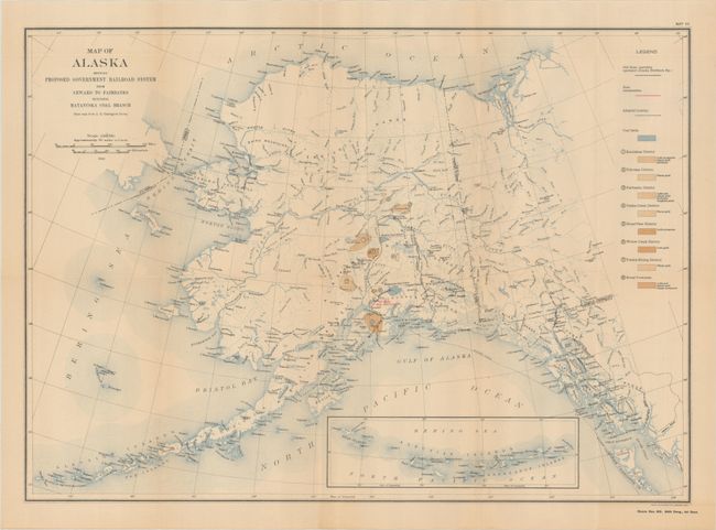
Lot 211
Subject: Alaska
U.S. Gov't Printing Office
Reports of the Alaskan Engineering Commission for the Period from March 12, 1914 to December 31, 1915 Maps I-XVIII, 1916
Size: 6.4 x 9.3 inches (16.3 x 23.6 cm)
Estimate: $180 - $220
Price reduced by $30 - Atlas Volume of Alaska Railroad Project
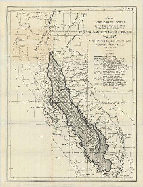
Lot 215
Subject: California
Map of Northern California Showing General Plan for the Reclamation of the Entire Sacramento and San Joaquin Valleys to Accompany a Discussion of the Problem, 1919
Size: 16.5 x 22.1 inches (41.9 x 56.1 cm)
Estimate: $180 - $220
Price reduced by $40 - Illustrates the Marshall Water Plan
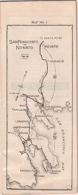
Lot 219
Subject: Northern California, Wine Country
Automobile Roads of Marin, Sonoma Lake and Napa Counties, 1925
Size: 3.9 x 9.9 inches (9.9 x 25.1 cm)
Estimate: $140 - $170
Price reduced by $50
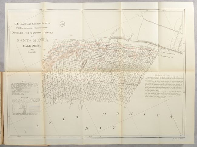
Lot 225
Subject: Los Angeles, California
U.S. War Department
Deep-Water Harbor at Port Los Angeles or at San Pedro, Cal. , 1897
Size: 5.8 x 9 inches (14.7 x 22.9 cm)
Estimate: $240 - $300
Price reduced by $40 - Report That Settled the Los Angeles Free Harbor Fight
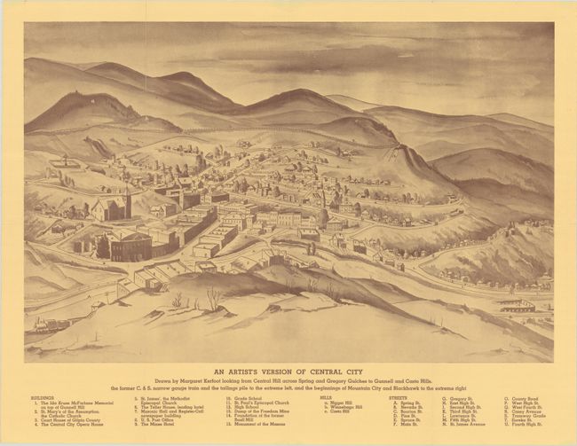
Lot 232
Subject: Central City, Colorado
Artistic Maps of Central City and Surrounding District - An Artist's Version of Central City [on verso] Airplane View of "The Richest Square Mile on Earth", 1946
Size: 20.8 x 13.5 inches (52.8 x 34.3 cm)
Estimate: $140 - $170
Price reduced by $50 - Bird’s Eye View of Central City Colorado in 1946
Lot 236
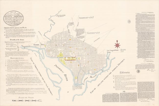
Subject: Washington, D.C.
U.S. Gov't Printing Office
Plan of the City, Intended for the Permanent Seat of the Government of t United States. Projected Agreeable to the Direction of the President of the United States...,, 1951
Size: 45.5 x 28.8 inches (115.6 x 73.2 cm)
Estimate: $150 - $180
Price reduced by $50
Lot 248
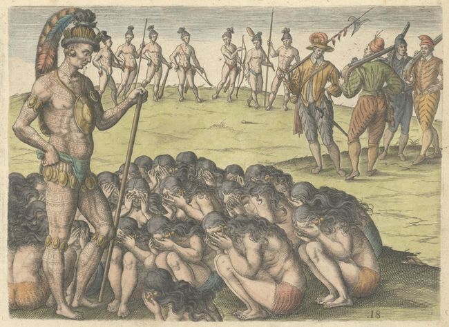
Subject: Florida, Natives
Bry, Theodore de
[How the Widows Petition Their Chief] Was die Weiber / Deren Manner im Krieg Umbfommen / vor Anspruch an den Konig Haben / oder von ihm Fordern, 1591
Size: 8.3 x 6 inches (21.1 x 15.2 cm)
Estimate: $240 - $300
Price reduced by $30
Lot 260
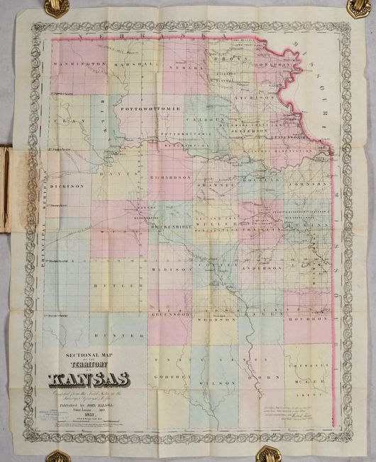
Subject: Kansas
Sectional Map of the Territory of Kansas Compiled from the Field Actes in the Surveyor General's Office, 1857
Size: 21.5 x 27.5 inches (54.6 x 69.9 cm)
Estimate: $950 - $1,200
Price reduced by $200! Early Map of Kansas Territory
Lot 261
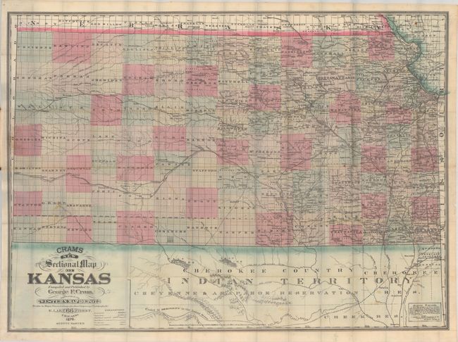
Subject: Kansas
Cram, George F. & Company
Crams New Sectional Map of Kansas, 1876
Size: 38.2 x 28.2 inches (97 x 71.6 cm)
Estimate: $450 - $550
Price reduced by $75
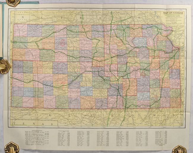
Lot 262
Subject: Kansas
Kenyon Company, The
Map of Kansas, 1913
Size: 19.8 x 13.3 inches (50.3 x 33.8 cm)
Estimate: $100 - $130
Price reduced by $35
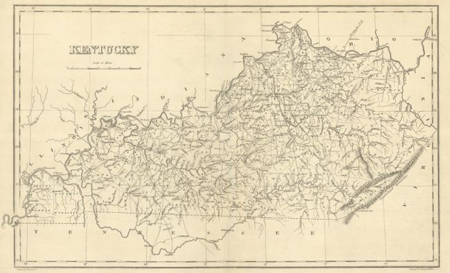
Lot 263
Subject: Kentucky
Carey & Lea
Geographical, Statistical, and Historical Map of Kentucky, 1827
Size: 19.1 x 11.5 inches (48.5 x 29.2 cm)
Estimate: $275 - $350
Price reduced by $30
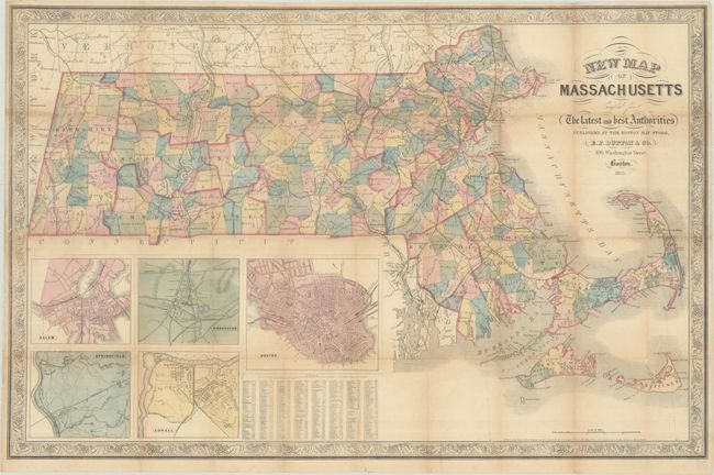
Lot 272
Subject: Massachusetts
Dutton, E. P.
New Map of Massachusetts Compiled from the Latest and Best Authorities, 1863
Size: 30.1 x 19.5 inches (76.5 x 49.5 cm)
Estimate: $200 - $230
Price reduced by $30
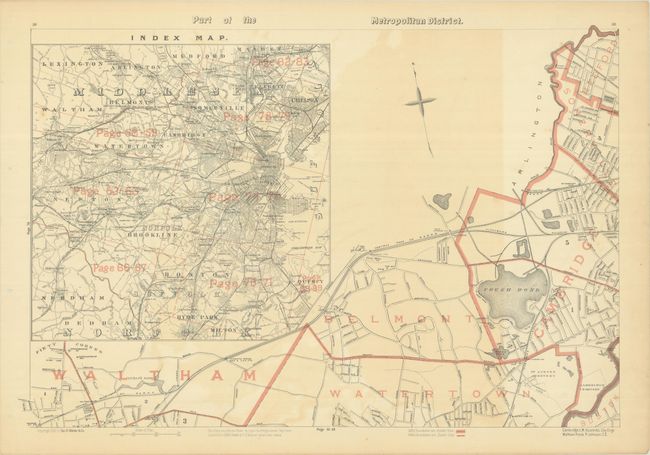
Lot 273
Subject: Eastern Massachusetts, Boston
Walker, George H. & Co.
[Lot of 8 - Boston Metropolitan Area] [6 Sheets] Part of the Metropolitan District [and] City of Malden [and] City of Quincy, 1891
Size: 25.9 x 17.6 inches (65.8 x 44.7 cm)
Estimate: $240 - $300
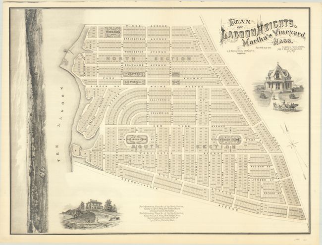
Lot 277
Subject: Martha's Vineyard, Massachusetts
Bufford, J. H.
Plan of Lagoon Heights, Martha's Vineyard, Mass., 1873
Size: 34.1 x 25.9 inches (86.6 x 65.8 cm)
Estimate: $700 - $850
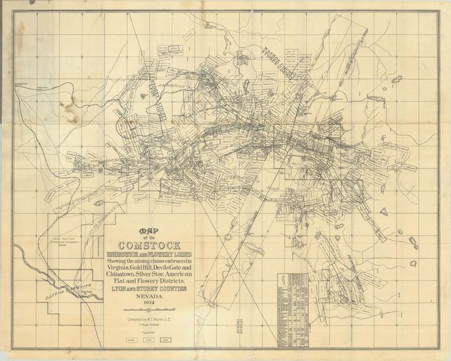
Lot 286
Subject: Northern Nevada
Map of the Comstock Brunswick and Flowery Lodes Showing the Mining Claims Embraced in Virginia, Gold Hill, Devils Gate and Chinatown, Silver Star, American Flat and Flowery Districts. Lyon and Storey Counties Nevada, 1923
Size: 31.3 x 24.9 inches (79.5 x 63.2 cm)
Estimate: $150 - $180
Price reduced by $50
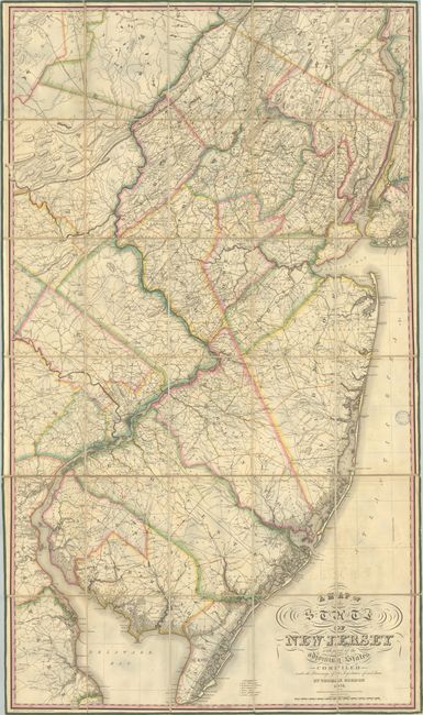
Lot 288
Subject: New Jersey
Gordon, Thomas F.
A Map of the State of New Jersey with Part of the Adjoining States Compiled Under the Patronage of the Legislature of Said State, 1828
Size: 32.6 x 56.7 inches (82.8 x 144 cm)
Estimate: $6,000 - $7,500
The First Official Map of New Jersey
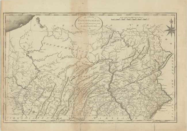
Lot 303
Subject: Pennsylvania
Lewis/Carey
The State of Pennsylvania. Reduced with Permission from Reading Howells Map, by Samuel Lewis, 1795
Size: 18.3 x 11.6 inches (46.5 x 29.5 cm)
Estimate: $450 - $550
Lot 304
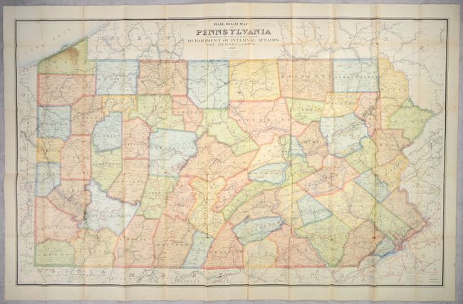
Subject: Pennsylvania
Wall, J. Sutton
Rail Road Map of Pennsylvania..., 1897
Size: 55.6 x 34.3 inches (141.2 x 87.1 cm)
Estimate: $180 - $220
Lot 305
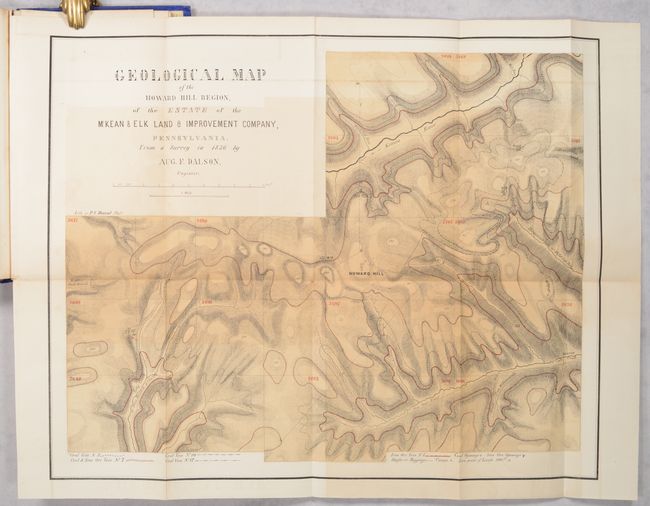
Subject: Northwestern Pennsylvania
[4 Maps in Report] First Annual Report of the Board of Directors of the McKean and Elk Land and Improvement Company to the Stockholders, 1857
Size: 6 x 9.1 inches (15.2 x 23.1 cm)
Estimate: $140 - $170
Price reduced by $25
56 lots
Page 1 of 2


