Subject: Southern United States, Civil War
Period: 1875 (published)
Publication:
Color: Black & White
Size:
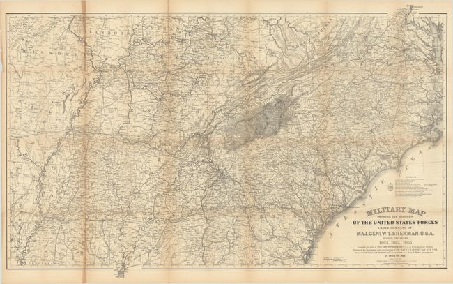
46.8 x 29.3 inches
118.9 x 74.4 cm
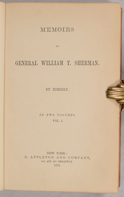
This is the full-sized version of this map drawn by Captain William Kossak in St. Louis, MO and printed by the Ferd. Mayer company of New York. It covers most of the southern theater of the Civil War, extending from Washington D.C. to Brunswick, GA and west to Natchez, Little Rock and St. Louis. The map is filled with remarkable details including roads and trails, towns and villages, rivers, creeks, and railroads. A legend at bottom further locates Infantry, Cavalry, U.S. fortifications and Rebel fortifications. Compiled under the direction of Bvt. Maj. W.L.B. Jenney by order of General Sherman, with 13 different authorities credited in its preparation. The map is included in the rear pocket to volume two of Sherman's Memoirs. 405 pages (Volume 1) and 409 pages (Volume 2). Hardbound in full contemporary leather with gilt title labels on spines and marbled endpapers. Published by Appleton & Company in New York.
References: Stephenson (CW) #72.
Condition: B
The folding map is very good with light toning along the left vertical fold, archival repairs to fold separations at top and bottom of the same fold, and a few short splits at the fold junctions. Text has uniform light toning. Covers are detached on both volumes. Bindings have light wear and scuffs to the spines.