Catalog Archive
Auction 207, Lot 142
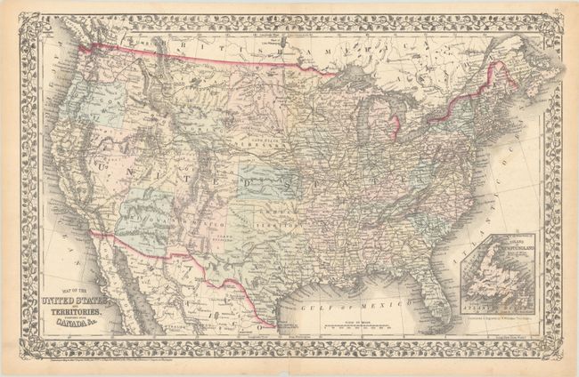
"Map of the United States, and Territories. Together with Canada &c.", Mitchell, Samuel Augustus
Subject: United States
Period: 1872 (dated)
Publication:
Color: Hand Color
Size:
21.8 x 13.8 inches
55.4 x 35.1 cm
Download High Resolution Image
(or just click on image to launch the Zoom viewer)
(or just click on image to launch the Zoom viewer)