Subject: Western United States
Period: 1857 (published)
Publication:
Color: Hand Color
Size:
23 x 20.3 inches
58.4 x 51.6 cm
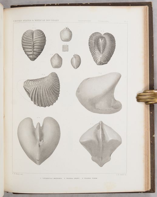
After the Treaty of Guadeloupe Hidalgo (1848), which ended the war with Mexico, it was necessary to establish a boundary acceptable to both Mexico and the United States. The Mexican Boundary Survey was the result and it provided Americans with the first detailed description of their newly acquired territory. The survey added greatly to an understanding of geography, topography, geology, botany, and ethnology.
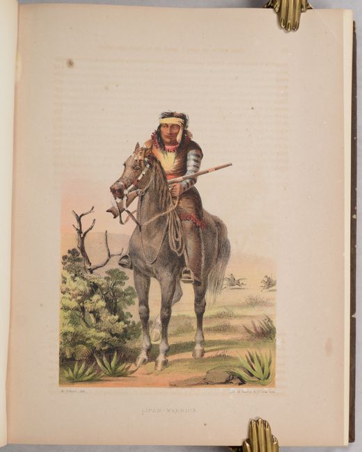
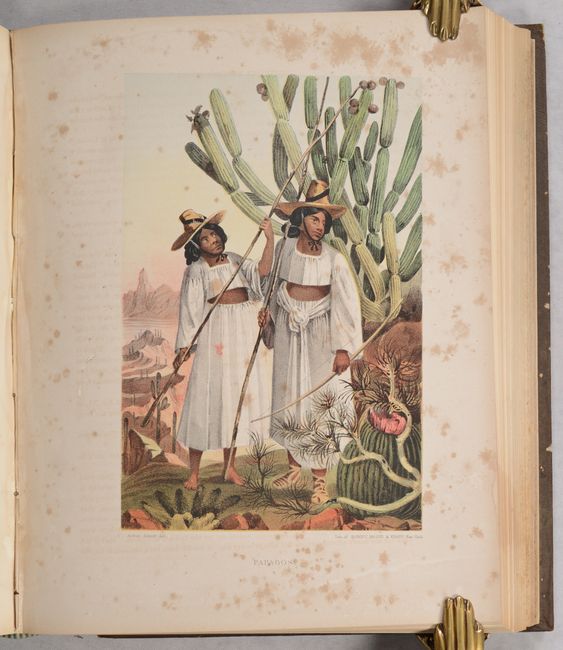
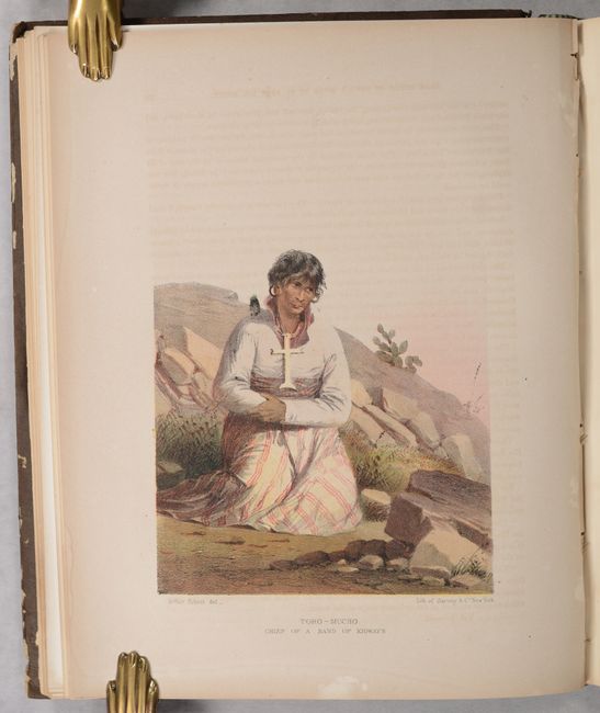
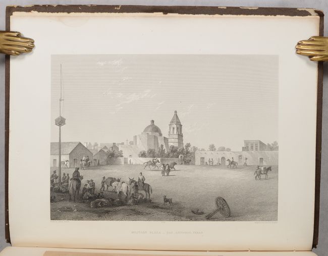
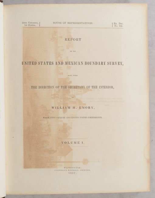
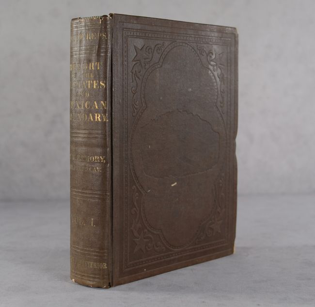
This is the apparently complete House of Representatives edition of Volume 1 which is composed of two parts: Part I (258 pp. with 26 preliminary pages) and Part II (174 pp. with 8 preliminary pages). There are numerous illustrations including several woodcuts embedded in the text, 12 chromolithographic plates, 93 steel engraved plates, 3 copper engraved sections, and one large folding map:
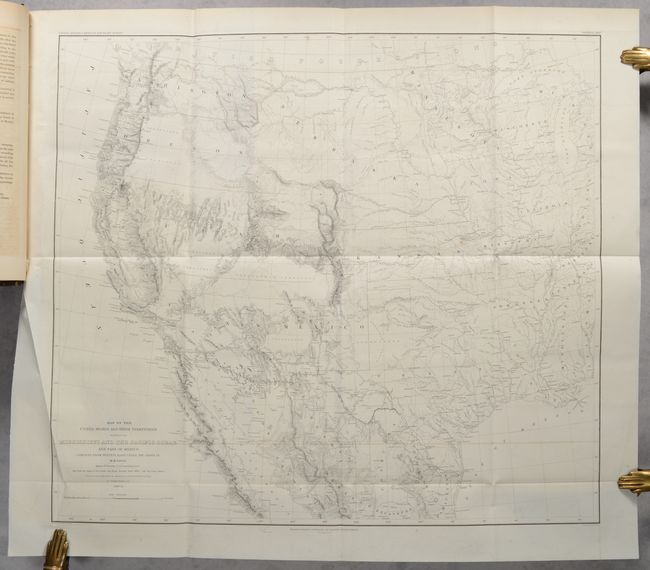
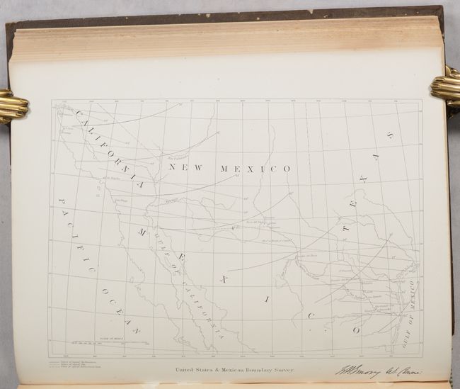
Map of the United States and Their Territories Between the Mississippi and the Pacific Ocean and Part of Mexico. This map is one of the foundation maps for the western United States and represents the culmination of fifty years of government explorations. Starting with Lewis and Clark, there were numerous official and unofficial surveys and explorations, all adding to the pool of knowledge presented here. While large sections are still labeled "unexplored territory," Emory fitted these fragments together with the information gathered during his surveys into a reasonably correct cartographic picture of the West. This map shows large, transitional territories of Nebraska, Kansas, New Mexico, Utah, Oregon, Washington, and Minnesota. It was drawn by Thomas Jekyll under the supervision of Lt. Nathaniel Michler of the Topographical Engineers. Lt. Michler worked with his counterpart representing Mexico, Captain Francisco Jimenez, to survey between Nogales and Yuma including the area south of Arivaca.
The geological map, which is not present in all issues, is absent here. This report is one of the most sought-after early southwestern Government reports because of its exceptional illustrations as well as geographic and cultural information. Hardbound in brown cloth with blind stamped illustrations on both covers and gilt titles on the spine.
References: Howes #E-146; Wagner-Camp #291; Wheat (TMW) #916
Condition: B+
The folding map is near fine (A) with minor offsetting and a few minor spots. Text and plates range from near fine to good, with light to occasionally moderate toning, scattered foxing, offsetting from opposing pages, and light dampstaining that is mostly confined to the margins. Covers have light shelf wear and some bumps and chipping along the edges.