Subject: Eastern Massachusetts, Boston
Period: 1891 (dated)
Publication: Atlas of Massachusetts
Color: Printed Color
Size:
25.9 x 17.6 inches
65.8 x 44.7 cm
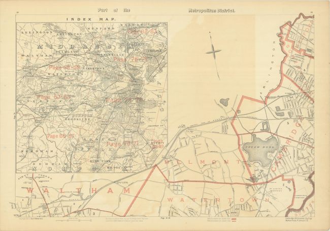
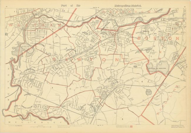
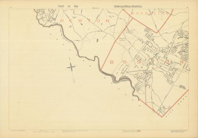
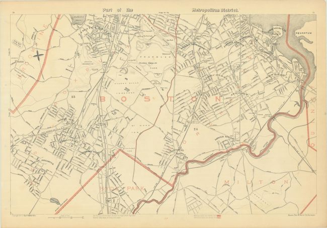
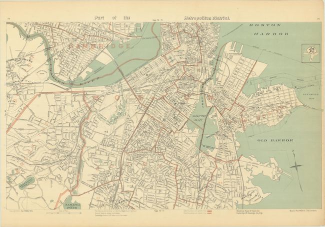
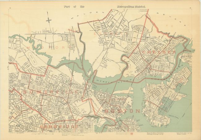
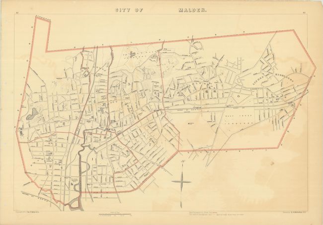
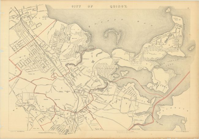
This group of maps was issued in the first edition of George Walker's uncommon Atlas of Massachusetts, and includes 6 sheets covering the entire City of Boston and vicinity as well as maps of the cities of Malden and Quincy. The maps present boundaries, roads, railroads, post offices, and buildings of public interest (churches, schools and cemeteries). Water features include islands, harbors, lighthouses, life-saving stations, and more. Cities and towns located include: all of Boston and parts of Cambridge, Waltham, Belmont, Watertown, Somerville, Medford, Newton, Brookline, Milton, Hyde Park, Chelsea, Everett, Malden and Quincy, along with many wards and neighborhoods. This first edition was published rolled with binding holes in the left margin as opposed to a centerfold.
References:
Condition:
The maps have some light toning and offsetting and binding holes in the left blank margin. The offsetting is more prominent on the Malden sheet and one of the Boston sheets containing the index (B). The remaining maps are very good (B+). The maps have been stored rolled and do not presently lay flat on their own.