Catalog Archive
Auction 207, Lot 262
"Map of Kansas", Kenyon Company, The
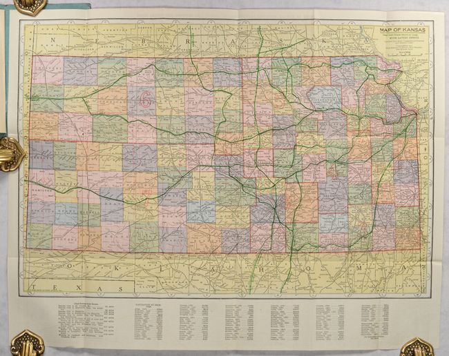
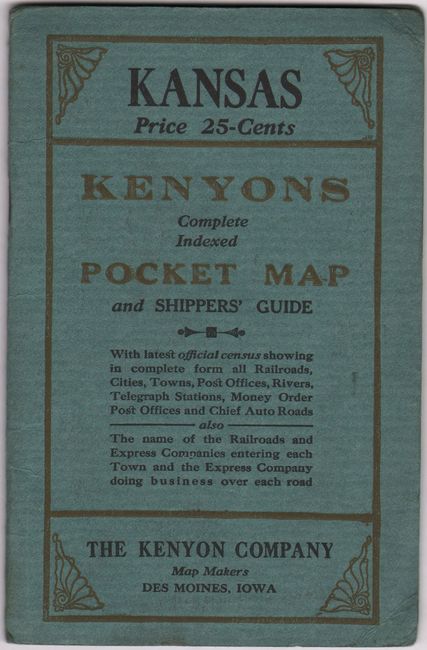
Subject: Kansas
Period: 1913 (dated)
Publication:
Color: Printed Color
Size:
19.8 x 13.3 inches
50.3 x 33.8 cm
Download High Resolution Image
(or just click on image to launch the Zoom viewer)
(or just click on image to launch the Zoom viewer)