Subject: New Jersey
Period: 1828 (dated)
Publication:
Color: Hand Color
Size:
32.6 x 56.7 inches
82.8 x 144 cm
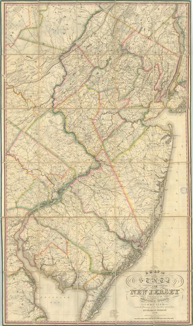
Thomas Gordon's map is the most important 19th century map of New Jersey. David Rumsey describes this work as the "cornerstone map of New Jersey...by far the most accurate map to date." While there were plans for a state-sanctioned map as early as 1799, Gordon's map was the first to actually be produced and is therefore also noteworthy as the first official map of New Jersey. The project was born out of a November 1822 Act by the New Jersey General Assembly that encouraged “the formation of an accurate map of the state” and authorized a $1,000 loan to Thomas Gordon, who was a lawyer, common pleas court judge, and early surveyor based out of Trenton. The loan was intended “to enable him to procure additional surveys” and to defray other costs related to preparing the map (though he spent much more in its preparation). It took Gordon six years to compile the necessary data for the map, which was then skillfully engraved by Henry Tanner.
The resulting map delineates both counties and townships in contemporary outline color. 14 counties are identified (including the new Warren County established in 1824) in New Jersey, and the map extends to provide additional detail of Delaware and the vicinities of Philadelphia and New York. A legend at bottom defines some remarkable detail present in the map including various churches (Episcopal, Presbyterian, Friends, etc.), mills, taverns, and even individual houses. The evolving road and canal network is also on display throughout, which would soon be joined by the nation’s earliest railroads. In fact, the Philadelphia & Columbia Railroad was chartered the same year this map was published though it was not completed until 1834. The map is drawn on a highly detailed scale of 3 miles per inch.
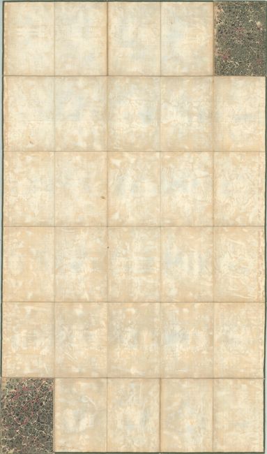
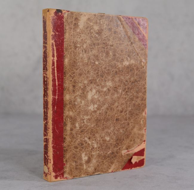
Gordon's map was well received by the state legislature, who subsequently purchased 125 copies for various state and local offices (in addition to an unknown number of private sales). A second edition of the map was produced in 1833. In 1850, Robert Hornor published a new edition, with subsequent updates in 1853 and 1854. Dissected and backed with contemporary linen and laid into original boards.
This attractive example was previously held in the personal library of the distinguished late 19th/early 20th century antiquarian H.E. Deats of Flemington, New Jersey.
References: Delaney pp. 46-50; Ristow pp. 115-117; Rumsey #2273.
Condition: B+
Contemporary outline color on a bright sheet that has been dissected and backed with contemporary linen. There is some light offsetting and a previous owner's stamp along the right sheet edge. New ribbon edging has been added all around. Covers have moderate shelf wear and several small abrasions.