Subject: Pennsylvania
Period: 1897 (dated)
Publication:
Color: Printed Color
Size:
55.6 x 34.3 inches
141.2 x 87.1 cm
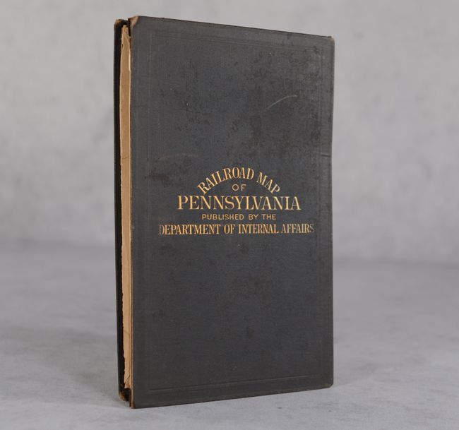
This large folding map was published by the Pennsylvania Department of Internal Affairs and presents the extensive railroad network. Counties are attractively delineated in color along with numerous place names, post offices, rivers, creeks, mines and more. Railroads are shown in excellent detail with a legend at bottom right identifying the lines of the Pennsylvania Railroad, Philadelphia & Reading, Baltimore & Ohio, and several others. Drawn on a scale of 6 miles per inch and joined on two sheets. Lays into brown cloth boards with gilt title on the front cover.
References: Modelski #297.
Condition: B
Clean and colorful with archival repairs to a 6.5" tear at center and two fold separations at top that extend 3.25" into the image. There are numerous other short splits around the fold junctions and a minor printing anomaly in Erie County. Issued folding. Covers have minor wear and are split in two along the spine.