Subject: Alaska
Period: 1916 (published)
Publication:
Color: Printed Color
Size:
6.4 x 9.3 inches
16.3 x 23.6 cm
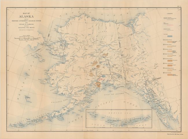
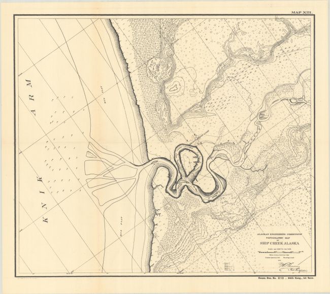
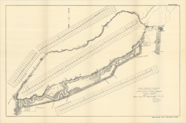
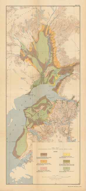
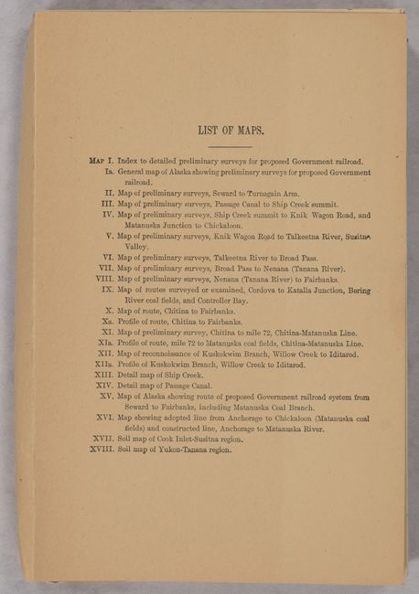
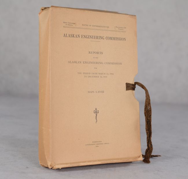
This portfolio of 23 maps accompanied the Reports of the Alaskan Engineering Commission, a group that was tasked with the planning and construction of the Alaska Railroad. The maps, several in color, show the proposed routes, territory in the vicinity, and the location of natural resources. Of particular interest is an early map of Ship Creek (map #13), which was renamed Anchorage when it became the headquarters and hub of the railroad. The railroad, completed in 1923, and the accompanying telephone and telegraph lines, were part of a federally-funded project that served a vital role in the economic development of the territory as it connected ice-free ports to the resource-rich interior regions. Its construction through remote and rugged terrain shown in the topographic features on the maps was a major engineering achievement. Housed in a stiff paper portfolio with string ties.
References:
Condition: A
Condition code is for the folding maps, which are near fine to fine with a hint of toning on a few maps. Portfolio case is worn with some archival tape repairs along the edges, but is still intact and accompanied by string ties.