Subject: Kansas
Period: 1857 (dated)
Publication:
Color: Hand Color
Size:
21.5 x 27.5 inches
54.6 x 69.9 cm
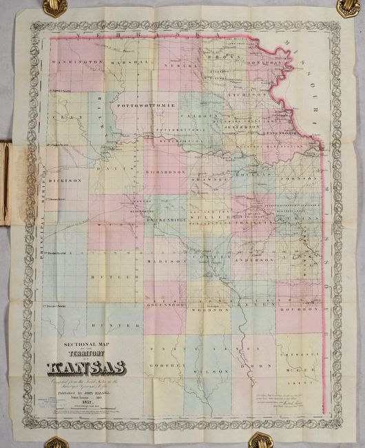
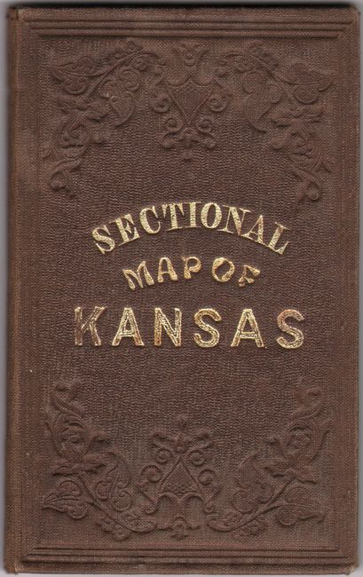
This early map of eastern Kansas Territory was published by John Halsall and based upon “Field Notes in the Surveyor General’s Office.” It presents a total of 37 named counties with surveying work well underway in about half the counties and little to none in the rest. There is no evidence of the Bleeding Kansas conflict on the map, which locates forts, Baptist and Catholic missions, numerous Indian lands, and early towns and settlements including the territorial capital at Lecompton, Topeka, Tecumseh, Lawrence, Franklin, Kansas City, and more. Along the Kansas River between Topeka and Lecompton are 23 numbered parcels, in reference to the "half breed tracts" given to each of the 23 mixed-race inhabitants in the territory. Numerous Indian reservations are intertwined within these early counties including lands designated for the Kickapoo, Delaware, Pottawattamie, Kansas, Sac and Fox, and many more. This large region was part of Indian Territory per the Indian Removal Act of 1830 until Kansas became a territory in 1854. These Indian lands would eventually be ceded back to the U.S. government to make way for settlement and transcontinental railroads. Drawn on a scale of 8 miles per inch. Folds into brown cloth boards with gilt title on the front cover. This map was first copyrighted by J.H. Colton in 1856 and the inside front cover advertises his other publications.
References: Phillips (Maps) p. 346; Rumsey #4094.
Condition: B+
Issued on thin, banknote-style paper with contemporary color. There are a few faint spots and some staining along the left border where the map was glued down to the rear cover. There is an old stamp for the Bureau of Railway Economics (dated 1916) at lower left. Covers have a few light stains.