Articles
95 articles
Page 1 of 5
A Primer on European Printing & Papermaking
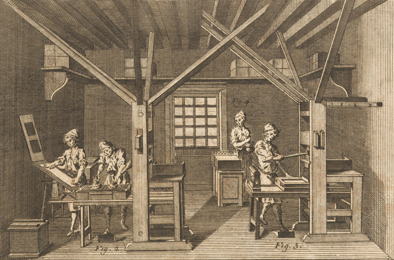
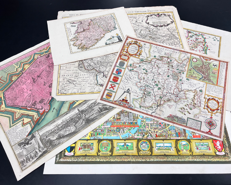
This January 2026 article reviews the basics of European printing and papermaking for maps, and how they evolved over the centuries. Focusing on the fifteenth to nineteenth centuries, the article reviews the three main types of printing (relief, intaglio, and planographic) and papermaking (handmade laid paper, wove paper, and wood pulp paper) in relation to printed antiquarian maps.
Auction Trends in 2025
This December 2025 article reviews the trends in the auction market for maps in 2025. We share great insights about what's selling and what's not, as well as some interesting facts and figures about Old World Auctions.
John Law and the Mississippi Company
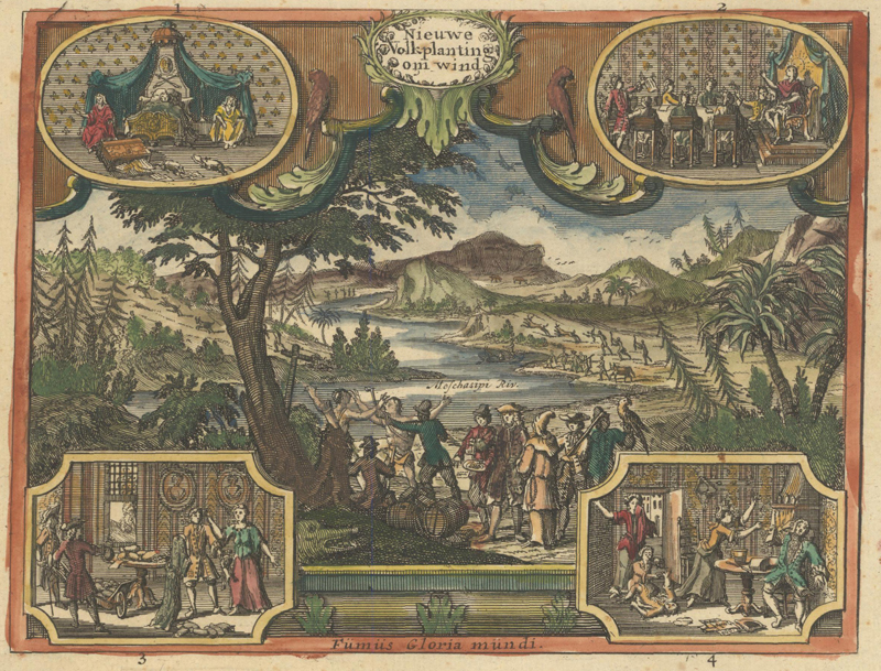
This October 2025 article tells the story of John Law, a Scottish economist and financier who established the Mississippi Company for the French government. Through his bank and real estate scheme, Law was largely responsible for the “Mississippi Bubble" incident, one the most infamous financial meltdowns in history.
Homann, Seutter, Lotter and Their Heirs
This July 2025 article gives an overview of the major German map publishers of the 18th century and explains the interrelationships between them. The article focuses on Homann, Homann Heirs, Seutter, Lotter, Probst, Walch and their families.
Five Tips to Becoming a Winning Bidder
This May 2025 article offers five tips to help you determine what to bid on, how much to bid, and how to become a winning bidder.
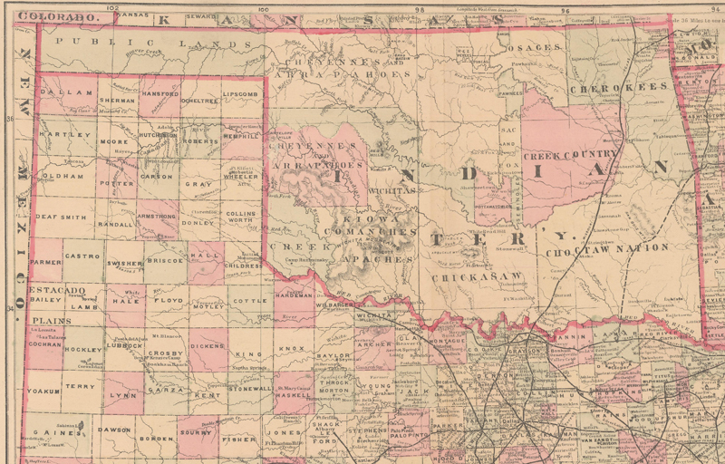
No Man's Land: The Cartographic Evolution of the Oklahoma Panhandle
This March 2025 article explains the term "No Man's Land," which was used in the mid-1880s to describe the Oklahoma Panhandle. The article explains the origins of the region and its boundaries, as well as how the region evolved cartographically to become part of the state of Oklahoma.
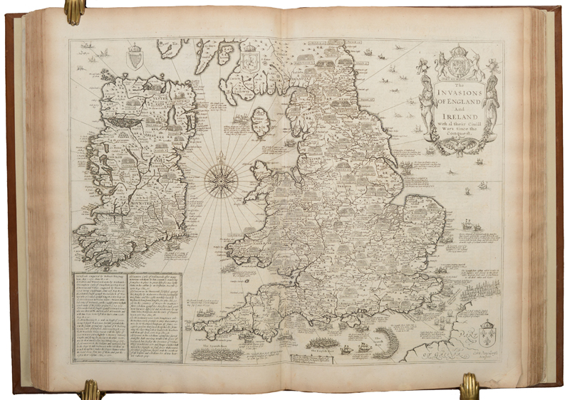
The Life and Works of John Speed
This January 2025 article gives a brief overview of John Speed, one of the most important and famous figures of all English mapmakers. The article explains how he became involved in the map trade and the history behind his two influential atlases, "The Theater of the Empire of Great Britaine" and "A Prospect of the Most Famous Parts of the World."
Auction Trends in 2024
This December 2024 article reviews the trends in the auction market for maps in 2024. We share great insights about what's selling and what's not, as well as some interesting facts and figures about Old World Auctions.
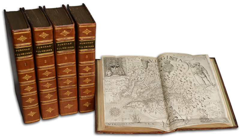
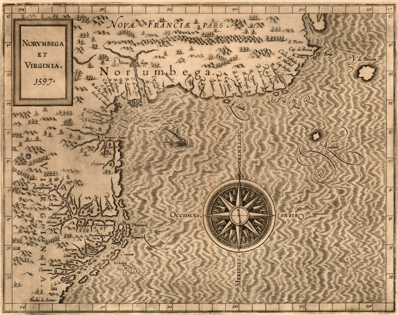
Norumbega: The Dream Behind New England
This August 2024 article explores the cartographic myth of Norumbega, a region that appeared in the vicinity of present-day New England on maps of the New World in the 16th and 17th centuries. It discusses the roots of Norumbega as a place name, geographical region, and colonial concept, starting with the voyage of Giovanni da Verrazzano and culminating in the exploration and establishment of New England.
Establishing the U.S. Coast Survey
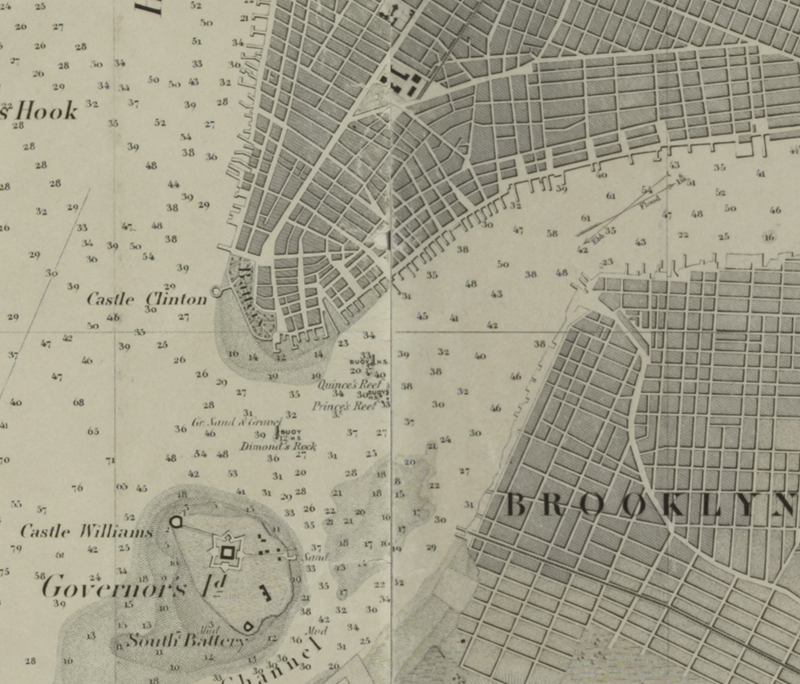
This May 2024 article examines the origins of the U.S. Coast Survey and its first 60 years of operation. It provides an overview of the first two Superintendents of the Survey, Ferdinand Hassler and Alexander Bache, and how their leadership shaped the functions and output of the Coast Survey.
Jefferson and Maps
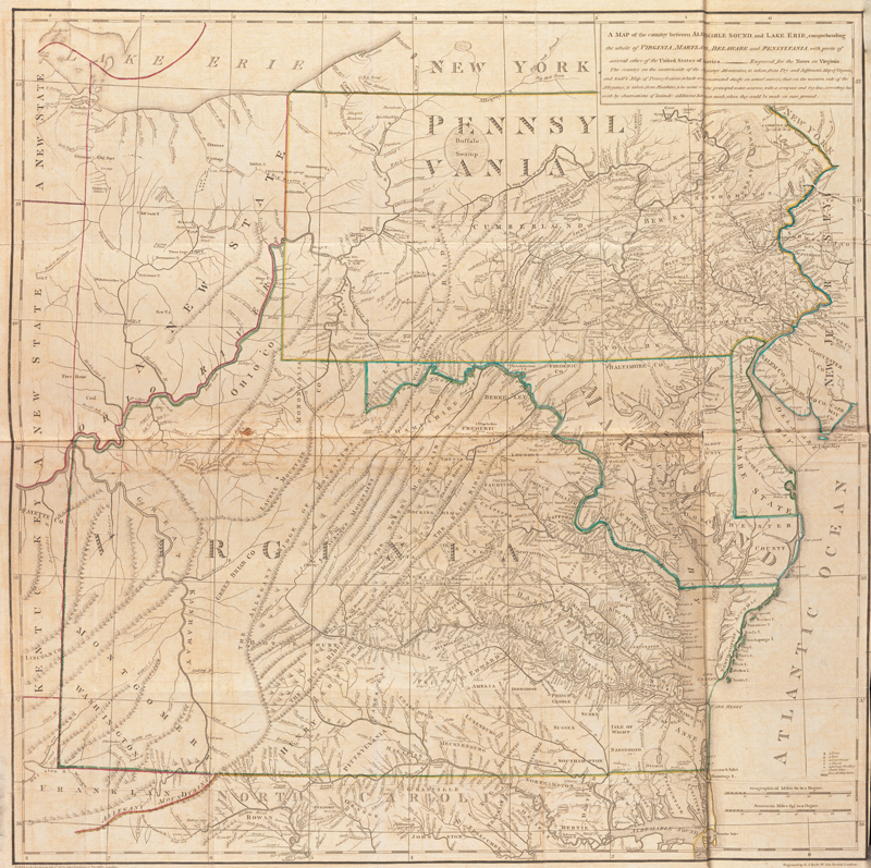
This March 2024 article gives an overview of the cartographic endeavors of Thomas Jefferson, with an in-depth discussion of his only published map, "A map of the Country Between Albemarle Sound, and Lake Erie."
The Maps & Editions of Ptolemy
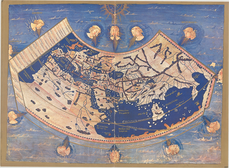
This January 2024 article reviews the major Ptolemaic works published between 1477 to 1730. Based on the work of the 2nd-century geographer Claudius Ptolemy, they provide a glimpse into an ancient understanding of the world. This primer provides clarity about Ptolemy, his ideas, and the most notable editions of his "Geographia."
Auction Trends in 2023
This December 2023 article reviews the trends in the auction market for maps in 2023. We share great insights about what's selling and what's not, as well as some interesting facts and figures about Old World Auctions.
Cataloging Maps at Old World Auctions
This October 2023 article offers a brief overview on our approach to cataloging maps for auction. The article is divided into three key areas including how we describe a map’s physical condition, develop a catalog description, and determine an auction estimate
Mapping Cook
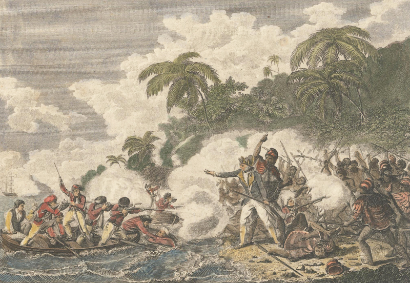
This August 2023 article offers a brief overview of Captain James Cook’s vast explorations and the maps that resulted. Captain Cook was an explorer, surveyor, and chartmaker who commanded three voyages. On these voyages he was able to make significant contributions to the mapping of New Zealand, Australia, Hawaii, and the South Pacific.
Mapping Cortés
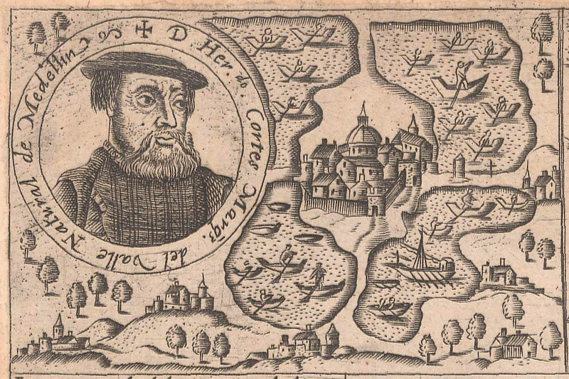
This July 2023 article gives an overview of the explorations and conquests of Hernán Cortés through Mexico, with an emphasis on the maps and related engravings that documented and mythologized his exploits.
Lewis & Clark: Mapping the West
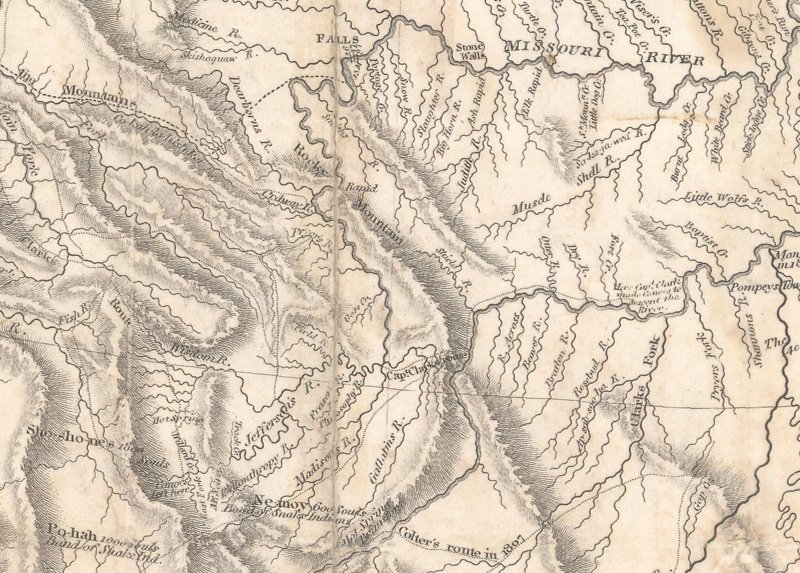
This May 2023 article gives an overview of the Lewis & Clark expedition through the western United States, with particular attention to the maps and cartographic tools they used on their journey.
Mapping Drake
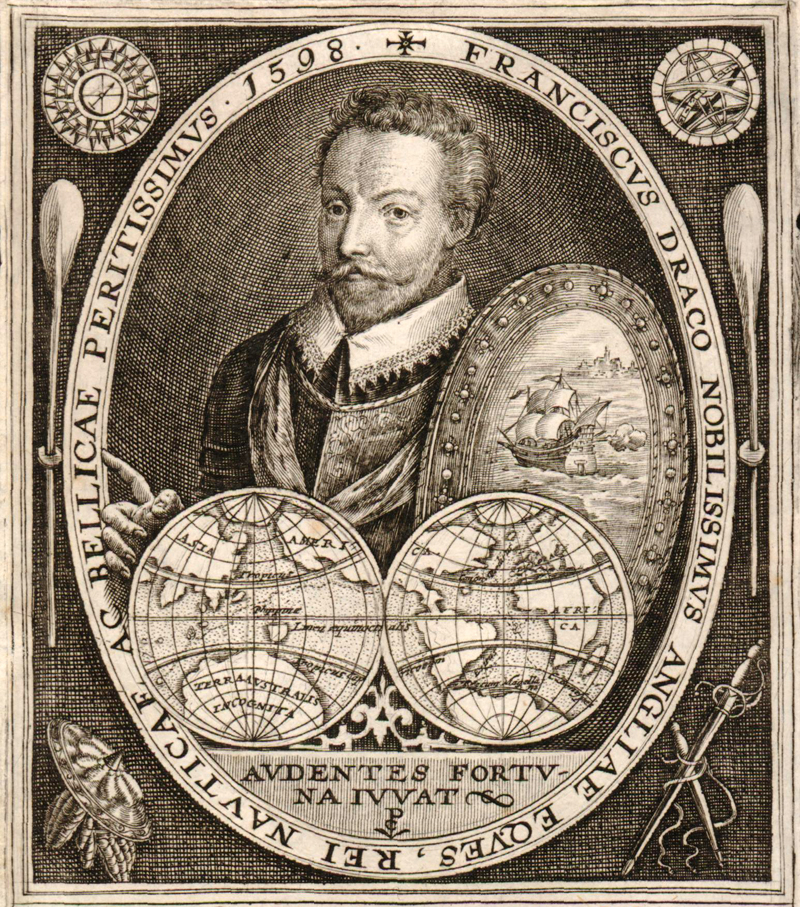
This March 2023 article tells the tale of Sir Francis Drake’s journey around the world, with an emphasis on how his circumnavigation voyage was reflected on maps over the centuries.
Mapping Magellan
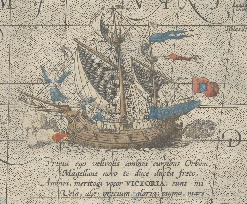
This January 2023 article retraces the route of Ferdinand Magellan’s extraordinary circumnavigation of the world, identifying maps that showcase the places that were discovered along the way.
Auction Trends in 2022
This December 2022 article reviews the trends in the auction market for maps in 2022. We share great insights about what's selling and what's not, as well as some interesting facts and figures about Old World Auctions.
95 articles
Page 1 of 5


