Filtered by Category:Books, Atlases, Travel Guides, Geography & Reference Books(Show All Categories)
Current Auction
42 lots
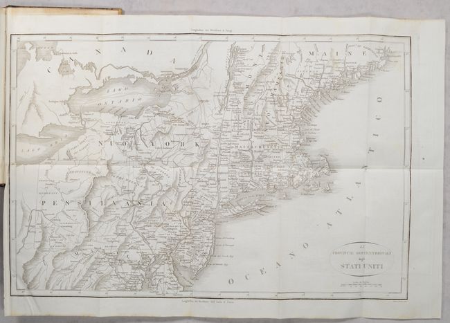
Lot 146
Subject: Eastern United States, Revolutionary War
Botta, Carlo
[2 Maps in 3 Volumes] Le Provincie Meridionali degli Stati Uniti [and] Le Provincie Settentrionali degli Stati Uniti [in] Storia della Guerra della Independenza degli Stati Uniti di America Volume Primo [and] Volume Secondo [and] Volume Terzo, 1820
Size: 5.5 x 8.5 inches (14 x 21.6 cm)
Estimate: $300 - $400
"The Most Valuable History of the Revolution Up to its Date" - Howes
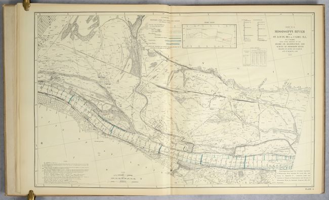
Lot 166
Subject: Mississippi River, Missouri, Illinois
U.S. Government
Atlas Illustrating Report of March 20, 1909, of Board on Examination and Survey of Mississippi River..., 1909
Size: 22.8 x 36.8 inches (57.9 x 93.5 cm)
Estimate: $300 - $400
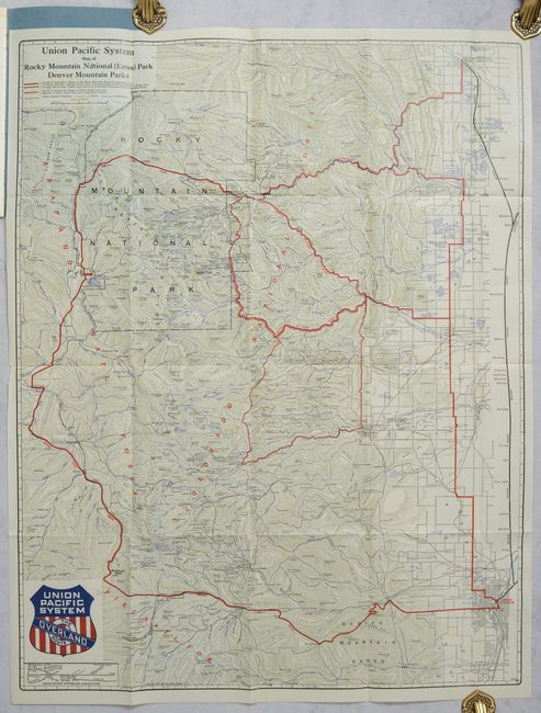
Lot 212
Subject: Colorado
Railroad Companies, (Various)
[Map in Book] Union Pacific System Map of Rocky Mountain National (Estes) Park Denver Mountain Parks [in] Colorado's Mountain Playgrounds, 1924
Size: 24.1 x 30.9 inches (61.2 x 78.5 cm)
Estimate: $140 - $170
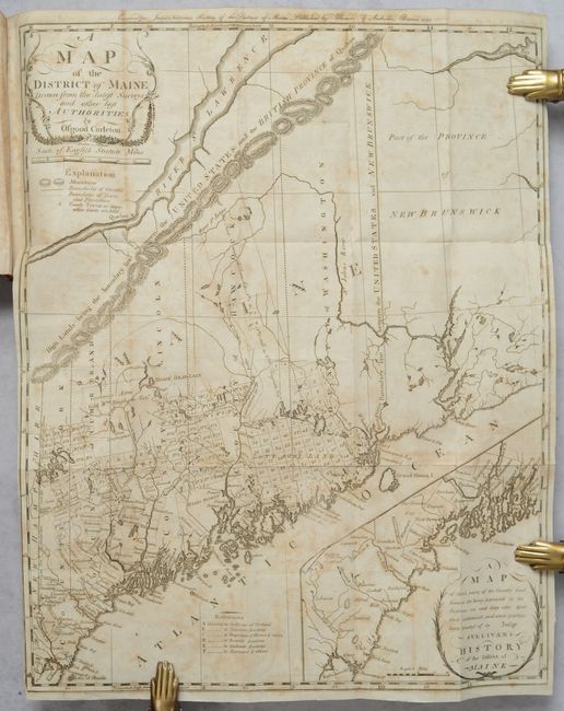
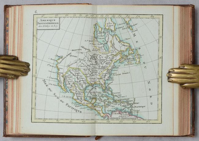
Lot 244
Subject: Maine
Carleton, Osgood
[Map in Book] A Map of the District of Maine, Drawn from the Latest Surveys and Other Best Authorities [in] The History of the District of Maine, 1795
Size: 16.4 x 20.4 inches (41.7 x 51.8 cm)
Estimate: $1,800 - $2,200
The Second Printed Map of Maine
Lot 274
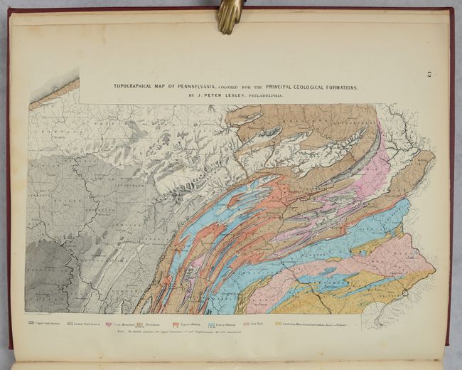
Subject: Pennsylvania, Atlas
Walling & Gray
New Topographical Atlas of the State of Pennsylvania with Descriptions Historical, Scientific, and Statistical..., 1872
Size: 13.9 x 17.8 inches (35.3 x 45.2 cm)
Estimate: $375 - $450
Lot 292
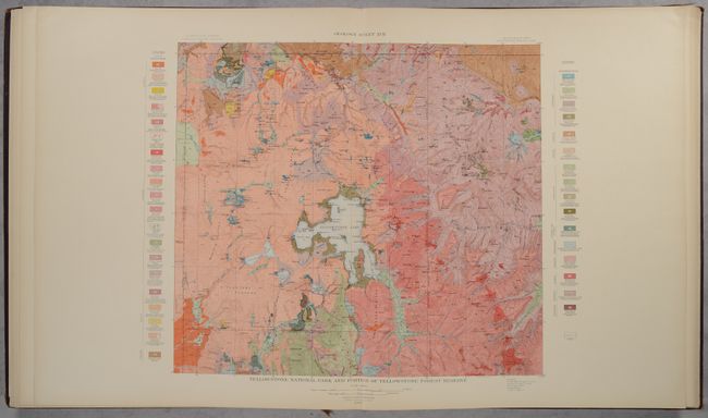
Subject: Yellowstone, Wyoming, Geology
U.S. Geological Survey (USGS)
Atlas to Accompany Monograph XXXII on the Geology of the Yellowstone National Park, 1904
Size: 18.9 x 22 inches (48 x 55.9 cm)
Estimate: $475 - $600
Lot 329
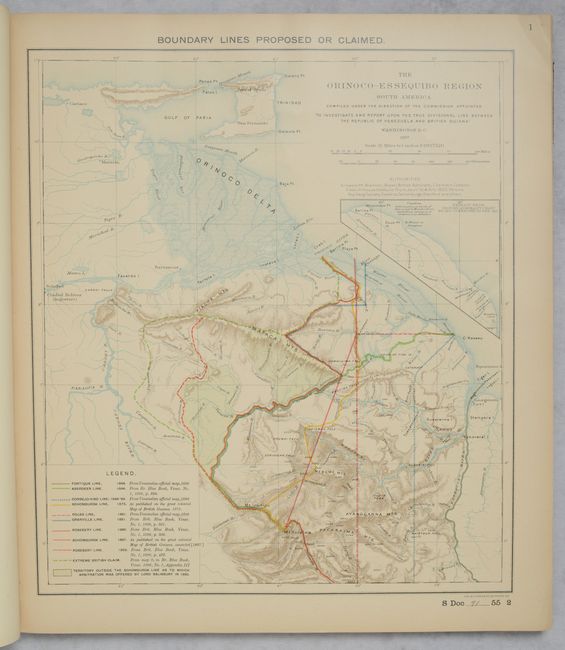
Subject: Venezuela & Guyana
U.S. Government
[Venezuelan Boundary Commission] Maps of the Orinoco-Essequibo Region South America Compiled for the Commission Appointed by the President of the United States..., 1897
Size: 15 x 17 inches (38.1 x 43.2 cm)
Estimate: $350 - $425
Lot 694
Subject: Atlases
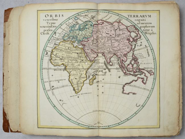
Weigel, Christopher
Descriptio Orbis Antiqui in XLIV. Tabulis Exhibita..., 1720
Size: 10 x 14.8 inches (25.4 x 37.6 cm)
Estimate: $2,000 - $2,300

Lot 695
Subject: Atlases
Schreiber, Johann Georg
Atlas Selectus von Allen Konigreichen und Landern der Welt..., 1749
Size: 6.4 x 8.3 inches (16.3 x 21.1 cm)
Estimate: $2,400 - $3,000
Petite Atlas with 42 Maps in Full Original Color
Lot 696
Subject: Atlases
Rizzi-Zannoni, Giovanni Antonio
Atlas Geographique Contenant la Mappemonde et les Quatre Parties, avec les Differents Etats d'Europe..., 1782
Size: 3.5 x 5.1 inches (8.9 x 13 cm)
Estimate: $1,200 - $1,500
Remarkable Miniature Atlas with 30 Maps
Lot 697
Subject: Atlases
Malte-Brun, Conrad
Precis de la Geographie Universelle ou Description de Toutes les Parties du Monde sur un Plan Nouveau..., 1846
Size: 11.4 x 15.8 inches (29 x 40.1 cm)
Estimate: $475 - $600
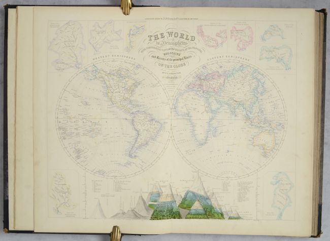
Lot 698
Subject: Atlases
Swanston/Fullarton
[Companion Atlas to the Gazetteer of the World], 1860
Size: 13.3 x 19.2 inches (33.8 x 48.8 cm)
Estimate: $800 - $950
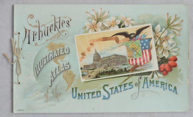
Lot 699
Subject: Atlases
Arbuckle Bros. Coffee Co.
Arbuckles' Illustrated Atlas of the United States of America, 1889
Size: 11.2 x 6.9 inches (28.4 x 17.5 cm)
Estimate: $475 - $600
Lot 700
Subject: Atlases
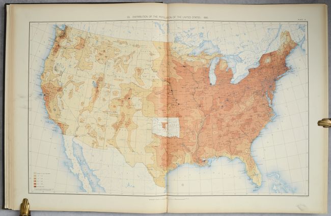
U.S. Department of Interior
Statistical Atlas of the United States, Based Upon Results of the Eleventh Census, 1898
Size: 16.8 x 21.3 inches (42.7 x 54.1 cm)
Estimate: $350 - $425
Lot 701
Subject: School Atlases
Woodbridge, William Channing
Modern Atlas, on a New Plan; to Accompany the System of Universal Geography; A New Edition, Improved, 1835
Size: 9.7 x 12.1 inches (24.6 x 30.7 cm)
Estimate: $200 - $230
Lot 702
Subject: Geography Books
Nouveau Dictionnaire Geographique, ou Description de Toutes les Parties du Monde, 1817
Size: 5.1 x 8.4 inches (13 x 21.3 cm)
Estimate: $350 - $425
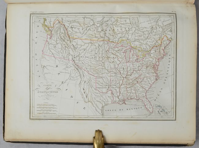
Lot 703
Subject: Geography Books, Texas
Morse, Sidney Edwards
A System of Geography, for the Use of Schools. Illustrated with More than Fifty Cerographic Maps, and Numerous Wood-Cut Engravings, 1845
Size: 9.5 x 12.5 inches (24.1 x 31.8 cm)
Estimate: $200 - $230
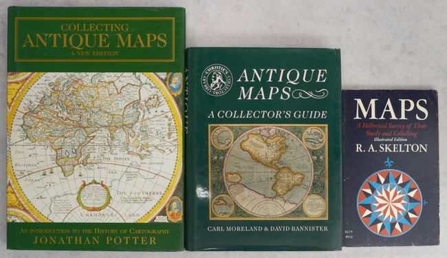
Lot 704
Subject: References
[Lot of 3] Collecting Antique Maps - An Introduction to the History of Cartography [and] Christie's Collectors Guides - Antique Maps [and] Maps - A Historical Survey of Their Study and Collecting - Illustrated Edition, 1975-99
Size: See Description
Estimate: $55 - $70
NO RESERVE
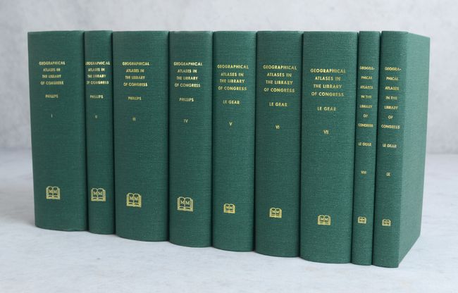
Lot 705
Subject: References
Phillips/LeGear
[9 Volumes] A List of Geographical Atlases in the Library of Congress with Bibliographical Notes, 1992
Size: 5.6 x 8.6 inches (14.2 x 21.8 cm)
Estimate: $550 - $700
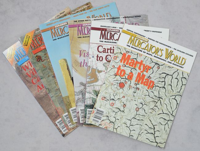
Lot 706
Subject: References, Magazines
[Lot of 6] Mercator's World - The Magazine of Maps, Atlases, Globes and Charts, 2000-03
Size: 8.4 x 10.9 inches (21.3 x 27.7 cm)
Estimate: $40 - $60
NO RESERVE
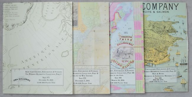
Lot 707
Subject: References, Auction Catalog
[4 Volumes - PBA Galleries Catalogs] Rare Cartography, Exploration & Voyages: The Warren Heckrotte Collections, Part I-IV, 2015-16
Size: 8.5 x 11 inches (21.6 x 27.9 cm)
Estimate: $40 - $60
NO RESERVE
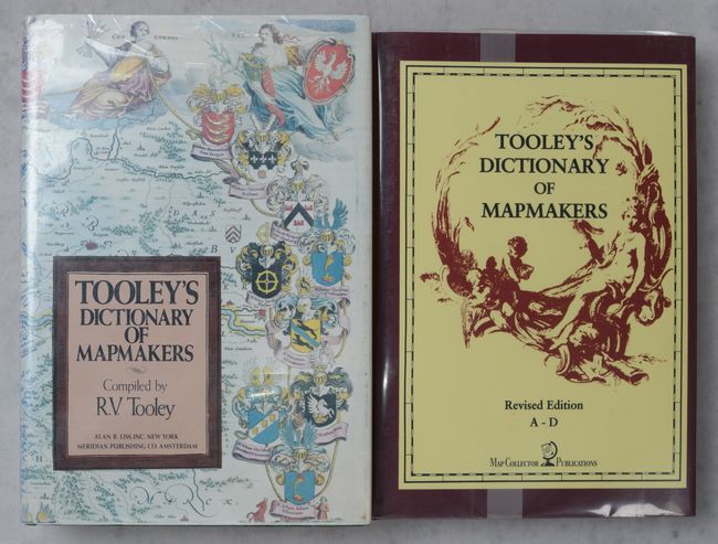
Lot 708
Subject: References, Mapmakers
Tooley, R. V.
[Lot of 2] Tooley's Dictionary of Mapmakers [and] Tooley's Dictionary of Mapmakers - Revised Edition A-D, 1979-99
Size: See Description
Estimate: $120 - $150
Lot 709
Subject: References, Cornelis Claesz
Schilder, Gunter
[Lot of 2 - Volume with Portfolio] Monumenta Cartographica Neerlandica VII, 2003
Size: 20.5 x 16.2 inches (52.1 x 41.1 cm)
Estimate: $120 - $150
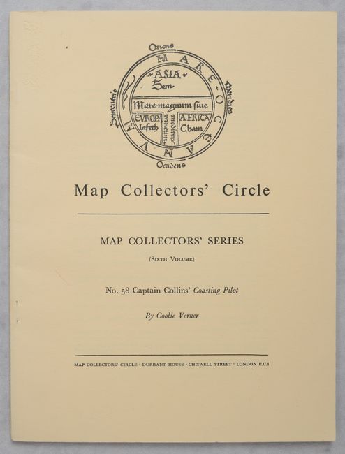
Lot 710
Subject: References, Captain Greenville Collins
Map Collectors' Circle - No. 58: Captain Collins' Coasting Pilot, 1969
Size: 7.3 x 9.8 inches (18.5 x 24.9 cm)
Estimate: $15 - $20
NO RESERVE
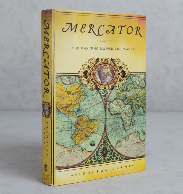
Lot 711
Subject: References, Mercator
Mercator: The Man Who Mapped the Planet, 2002
Size: 6.6 x 9.6 inches (16.8 x 24.4 cm)
Estimate: $10 - $20
NO RESERVE
Lot 712
Subject: References, 17th-Century Dutch Cartography
Schilder, Gunter
[Lot of 2 - Volume with Portfolio] Monumenta Cartographica Neerlandica VI, 2000
Size: 20.5 x 16.2 inches (52.1 x 41.1 cm)
Estimate: $160 - $190
Includes 95 Reproductions of Classic Carte-a-Figures Maps from the Golden Age of Dutch Cartography
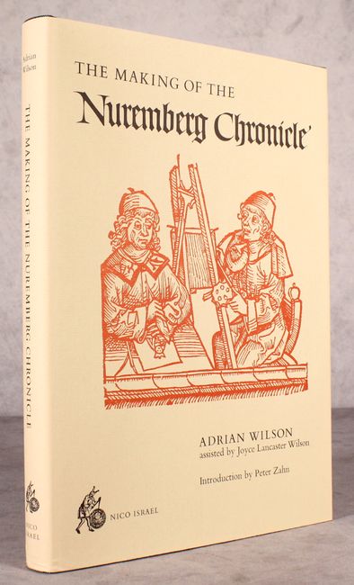
Lot 713
Subject: References, Incunabula
Wilson, Adrian
The Making of the Nuremberg Chronicle, 1978
Size: 9.8 x 14 inches (24.9 x 35.6 cm)
Estimate: $140 - $170
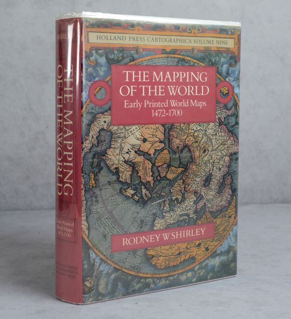
Lot 714
Subject: References, World
Shirley, Rodney W.
The Mapping of the World - Early Printed World Maps 1472-1700, 1983
Size: 9.8 x 13.8 inches (24.9 x 35.1 cm)
Estimate: $325 - $400
Lot 715
Subject: References, Globes
Philip, George
Martin Behaim His Life and His Globe, 1908
Size: 12.6 x 15.5 inches (32 x 39.4 cm)
Estimate: $300 - $375
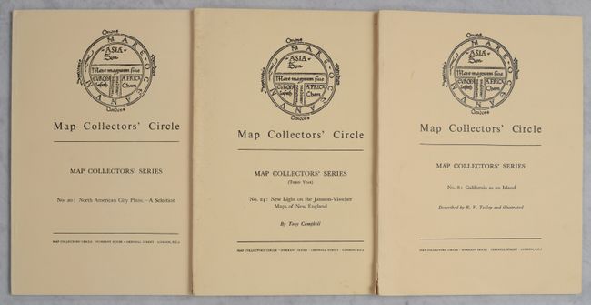
Lot 716
Subject: References, North America
[Lot of 3] Map Collectors' Circle - Nos. 8, 20, & 24, 1964-65
Size: 7.3 x 9.8 inches (18.5 x 24.9 cm)
Estimate: $50 - $60
NO RESERVE
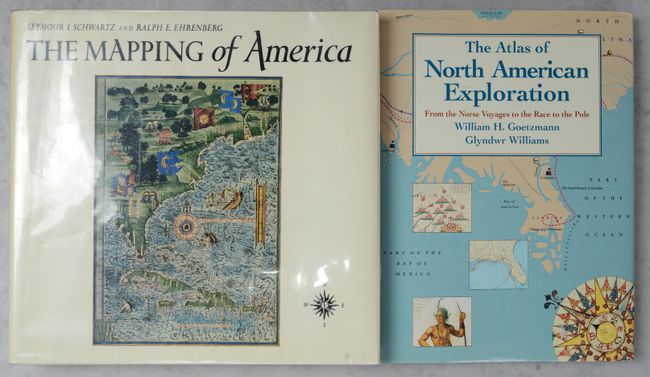
Lot 717
Subject: References, North America
[Lot of 2] The Mapping of America [and] The Atlas of North American Exploration from the Norse Voyages to the Race to the Pole, 1980-92
Size: See Description
Estimate: $80 - $100
NO RESERVE
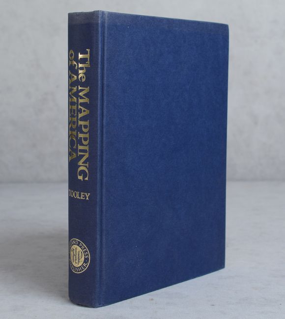
Lot 718
Subject: References, North America
Tooley, R. V.
The Mapping of America, 1988
Size: 7.4 x 10.1 inches (18.8 x 25.7 cm)
Estimate: $110 - $140
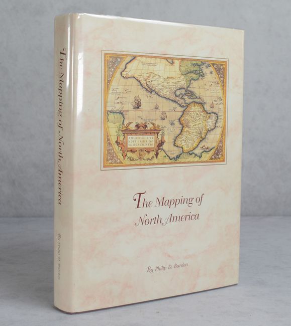
Lot 719
Subject: References, North America
Burden, Philip D.
The Mapping of North America - A List of Printed Maps 1511-1670, 1996
Size: 10.6 x 14.3 inches (26.9 x 36.3 cm)
Estimate: $220 - $250
Lot 720
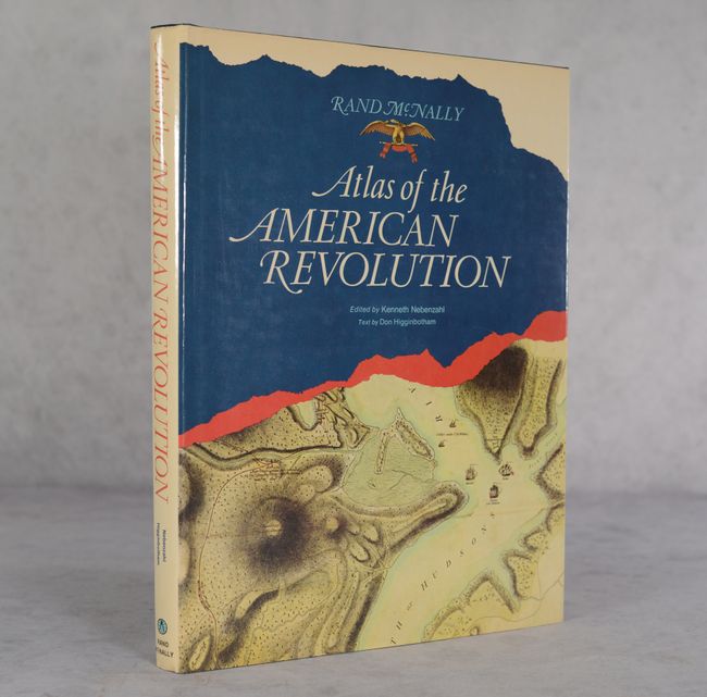
Subject: References, Revolutionary War
Nebenzahl, Kenneth
Atlas of the American Revolution, 1974
Size: 11.4 x 15.1 inches (29 x 38.4 cm)
Estimate: $50 - $70
NO RESERVE
Lot 721
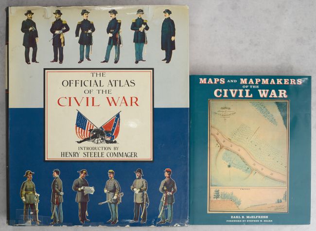
Subject: References, Civil War
[Lot of 2] The Official Atlas of the Civil War [and] Maps and Mapmakers of the Civil War, 1958-99
Size: See Description
Estimate: $110 - $140
Lot 722
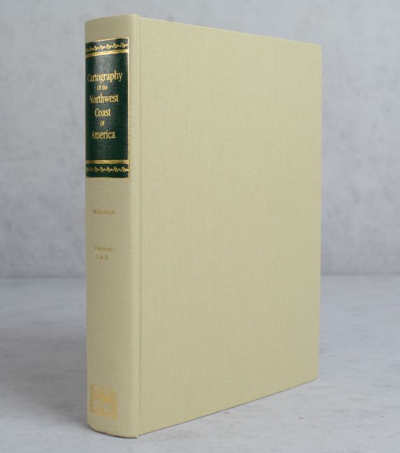
Subject: References, Northwestern United States & Canada
Wagner, Henry R.
The Cartography of the Northwest Coast of America to the Year 1800, 1999
Size: 8.6 x 11.1 inches (21.8 x 28.2 cm)
Estimate: $140 - $170
Lot 723
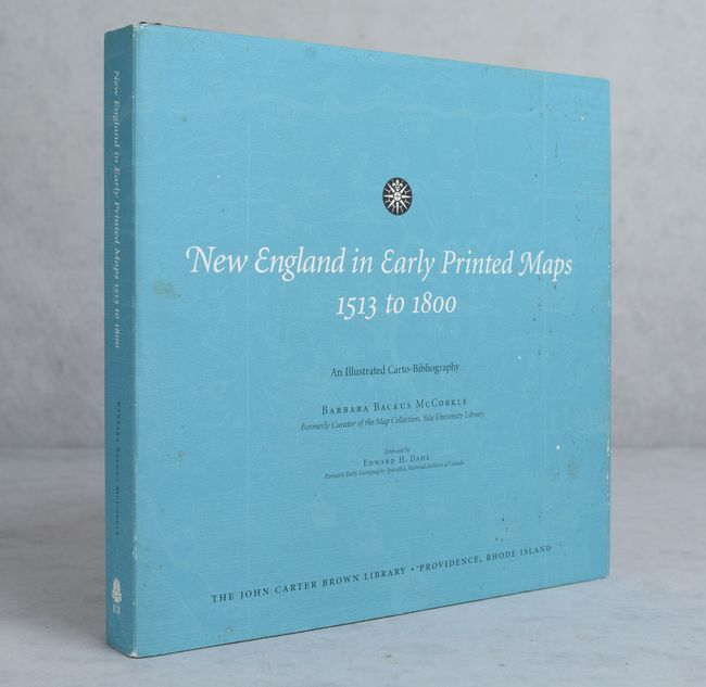
Subject: References, New England
McCorkle, Barbara B.
New England in Early Printed Maps 1513 to 1800 - An Illustrated Carto-Bibliography, 2001
Size: 12.4 x 11.8 inches (31.5 x 30 cm)
Estimate: $140 - $170
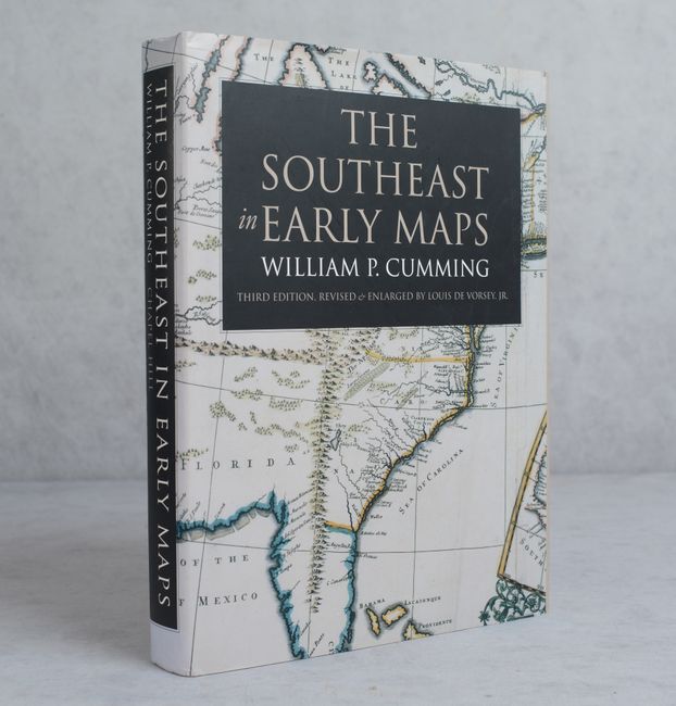
Lot 724
Subject: References, Southeastern United States
Cumming, William P.
The Southeast in Early Maps , 1998
Size: 9.3 x 12.3 inches (23.6 x 31.2 cm)
Estimate: $110 - $140
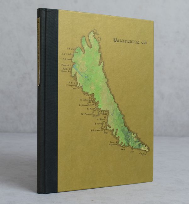
Lot 725
Subject: References, California
California 49 - Forty-Nine Maps of California from the Sixteenth Century to the Present, 1999
Size: 8.8 x 11.3 inches (22.4 x 28.7 cm)
Estimate: $80 - $100
NO RESERVE
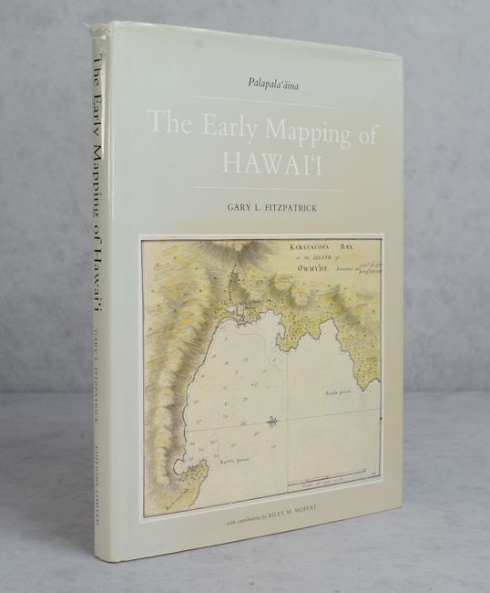
Lot 726
Subject: References, Hawaii
The Early Mapping of Hawai'i Volume I Palapala 'aina, 1986
Size: 10.5 x 14.4 inches (26.7 x 36.6 cm)
Estimate: $70 - $90
NO RESERVE
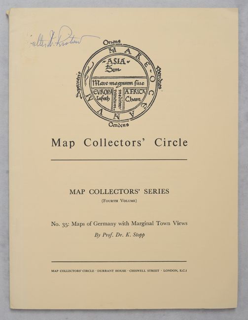
Lot 727
Subject: References, Germany
Map Collectors' Circle - No. 35: Maps of Germany with Marginal Town Views, 1967
Size: 7.3 x 9.8 inches (18.5 x 24.9 cm)
Estimate: $10 - $15
NO RESERVE
Lot 728
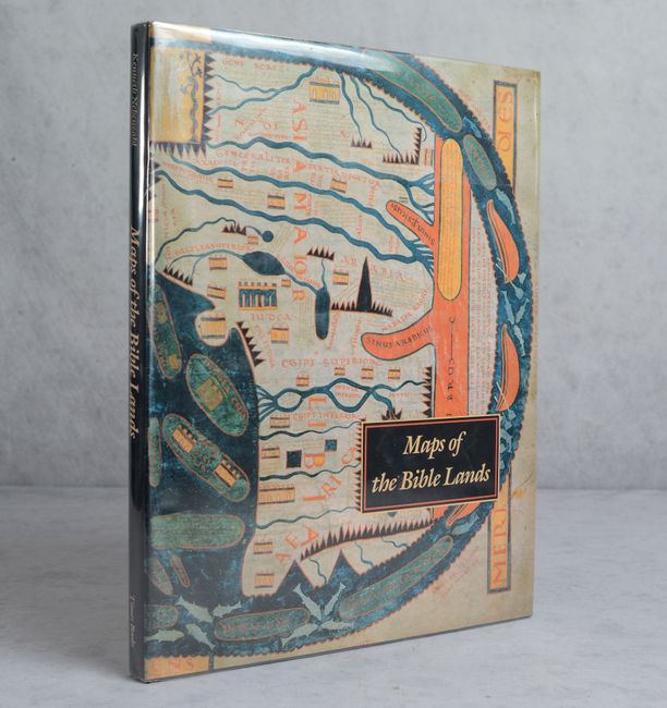
Subject: References, Holy Land
Nebenzahl, Kenneth
Maps of the Bible Lands - Images of Terra Sancta Through Two Millennia, 1986
Size: 12.1 x 15.4 inches (30.7 x 39.1 cm)
Estimate: $60 - $80
NO RESERVE
42 lots