Subject: Geography Books, Texas
Period: 1845 (published)
Publication:
Color: Hand Color
Size:
9.5 x 12.5 inches
24.1 x 31.8 cm
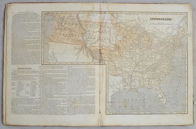
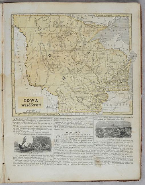
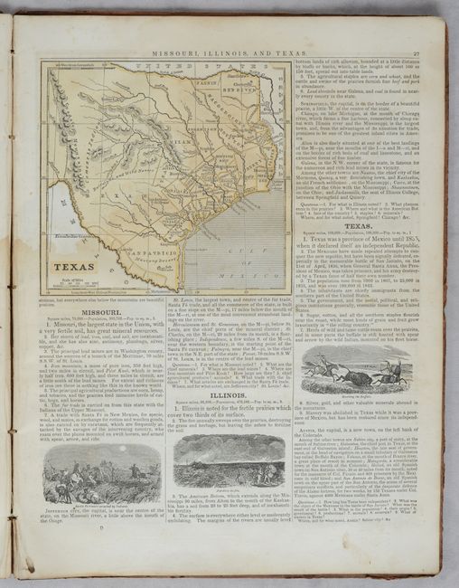
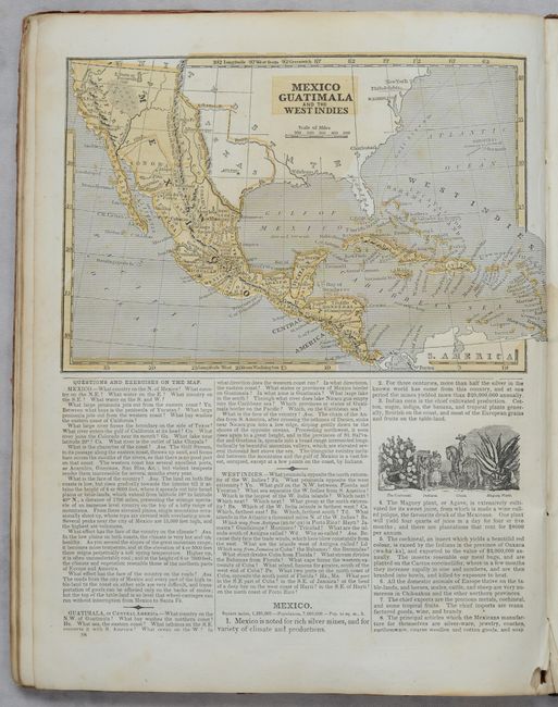
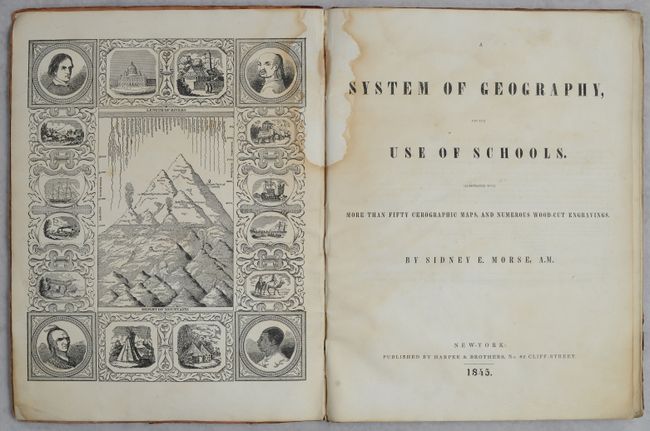
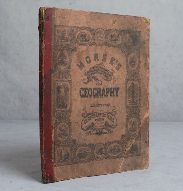
Morse's popular series of geographies, with their easy to read maps and fact-filled text, quickly became a standard for American educators during the early 19th century. This complete 1845 edition is notable as it was only the second edition to use Morse's pioneering cerographic process. It contains a total of 52 wax-engraved maps including a double-page map of the United States that features a large Indian Territory that stretches as far west as the Rocky Mountains, and a large Iowa Territory that includes much of Minnesota and the Dakotas. Four maps feature the Republic of Texas along with a smaller map of Texas that includes a page of descriptive text. Features a nice frontispiece presenting the comparative lengths of rivers and mountains. 72 pages. Hardbound in maroon quarter leather over pictorial paper boards.
References:
Condition: B
Contents are uniformly dampstained except for the upper gutters. Covers are stained, worn, and cracked at bottom. Spine is chipped at top with the front cover a little loose.