Subject: Atlases
Period: 1749 (circa)
Publication:
Color: Hand Color
Size:
6.4 x 8.3 inches
16.3 x 21.1 cm
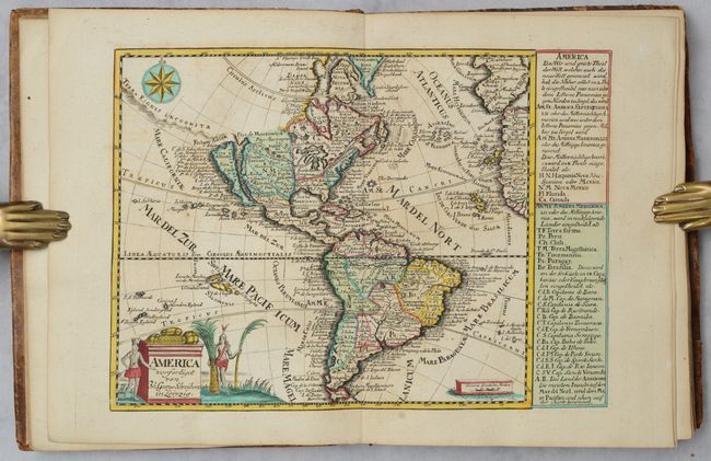
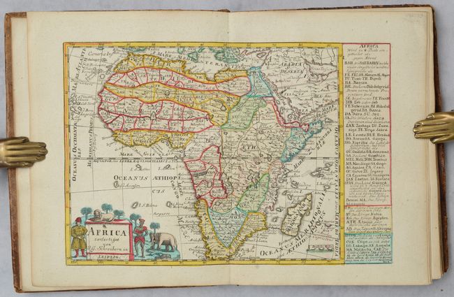
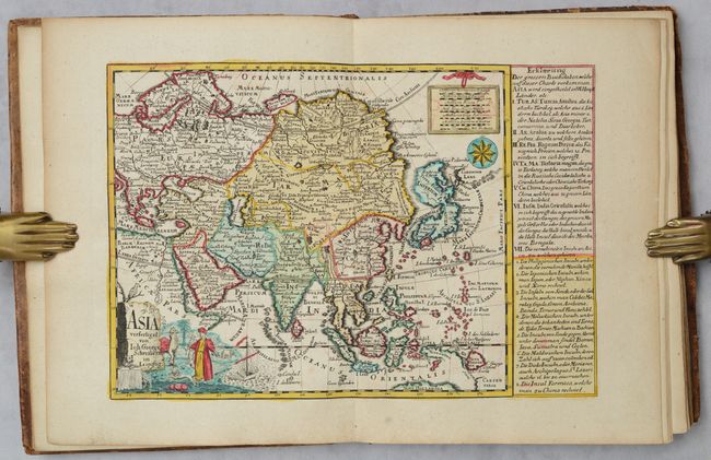
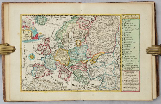
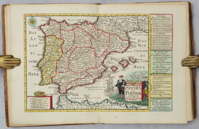
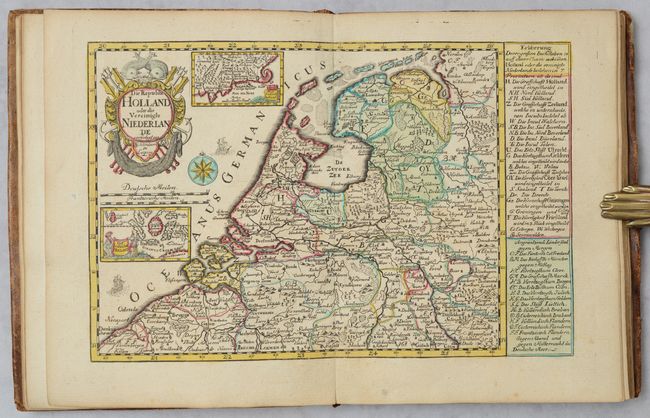
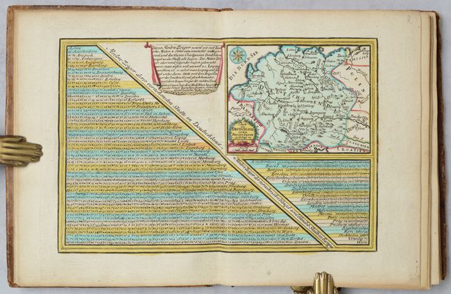
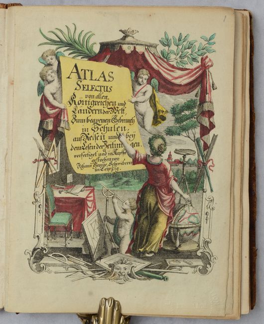
This handsome little atlas is complete with 42 decorative maps in full contemporary color including a double-hemisphere world map, the continents, European countries, regional maps of Germany, Russian Empire and Holy Land. Of particular interest is the map of the Americas with California depicted as an island and the Great Lakes depicted as an amorphous body of water. The Strait of Anian is shown in the Pacific Northwest, separating a large Terra Esonis Incognita from California. Also noteworthy is the world map that is surrounded by engravings of the heavens and natural phenomena such as waterspouts, a rainbow, earthquakes, and a volcano. The map shows a typical 18th century geographical view with an incorrect northwest coastline in North America and partial coastlines for Australia and New Zealand. In addition to the 42 maps, there is an interesting German mileage table with inset map and allegorical title page. Hardbound in contemporary cloth.
References: McLaughlin #233; Phillips (Atlases) #610; cf. Shirley (BL Atlases) T.SCHR-1a.
Condition: B+
Maps have full original color with some occasional minor toning. There are pairs of tiny wormholes along the lower centerfold on maps 28-36. Covers are scuffed and worn. Spine is chipped at the head and tail.