Subject: References, Civil War
Period: 1958-99 (published)
Publication:
Color: Printed Color
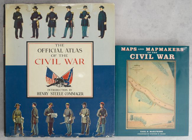
A. The Official Atlas of the Civil War, by Henry Steele Commager, published 1958 (14.4 x 17.6"). This facsimile edition of Atlas to Accompany the Official Records of the Union and Confederate Armies was the first new printing of the atlas since it was originally published by the Government Printing Office between 1891 and 1895. It faithfully reproduces the 175 plates of the original in full color. Historian Henry Steele Commager contributed an introduction to this edition. The book is a wonderful tool for historians, map collectors, and Civil War buffs. Published by Thomas Yoseloff. Hardbound in blue cloth with silver insignia on cover and silver titles on spine, and an illustrated dust jacket. Condition: Contents are good with light toning and minor soiling. There is dampstaining on the cover and dust jacket, and several tears on the dust jacket have been closed with tape. (B)
B. Maps and Mapmakers of the Civil War, by Earl B. McElfresh, published 1999, printed color (9.9 x 12.1"). This is a thorough examination of Civil War maps, mapmaking, and mapmakers and documents the techniques and travails of the mapmaker in the field. Lively anecdotes are retold alongside discussion of the practical effect of the cartographer's art on actual military operations. 272 pp., notes, bibliography, index, 180 illustrations, 150 in full-color, many never before reproduced. Hardbound with illustrated dust jacket. Condition: Contents and covers are clean and tight. (A)
References:
Condition:
See description above.