Subject: Mississippi River, Missouri, Illinois
Period: 1909 (published)
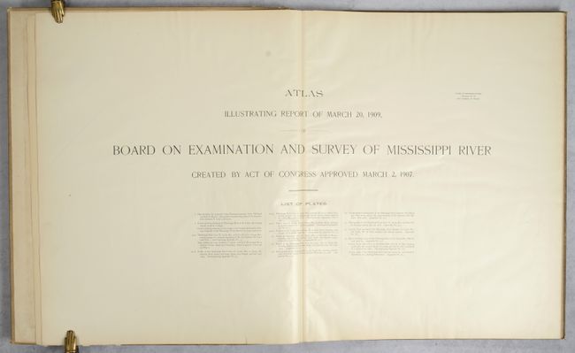
Publication: H.R. Doc. 50, 61st Congress, 1st Session
Color: Printed Color
Size:
22.8 x 36.8 inches
57.9 x 93.5 cm
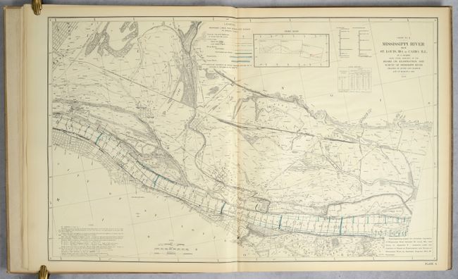
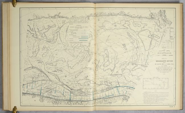
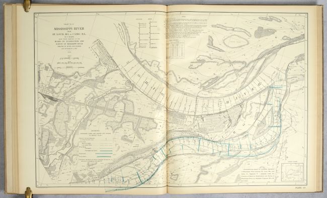
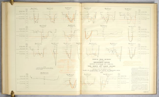
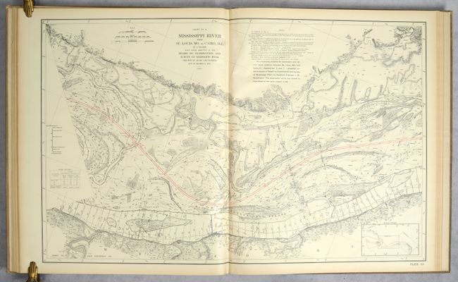
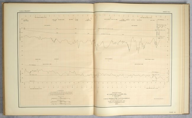
This impressive atlas contains 52 double-page plates related to an examination of the Mississippi River from St. Louis to Cairo, Illinois. It includes 2 sets of 17 plates (34 total) of the "Mississippi River from St. Louis, MO to Cairo, Ill. in 17 charts...1908". The first set shows the various proposed improvements to the river in green overprinting while the second set shows the canal system in red. These detailed charts follow the path of the river and are filled with related information including shore lines, soundings, permanent marks, borings, dikes, revetments, channel distances and more. The remaining plates include related charts and profiles. Double elephant folio (22 x 26"), hardbound in tan cloth. Dimensions refer to the size of the maps. Lithographed by Julius Bien in New York.
References:
Condition: A
Condition code is for the maps and other plates, which are clean and bright with some faint toning along the sheet edges. There are a few short edge tears in the margins and a large chip at bottom of the front free endpaper. Covers are soiled and rubbed along the edges.