Subject: Colorado
Period: 1924 (published)
Publication:
Color: Printed Color
Size:
24.1 x 30.9 inches
61.2 x 78.5 cm
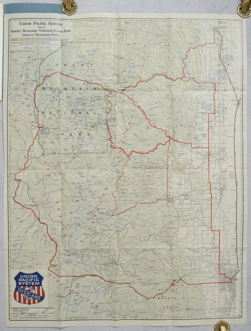
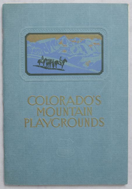
This handsome topographical map of the tourist areas of Colorado focuses on the Rocky Mountains west of and between Denver and Fort Collins. It details the entire Rocky Mountain National Park, plus the Colorado, Arapaho, and Pike National Forests. There is good detail of the cites with streets in grid layout format. The map locates Boulder, Idaho Springs, Golden, Central City, Tolland, Eldora, Nederland, Magnolia, Peaceful Valley, Grand Lake, and Estes Park. It folds into the back cover of a 48-page booklet titled Colorado's Mountain Playgrounds (7.0 x 10.0") which features information for tourists, black & white photographs, and a few small maps, including a map of the Union Pacific System on the last page, opposite the folding map. The booklet has blue cardstock covers with embossing and a printed image of horseback riders standing before the Rockies. The map was also issued separately as a pocket map.
References:
Condition: B+
The map is issued folding with minor offsetting, light toning where the map is pasted to the booklet, and a marginal chip. Text of booklet has light foxing along the edges, and a loose signature in the middle of the book.