Subject: References, 17th-Century Dutch Cartography
Period: 2000 (published)
Publication:
Color: Printed Color
Size:
20.5 x 16.2 inches
52.1 x 41.1 cm
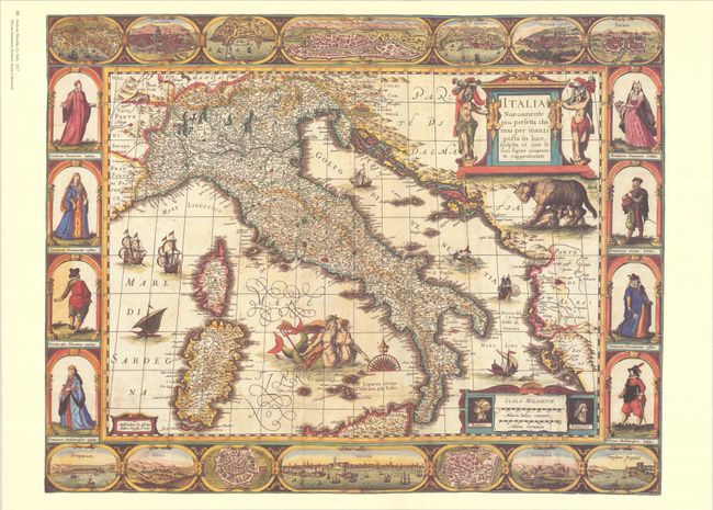
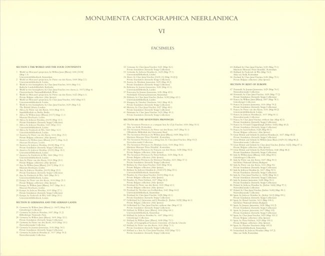
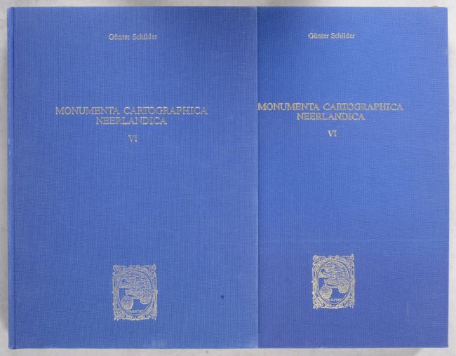
This is the sixth volume in this incredible series on the history of cartography, concentrating on Dutch folio maps with decorative borders (known as carte-a-figures maps) in the period 1600 to 1660. It provides a superb carto-bibliography of the most decorative maps from the Dutch Golden Age. Text volume in both Dutch and English, 452 pp., profusely illustrated, together with the portfolio containing 95 full-size facsimile reproductions. The reproductions are grouped into four categories - The World and the Four Continents; Germania and the German Lands; The Seventeen Provinces; and Rest of Europe - with maps by Blaeu, Jansson, Hondius, Visscher, van der Keere, and more. (For complete listing see images.) Some of the maps are reproduced in lavish full color. Hardbound in blue cloth with gilt embossed titles.
References:
Condition: A
Map facsimiles are crisp impressions on bright sheets. Contents are clean and tight, with a few pages at front and back of volume starting to separate from binding, but still intact. Covers of text volume and portfolio have minor soiling, and there is a short tear on one of the portfolio's cardboard flaps.