Subject: Atlases
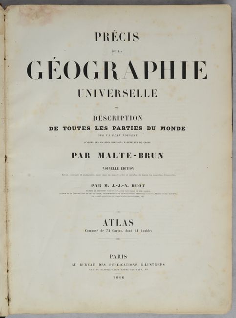
Period: 1846 (published)
Publication:
Color: Hand Color
Size:
11.4 x 15.8 inches
29 x 40.1 cm
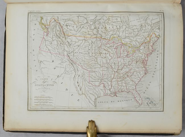
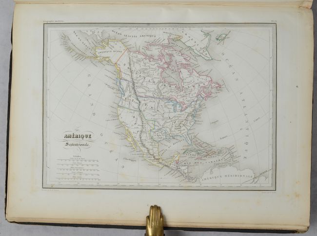
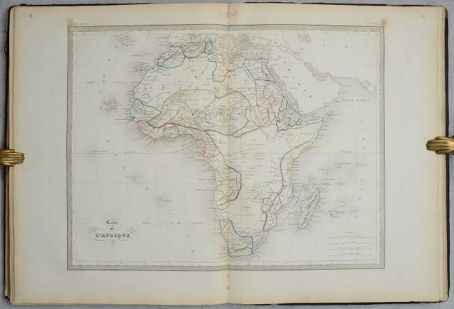
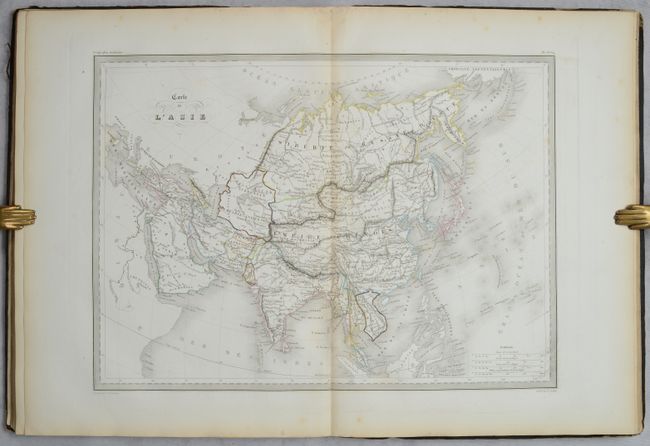
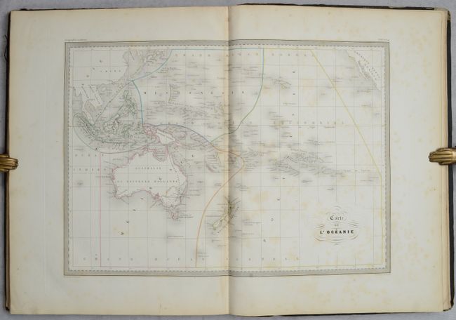
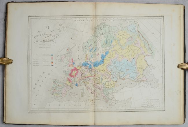
This atlas contains 71 (of 72) maps, comprised of 14 double-page and 57 single-page maps. The missing map is a single-page map of Switzerland (#60). 23 relate to the ancient world, while the remaining 48 focus on the modern world. Within the modern maps there are 2 of the world, 3 of France, 3 geological maps, and 5 related to North America. The map of the United States shows a large Territory of Missouri that extends throughout the Midwest and Pacific Northwest, while Mexico extends to the border of present-day Oregon. While Texas is shown as part of Mexico on this map, it is depicted as the Republic of Texas in the map of North America (both outdated for the publication date). Both maps show the U.S. border extending well into present-day British Columbia, reflecting U.S. interests in the region. Originally published by Malte-Brun, this edition has been updated and revised by Huot to contain "all the new discoveries." Hardbound in brown cloth.
References:
Condition:
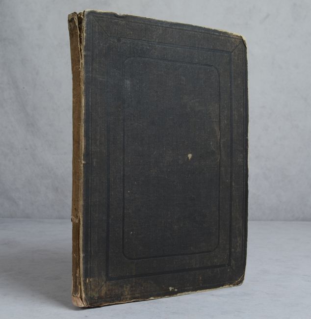
The maps have contemporary outline color and scattered foxing, ranging from good to near fine with the vast majority being very good. The foxing is more pronounced at the beginning and end of the volume including maps of the Ancient World and Australia. There is minor soiling in the blank margins and a bit of dampstaining in the top margin of the first five maps. Covers are worn and stained at top and bottom. Front cover is partially detached and the spine is chipped at top. Maps (B+) / Binding (B)