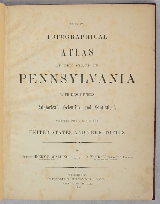
Subject: Pennsylvania, Atlas
Period: 1872 (published)
Publication:
Color: Hand Color
Size:
13.9 x 17.8 inches
35.3 x 45.2 cm
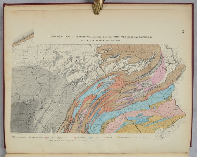
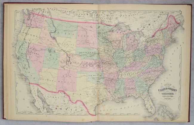
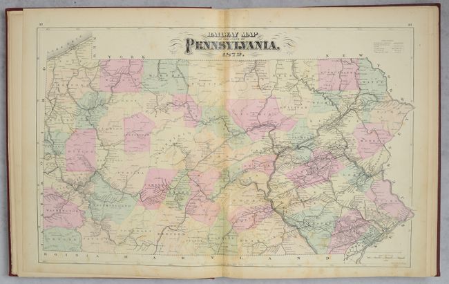
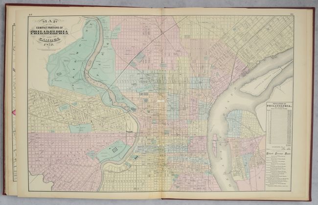
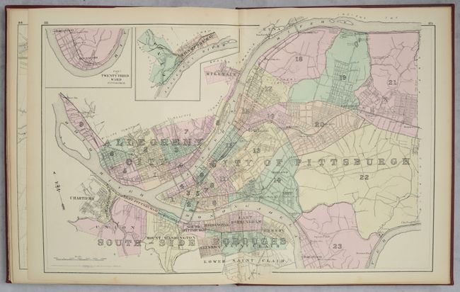
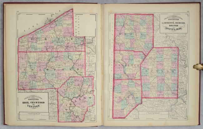
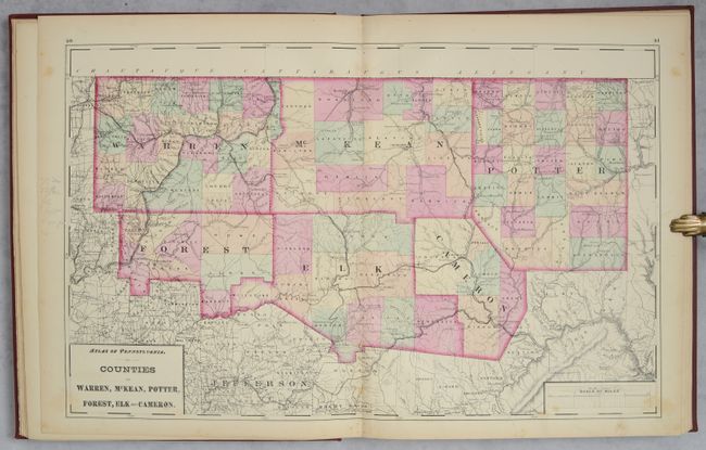
This complete atlas contains 6 double-page and 28 single-page maps of Pennsylvania, covering every county in the state as well as city plans of Philadelphia, Reading, Lancaster and Allentown. Several thematic maps depict the geology, climatology, flora, and mineral deposits throughout the state. The atlas also includes Gray's double-page Map of the United States and Territories. In addition to the maps, there is extensive text on botany, climatology, education, geology, topography, zoology, and the history of the state. The atlas also provides population data from the US censuses of 1860 and 1870 for each county, township and borough in Pennsylvania, as well as an extensive classified section of businesses in each county and the cities of Philadelphia and Pittsburgh. Rebound in maroon cloth with gilt title on the spine.
References:
Condition:
The maps are mostly very good (B+) to near fine (A) with occasional scattered foxing and light toning and soiling along the sheet edges. The Philadelphia map is good (B) with a few small abrasions along the centerfold. The Pennsylvania map and two county maps have archival reinforcement along both sides of the centerfold on recto to reinforce and repair some short centerfold separations (all three are C+ condition due to visual impact as opposed to faults). The title page has archival reinforcement along the left side on recto, and a few marginal edge tears in the text are repaired on both sides of the sheet. Modern binding has light wear and a scratch on the rear cover.