Subject: References, North America
Period: 1980-92 (published)
Publication:
Color: Printed Color
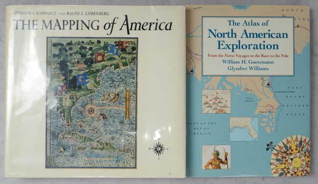
A. The Mapping of America, by Schwartz & Ehrenberg, published 1980 (11.8 x 10.9"). A significant reference book that presents a detailed, analytic history of the mapping of North America, emphasizing the area that comprises the United States. Two major periods are covered; the first extending from 1500 to 1800 and the second from 1800 to the present. Illustrated with 223 plates, 84 in full color, 363 pages, index. Hardbound in white cloth with illustrated dust jacket protected by Mylar. An often quoted reference work. Condition: Contents are near fine. Covers are lightly soiled along the edges, and the dust jacket is lightly sunned and soiled. (B+)
B. The Atlas of North American Exploration from the Norse Voyages to the Race to the Pole, by William H. Goetzmann & Glyndwr Williams, published 1992 (8.6 x 11.4"). This fascinating book by William H. Goetzmann and Glyndwr Williams covers the history of North American exploration, spanning from the early Norse voyages to the race to the North Pole in the early 20th century. The book is illustrated with more than 100 original maps charting the routes of explorers such as Ponce de Leon, Hernando de Soto, Vitus Bering, Lewis and Clark, and more. It also features an introductory essay by David Beers Quinn. 224 pages. Hardbound in blue cloth with gilt title on spine and an illustrated dust jacket. Condition: Contents and covers are near fine. Dust jacket has a couple of short tears. (A)
References:
Condition:
See description above.