Subject: References, Cornelis Claesz
Period: 2003 (published)
Publication:
Color: Black & White
Size:
20.5 x 16.2 inches
52.1 x 41.1 cm
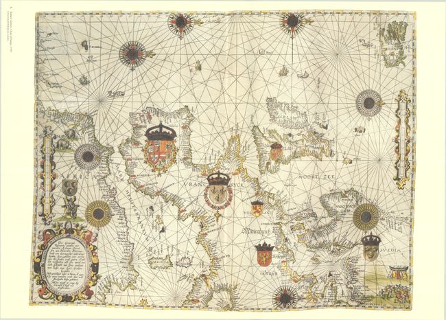
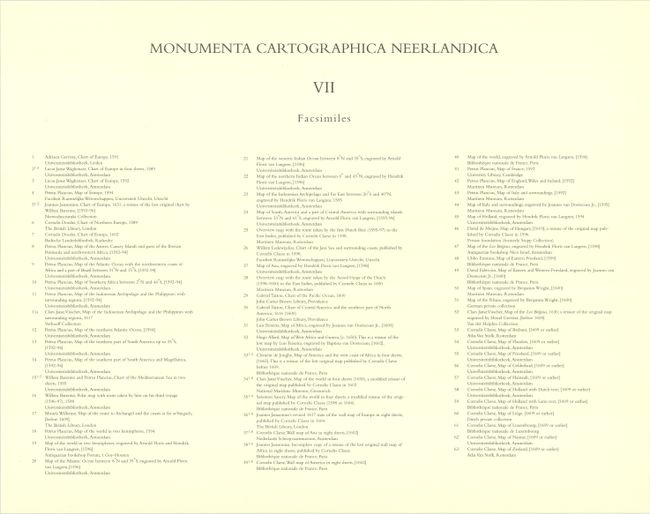
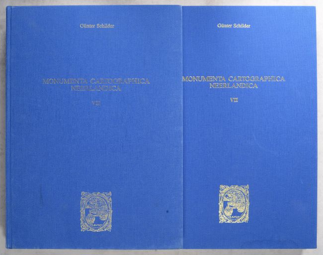
This is the seventh volume in this incredible series on the history of cartography. The seventh volume focuses on the work of publisher Cornelis Claesz (ca. 1551-1609), "stimulator and driving force of Dutch cartography." Text volume is in both Dutch and English, 556 pp. and profusely illustrated, and is accompanied by the portfolio containing 63 full-size facsimile reproductions on 108 sheets. Among the maps reproduced in the folio are Adriaen Gerritsz's chart of Europe, Lucas Jansz Waghenaer's four-sheet chart of Europe, Petrus Plancius's map of Southeast Asia, Willem Barentsz's polar map, Arnold Floris and Hendrik Floris van Langren's double-hemisphere world map, an incomplete copy of Joannes Jansson's eight-sheet wall map of Africa, Cornelis Claesz's eight-sheet wall map of America, Claes Jansz Visscher's Leo Belgicus, and more. (See images for a complete listing.) Hardbound in blue cloth with gilt embossed titles.
References:
Condition: B+
Map facsimiles are crisp impressions on bright sheets. Text is clean and tight. Covers of text volume and portfolio have minor soiling, and there is light dampstaining along the bottom edge of the portfolio that does not impact the facsimiles.