Subject: References, North America
Period: 1988 (published)
Publication:
Color: Black & White
Size:
7.4 x 10.1 inches
18.8 x 25.7 cm
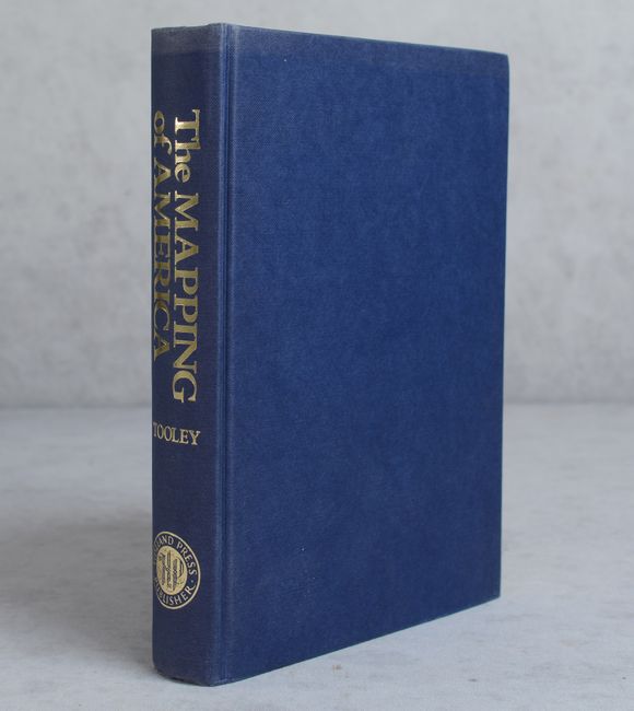
An excellent reference work detailing the cartographic history of North America. There are essays on French mapping of the Americas, California as an island, Smith's map of Virginia and its many derivatives, marine surveys of James Cook, City Plans, Jansson-Visscher maps of New England, mapping the Great Lakes, maps of America in various editions of Ortelius' Theatrum, and more. Volume 2 in the Holland Press Cartographia series, 519 pages, with 179 uncolored illustrations. Hardbound in blue buckram with gilt titles on spine.
References:
Condition: A
Text is near fine with a few minor spots. Top edge of the covers is faintly sunned.