Subject: Geography Books
Period: 1817 (published)
Publication:
Color: Hand Color
Size:
5.1 x 8.4 inches
13 x 21.3 cm
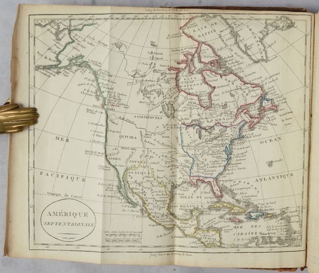
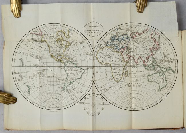
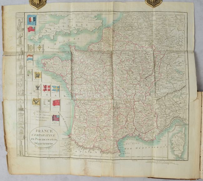
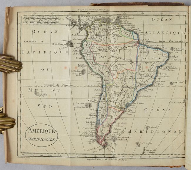
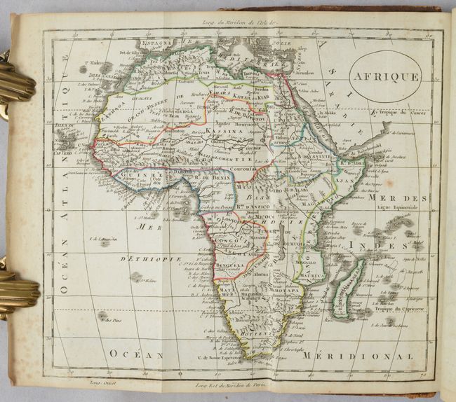
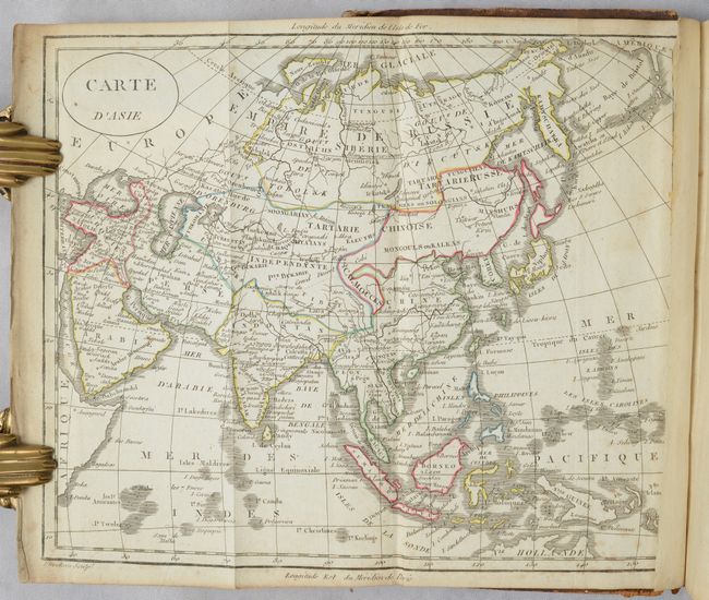
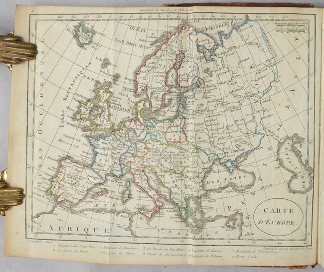
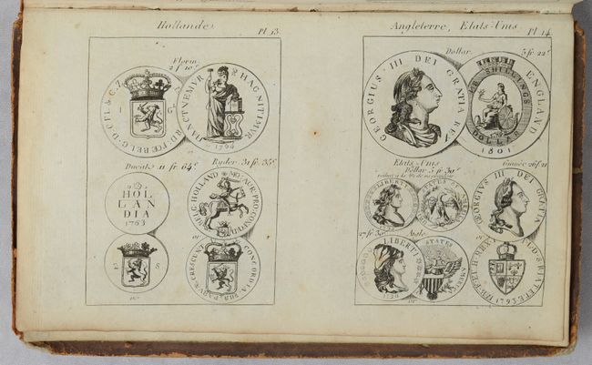
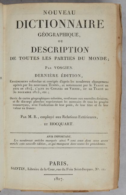
This geographic dictionary includes 7 folding maps of the world and continents, plus France. On the world map (13.6 x 8"), Tasmania is still shown attached to Australia, and the Mississippi River extends too far to the west, likely confusing it with the Arkansas or Missouri Rivers. This error is not carried over on the North American map (8.7 x 7.3"), where all three rivers are fairly well delineated, however a River of the West nearly connects the Pacific Ocean with Lake Winnipeg. The United States is still shown confined east of the Mississippi River. The map of France (16 x 13.5") is divided into departments and includes a small inset of Corsica. The Atlantic Ocean is filled with the flags of various nations, including that of the United States shown as the 13-star Betsy Ross flag, albeit with 12 stars and 14 stripes, incorrectly colored in red and blue instead of red and white. Flanking the map at left are images from the ancient Gauls, including traditional costumes, statues, and weapons. Also included in the volume are 16 plates on 8 pages depicting coins from various nations, such as the 1795 US liberty coin.
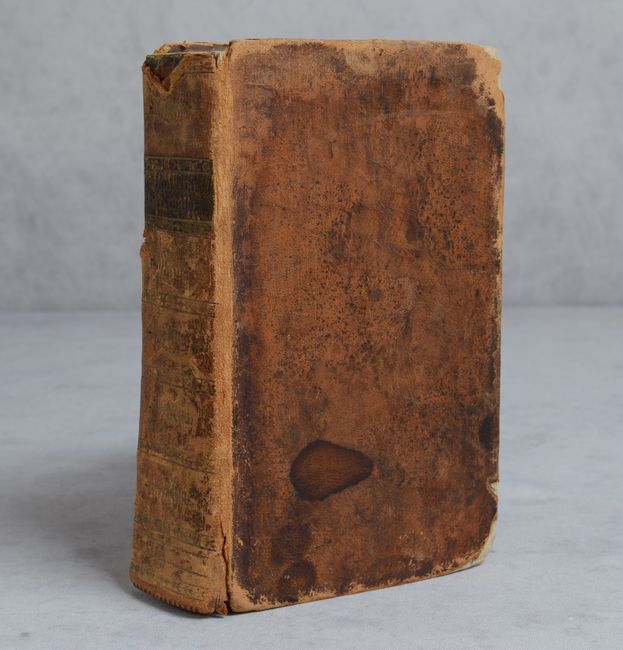
The geographic dictionaries by Vosgien were a popular series that was reprinted in numerous editions from the late 18th to mid-nineteenth centuries. The text and maps were updated by various editors; this edition was revised by "M.B." and Hocquart and printed by Saintin. Although there were many more editions published after this example, it is noted on the title page as the "final" edition. Small Octavo. 682 pp.; 15 pp.; 7 folding maps; 16 half-page plates of coins from different countries around the world. Hardbound in full contemporary leather with gilt embossing and a brown leather title label on spine.
References:
Condition: B+
Maps are generally clean, crisp impressions in very good to fine condition, with original outline color, some mis-folds, and a few occasional spots of foxing. The French map is on thinner paper, with a couple of fold separations and a long tear that has been repaired on verso. Text is age toned with a little scattered foxing. The leather binding is very rubbed with bumped corners on the covers and the spine partially detached.