Filtered by Category:United States(Show All Categories)
Showing results for:Auction 134
Catalog Archive
172 lots
Page 1 of 4
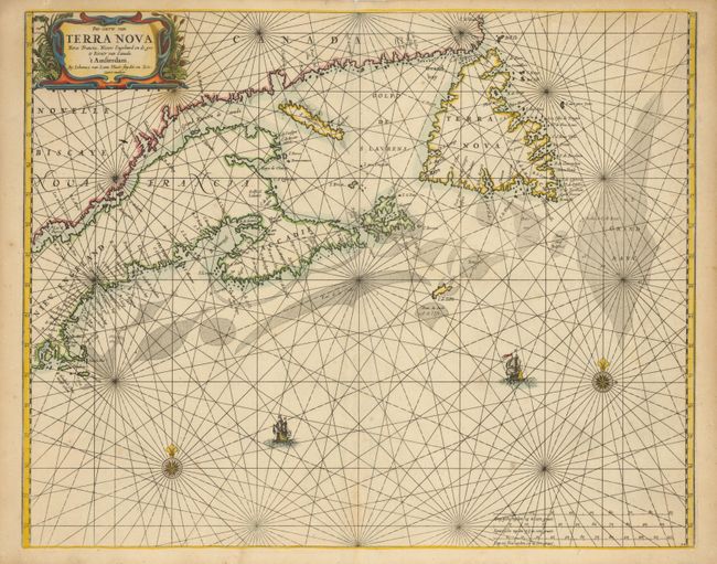
Auction 134, Lot 126
Subject: Canadian Maritimes and New England
Loon, Jan van
Pas-caerte van Terra Nova, Nova Francia, Nieuw Engeland en de Grote Rivier van Canada, 1666
Size: 21.2 x 17 inches (53.8 x 43.2 cm)
Estimate: $5,000 - $6,000
Unsold
Closed on 12/1/2010
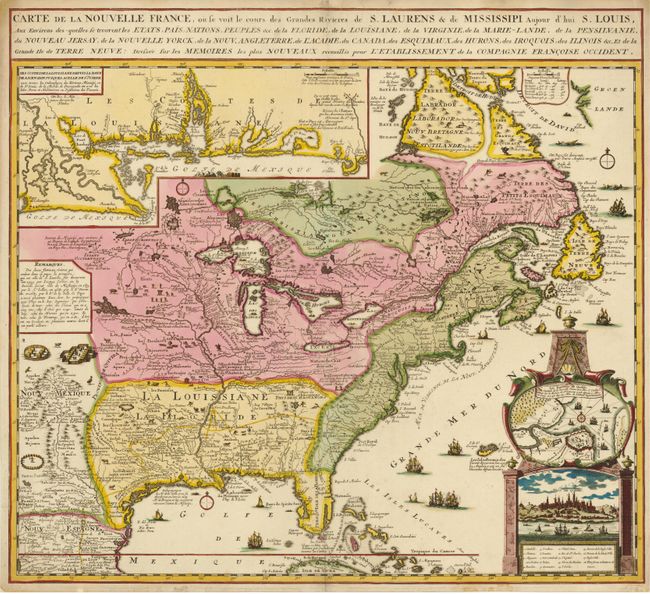
Auction 134, Lot 127
Subject: Colonial United States and Canada
Fer, Nicolas de
Carte de la Nouvelle France, ou se voit le cours des Grandes Rivieres de S. Laurens & de Mississipi, Aujour d'hui S. Louis…, 1719
Size: 21.7 x 19.6 inches (55.1 x 49.8 cm)
Estimate: $2,500 - $3,000
Sold for: $2,100
Closed on 12/1/2010
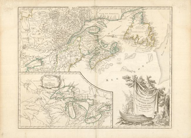
Auction 134, Lot 128
Subject: Canada and Great Lakes
Robert de Vaugondy, Didier
Partie de l'Amerique Septent? qui comprend la Nouvelle France ou le Canada, 1755
Size: 23.8 x 17.8 inches (60.5 x 45.2 cm)
Estimate: $700 - $800
Unsold
Closed on 12/1/2010
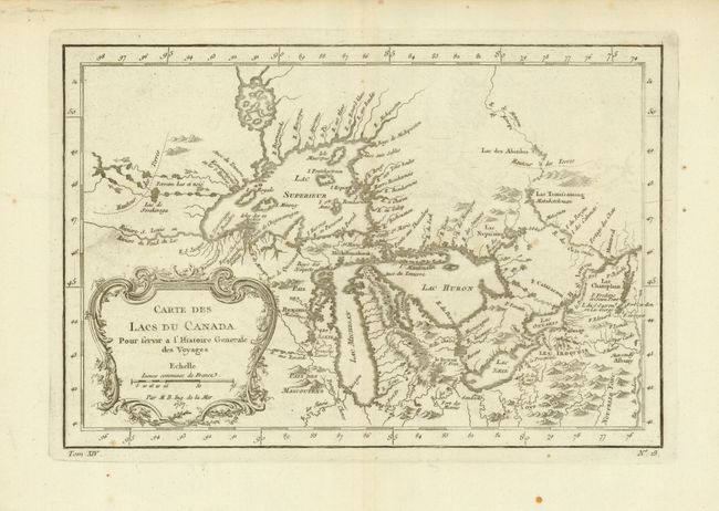
Auction 134, Lot 129
Subject: Canada and Great Lakes
Bellin, Jacques Nicolas
Carte des Lacs du Canada…, 1757
Size: 11.4 x 7.6 inches (29 x 19.3 cm)
Estimate: $400 - $450
Sold for: $300
Closed on 12/1/2010
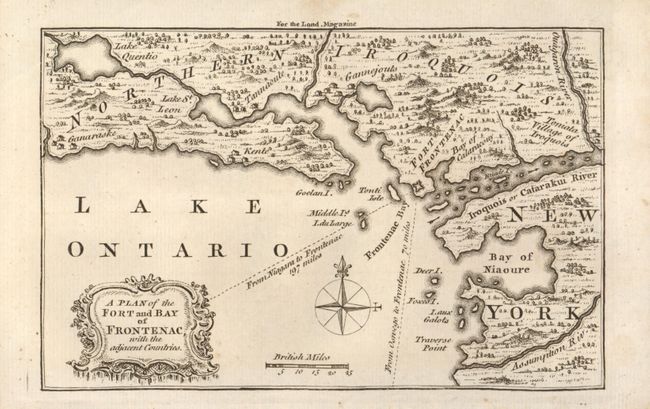
Auction 134, Lot 130
Subject: Colonial New York & Ontario
Kitchin, Thomas
A Plan of the Fort and Bay of Frontenac with the adjacent Countries, 1758
Size: 7 x 4.5 inches (17.8 x 11.4 cm)
Estimate: $150 - $200
Sold for: $110
Closed on 12/1/2010
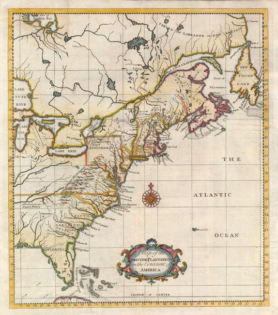
Auction 134, Lot 131
Subject: Colonial Canada & United States
Salmon, Thomas
A Map of the Brittish-Plantations on the Continent of America, 1760
Size: 11.8 x 13.5 inches (30 x 34.3 cm)
Estimate: $375 - $450
Sold for: $425
Closed on 12/1/2010
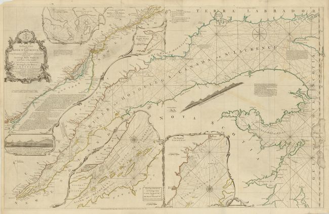
Auction 134, Lot 132
Subject: Colonial United States and Canada
Jefferys/Sayer & Bennett
An Exact Chart of the River St. Laurence, from Fort Frontenac to the Island of Anticosti Shewing the Soundings, Rocks, Shoals, &c. with Views of the Lands and All Necessary Instructions for Navigating that River to Quebec, 1775
Size: 37.3 x 23.4 inches (94.7 x 59.4 cm)
Estimate: $950 - $1,100
Sold for: $800
Closed on 12/1/2010
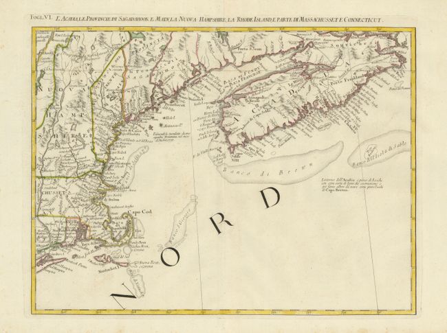
Auction 134, Lot 133
Subject: Colonial United States and Canada
Zatta, Antonio
L'Acadia, le Provincie di Sagadahook e Main, la Nuova Hampshire, la Rhode Island, e Parte di Massachusset e Connecticut, 1778
Size: 16.7 x 12.5 inches (42.4 x 31.8 cm)
Estimate: $300 - $400
Sold for: $220
Closed on 12/1/2010
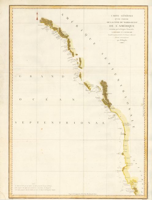
Auction 134, Lot 134
Subject: Western Canada & United States
La Perouse, Comte Jean F. Galoup, de
Carte Generale d'une Partie de la Cote du Nord-Ouest de l'Amerique reconnue par les Fregates Francaises la Boussole et l'Astrolabe, 1797
Size: 19.5 x 27 inches (49.5 x 68.6 cm)
Estimate: $250 - $300
Sold for: $275
Closed on 12/1/2010
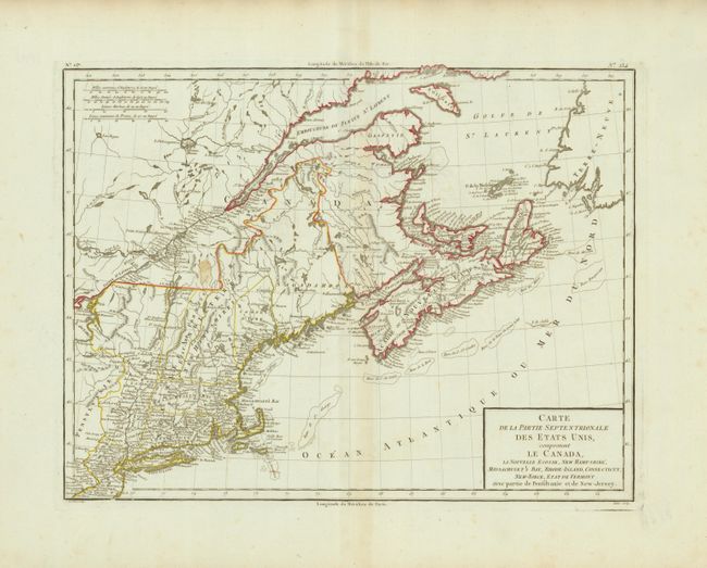
Auction 134, Lot 135
Subject: Eastern Canada & New England
Tardieu, Pierre Francois
Carte de la Partie Septentrionale des Etats Unis, comprenant le Canada, La Nouvelle Ecosse, New Hampshire, Massachuset's Bay, Rhode-Island, Connecticut, New-Yorck, Etat de Vermont avec partie de Pensilvanie et de New-Jersey, 1797
Size: 16.5 x 12.7 inches (41.9 x 32.3 cm)
Estimate: $300 - $400
Sold for: $190
Closed on 12/1/2010
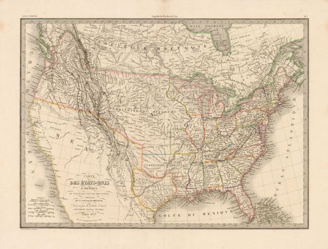
Auction 134, Lot 136
Subject: Canada & United States, Texas
Lapie, Alexander Emile & Pierre
Carte des Etats-Unis d'Amerique, du Canada, du Nouveau Brunswick et d'une partie de la Nouvelle Bretagne, 1837
Size: 21.3 x 15.5 inches (54.1 x 39.4 cm)
Estimate: $300 - $400
Sold for: $230
Closed on 12/1/2010
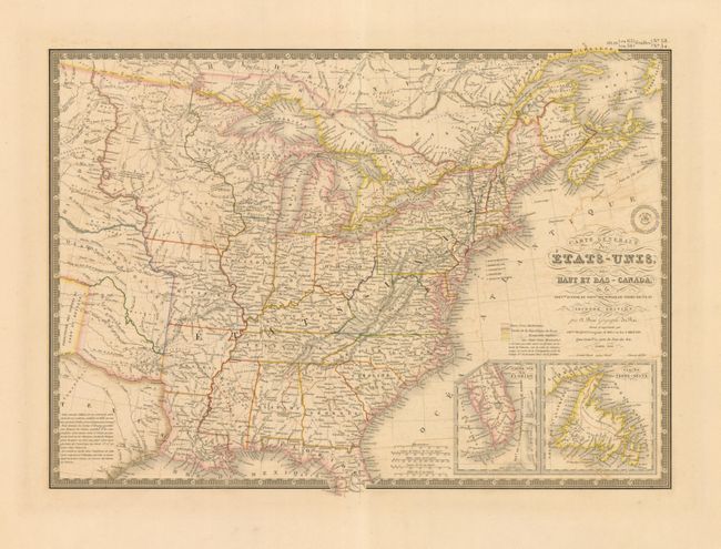
Auction 134, Lot 137
Subject: Canada & United States, Texas
Brue, Adrien Hubert
Carte Generale des Etats-Unis, des Haut et Bas-Canada…, 1840
Size: 20.3 x 14.5 inches (51.6 x 36.8 cm)
Estimate: $160 - $200
Sold for: $120
Closed on 12/1/2010
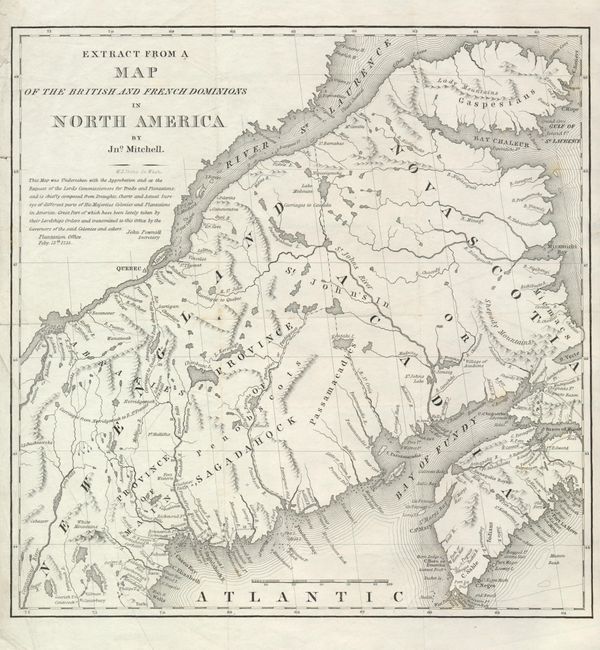
Auction 134, Lot 138
Subject: Canada & Maine
U.S. Government
Extract from a Map of the British and French Dominions in North America by Jno. Mitchell, 1843
Size: 13 x 13.3 inches (33 x 33.8 cm)
Estimate: $110 - $150
Sold for: $180
Closed on 12/1/2010
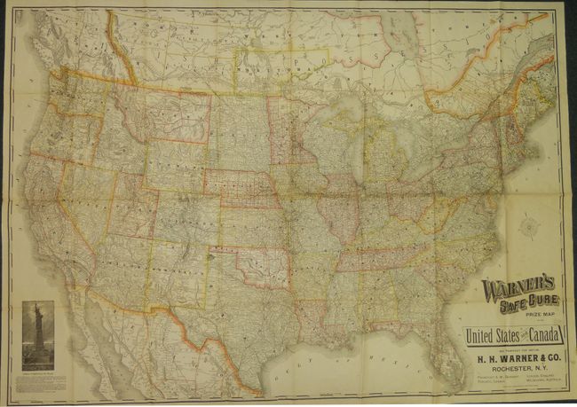
Auction 134, Lot 139
Subject: United States & Canada
Rand McNally & Co.
Warner's Safe Cure Prize Map of the United States and Canada, 1887
Size: 53 x 38 inches (134.6 x 96.5 cm)
Estimate: $300 - $350
Sold for: $220
Closed on 12/1/2010
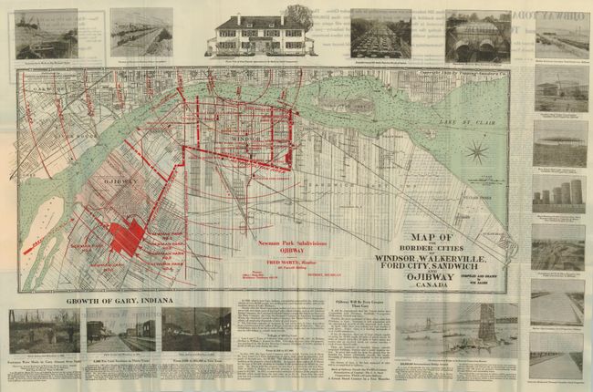
Auction 134, Lot 140
Subject: Canada & United States, Detroit
[Lot of 4 - Pocket Maps of Canada and Detroit], 1902-1920
Size: See Description
Estimate: $100 - $160
Unsold
Closed on 12/1/2010
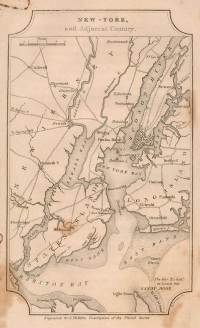
Auction 134, Lot 141
Subject: Cities of the United States
Melish, John
[Lot of 8 - City Maps], 1822
Size: 4 x 6.5 inches (10.2 x 16.5 cm)
Estimate: $350 - $450
Sold for: $900
Closed on 12/1/2010
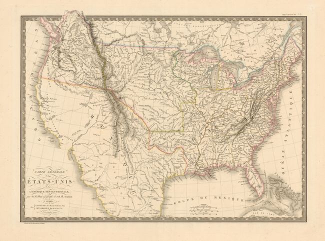
Auction 134, Lot 142
Subject: United States
Brue, Adrien Hubert
Carte Generale des Etats-Unis de l'Amerique Septentrionale, 1820
Size: 19.7 x 14.2 inches (50 x 36.1 cm)
Estimate: $375 - $450
Sold for: $200
Closed on 12/1/2010
Auction 134, Lot 143
Subject: United States
Burr, David H.
Map of the United States Exhibiting the Several Collection Districts, 1854
Size: 48.6 x 31 inches (123.4 x 78.7 cm)
Estimate: $250 - $300
Sold for: $190
Closed on 12/1/2010
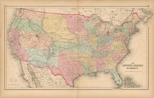
Auction 134, Lot 144
Subject: United States
Colton, Joseph Hutchins
The United States of America, 1859
Size: 26 x 15 inches (66 x 38.1 cm)
Estimate: $200 - $250
Sold for: $160
Closed on 12/1/2010
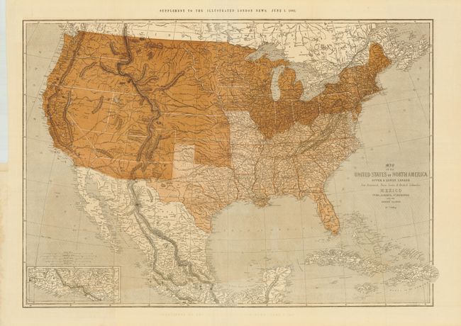
Auction 134, Lot 145
Subject: United States
Ettling, Theodor
Map of the United States of North America, Upper & Lower Canada New Brunswick, Nova Scotia & British Columbia. Mexico Cuba, Jamaica, St. Domingo and the Bahama Islands, 1861
Size: 37.5 x 25.8 inches (95.3 x 65.5 cm)
Estimate: $400 - $500
Sold for: $375
Closed on 12/1/2010
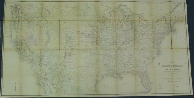
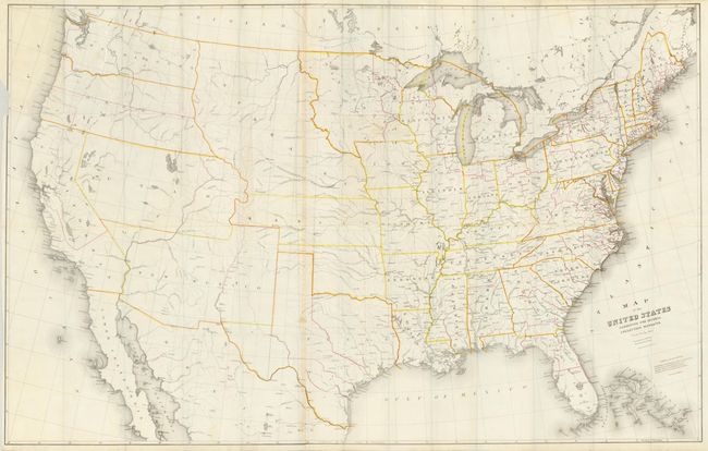
Auction 134, Lot 146
Subject: United States
General Land Office
Map of the United States and Territories Showing the extent of Public Surveys and other details constructed from the Plats and official sources of the General Land Office…, 1867
Size: 55 x 28 inches (139.7 x 71.1 cm)
Estimate: $300 - $400
Sold for: $200
Closed on 12/1/2010
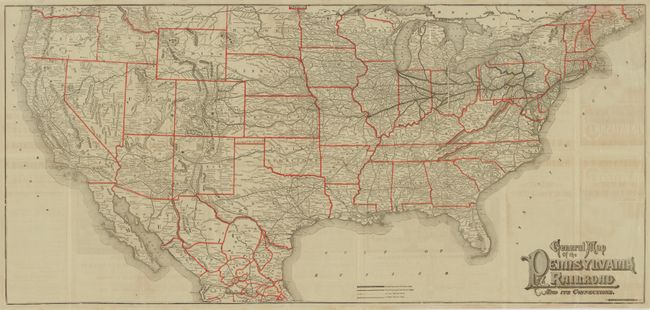
Auction 134, Lot 147
Subject: United States
Railroad Companies, (Various)
General Map of the Pennsylvania Railroad and its Connections, 1884
Size: 35 x 16.3 inches (88.9 x 41.4 cm)
Estimate: $120 - $180
Sold for: $190
Closed on 12/1/2010
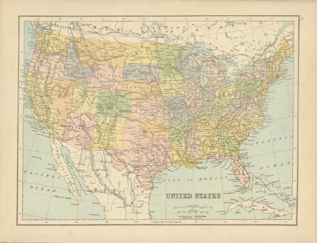
Auction 134, Lot 148
Subject: United States
Anon.
United States, 1888
Size: 15.7 x 11.7 inches (39.9 x 29.7 cm)
Estimate: $150 - $200
Sold for: $100
Closed on 12/1/2010
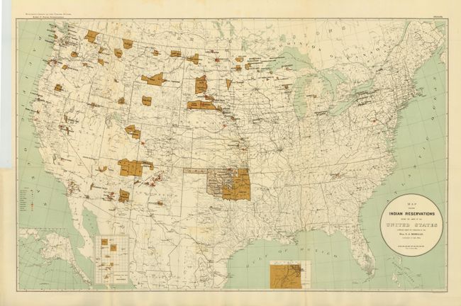
Auction 134, Lot 149
Subject: United States
U.S. Government
[Lot of 2] Map Showing Indian Reservations within the Limits of the United States ... [and] Map of Linguistic Stocks of American Indians chiefly within the Present Limits of the United States, 1890-1894
Size: See Description
Estimate: $325 - $375
Unsold
Closed on 12/1/2010
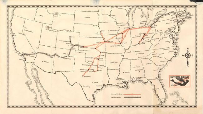
Auction 134, Lot 150
Subject: United States
Universal Air Lines System. Man's Desire to fly is Universal - Travel by Air, 1929
Size: 15 x 8 inches (38.1 x 20.3 cm)
Estimate: $180 - $220
Sold for: $100
Closed on 12/1/2010
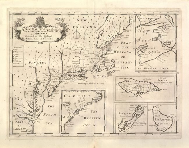
Auction 134, Lot 151
Subject: Colonial United States
Wells, Edward
A New Map of the Most Considerable Plantations of the English in America, 1700
Size: 18.8 x 13.8 inches (47.8 x 35.1 cm)
Estimate: $1,200 - $1,800
Sold for: $700
Closed on 12/1/2010
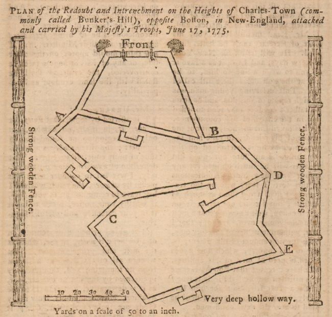
Auction 134, Lot 152
Subject: Colonial United States
[Lot of 7 - Revolutionary War and Colonial Maps], 1775
Size: See Description
Estimate: $350 - $450
Sold for: $750
Closed on 12/1/2010

Auction 134, Lot 153
Subject: Eastern United States, Franklinia
Gussefeld, Franz Ludwig
Charte der XV Vereinigten Staaten von Nord-America…, 1800
Size: 20.5 x 18.3 inches (52.1 x 46.5 cm)
Estimate: $1,200 - $1,400
Sold for: $1,200
Closed on 12/1/2010
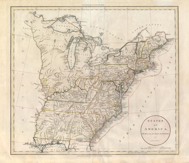
Auction 134, Lot 154
Subject: Eastern United States
Russell, John C.
States of America, Drawn from the Best Authorities, 1801
Size: 17.7 x 15.6 inches (45 x 39.6 cm)
Estimate: $450 - $550
Sold for: $475
Closed on 12/1/2010
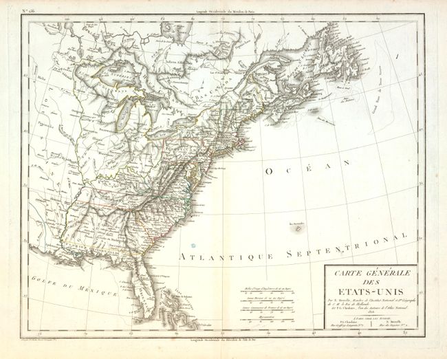
Auction 134, Lot 155
Subject: Eastern United States
Tardieu, Antonie Francois
Carte Generale des Etats-Unis, 1806
Size: 18.7 x 14.8 inches (47.5 x 37.6 cm)
Estimate: $250 - $350
Sold for: $150
Closed on 12/1/2010
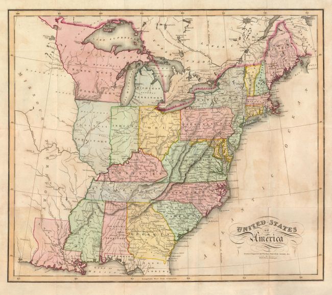
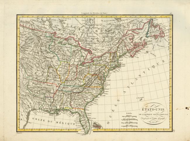
Auction 134, Lot 156
Subject: Eastern United States
Lizars, Daniel
United States of America, 1819
Size: 17.8 x 15.3 inches (45.2 x 38.9 cm)
Estimate: $200 - $250
Sold for: $240
Closed on 12/1/2010
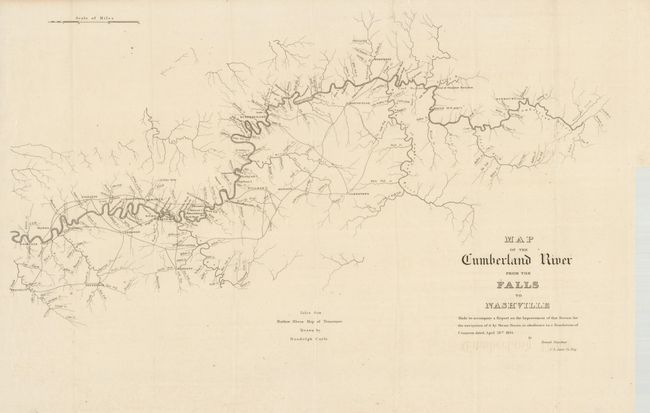
Auction 134, Lot 157
Subject: Eastern United States, Tennessee, Ohio and Pennsylvania
U.S. War Department
[Lot of 2] Map of the Cumberland River from the Falls to Nashville [and] Map and Profiles of the Pennsylvania and Ohio Canal, 1828-1834
Size: See Description
Estimate: $180 - $220
Sold for: $140
Closed on 12/1/2010
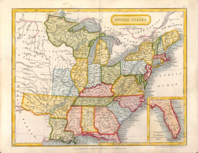
Auction 134, Lot 158
Subject: Eastern United States
Hall, Sidney
United States, 1829
Size: 9.2 x 7.2 inches (23.4 x 18.3 cm)
Estimate: $140 - $170
Sold for: $100
Closed on 12/1/2010
Auction 134, Lot 159
Subject: Eastern United States
Lapie, Alexander Emile & Pierre
Etats-Unis de l'Amerique Septentrionale, 1830
Size: 11.7 x 8.8 inches (29.7 x 22.4 cm)
Estimate: $180 - $220
Unsold
Closed on 12/1/2010
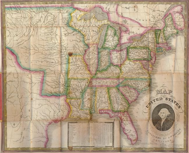
Auction 134, Lot 160
Subject: Eastern United States
Phelps, Humphrey
Map of the United States, 1835
Size: 19.5 x 16 inches (49.5 x 40.6 cm)
Estimate: $500 - $600
Sold for: $350
Closed on 12/1/2010
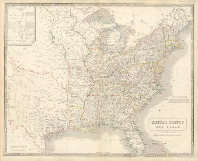
Auction 134, Lot 161
Subject: Eastern United States, Texas
Johnston, Alexander K.
United States and Texas, 1843
Size: 24.3 x 19.8 inches (61.7 x 50.3 cm)
Estimate: $1,000 - $1,200
Sold for: $850
Closed on 12/1/2010
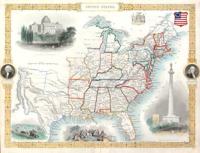
Auction 134, Lot 162
Subject: Eastern United States, Texas
Tallis, John
United States, 1851
Size: 13.5 x 9.7 inches (34.3 x 24.6 cm)
Estimate: $200 - $300
Sold for: $230
Closed on 12/1/2010
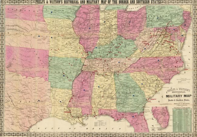
Auction 134, Lot 163
Subject: Eastern United States, Civil War
Phelps & Watson
Phelps & Watson's Historical and Military Map of the Border & Southern States, 1864
Size: 35.6 x 25 inches (90.4 x 63.5 cm)
Estimate: $600 - $800
Sold for: $450
Closed on 12/1/2010
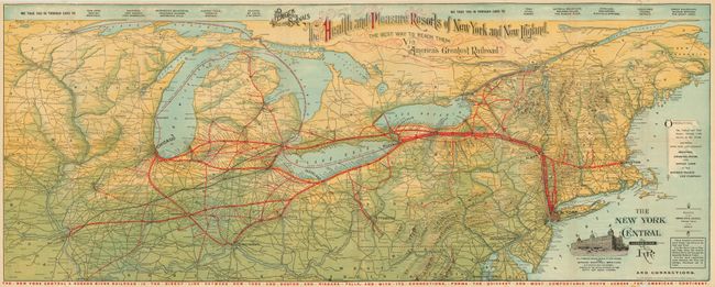
Auction 134, Lot 164
Subject: Northeastern United States
Railroad Companies, (Various)
The New York Central & Hudson River RR and Connections / The Health and Pleasure Resorts of New York and New England…, 1899
Size: 39 x 15.5 inches (99.1 x 39.4 cm)
Estimate: $140 - $180
Sold for: $70
Closed on 12/1/2010
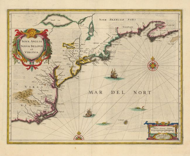
Auction 134, Lot 165
Subject: Colonial New England and Mid-Atlantic
Jansson, Jan
Nova Anglia Novum Belgium et Virginia, 1636
Size: 19.7 x 15.2 inches (50 x 38.6 cm)
Estimate: $2,300 - $3,000
Sold for: $2,300
Closed on 12/1/2010
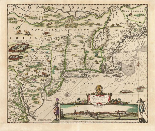
Auction 134, Lot 166
Subject: Colonial New England and Mid Atlantic
Danckerts, Justus
Novi Belgii Novaeque Angliae nec non Pennsylvaniae et Partis Virginiae Tabula, 1684
Size: 21.8 x 18.4 inches (55.4 x 46.7 cm)
Estimate: $5,000 - $6,500
Sold for: $5,000
Closed on 12/1/2010
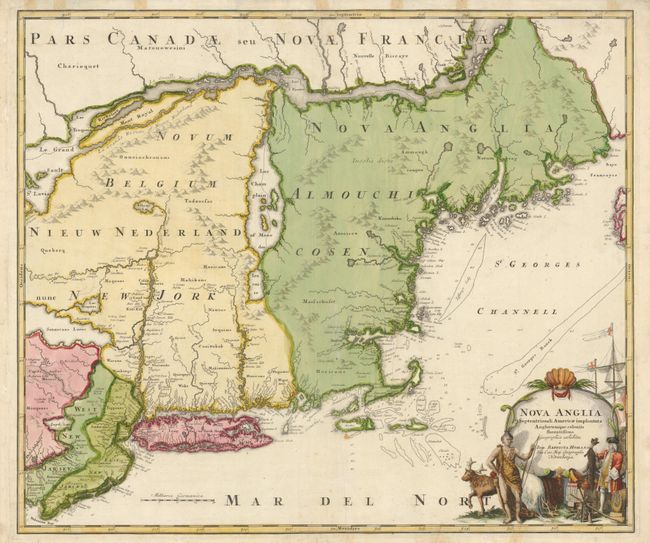
Auction 134, Lot 167
Subject: Colonial New England and Mid-Atlantic
Homann, Johann Baptist
Nova Anglia Septentrionali Americae implantata Anglorumque coloniis florentissima, 1729
Size: 22.4 x 19 inches (56.9 x 48.3 cm)
Estimate: $1,100 - $1,400
Sold for: $800
Closed on 12/1/2010

Auction 134, Lot 168
Subject: Colonial New England and Mid-Atlantic
Seutter, Matthias
Recens Edita totius Novi Belgii, in America Septentrionali siti, delineatio cura et Sumtibus, 1730
Size: 22.7 x 19.5 inches (57.7 x 49.5 cm)
Estimate: $4,000 - $5,000
Sold for: $2,600
Closed on 12/1/2010
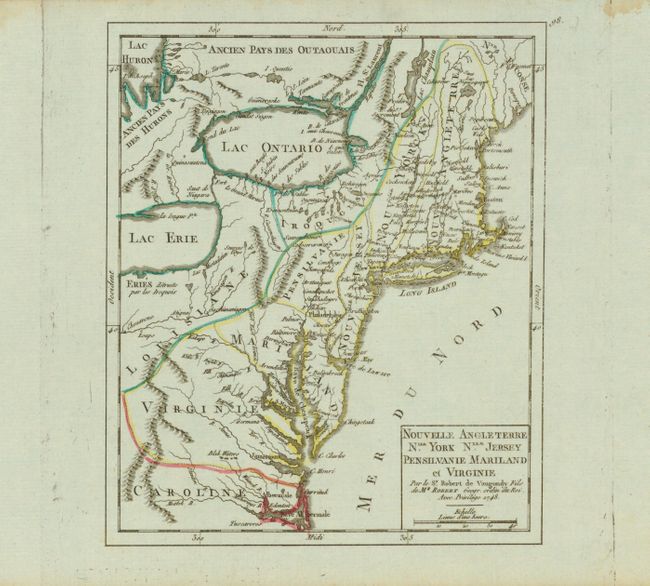
Auction 134, Lot 169
Subject: Colonial New England and Mid Atlantic
Robert de Vaugondy, Didier
Nouvelle Angleterre Nlle. York Nlle. Jersey Pensilvanie Mariland et Virginie, 1748
Size: 6.3 x 7.5 inches (16 x 19.1 cm)
Estimate: $250 - $300
Sold for: $190
Closed on 12/1/2010
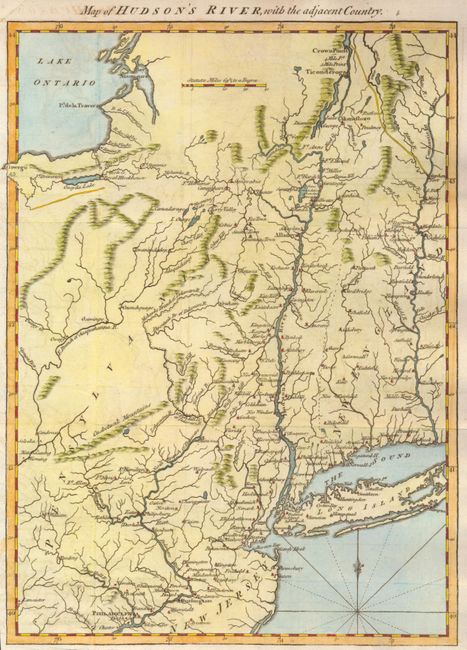
Auction 134, Lot 170
Subject: Colonial New England and New York
Anon.
Map of Hudson's River, with the adjacent Country, 1778
Size: 8.5 x 11.5 inches (21.6 x 29.2 cm)
Estimate: $250 - $300
Sold for: $180
Closed on 12/1/2010
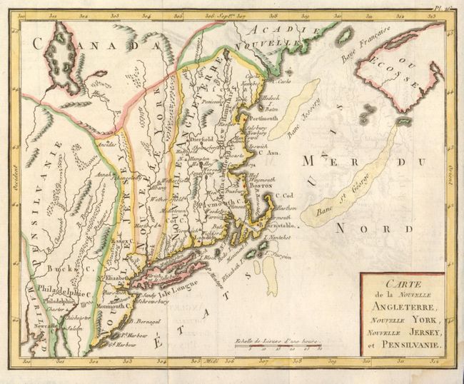
Auction 134, Lot 171
Subject: New England and Mid-Atlantic
Bertholon, C.
Carte de la Nouvelle Angleterre, Nouvelle York, Nouvelle Jersey, et Pensilvanie, 1799
Size: 8.7 x 7 inches (22.1 x 17.8 cm)
Estimate: $200 - $250
Sold for: $150
Closed on 12/1/2010
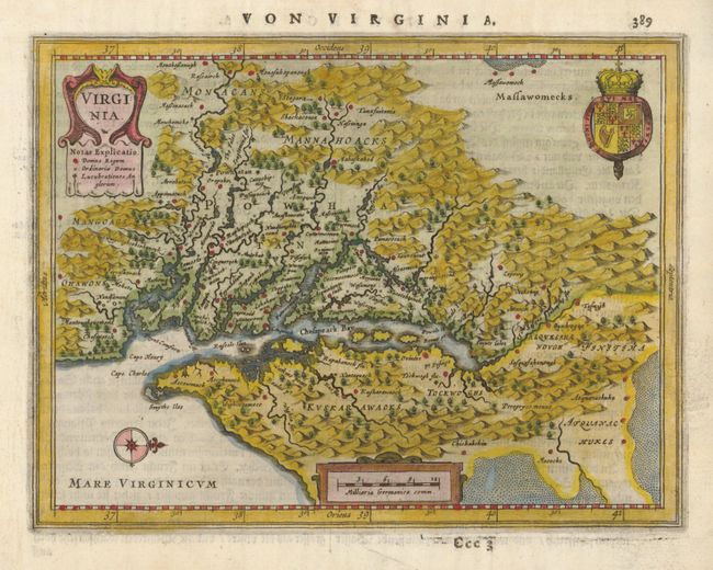
Auction 134, Lot 172
Subject: Colonial Mid-Atlantic
Jansson, Jan
Virginia, 1648
Size: 7.5 x 5.6 inches (19.1 x 14.2 cm)
Estimate: $800 - $1,000
Sold for: $1,100
Closed on 12/1/2010
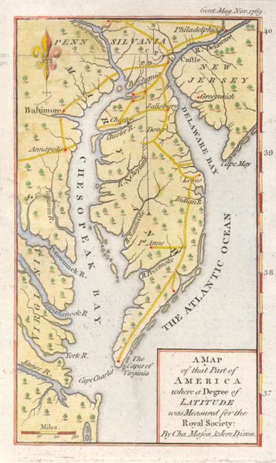
Auction 134, Lot 173
Subject: Colonial Mid-Atlantic
Anon.
A Map of that Part of America where a Degree of Latitude was Measured for the Royal Society : by Cha. Mason, & Jere. Dixon, 1769
Size: 3.8 x 6.5 inches (9.7 x 16.5 cm)
Estimate: $425 - $500
Sold for: $375
Closed on 12/1/2010
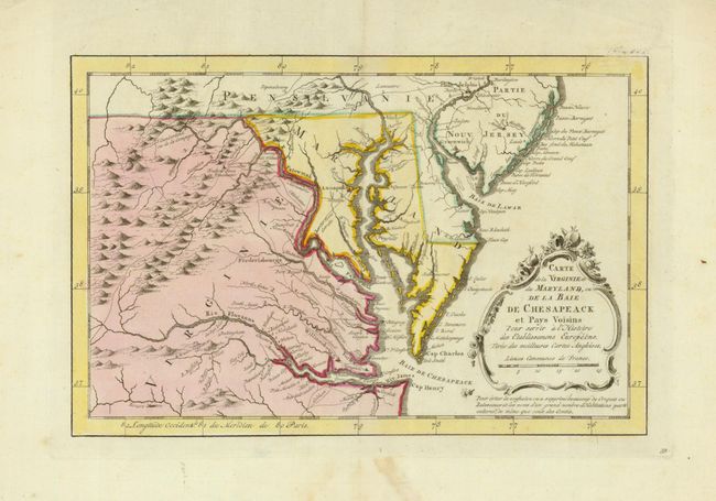
Auction 134, Lot 174
Subject: Colonial Mid-Atlantic
Bellin, Jacques Nicolas
Carte de la Virginie et du Maryland, ou de la Baie de Chesapeack et Pays Voisins…, 1773
Size: 11.2 x 7.4 inches (28.4 x 18.8 cm)
Estimate: $325 - $400
Sold for: $375
Closed on 12/1/2010
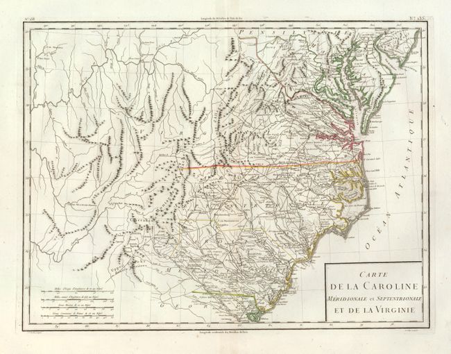
Auction 134, Lot 175
Subject: Mid-Atlantic and Southeastern United States
Tardieu, Pierre Francois
Carte de la Caroline Meridionale et Septentrionale et de la Virginie, 1797
Size: 16.8 x 12.8 inches (42.7 x 32.5 cm)
Estimate: $450 - $550
Sold for: $250
Closed on 12/1/2010
172 lots
Page 1 of 4