Catalog Archive
Auction 134, Lot 171

"Carte de la Nouvelle Angleterre, Nouvelle York, Nouvelle Jersey, et Pensilvanie", Bertholon, C.
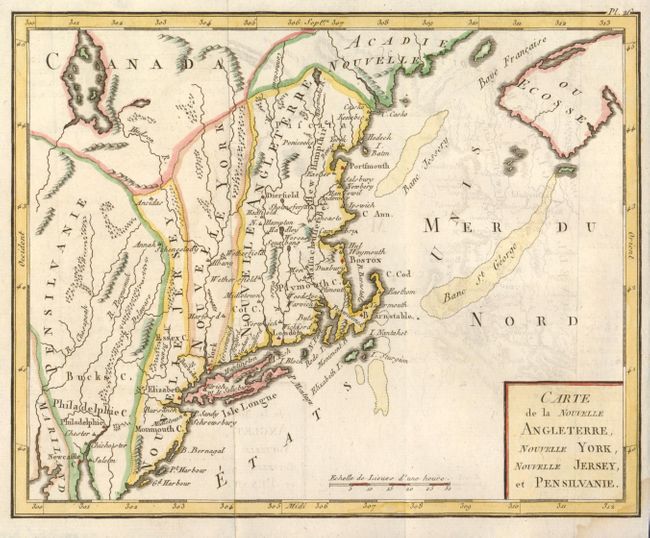
Subject: New England and Mid-Atlantic

Period: 1799 (published)

Publication: Atlas moderne portatif

Color: Hand Color

Size:
8.7 x 7 inches
22.1 x 17.8 cm
Download High Resolution Image
(or just click on image to launch the Zoom viewer)

This interesting map of New England exhibits some very odd boundaries. The states appear as amorphous strips stretching north-south displaying the lack of French knowledge of the existing boundaries. The map is a close copy of Joseph La Porte's 1780 map of the same title, with a simplified cartouche and the change of Possessions Angloises in the Atlantic to Etats Unis.

References: cf McCorkle #780.2.

Condition: B+

Small damp stain in bottom right corner and some very faint offsetting.

Estimate: $200 - $250

Sold for: $150

Closed on 12/1/2010

Archived