Catalog Archive
Auction 134, Lot 156

"United States of America", Lizars, Daniel

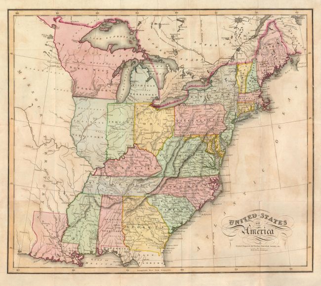
Subject: Eastern United States

Period: 1819 (circa)

Publication: Warden's Statistical, Political, and Historical Account of the United States

Color: Hand Color

Size:
17.8 x 15.3 inches
45.2 x 38.9 cm
Download High Resolution Image
(or just click on image to launch the Zoom viewer)

This handsome map shows the young United States with political development confined east of the Mississippi River and the state of Louisiana. Missouri Territory takes in all the plains region west of the Mississippi and the North West Territory contains the future Upper Peninsula of Michigan, Wisconsin and Minnesota. The map provides good information on the early roads and locates Indian villages, hunting grounds, and forts.

References:

Condition: B

Issued folding, now flattened with a repaired binding tear just entering the border at upper right. Original color with some toning and offsetting.

Estimate: $200 - $250

Sold for: $240

Closed on 12/1/2010

Archived