Filtered by Category:United States(Show All Categories)
Catalog Archive
22094 lots
Page 1 of 442
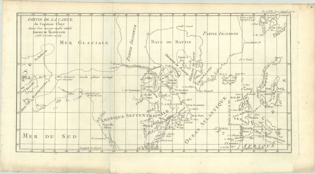
Auction 206, Lot 106
Subject: Colonial United States & Canada, Arctic
Robert de Vaugondy, Didier
Partie de la Carte du Capitaine Cluny Auteur d'un Ouvrage Anglois Intitule American Traveller Publie a Londres en 1769, 1773
Size: 16.4 x 8.6 inches (41.7 x 21.8 cm)
Estimate: $100 - $130
Sold for: $40
Closed on 11/12/2025
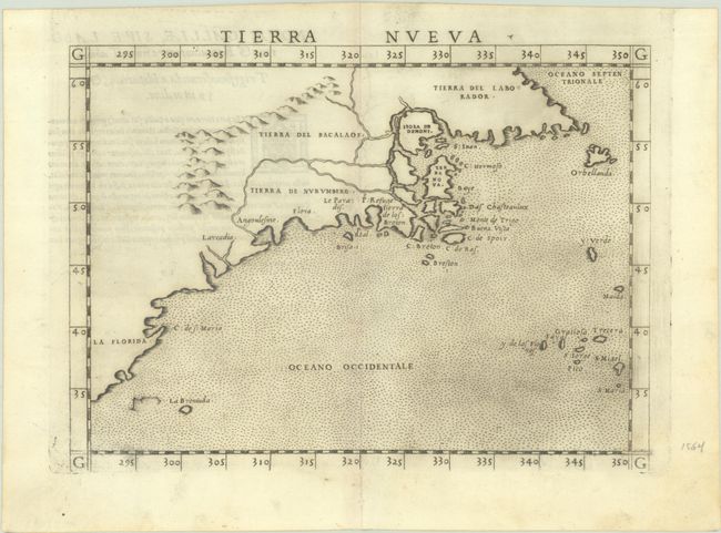
Auction 206, Lot 107
Subject: Eastern United States & Canada
Ruscelli, Girolamo
Tierra Nueva, 1562
Size: 9.6 x 7.1 inches (24.4 x 18 cm)
Estimate: $1,100 - $1,400
First State of Ruscelli's Map of the East Coast
Sold for: $650
Closed on 11/12/2025
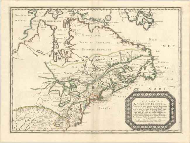
Auction 206, Lot 108
Subject: Colonial Eastern United States & Canada
Sanson/Mariette
Le Canada, ou Nouvelle France, &c. ce qui est le Plus Advance Vers le Septentrion est Tire de Diverses Relations des Anglois, Danois, &c..., 1656
Size: 21.4 x 15.9 inches (54.4 x 40.4 cm)
Estimate: $4,000 - $4,750
Keystone Map for Great Lakes Collections
Unsold
Closed on 11/12/2025
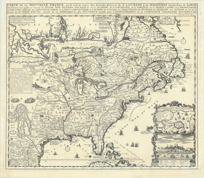
Auction 206, Lot 109
Subject: Colonial Eastern United States & Canada
Chatelain, Henry Abraham
Carte de la Nouvelle France, ou se Voit le Cours des Grandes Rivieres de S. Laurens & de Mississipi Aujour d'hui S. Louis, aux Environs des-quelles se Trouvent les Etats, Pais, Nations, Peuples, &c. de la Floride, de la Louisiane, de la Virginie..., 1719
Size: 19.3 x 16.7 inches (49 x 42.4 cm)
Estimate: $2,000 - $2,300
One of the Most Informative 18th Century Maps of the French Possessions in North America
Unsold
Closed on 11/12/2025
Auction 206, Lot 110
Subject: Colonial Eastern United States & Canada
Senex, John
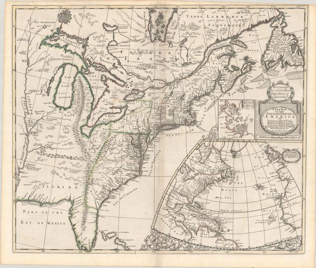
A New Map of the English Empire in America viz Virginia Maryland Carolina Pennsylvania New York New Iarsey New England Newfoundland New France &c., 1719
Size: 22.9 x 19.6 inches (58.2 x 49.8 cm)
Estimate: $2,400 - $3,000
Senex's Important Map of the American Colonies
Unsold
Closed on 11/12/2025
Auction 206, Lot 111
Subject: Colonial Eastern United States & Canada
Homann, Johann Baptist
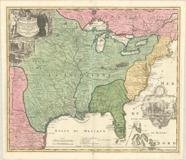
Amplissimae Regionis Mississipi seu Provinciae Ludovicianae a R.P. Ludovico Hennepin Francisc Miss. in America Septentrionali Anno 1687..., 1720
Size: 22.8 x 19.2 inches (57.9 x 48.8 cm)
Estimate: $2,200 - $2,500
Striking Map of Colonial America with Bison Vignette
Sold for: $2,500
Closed on 11/12/2025
Auction 206, Lot 112
Subject: Colonial Eastern United States & Canada
Lodge, John
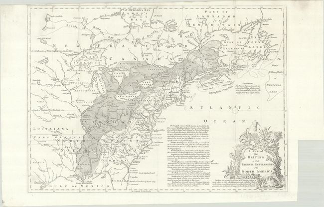
A Map of the British and French Settlements in North America, 1755
Size: 15.2 x 10.9 inches (38.6 x 27.7 cm)
Estimate: $550 - $700
Unsold
Closed on 11/12/2025
Auction 206, Lot 113
Subject: Colonial Eastern United States & Canada
Bowen, Thomas
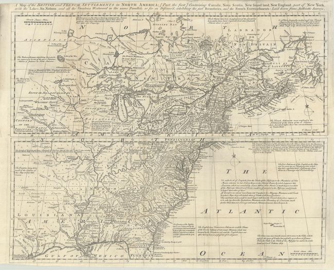
[Lot of 2] A Map of the British and French Settlements in North America; [Part the First] Containing Canada, Nova Scotia, New Found Land, New England... [and] ... [Part the Second] Containing Part of New York, Pensilvania, New Jersey, Mary Land..., 1755
Size: 19 x 7.5 inches (48.3 x 19.1 cm)
Estimate: $1,300 - $1,600
Scarce Pair of Maps Showing Colonial America During the French and Indian War
Sold for: $950
Closed on 11/12/2025
Auction 206, Lot 114
Subject: Colonial Eastern United States & Canada
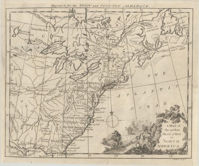
A Map of the Present Seat of War in North America, 1776
Size: 9.4 x 7.6 inches (23.9 x 19.3 cm)
Estimate: $375 - $450
Rare Revolutionary War-Era Almanac Map of Colonial America
Sold for: $325
Closed on 11/12/2025
Auction 206, Lot 115
Subject: Colonial Eastern United States & Canada
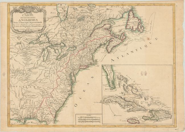
Imbert, J. Leopold
Carte des Possessions Angloises dans l'Amerique Septentrionale pour Servir d'Intelligence a la Guerre Presente Traduite de l'Anglois, 1777
Size: 29 x 21.3 inches (73.7 x 54.1 cm)
Estimate: $1,800 - $2,200
First Edition of Important Revolutionary War Map
Unsold
Closed on 11/12/2025
Auction 206, Lot 116
Subject: Eastern United States & Canada, Franklin
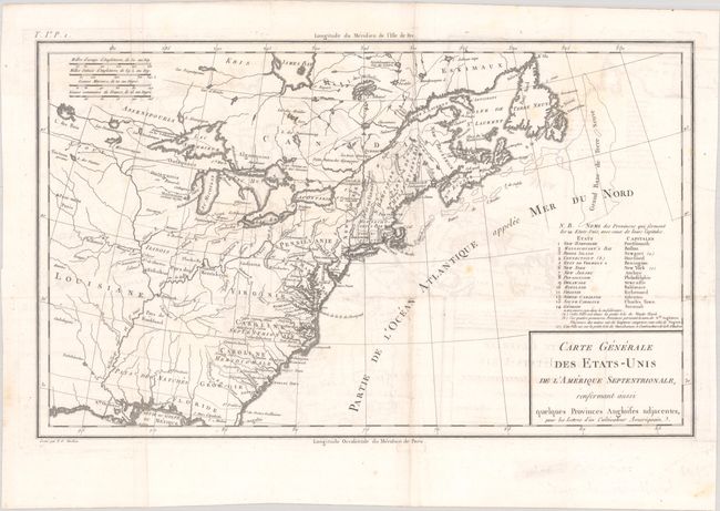
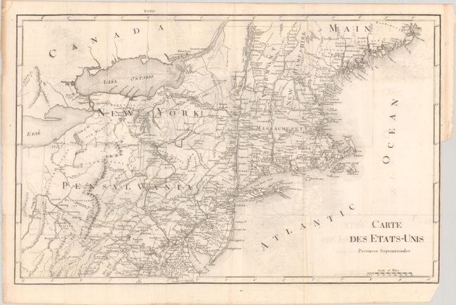
Crevecoeur, Michel Guillaume De
Carte Generale des Etats-Unis de l'Amerique Septentrionale, Renfermant Aussi Quelques Provinces Angloises Adjacentes, pour les Lettres d'un Cultivateur Ameriquain, 1787
Size: 16.9 x 10.3 inches (42.9 x 26.2 cm)
Estimate: $750 - $900
One of the Earliest Maps to Name Franklinia
Sold for: $475
Closed on 11/12/2025
Auction 206, Lot 117
Subject: Eastern United States & Canada
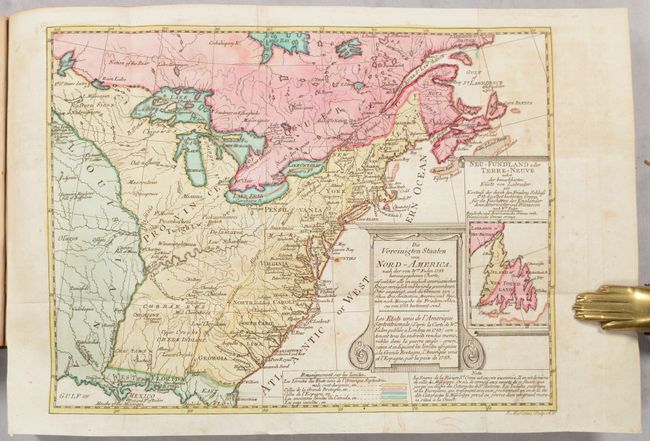
Sotzmann, Daniel Friedrich
[Map in Book] Die Vereinigten Staaten von Nord-America... / Les Etats Unis de l'Amerique Septentrionale... [in] Geschichte der Revolution von Nord-America..., 1788
Size: 10.1 x 7.7 inches (25.7 x 19.6 cm)
Estimate: $700 - $850
Rare, Multi-Lingual Reduced Version of Faden's Map of 1783
Unsold
Closed on 11/12/2025
Auction 206, Lot 118
Subject: Eastern United States & Canada
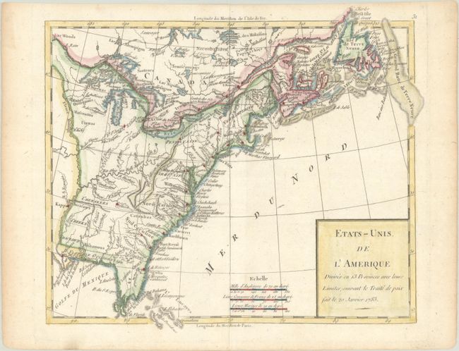
Robert de Vaugondy/Delamarche
Etats-Unis de l'Amerique Divises en 13 Provinces avec Leurs Limites, Suivant le Traite de Paix Fait le 20 Janvier 1783, 1791
Size: 9.4 x 8.2 inches (23.9 x 20.8 cm)
Estimate: $150 - $180
Sold for: $130
Closed on 11/12/2025
Auction 206, Lot 119
Subject: Eastern United States & Canada
Rochefoucald Liancourt, Francois Alexander
[8 Volumes] Voyage dans les Etats-Unis d'Amerique, Fait en 1795, 1796 et 1797, 1799
Size: 5 x 8.2 inches (12.7 x 20.8 cm)
Estimate: $1,200 - $1,500
Unsold
Closed on 11/12/2025
Auction 206, Lot 120
Subject: Colonial Eastern United States & Canada
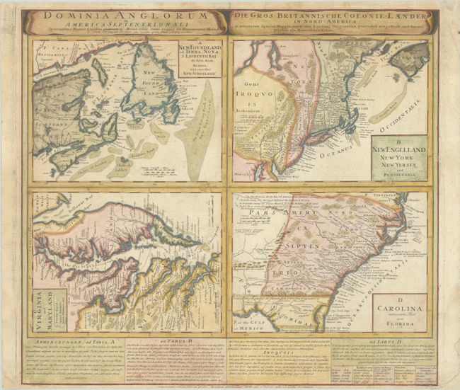
Homann Heirs
Dominia Anglorum in America Septentrionali... / Die Gros-Britannische Colonie-Laender, in Nord-America..., 1740
Size: 22 x 19.9 inches (55.9 x 50.5 cm)
Estimate: $475 - $600
Sold for: $350
Closed on 11/12/2025
Auction 206, Lot 121
Subject: Colonial Northeastern United States & Canada
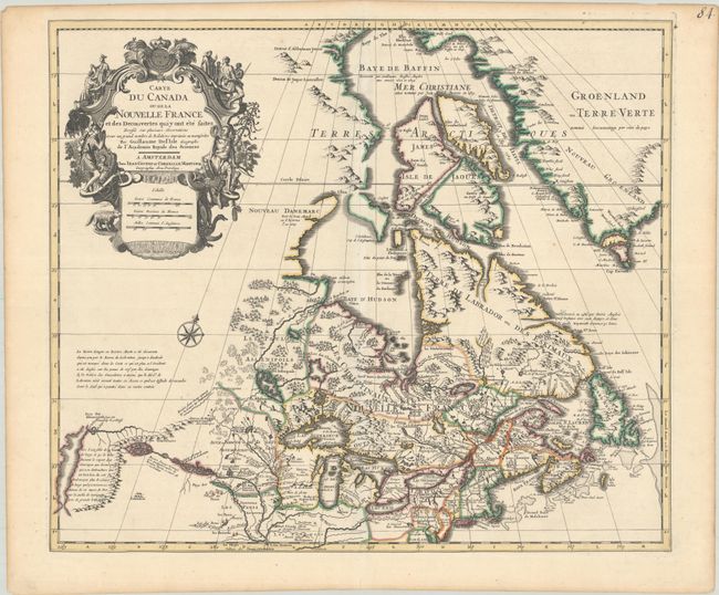
Delisle/Covens & Mortier
Carte du Canada ou de la Nouvelle France et des Decouvertes qui y ont ete Faites Dressee sur Plusieurs Observations et sur un Grand Nombre de Relations Imprimees ou Manuscrites, 1730
Size: 22.4 x 19.3 inches (56.9 x 49 cm)
Estimate: $1,200 - $1,500
One of the Most Influential Maps of Canada, Great Lakes & Upper Midwest
Sold for: $600
Closed on 11/12/2025
Auction 206, Lot 122
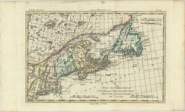
Subject: Colonial Northeastern United States & Canada
Bonne, Rigobert
L'Isle de Terre-Neuve l'Acadie, ou la Nouvelle Ecosse, l'Isle St. Jean et la Partie Orientale du Canada, 1780
Size: 12.5 x 8.3 inches (31.8 x 21.1 cm)
Estimate: $140 - $170
Unsold
Closed on 11/12/2025
Auction 206, Lot 123
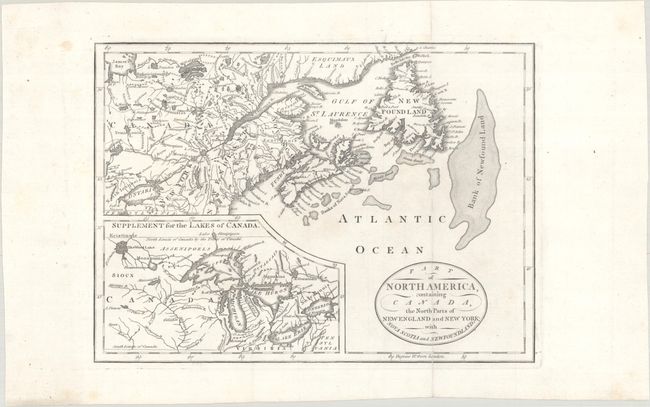
Subject: Northeastern United States & Canada, Great Lakes
Part of North America, Containing Canada, the North Parts of New England and New York; with Nova Scotia and Newfoundland, 1794
Size: 11.3 x 8.2 inches (28.7 x 20.8 cm)
Estimate: $160 - $190
Unsold
Closed on 11/12/2025
Auction 206, Lot 124
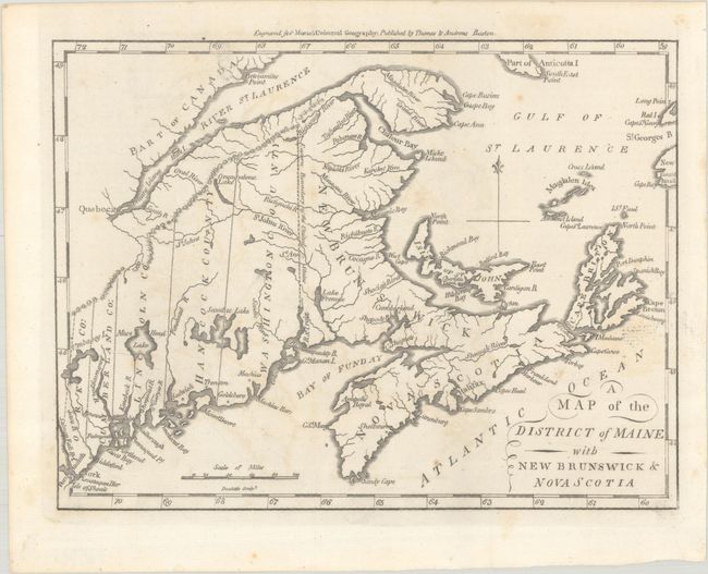
Subject: Northeastern United States & Canada
Morse, Jedidiah (Rev.)
A Map of the District of Maine with New Brunswick & Nova Scotia, 1796
Size: 9.1 x 6.9 inches (23.1 x 17.5 cm)
Estimate: $150 - $180
Sold for: $110
Closed on 11/12/2025
Auction 206, Lot 125
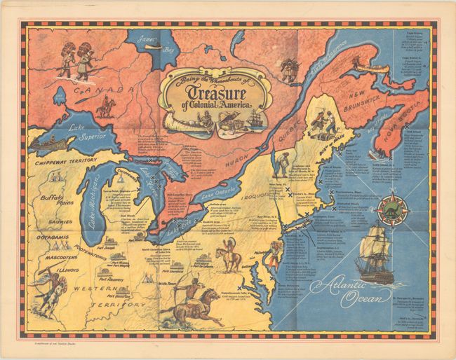
Subject: Northeastern United States & Canada
Being the Whereabouts of Treasure of Colonial America, 1950
Size: 13 x 10 inches (33 x 25.4 cm)
Estimate: $180 - $220
Unrecorded Pictorial Treasure Map of Colonial America
Sold for: $140
Closed on 11/12/2025
Auction 206, Lot 126
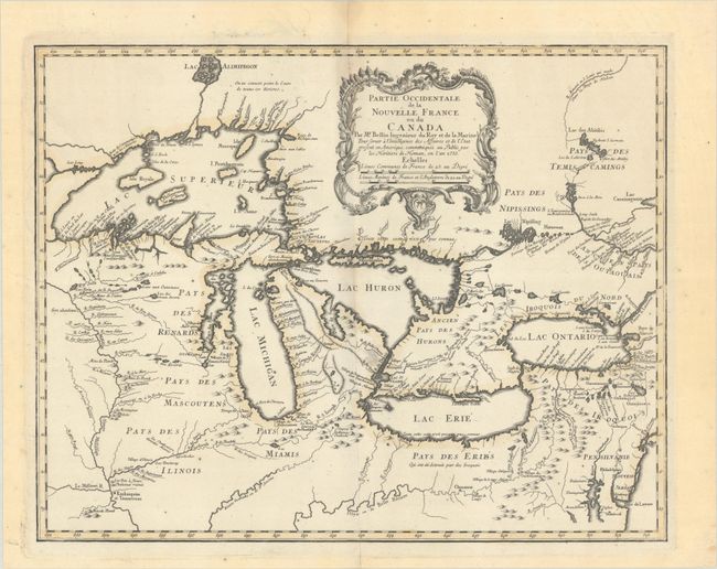
Subject: Colonial Great Lakes
Bellin/Homann Heirs
Partie Occidentale de la Nouvelle France ou du Canada, 1755
Size: 21.3 x 16.8 inches (54.1 x 42.7 cm)
Estimate: $1,500 - $1,800
Influential Map of the Great Lakes
Sold for: $1,000
Closed on 11/12/2025
Auction 206, Lot 127
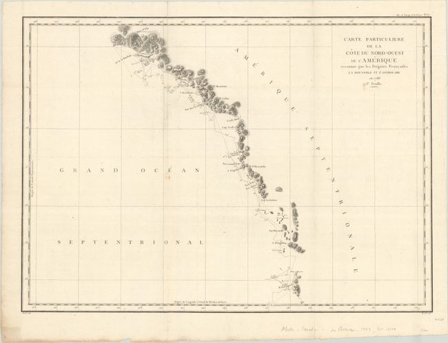
Subject: Northwestern United States & Canada, Alaska
La Perouse, Comte Jean F. Galoup, de
[Lot of 2] Carte Particuliere de la Cote du Nord-Ouest de l'Amerique Reconnue par les Fregates Francaises la Boussole et l'Astrolabe en 1786. 1e Feuille [and] ... 2e Feuille, 1797
Size: 27.1 x 19.5 inches (68.8 x 49.5 cm)
Estimate: $275 - $350
Sold for: $100
Closed on 11/12/2025
Auction 206, Lot 128
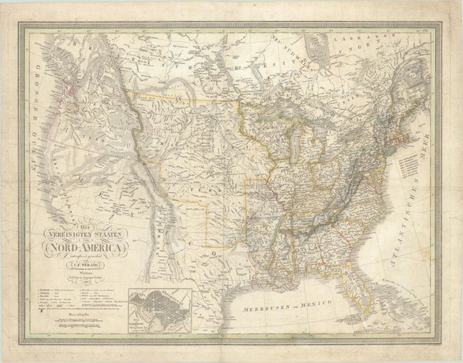
Subject: United States
Weiland, Carl Ferdinand
Die Vereinigten Staaten von Nord-America, 1834
Size: 24.8 x 19 inches (63 x 48.3 cm)
Estimate: $300 - $375
Sold for: $220
Closed on 11/12/2025
Auction 206, Lot 129
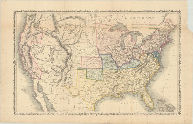
Subject: United States, Civil War
Shaffner, Taliaferro Preston
United States, 1862
Size: 16.8 x 10.7 inches (42.7 x 27.2 cm)
Estimate: $200 - $230
British Civil War Map of the United States
Sold for: $150
Closed on 11/12/2025
Auction 206, Lot 130
Subject: United States
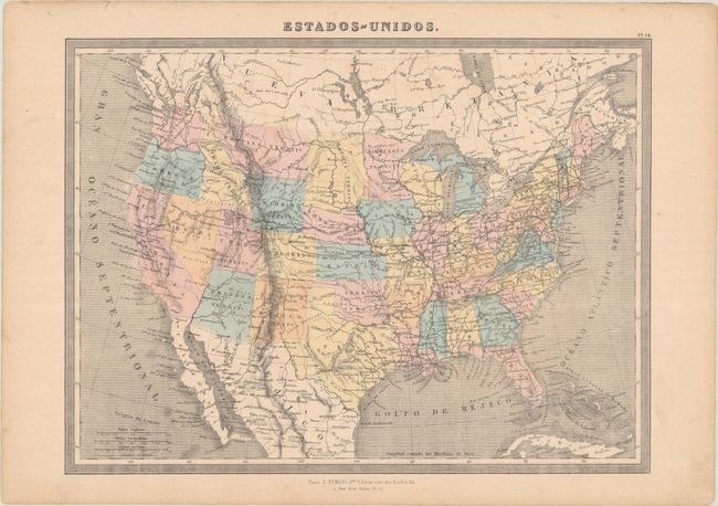
Estados-Unidos, 1868
Size: 14.6 x 10.8 inches (37.1 x 27.4 cm)
Estimate: $90 - $110
NO RESERVE
Sold for: $39
Closed on 11/12/2025
Auction 206, Lot 131
Subject: United States
U.S. Bureau of Indian Affairs
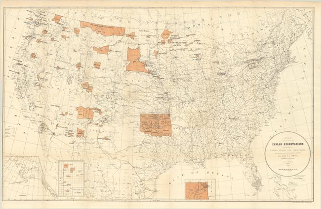
Map Showing the Location of the Indian Reservations Within the Limits of the United States and Territories..., 1887
Size: 33.4 x 21.1 inches (84.8 x 53.6 cm)
Estimate: $160 - $190
Sold for: $120
Closed on 11/12/2025
Auction 206, Lot 132
Subject: United States, Railroads
Rand McNally & Co.
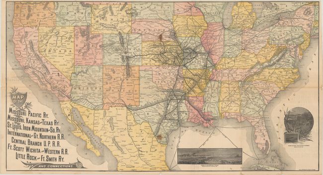
Map of the Missouri Pacific Ry. Missouri, Kansas and Texas Ry. St. Louis, Iron Mountain and So. Ry. International and Gt. Northern R.R. ... and Connections, 1888
Size: 30.9 x 16.9 inches (78.5 x 42.9 cm)
Estimate: $180 - $220
Sold for: $210
Closed on 11/12/2025
Auction 206, Lot 133
Subject: United States
U.S.D.A.
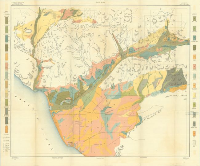
[Lot of 31 - U.S.D.A. Soil Maps] Field Operations of the Bureau of Soils - 1901 - Maps, 1901
Size: 6 x 9.5 inches (15.2 x 24.1 cm)
Estimate: $200 - $230
Features A Number of Maps of Southern California
Sold for: $110
Closed on 11/12/2025
Auction 206, Lot 134
Subject: United States
[Untitled Map with Book] Automobile Tours Pocket Edition Covering Approximately 50,000 Miles and Over 5,000 Towns in the U.S. , 1924
Size: 10.6 x 7.1 inches (26.9 x 18 cm)
Estimate: $150 - $180
Early and Rare Automobile Tour Guide with Map
Sold for: $700
Closed on 11/12/2025
Auction 206, Lot 135
Subject: United States
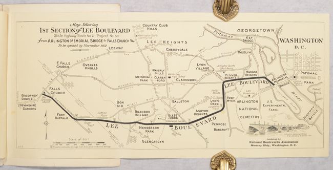
[Map in Booklet] Map Showing Lee Highway... [in] Lee Highway - The Backbone Road of the South..., 1930
Size: 7.5 x 10.3 inches (19.1 x 26.2 cm)
Estimate: $150 - $180
The First All Paved Transcontinental Road
Sold for: $100
Closed on 11/12/2025
Auction 206, Lot 136
Subject: United States
Railroad Companies, (Various)
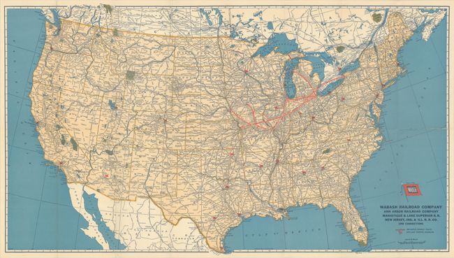
[Lot of 2] "Follow the Flag" Wabash Geographically Correct Map of the United States [and] Wabash Railway Company Ann Arbor Railroad Company Manistique & Lake Superior R.R. Co. New Jersey, Ind. & Ill. R.R. Co. [in] "Follow the Flag" Wabash Time Tables..., 1939-43
Size: See Description
Estimate: $60 - $80
NO RESERVE
Sold for: $42
Closed on 11/12/2025
Auction 206, Lot 137
Subject: United States, Aviation
Rand McNally & Co.
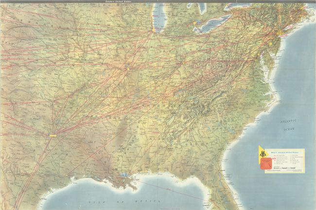
American Airlines System Map, 1958
Size: 36 x 24 inches (91.4 x 61 cm)
Estimate: $60 - $80
NO RESERVE
Sold for: $60
Closed on 11/12/2025
Auction 206, Lot 138
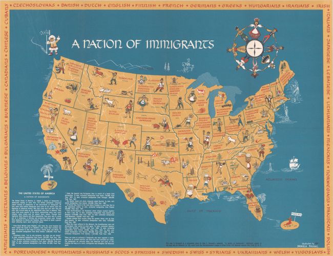
Subject: United States
[Map with Pamphlet] A Nation of Immigrants, 1962
Size: 21.5 x 16.6 inches (54.6 x 42.2 cm)
Estimate: $550 - $700
Sold for: $400
Closed on 11/12/2025
Auction 206, Lot 139
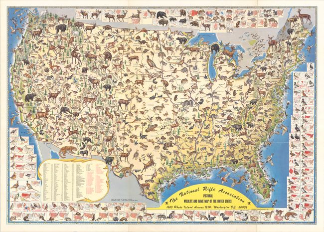
Subject: United States
The National Rifle Association Pictorial Wildlife and Game Map of the United States, 1972
Size: 26.9 x 18.9 inches (68.3 x 48 cm)
Estimate: $200 - $230
Sold for: $100
Closed on 11/12/2025
Auction 206, Lot 140
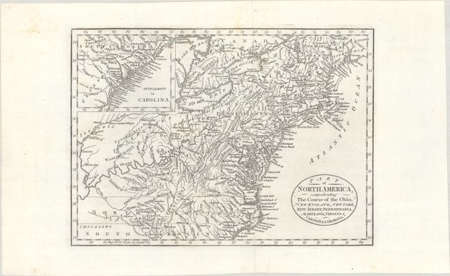
Subject: Eastern United States
Cary, John
Part of North America, Comprehending the Course of the Ohio, New England, New York, New Jersey, Pennsylvania, Maryland, Virginia, Carolina & Georgia, 1795
Size: 11.8 x 8.5 inches (30 x 21.6 cm)
Estimate: $240 - $300
Sold for: $120
Closed on 11/12/2025
Auction 206, Lot 141
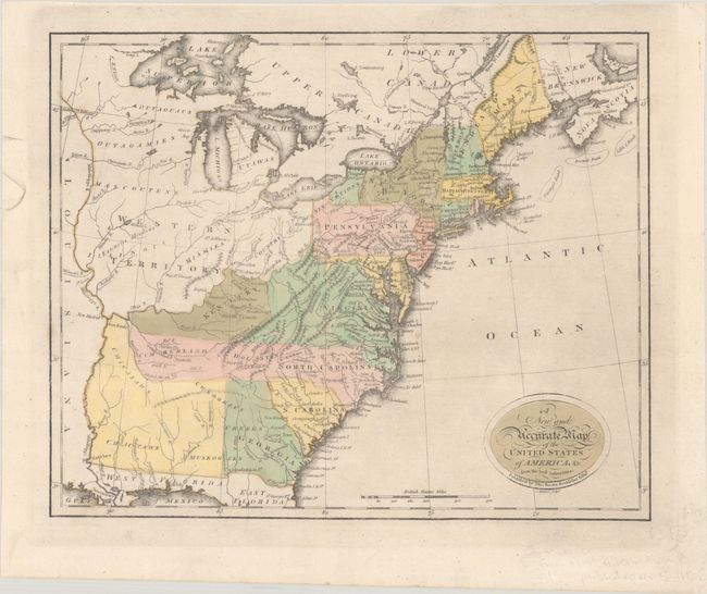
Subject: Eastern United States
Brown, Thomas
A New and Accurate Map of the United States of America, &c. from the Best Authorities, 1806
Size: 13.1 x 10.6 inches (33.3 x 26.9 cm)
Estimate: $550 - $700
Sold for: $400
Closed on 11/12/2025
Auction 206, Lot 142
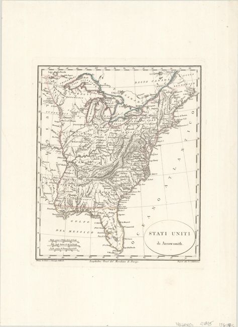
Subject: Eastern United States
Stati Uniti di Arrowsmith, 1815
Size: 8 x 9.4 inches (20.3 x 23.9 cm)
Estimate: $100 - $130
Sold for: $75
Closed on 11/12/2025
Auction 206, Lot 143
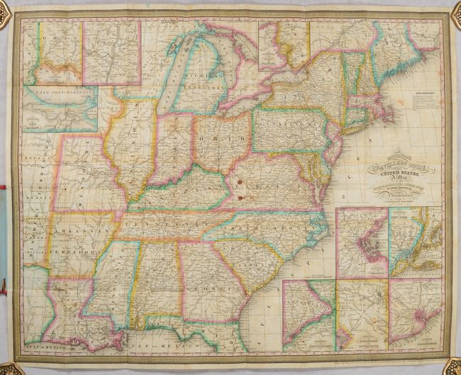
Subject: Eastern United States
Mitchell, Samuel Augustus
Mitchell's Travellers Guide Through the United States. A Map of the Roads, Distances, Steam Boat & Canal Routes &c., 1834
Size: 21.9 x 17.4 inches (55.6 x 44.2 cm)
Estimate: $600 - $750
Unsold
Closed on 11/12/2025
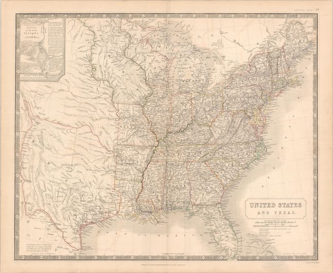
Auction 206, Lot 144
Subject: Eastern United States, Texas
Johnston, W. & A.K.
United States and Texas, 1842
Size: 24.3 x 19.8 inches (61.7 x 50.3 cm)
Estimate: $1,200 - $1,500
Scottish Atlas Map Featuring the Independent Republic of Texas
Sold for: $950
Closed on 11/12/2025
Auction 206, Lot 145
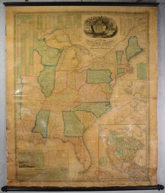
Subject: Eastern United States
Mitchell/Young
Map of the United States, 1845
Size: 34.7 x 43.5 inches (88.1 x 110.5 cm)
Estimate: $750 - $900
Sold for: $400
Closed on 11/12/2025
Auction 206, Lot 146
Subject: Eastern United States
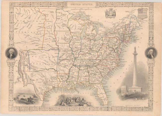
Tallis, John
United States, 1850
Size: 13.5 x 9.8 inches (34.3 x 24.9 cm)
Estimate: $200 - $230
Sold for: $150
Closed on 11/12/2025
Auction 206, Lot 147
Subject: Colonial New England & Mid-Atlantic United States
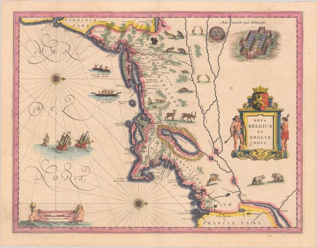
Blaeu, (Family)
Nova Belgica et Anglia Nova, 1638
Size: 19.9 x 15.3 inches (50.5 x 38.9 cm)
Estimate: $1,500 - $1,800
Important Map of Colonial New England and the Mid-Atlantic
Unsold
Closed on 11/12/2025
Auction 206, Lot 148
Subject: Colonial New England & Mid-Atlantic United States
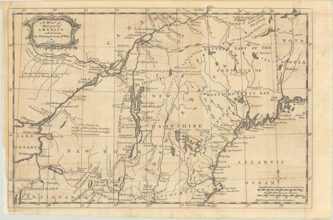
Anon.
A Map of That Part of America Which Was the Principal Seat of War, in 1756, 1757
Size: 13.2 x 8.8 inches (33.5 x 22.4 cm)
Estimate: $275 - $350
Sold for: $170
Closed on 11/12/2025
Auction 206, Lot 149
Subject: Colonial New England & Mid-Atlantic United States
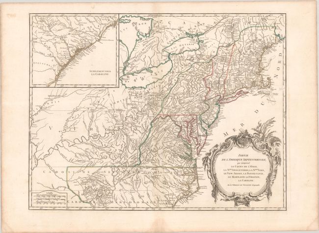
Robert de Vaugondy, Didier
Partie de l'Amerique Septentrionale, qui Comprend le Cours de l'Ohio, la Nlle. Angleterre, la Nlle York, le New Jersey, la Pensylvanie, le Maryland la Virginie, la Caroline, 1768
Size: 24.6 x 18.8 inches (62.5 x 47.8 cm)
Estimate: $550 - $700
Unsold
Closed on 11/12/2025
Auction 206, Lot 150
Subject: New England & Mid-Atlantic United States
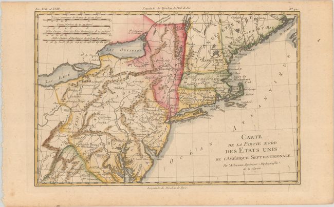
Bonne, Rigobert
Carte de la Partie Nord des Etats Unis de l'Amerique Septentrionale, 1783
Size: 12.6 x 8.3 inches (32 x 21.1 cm)
Estimate: $120 - $150
Sold for: $90
Closed on 11/12/2025
Auction 206, Lot 151
Subject: Colonial New England United States
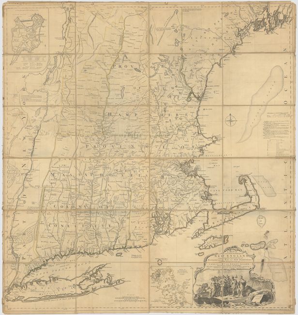
Jefferys, Thomas
A Map of the Most Inhabited Part of New England, Containing the Provinces of Massachusets Bay and New Hampshire, with the Colonies of Conecticut and Rhode Island, Divided into Counties and Townships..., 1774
Size: 39.3 x 41.4 inches (99.8 x 105.2 cm)
Estimate: $3,000 - $3,750
Jefferys' Influential Map of New England in Contemporary Outline Color
Sold for: $2,000
Closed on 11/12/2025
Auction 206, Lot 152
Subject: Colonial New England United States
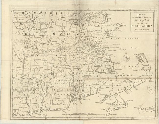
Anon.
A New and Accurate Map of the Present Seat of War in North America, from a Late Survey, 1775
Size: 15 x 11.4 inches (38.1 x 29 cm)
Estimate: $400 - $475
Unsold
Closed on 11/12/2025
Auction 206, Lot 153
Subject: Colonial New England United States, New York
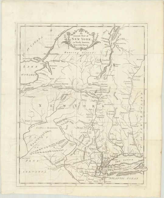
Anon.
An Accurate Map of New York in North America, from a Late Survey, 1780
Size: 10.8 x 13.3 inches (27.4 x 33.8 cm)
Estimate: $200 - $230
Unsold
Closed on 11/12/2025
Auction 206, Lot 154
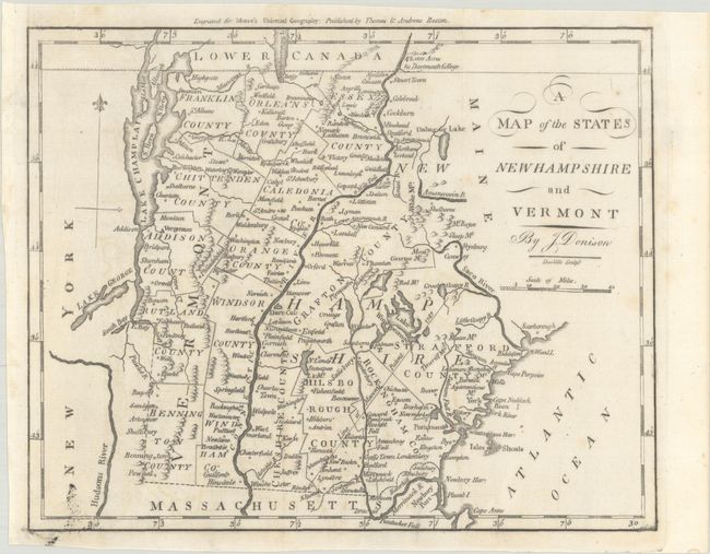
Subject: New Hampshire & Vermont
Morse, Jedidiah (Rev.)
A Map of the States of New Hampshire and Vermont, 1796
Size: 9.3 x 7.4 inches (23.6 x 18.8 cm)
Estimate: $120 - $150
Sold for: $130
Closed on 11/12/2025
Auction 206, Lot 155
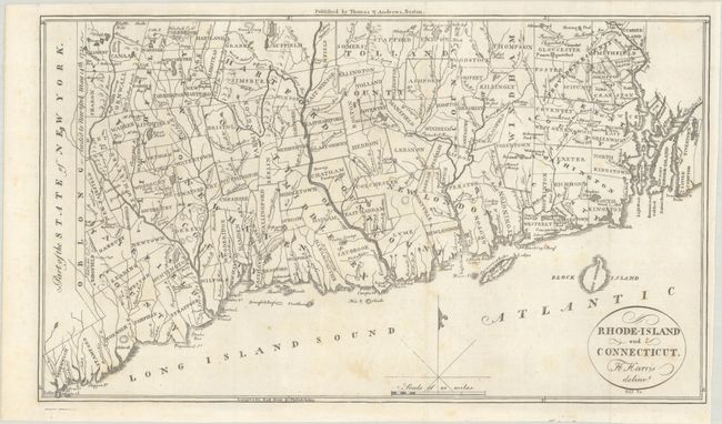
Subject: Connecticut & Rhode Island
Morse, Jedidiah (Rev.)
Rhode-Island and Connecticut, 1796
Size: 13.2 x 7.7 inches (33.5 x 19.6 cm)
Estimate: $140 - $170
Sold for: $140
Closed on 11/12/2025
22094 lots
Page 1 of 442


