Subject: Eastern United States & Canada
Period: 1788 (published)
Publication:
Color: Hand Color
Size:
10.1 x 7.7 inches
25.7 x 19.6 cm
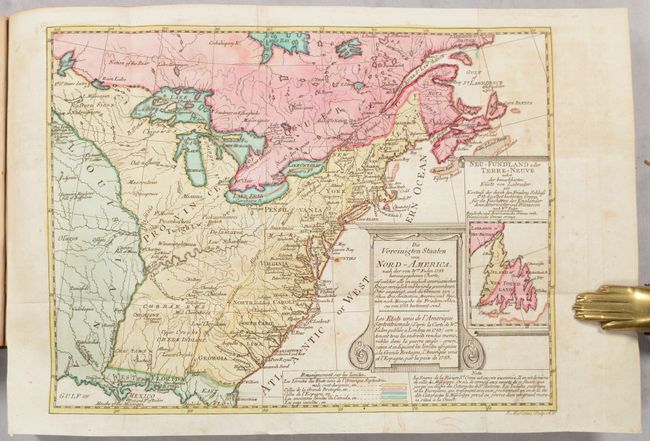
This multi-lingual map is a reduced version of William Faden's important map from 1783. Although the title is in both German and French, the inset is in German only, the legend and note at bottom are both in French, and the place names on the map are in English. The map identifies the new boundaries based on the 1783 Treaty of Paris, with British territory in pink, Spanish in green, and American in yellow. The lighter yellow region west of the Appalachian mountains is noted as "wild" with numerous Indian tribes located. A note in present-day Missouri states "Country full of mines" and another in present-day Iowa states "Extensive meadows full of buffaloes." Lake Superior is filled with large islands. The small inset depicts the new boundaries and fishing grounds in Newfoundland based on the Treaty of Paris, with France given the region marked in yellow (described as orange on the map) and Britain and the Americans gaining the region in pink (described as red on the map). Engraved by Joseph Marianus. A fascinating and scarce map.
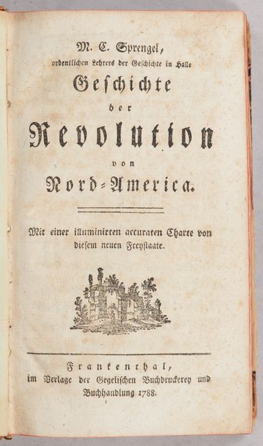
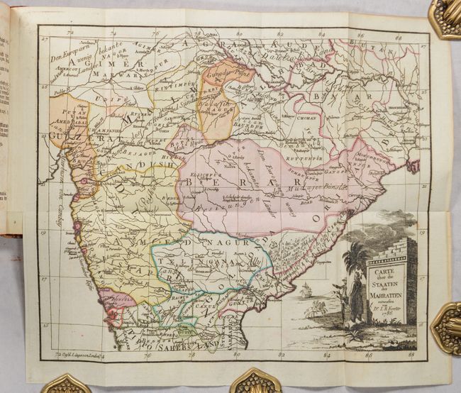
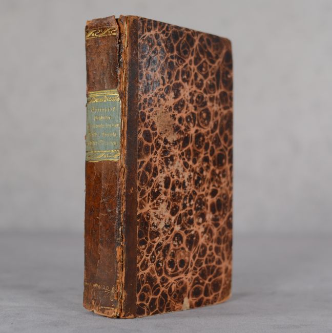
The map was originally published by Sotzmann in 1784 in his Historisch-Genealogischer Calender and then appeared again in Matthias S. Sprengel's Geschichte der Revolution von Nord-America in 1785. This example appears in the second edition of Sprengel's history of the American Revolution, published 1788. German text, 272 pages. The book is here bound with a second title, Geschichte der Maratten bis auf den Lezten Frieden mit England (published 1814), also by Sprengel. This volume features a second folding map, Carte uber die Staaten der Mahratten (12.1 x 10.1"), credited to Dr. I.R. Forster and dated 1786. It covers central India, with excellent detail of political divisions and a striking title cartouche. 288 pages. Hardbound in contemporary quarter leather over marbled boards, with gilt title label on spine.
References: Howes #S-846; McCorkle #784.12; Sabin #89758; Sellers & Van Ee #753.
Condition: B+
The folding map is very good with contemporary color and light toning, minor foxing, and a tiny rust hole off the Delaware coast. Text has light toning and foxing, with old tape stains in the corners of the pastedowns and endpapers. Covers have light shelf wear and scuffing, and there is some cracking along the joints.