Catalog Archive
181 lots
Page 1 of 4
Auction 207, Lot 6
Subject: World
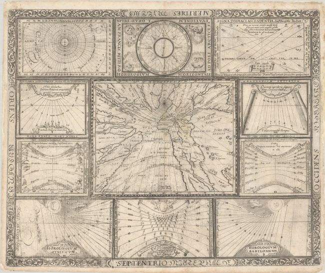
Ritter, Franz
[Untitled - World and Horological Diagrams], 1640
Size: 13.4 x 10.9 inches (34 x 27.7 cm)
Estimate: $2,750 - $3,500
Ritter's Unusual Sun-Dial World Map with Horological Diagrams
Unsold
Closed on 2/11/2026
Auction 207, Lot 8
Subject: World
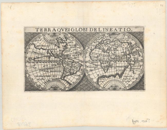
Anon.
Terraquei Globi Delineatio, 1650
Size: 6.2 x 3.3 inches (15.7 x 8.4 cm)
Estimate: $600 - $750
Unsold
Closed on 2/11/2026
Auction 207, Lot 16
Subject: World
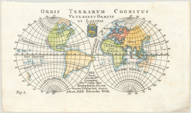
Wells, Edward
Orbis Terrarum Cognitus Veteribus Graecis et Latinis, 1726
Size: 6.4 x 3.5 inches (16.3 x 8.9 cm)
Estimate: $240 - $300
Unsold
Closed on 2/11/2026
Auction 207, Lot 17
Subject: World
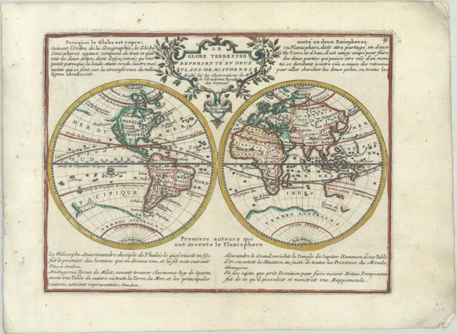
Chiquet, Jacques
Le Globe Terrestre Represente en Deux Plans-Hemispheres Dressee sur les Observations de Mrs. de l'Academie Royale des Sciences, 1729
Size: 8.6 x 6.5 inches (21.8 x 16.5 cm)
Estimate: $275 - $350
Unsold
Closed on 2/11/2026
Auction 207, Lot 21
Subject: World
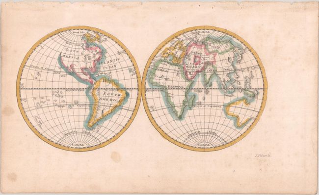
Fisher, Joshua
[Untitled - World], 1765
Size: 5.5 x 2.8 inches (14 x 7.1 cm)
Estimate: $120 - $150
Unsold
Closed on 2/11/2026
Auction 207, Lot 45
Subject: Celestial
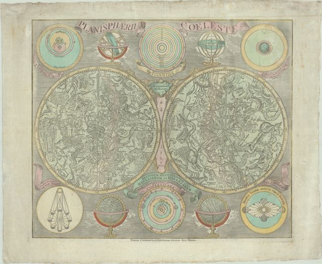
Lotter, Tobias Conrad
Planisphaerium Coeleste, 1772
Size: 22.4 x 18.9 inches (56.9 x 48 cm)
Estimate: $950 - $1,200
Unsold
Closed on 2/11/2026
Auction 207, Lot 55
Subject: Cartographic Miscellany, World War II
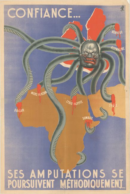
Confiance... ses Amputations se Poursuivent Methodiquement, 1942
Size: 29.8 x 45.2 inches (75.7 x 114.8 cm)
Estimate: $2,000 - $2,300
Anti-British Propaganda Map with Churchill as an Octopus
Unsold
Closed on 2/11/2026
Auction 207, Lot 56
Subject: Cartographic Miscellany, Ireland
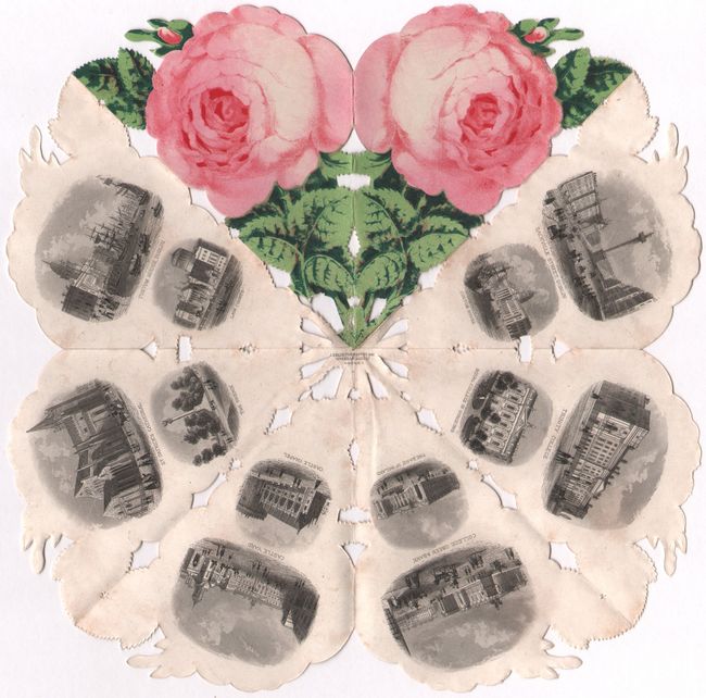
The Dublin Rose, 1860
Size: 9.1 x 9.1 inches (23.1 x 23.1 cm)
Estimate: $190 - $220
Views of Dublin in a Souvenir Rose
Unsold
Closed on 2/11/2026
Auction 207, Lot 57
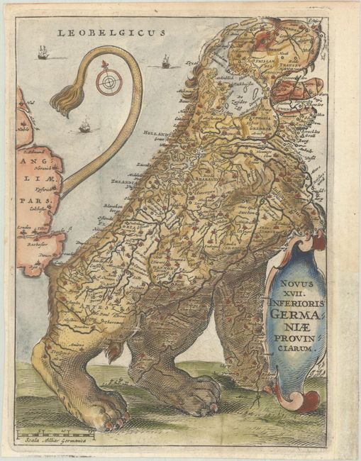
Subject: Cartographic Miscellany, Title Pages, Low Countries
Strada, Famiamo, S.J.
[Leo Belgicus] Novus XVII. Inferioris Germaniae Provinciarum, 1658
Size: 5.3 x 7.2 inches (13.5 x 18.3 cm)
Estimate: $950 - $1,200
Unsold
Closed on 2/11/2026
Auction 207, Lot 60
Subject: Cartographic Miscellany, Game
[Atomic Game Board] Genshi Sugoroku, 1949
Size: 27.7 x 19 inches (70.4 x 48.3 cm)
Estimate: $275 - $350
Japanese Game with Message of Peace After Hiroshima
Unsold
Closed on 2/11/2026
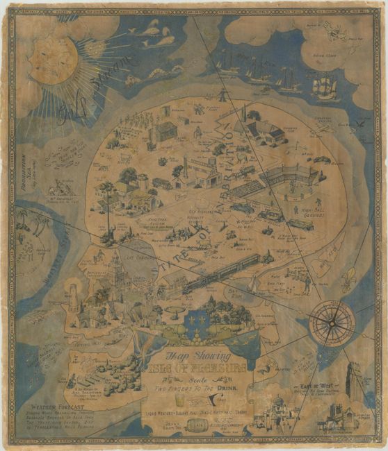
Auction 207, Lot 61
Subject: Cartographic Miscellany, Fictional Map
Map Showing Isle of Pleasure, 1931
Size: 17 x 19.8 inches (43.2 x 50.3 cm)
Estimate: $1,600 - $1,900
Prohibition-Era Map Highlighting the Highs and Lows of Alcohol Consumption
Unsold
Closed on 2/11/2026
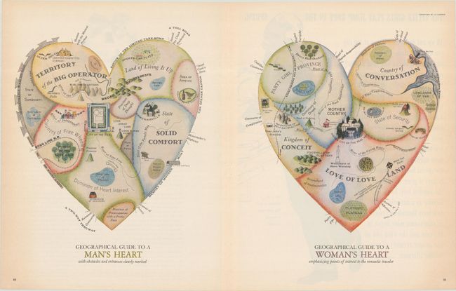
Auction 207, Lot 63
Subject: Cartographic Miscellany, Fictional Map
Geographical Guide to a Man's Heart with Obstacles and Entrances Clearly Marked [on sheet with] Geographical Guide to a Woman's Heart Emphasizing Points of Interest to the Romantic Traveler, 1960
Size: 19.9 x 11.2 inches (50.5 x 28.4 cm)
Estimate: $400 - $475
The Perfect Valentine's Gift for a Map Lover
Unsold
Closed on 2/11/2026
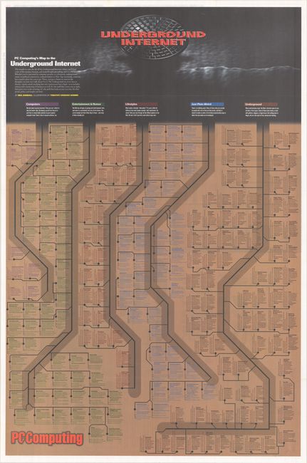
Auction 207, Lot 64
Subject: Cartographic Miscellany, Internet
Underground Internet - Road Map to the Underground Internet, 1995
Size: 24 x 36.4 inches (61 x 92.5 cm)
Estimate: $1,400 - $1,700
Scarce Map Illuminating the Strange Corners of the Early Internet
Unsold
Closed on 2/11/2026
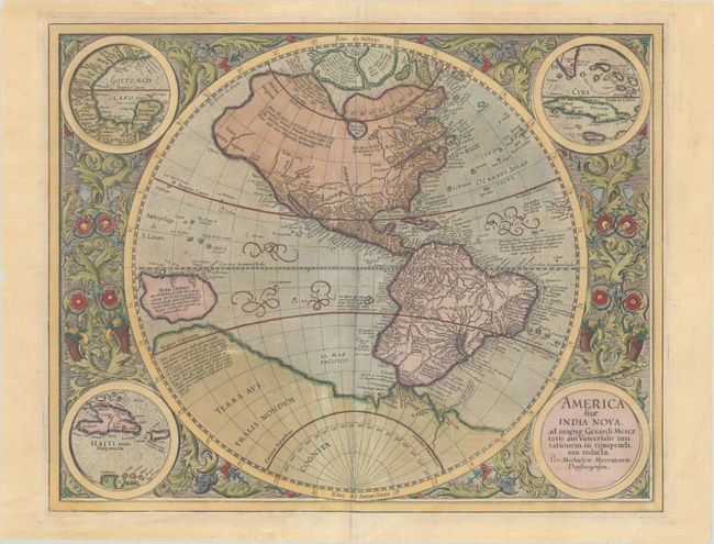
Auction 207, Lot 68
Subject: Western Hemisphere - America
Mercator, Michael
America sive India Nova, ad Magnae Gerardi Mercatoris aui Universalis Imitationem in Compendium Redacta, 1628
Size: 18.4 x 14.7 inches (46.7 x 37.3 cm)
Estimate: $2,750 - $3,500
Mercator's Foundation Map for the Americas in Contemporary Color
Unsold
Closed on 2/11/2026
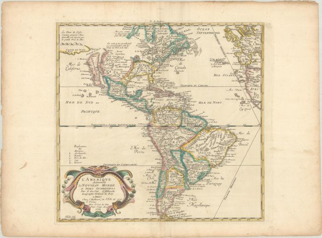
Auction 207, Lot 70
Subject: Western Hemisphere - America
Duval, Pierre
L'Amerique Autrement le Nouveau Monde et Indes Occidentales, 1664
Size: 15.1 x 14.4 inches (38.4 x 36.6 cm)
Estimate: $1,200 - $1,500
Unsold
Closed on 2/11/2026
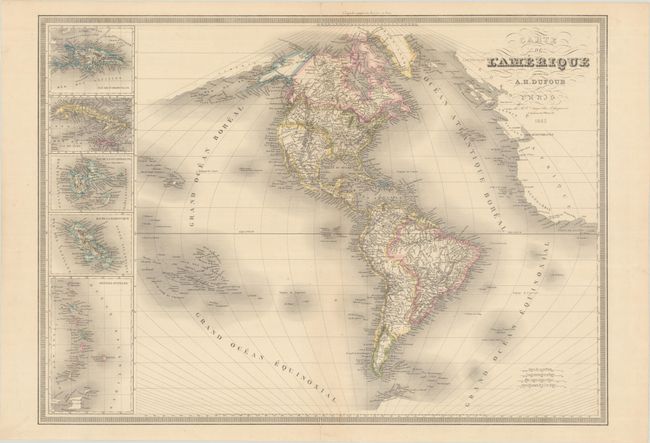
Auction 207, Lot 79
Subject: Western Hemisphere - America
Dufour, Auguste-Henri
Carte de l'Amerique, 1842
Size: 29.1 x 20.9 inches (73.9 x 53.1 cm)
Estimate: $240 - $300
Unsold
Closed on 2/11/2026
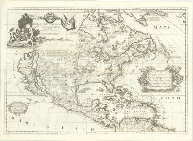
Auction 207, Lot 81
Subject: Colonial North America
Coronelli, Vincenzo Maria
[On 2 Sheets] America Settentrionale Colle Nuove Scoperte sin all' Anno 1688 Divisa nelle sue Parti Secondo lo Stato Presente, e Descritta..., 1688
Size: 17.9 x 24 inches (45.5 x 61 cm)
Estimate: $11,000 - $13,000
Coronelli's Stunning and Influential Map of North America with the Island of California
Unsold
Closed on 2/11/2026
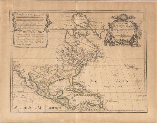
Auction 207, Lot 83
Subject: Colonial North America
Delisle, Guillaume
L'Amerique Septentrionale. Dressee sur les Observations de Mrs. de l'Academie Royale des Sciences, & Quelques Autres, & sur les Memoires les Plus Recens, 1700
Size: 23.9 x 17.9 inches (60.7 x 45.5 cm)
Estimate: $1,500 - $1,800
Delisle's Foundation Map of North America
Unsold
Closed on 2/11/2026
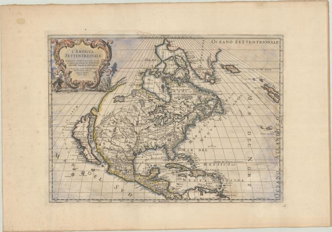
Auction 207, Lot 84
Subject: Colonial North America
Sanson/Rossi
L'America Settentrionale Nuovamente Corretta, et Accresciuta Secondo le Relationi piu Moderne..., 1715
Size: 21.4 x 15.4 inches (54.4 x 39.1 cm)
Estimate: $2,000 - $2,300
Italian Edition of Sanson's Seminal Map with Strait of Anian
Unsold
Closed on 2/11/2026
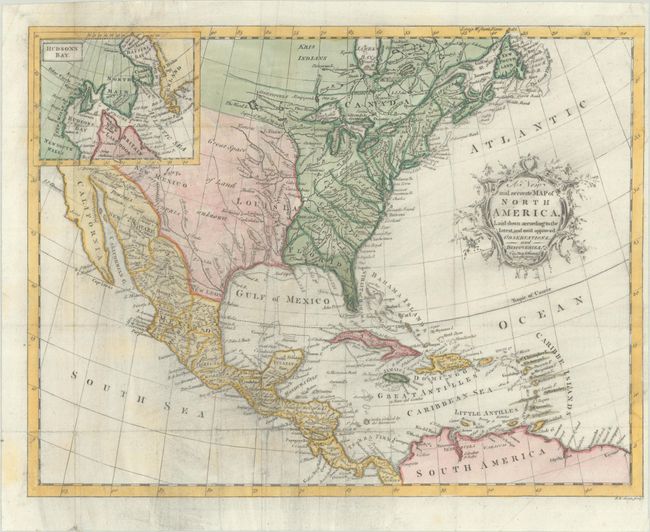
Auction 207, Lot 86
Subject: Colonial North America
Hinton, John
A New and Accurate Map of North America, Laid Down According to the Latest, and Most Approved Observations, and Discoveries, 1763
Size: 13.6 x 10.4 inches (34.5 x 26.4 cm)
Estimate: $375 - $450
Unsold
Closed on 2/11/2026
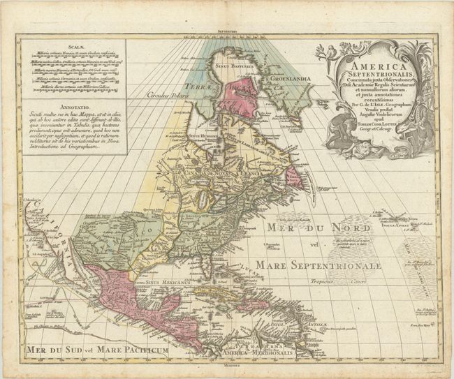
Auction 207, Lot 87
Subject: Colonial North America
Lotter, Tobias Conrad
America Septentrionalis, Concinnata Juxta Observationes Dnn Academiae Regalis Scientiarum et Nonnullorum Aliorum, et Juxta Annotationes Recentissimas..., 1772
Size: 22.9 x 17.9 inches (58.2 x 45.5 cm)
Estimate: $700 - $850
Unsold
Closed on 2/11/2026
Auction 207, Lot 88
Subject: Colonial North America
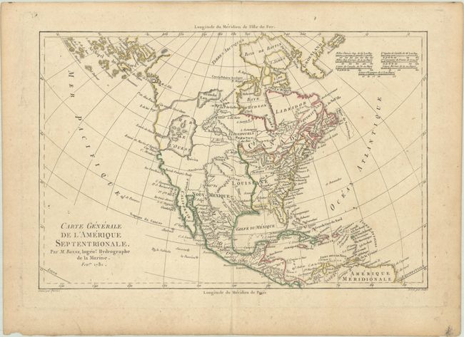
Bonne, Rigobert
Carte Generale de l'Amerique Septentrionale, 1781
Size: 12.6 x 8.4 inches (32 x 21.3 cm)
Estimate: $240 - $300
Unsold
Closed on 2/11/2026
Auction 207, Lot 95
Subject: North America
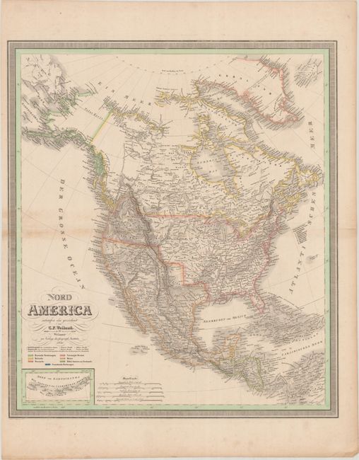
Weiland, Carl Ferdinand
Nord America, 1830
Size: 20.1 x 22.9 inches (51.1 x 58.2 cm)
Estimate: $275 - $350
Unsold
Closed on 2/11/2026
Auction 207, Lot 107
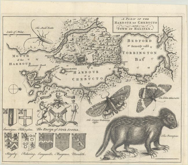
Subject: Halifax, Nova Scotia, Canada
A Plan of the Harbour of Chebucto and Town of Halifax, 1750
Size: 10.6 x 8.8 inches (26.9 x 22.4 cm)
Estimate: $650 - $800
Unsold
Closed on 2/11/2026
Auction 207, Lot 111
Subject: Northern Canada, Back River
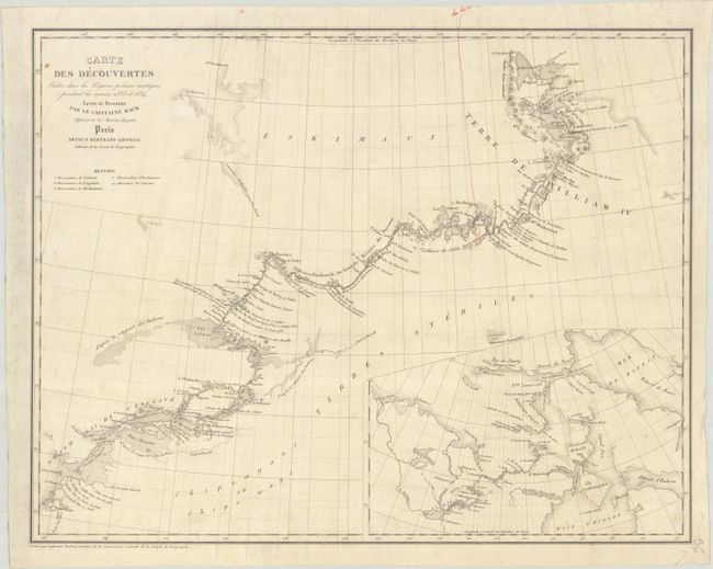
Back, George (Adm. Sir)
Carte des Decouvertes Faites dans les Regions Polaires Arctiques Pendant les Annees 1833 et 1834 Levee et Dessinee par le Capitaine Back..., 1837
Size: 19 x 14.9 inches (48.3 x 37.8 cm)
Estimate: $240 - $300
Scarce Map Showing the Back River Expedition
Unsold
Closed on 2/11/2026
Auction 207, Lot 113
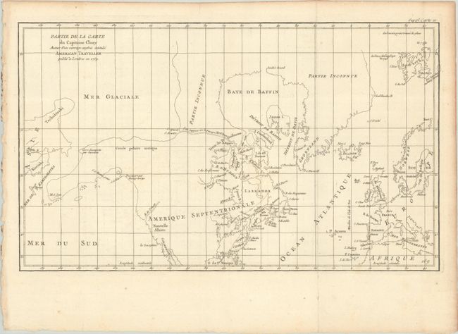
Subject: Colonial United States & Canada, Arctic
Robert de Vaugondy, Didier
Partie de la Carte du Capitaine Cluny Auteur d'un Ouvrage Anglois Intitule American Traveller, 1773
Size: 19.7 x 11.6 inches (50 x 29.5 cm)
Estimate: $95 - $120
Unsold
Closed on 2/11/2026
Auction 207, Lot 119
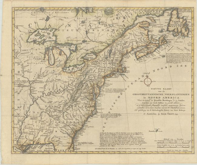
Subject: Colonial Eastern United States & Canada
Tirion, Isaac
Nieuwe Kaart van de Grootbrittannische Volkplantingen in Noord America waar in Tevens de Fransche Bezittingen en de Landen..., 1755
Size: 17.8 x 14.4 inches (45.2 x 36.6 cm)
Estimate: $600 - $750
Unsold
Closed on 2/11/2026
Auction 207, Lot 123
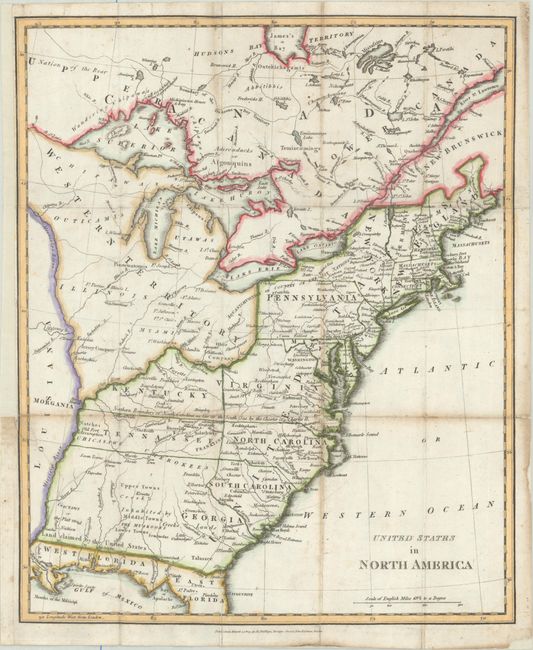
Subject: Eastern United States & Canada, Franklin
Phillips, Richard (Sir)
United States in North America, 1809
Size: 13.1 x 16 inches (33.3 x 40.6 cm)
Estimate: $800 - $950
Features the Short-Lived Franklinia and Morgania
Unsold
Closed on 2/11/2026
Auction 207, Lot 125
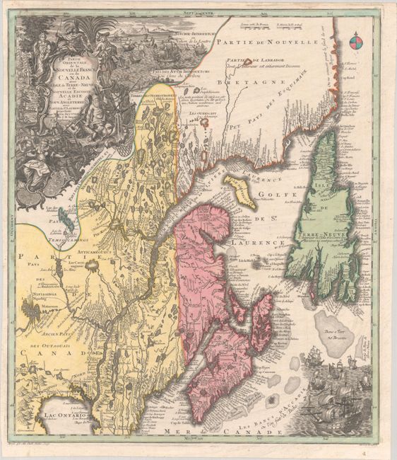
Subject: Colonial Northeastern United States & Canada
Seutter/Lotter
Partie Orientale de la Nouvelle France ou du Canada avec l'Isle de Terre-Neuve et de Nouvelle Escosse, Acadie et Nouv. Angleterre avec Fleuve de St. Laurence, 1756
Size: 19.4 x 22.6 inches (49.3 x 57.4 cm)
Estimate: $1,200 - $1,500
Unsold
Closed on 2/11/2026
Auction 207, Lot 126
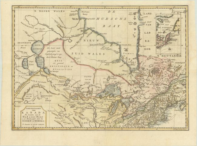
Subject: Colonial Northeastern United States & Canada
Tirion, Isaac
Nieuwe Kaart van Kanada, de Landen aan de Hudsons-Baay en de Noordwestelyke Deelen van Noord-Amerika, 1769
Size: 17.4 x 12.3 inches (44.2 x 31.2 cm)
Estimate: $350 - $425
Unsold
Closed on 2/11/2026
Auction 207, Lot 128
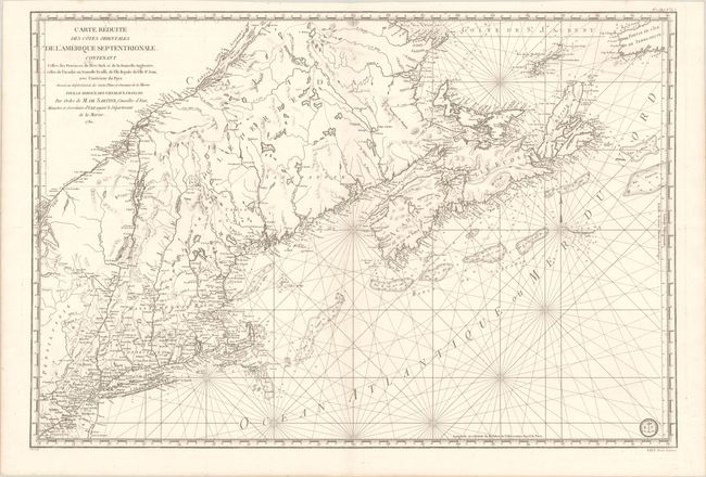
Subject: Colonial Northeastern United States & Canada
Sartine
Carte Reduite des Cotes Orientales de l'Amerique Septentrionale Contenant Celles des Provinces de New-York et de la Nouvelle Angleterre, Celles de l'Acadie ou Nouvelle Ecosse, de l'Ile Royale de l'Ile St. Jean..., 1780
Size: 34.3 x 23.1 inches (87.1 x 58.7 cm)
Estimate: $1,100 - $1,400
Revolutionary War-Era Sea Chart Covering New England & Eastern Canada
Unsold
Closed on 2/11/2026
Auction 207, Lot 129
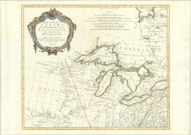
Subject: Colonial Central United States & Canada, Great Lakes
D'Anville/Santini
Partie Occidentale du Canada et Septentrionale de la Louisiane avec une Partie de la Pensilvanie, 1775
Size: 22.4 x 19 inches (56.9 x 48.3 cm)
Estimate: $900 - $1,100
Unsold
Closed on 2/11/2026
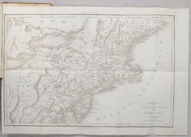
Auction 207, Lot 156
Subject: Eastern United States, Revolutionary War
Botta, Carlo
[2 Maps in 3 Volumes] Le Provincie Meridionali degli Stati Uniti [and] Le Provincie Settentrionali degli Stati Uniti [in] Storia della Guerra della Independenza degli Stati Uniti di America Volume Primo [and] Volume Secondo [and] Volume Terzo, 1820
Size: 5.5 x 8.5 inches (14 x 21.6 cm)
Estimate: $350 - $425
"The Most Valuable History of the Revolution Up to its Date" - Howes
Unsold
Closed on 2/11/2026
Auction 207, Lot 157
Subject: Eastern United States
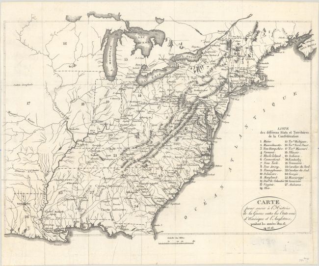
Carte pour Servir a l'Histoire de la Guerre Entre les Etats-Unis d'Amerique et l'Angleterre, Pendant les Annees 1812, 13, 14 et 15, 1822
Size: 13.1 x 9.8 inches (33.3 x 24.9 cm)
Estimate: $160 - $190
Unsold
Closed on 2/11/2026
Auction 207, Lot 158
Subject: Eastern United States
Direccion de Hidrografia
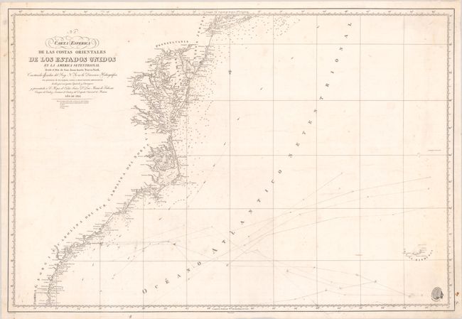
Carta Esferica de las Costas Orientales de los Estados Unidos en la America Setentrional Desde el Rio de San Juan Hasta Nueva York..., 1826
Size: 35.4 x 24.1 inches (89.9 x 61.2 cm)
Estimate: $550 - $700
Unsold
Closed on 2/11/2026
Auction 207, Lot 160
Subject: Eastern United States
Mitchell/Young
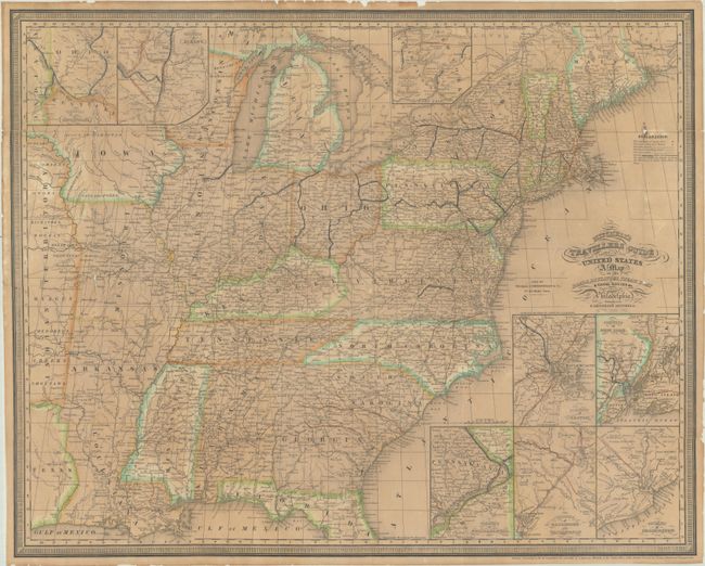
Mitchell's Travellers Guide Through the United States. A Map of the Roads, Distances, Steam Boat & Canal Routes &c., 1841
Size: 21.8 x 17.5 inches (55.4 x 44.5 cm)
Estimate: $475 - $600
Unsold
Closed on 2/11/2026
Auction 207, Lot 166
Subject: New England United States
Russell, John C.
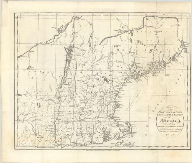
Map of the Northern, or, New England States of America, Comprehending Vermont, New Hampshire, District of Main, Massachusetts, Rhode-Island, and Connecticut, 1795
Size: 18.5 x 14.4 inches (47 x 36.6 cm)
Estimate: $300 - $375
Unsold
Closed on 2/11/2026
Auction 207, Lot 169
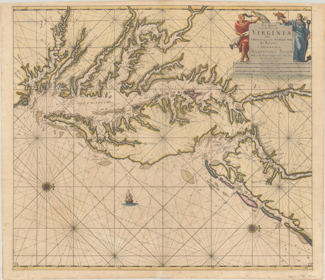
Subject: Colonial Mid-Atlantic United States, Chesapeake & Delaware Bays
Keulen, Johannes van
Pas Kaart van de Zee Kusten van Virginia Tusschen C Henry en t Hooge Land van Renselaars Hoek, 1695
Size: 22.6 x 20 inches (57.4 x 50.8 cm)
Estimate: $4,750 - $6,000
One of the Earliest Maps to Show Philadelphia
Unsold
Closed on 2/11/2026
Auction 207, Lot 175
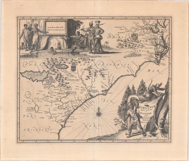
Subject: Colonial Southeastern United States
Montanus/Ogilby
Virginiae Partis Australis, et Floridae Partis Orientalis, Interjacentiumq Regionum Nova Descriptio, 1671
Size: 13.8 x 11.4 inches (35.1 x 29 cm)
Estimate: $800 - $950
Unsold
Closed on 2/11/2026
Auction 207, Lot 180
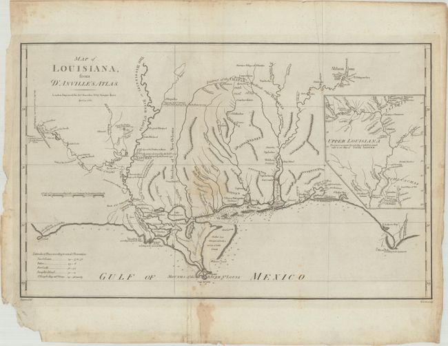
Subject: Gulf Coast
Harrison, John
Map of Louisiana, from d'Anville's Atlas, 1788
Size: 19.4 x 12.1 inches (49.3 x 30.7 cm)
Estimate: $800 - $950
Unsold
Closed on 2/11/2026
Auction 207, Lot 193
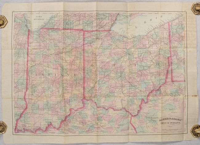
Subject: Ohio & Indiana
Asher & Adams
Asher & Adams' Ohio & Indiana, 1874
Size: 22.3 x 15.7 inches (56.6 x 39.9 cm)
Estimate: $150 - $180
Unsold
Closed on 2/11/2026
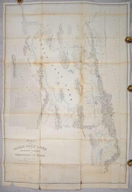
Auction 207, Lot 200
Subject: Western United States, Utah
Stansbury, M. Howard (Capt.)
[2 Maps] Map of the Great Salt Lake and Adjacent Country in the Territory of Utah... [and] Map of a Reconnoissance Between Fort Leavenworth on the Missouri River... [with] Exploration and Survey of the Valley of the Great Salt Lake of Utah..., 1852
Size: 6.5 x 10.2 inches (16.5 x 25.9 cm)
Estimate: $350 - $425
Unsold
Closed on 2/11/2026
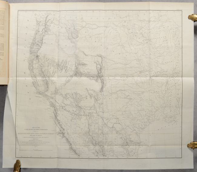
Auction 207, Lot 201
Subject: Western United States
Emory, William Hemsley
[Map in Book] Map of the United States and Their Territories Between the Mississippi and the Pacific Ocean and Part of Mexico... [in] Report on the United States and Mexican Boundary Survey... , 1857
Size: 23 x 20.3 inches (58.4 x 51.6 cm)
Estimate: $550 - $700
Unsold
Closed on 2/11/2026
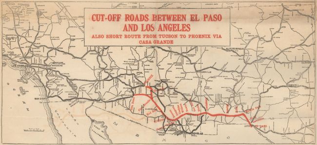
Auction 207, Lot 206
Subject: Southwestern United States
Cut-Off Roads Between El Paso and Los Angeles Also Short Route from Tucson to Phoenix via Casa Grande, 1922
Size: 20.9 x 16 inches (53.1 x 40.6 cm)
Estimate: $140 - $170
Unsold
Closed on 2/11/2026
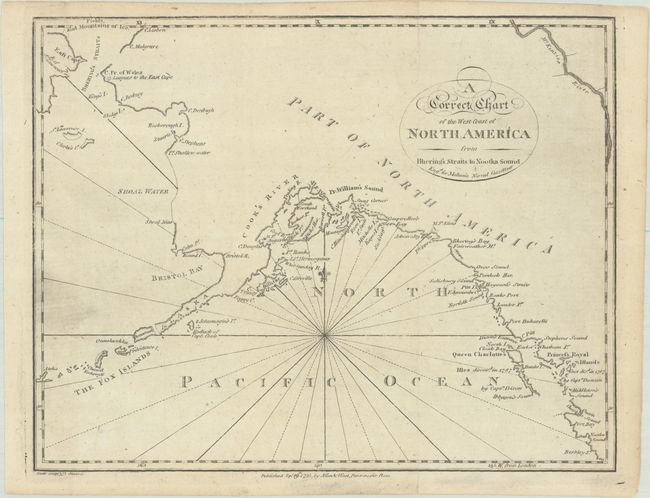
Auction 207, Lot 210
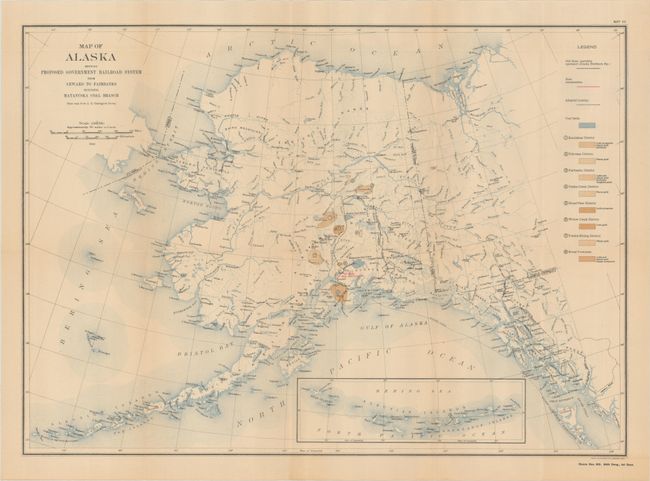
Subject: Alaska
Malham, John (Rev.)
A Correct Chart of the West Coast of North America from Bhering's Straits to Nootka Sound, 1795
Size: 9.7 x 7.6 inches (24.6 x 19.3 cm)
Estimate: $120 - $150
Unsold
Closed on 2/11/2026
Auction 207, Lot 211
Subject: Alaska
U.S. Gov't Printing Office
Reports of the Alaskan Engineering Commission for the Period from March 12, 1914 to December 31, 1915 Maps I-XVIII, 1916
Size: 6.4 x 9.3 inches (16.3 x 23.6 cm)
Estimate: $180 - $220
Atlas Volume of Alaska Railroad Project
Unsold
Closed on 2/11/2026
Auction 207, Lot 215
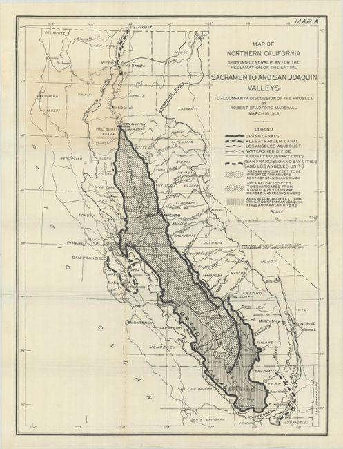
Subject: California
Map of Northern California Showing General Plan for the Reclamation of the Entire Sacramento and San Joaquin Valleys to Accompany a Discussion of the Problem, 1919
Size: 16.5 x 22.1 inches (41.9 x 56.1 cm)
Estimate: $180 - $220
Illustrates the Marshall Water Plan
Unsold
Closed on 2/11/2026
Auction 207, Lot 248
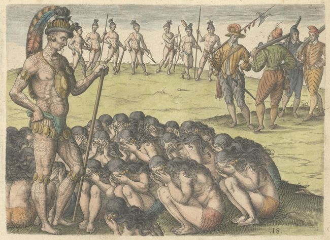
Subject: Florida, Natives
Bry, Theodore de
[How the Widows Petition Their Chief] Was die Weiber / Deren Manner im Krieg Umbfommen / vor Anspruch an den Konig Haben / oder von ihm Fordern, 1591
Size: 8.3 x 6 inches (21.1 x 15.2 cm)
Estimate: $240 - $300
Unsold
Closed on 2/11/2026
Auction 207, Lot 260
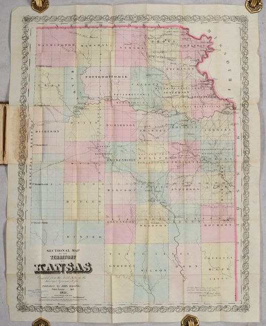
Subject: Kansas
Sectional Map of the Territory of Kansas Compiled from the Field Actes in the Surveyor General's Office, 1857
Size: 21.5 x 27.5 inches (54.6 x 69.9 cm)
Estimate: $950 - $1,200
Early Map of Kansas Territory
Unsold
Closed on 2/11/2026
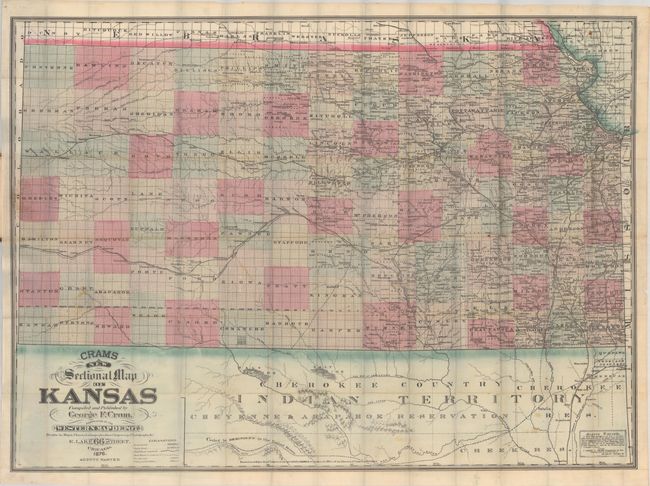
Auction 207, Lot 261
Subject: Kansas
Cram, George F. & Company
Crams New Sectional Map of Kansas, 1876
Size: 38.2 x 28.2 inches (97 x 71.6 cm)
Estimate: $450 - $550
Unsold
Closed on 2/11/2026
181 lots
Page 1 of 4


