Filtered by Category:Mapmaking(Show All Categories)
Articles
8 articles
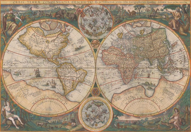
A Historical Survey of Color on Maps
This May 2026 article explains how color was used on maps in Europe since the invention of the printing press through the mid-nineteenth century. The article reviews why color was added to maps, how color was applied, the differences between hand color and printed color, and how the use of color evolved over time.
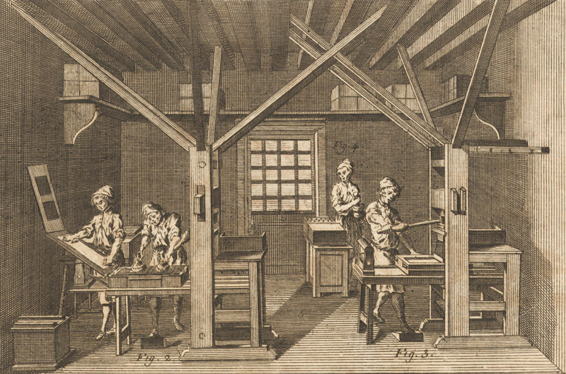
A Primer on European Printing & Papermaking
This January 2026 article reviews the basics of European printing and papermaking for maps, and how they evolved over the centuries. Focusing on the fifteenth to nineteenth centuries, the article reviews the three main types of printing (relief, intaglio, and planographic) and papermaking (handmade laid paper, wove paper, and wood pulp paper) in relation to printed antiquarian maps.
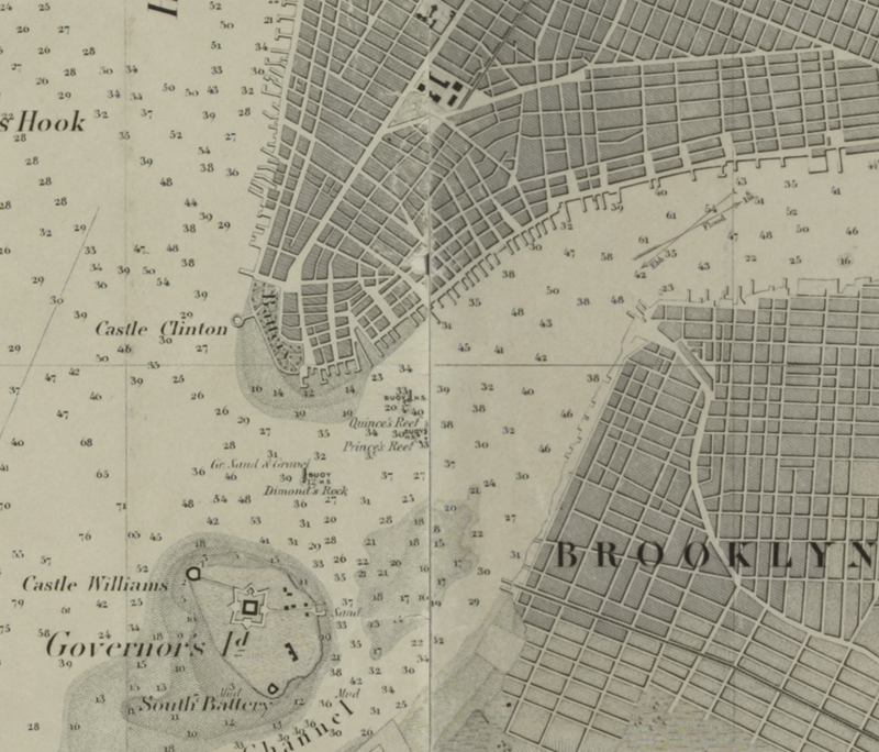
Establishing the U.S. Coast Survey
This May 2024 article examines the origins of the U.S. Coast Survey and its first 60 years of operation. It provides an overview of the first two Superintendents of the Survey, Ferdinand Hassler and Alexander Bache, and how their leadership shaped the functions and output of the Coast Survey.
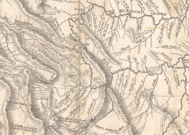
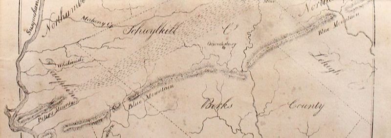
Lewis & Clark: Mapping the West
This May 2023 article gives an overview of the Lewis & Clark expedition through the western United States, with particular attention to the maps and cartographic tools they used on their journey.
A New View on the First Lithographed Map in the United States
This April 2021 article is by guest contributor Jim Kissko, founder of Camelot Books. This article makes the case for the first map that was lithographed and published in the United States.
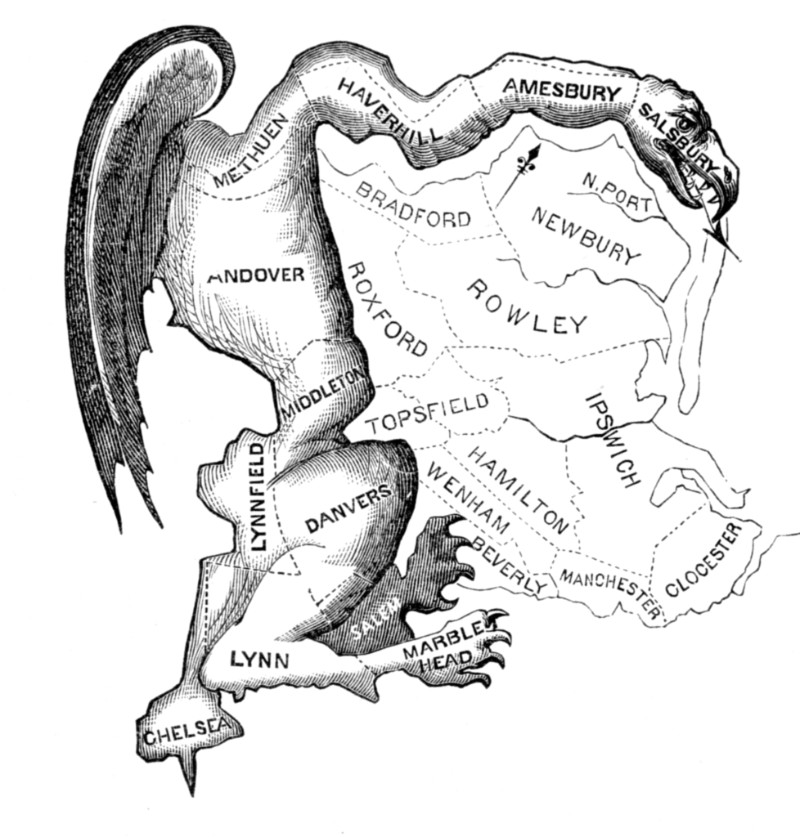
Map Manipulations: A Brief Perspective on Gerrymandering
This July 2017 article gives a brief history of gerrymandering - find out how it started and how it has evolved over time.
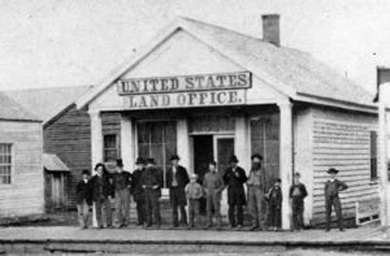
The Early United States Land System
This article from October 2016 gives a history of "The Early United States Land System."
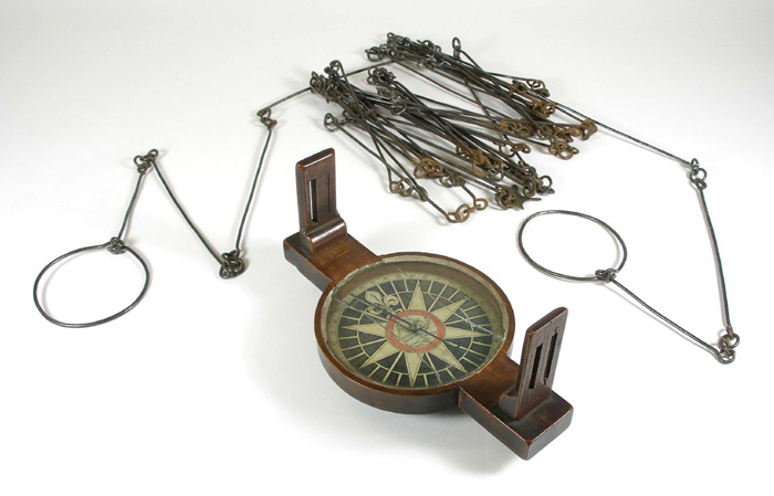
A Brief History of Surveying Tools in North America
This article from October 2015 overviews "A Brief History of Surveying Tools in North America."
8 articles