Filtered by Category:United States(Show All Categories)
Catalog Archive
36 lots
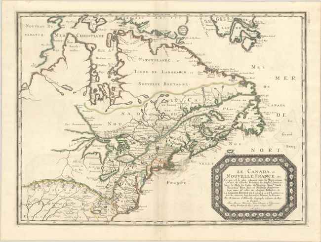
Auction 206, Lot 108
Subject: Colonial Eastern United States & Canada
Sanson/Mariette
Le Canada, ou Nouvelle France, &c. ce qui est le Plus Advance Vers le Septentrion est Tire de Diverses Relations des Anglois, Danois, &c..., 1656
Size: 21.4 x 15.9 inches (54.4 x 40.4 cm)
Estimate: $4,000 - $4,750
Keystone Map for Great Lakes Collections
Unsold
Closed on 11/12/2025
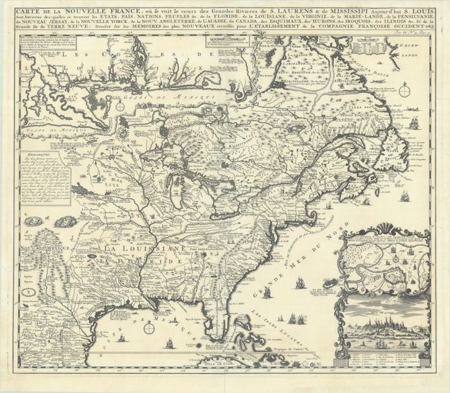
Auction 206, Lot 109
Subject: Colonial Eastern United States & Canada
Chatelain, Henry Abraham
Carte de la Nouvelle France, ou se Voit le Cours des Grandes Rivieres de S. Laurens & de Mississipi Aujour d'hui S. Louis, aux Environs des-quelles se Trouvent les Etats, Pais, Nations, Peuples, &c. de la Floride, de la Louisiane, de la Virginie..., 1719
Size: 19.3 x 16.7 inches (49 x 42.4 cm)
Estimate: $2,000 - $2,300
One of the Most Informative 18th Century Maps of the French Possessions in North America
Unsold
Closed on 11/12/2025
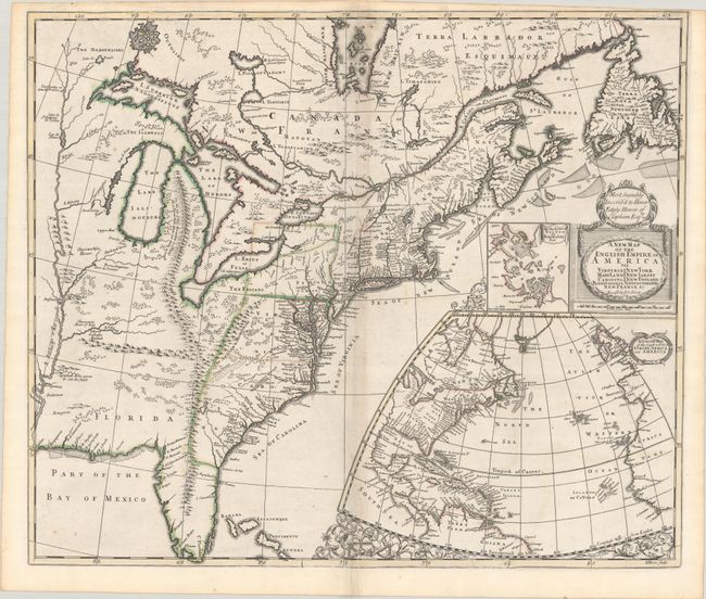
Auction 206, Lot 110
Subject: Colonial Eastern United States & Canada
Senex, John
A New Map of the English Empire in America viz Virginia Maryland Carolina Pennsylvania New York New Iarsey New England Newfoundland New France &c., 1719
Size: 22.9 x 19.6 inches (58.2 x 49.8 cm)
Estimate: $2,400 - $3,000
Senex's Important Map of the American Colonies
Unsold
Closed on 11/12/2025
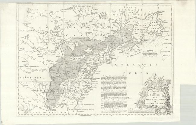
Auction 206, Lot 112
Subject: Colonial Eastern United States & Canada
Lodge, John
A Map of the British and French Settlements in North America, 1755
Size: 15.2 x 10.9 inches (38.6 x 27.7 cm)
Estimate: $550 - $700
Unsold
Closed on 11/12/2025
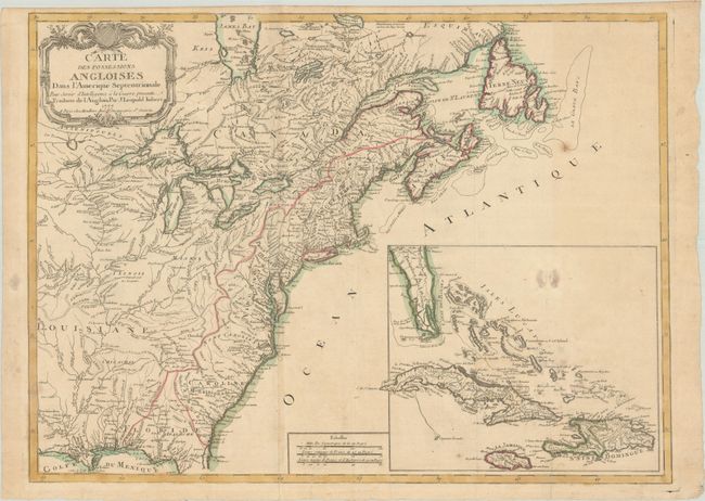
Auction 206, Lot 115
Subject: Colonial Eastern United States & Canada
Imbert, J. Leopold
Carte des Possessions Angloises dans l'Amerique Septentrionale pour Servir d'Intelligence a la Guerre Presente Traduite de l'Anglois, 1777
Size: 29 x 21.3 inches (73.7 x 54.1 cm)
Estimate: $1,800 - $2,200
First Edition of Important Revolutionary War Map
Unsold
Closed on 11/12/2025
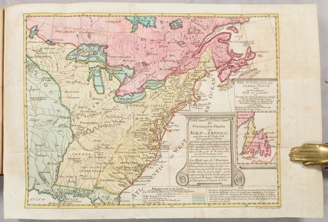
Auction 206, Lot 117
Subject: Eastern United States & Canada
Sotzmann, Daniel Friedrich
[Map in Book] Die Vereinigten Staaten von Nord-America... / Les Etats Unis de l'Amerique Septentrionale... [in] Geschichte der Revolution von Nord-America..., 1788
Size: 10.1 x 7.7 inches (25.7 x 19.6 cm)
Estimate: $700 - $850
Rare, Multi-Lingual Reduced Version of Faden's Map of 1783
Unsold
Closed on 11/12/2025
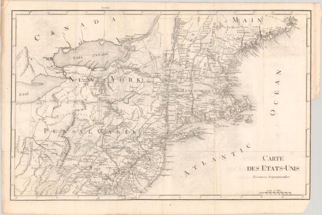
Auction 206, Lot 119
Subject: Eastern United States & Canada
Rochefoucald Liancourt, Francois Alexander
[8 Volumes] Voyage dans les Etats-Unis d'Amerique, Fait en 1795, 1796 et 1797, 1799
Size: 5 x 8.2 inches (12.7 x 20.8 cm)
Estimate: $1,200 - $1,500
Unsold
Closed on 11/12/2025
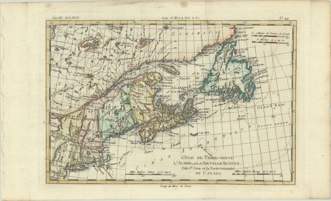
Auction 206, Lot 122
Subject: Colonial Northeastern United States & Canada
Bonne, Rigobert
L'Isle de Terre-Neuve l'Acadie, ou la Nouvelle Ecosse, l'Isle St. Jean et la Partie Orientale du Canada, 1780
Size: 12.5 x 8.3 inches (31.8 x 21.1 cm)
Estimate: $140 - $170
Unsold
Closed on 11/12/2025
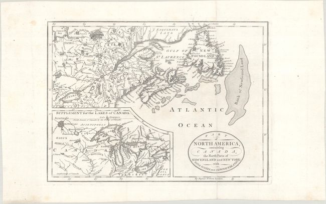
Auction 206, Lot 123
Subject: Northeastern United States & Canada, Great Lakes
Part of North America, Containing Canada, the North Parts of New England and New York; with Nova Scotia and Newfoundland, 1794
Size: 11.3 x 8.2 inches (28.7 x 20.8 cm)
Estimate: $160 - $190
Unsold
Closed on 11/12/2025
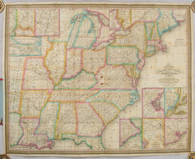
Auction 206, Lot 143
Subject: Eastern United States
Mitchell, Samuel Augustus
Mitchell's Travellers Guide Through the United States. A Map of the Roads, Distances, Steam Boat & Canal Routes &c., 1834
Size: 21.9 x 17.4 inches (55.6 x 44.2 cm)
Estimate: $600 - $750
Unsold
Closed on 11/12/2025
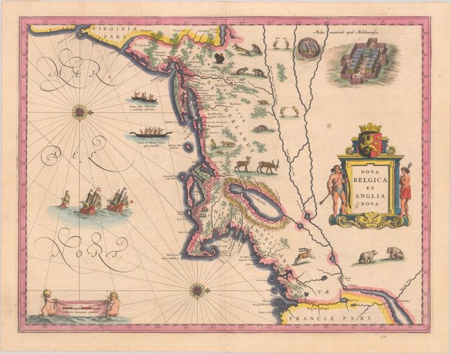
Auction 206, Lot 147
Subject: Colonial New England & Mid-Atlantic United States
Blaeu, (Family)
Nova Belgica et Anglia Nova, 1638
Size: 19.9 x 15.3 inches (50.5 x 38.9 cm)
Estimate: $1,500 - $1,800
Important Map of Colonial New England and the Mid-Atlantic
Unsold
Closed on 11/12/2025
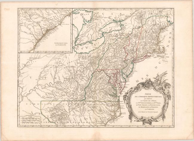
Auction 206, Lot 149
Subject: Colonial New England & Mid-Atlantic United States
Robert de Vaugondy, Didier
Partie de l'Amerique Septentrionale, qui Comprend le Cours de l'Ohio, la Nlle. Angleterre, la Nlle York, le New Jersey, la Pensylvanie, le Maryland la Virginie, la Caroline, 1768
Size: 24.6 x 18.8 inches (62.5 x 47.8 cm)
Estimate: $550 - $700
Unsold
Closed on 11/12/2025
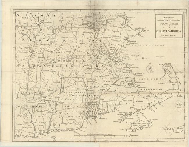
Auction 206, Lot 152
Subject: Colonial New England United States
Anon.
A New and Accurate Map of the Present Seat of War in North America, from a Late Survey, 1775
Size: 15 x 11.4 inches (38.1 x 29 cm)
Estimate: $400 - $475
Unsold
Closed on 11/12/2025
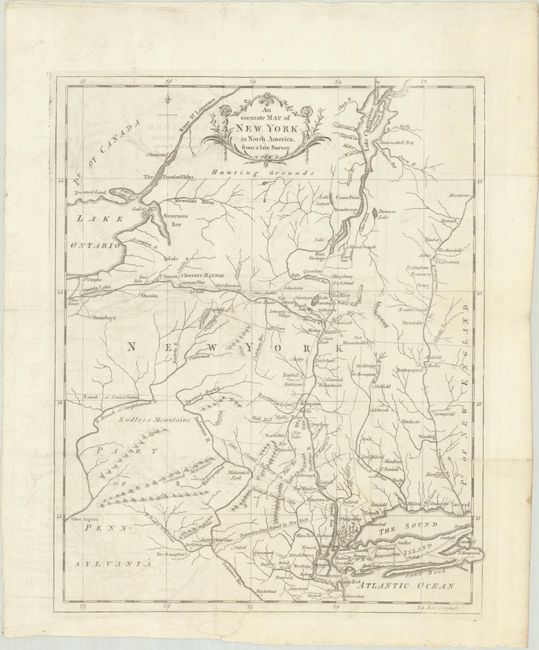
Auction 206, Lot 153
Subject: Colonial New England United States, New York
Anon.
An Accurate Map of New York in North America, from a Late Survey, 1780
Size: 10.8 x 13.3 inches (27.4 x 33.8 cm)
Estimate: $200 - $230
Unsold
Closed on 11/12/2025
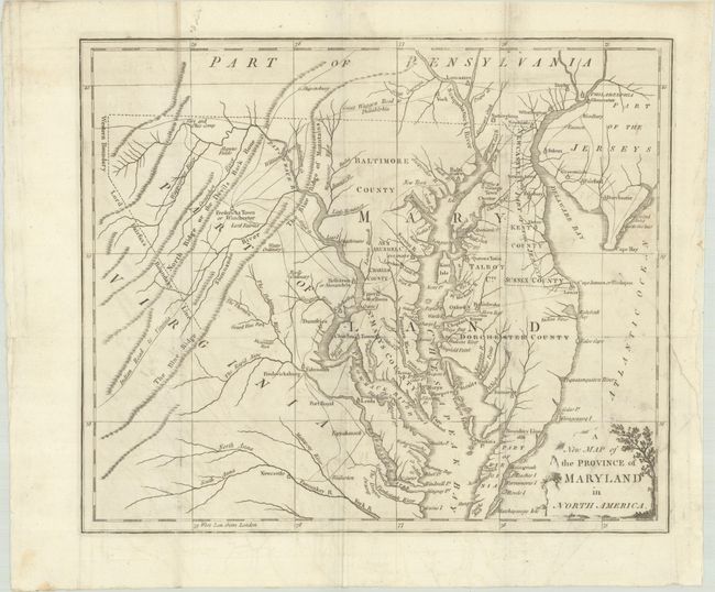
Auction 206, Lot 158
Subject: Colonial Mid-Atlantic United States
Anon.
A New Map of the Province of Maryland in North America, 1780
Size: 13.1 x 11 inches (33.3 x 27.9 cm)
Estimate: $500 - $650
Unsold
Closed on 11/12/2025
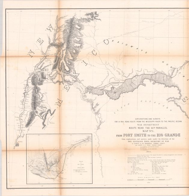
Auction 206, Lot 178
Subject: Western United States
Whipple, Amiel Weekes
[Lot of 2] Map No. 1. From Fort Smith to the Rio Grande from Explorations and Surveys Made Under the Direction of the Hon. Jefferson Davis, Secretary of War [and] Map No. 2. From the Rio Grande to the Pacific Ocean..., 1853-54
Size: 50.7 x 22.1 inches (128.8 x 56.1 cm)
Estimate: $350 - $425
Unsold
Closed on 11/12/2025
Auction 206, Lot 183
Subject: Western United States
Hayden, Ferdinand Vandeveer
[Lot of 2] Geological Map of Portions of Wyoming, Idaho and Utah [and] Parts of Western Wyoming, Southeastern Idaho and Northeastern Utah, 1883
Size: See Description
Estimate: $180 - $220
Colorful Maps from Hayden’s Geological and Geographical Survey of the Territories
Unsold
Closed on 11/12/2025
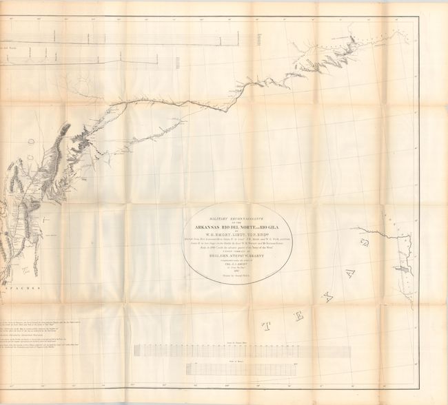
Auction 206, Lot 190
Subject: Southwestern United States
Emory, William Hemsley
[Map with Report] Military Reconnaissance of the Arkansas Rio del Norte and Rio Gila... [with] Notes of a Military Reconnoissance, from Fort Leavenworth, in Missouri, to San Diego, in California..., 1848
Size: 68.3 x 30 inches (173.5 x 76.2 cm)
Estimate: $350 - $425
Unsold
Closed on 11/12/2025
Auction 206, Lot 196
Subject: Southeastern Alaska
La Perouse, Comte Jean F. Galoup, de
Plan du Port des Francais sur la Cote du Nord-Ouest de l'Amerique, par 58°37' de Latitude Nord et 139°50' de Longitude Occidentale, Decouverte le 2 Juillet 1786, par les Fregates Francaise la Boussole et l'Astrolabe, 1797
Size: 27.3 x 19.7 inches (69.3 x 50 cm)
Estimate: $200 - $230
Unsold
Closed on 11/12/2025
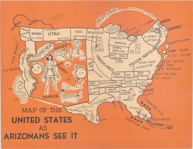
Auction 206, Lot 197
Subject: Arizona, United States
Map of the United States as Arizonans See It, 1947
Size: 10.7 x 8.3 inches (27.2 x 21.1 cm)
Estimate: $100 - $130
Unsold
Closed on 11/12/2025
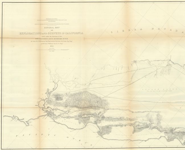
Auction 206, Lot 200
Subject: California
Williamson, R. S. (Lt.)
General Map of Explorations and Surveys in California Made Under the Direction of the Hon. Jefferson Davis Secretary of War..., 1853
Size: 72.4 x 24.4 inches (183.9 x 62 cm)
Estimate: $275 - $350
Unsold
Closed on 11/12/2025
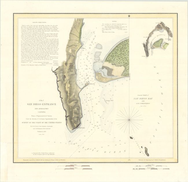
Auction 206, Lot 213
Subject: San Diego, California
U.S. Coast Survey
San Diego Entrance and Approaches California... [on sheet with] General Sketch of San Diego Bay and Los Coronados, 1851
Size: 13 x 11.8 inches (33 x 30 cm)
Estimate: $140 - $170
Unsold
Closed on 11/12/2025
Auction 206, Lot 236
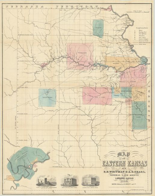
Subject: Eastern Kansas
Jewett & Co., J. P.
Map of Eastern Kansas, 1856
Size: 21.1 x 26.8 inches (53.6 x 68.1 cm)
Estimate: $1,400 - $1,700
Early Map of "Bleeding Kansas"
Unsold
Closed on 11/12/2025
Auction 206, Lot 247
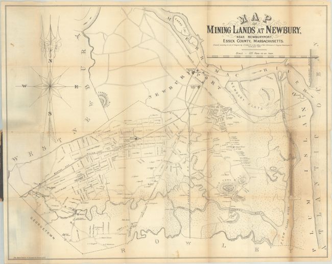
Subject: Newburyport, Massachusetts
Little, Jr., N.
Map of Mining Lands at Newbury, Near Newburyport, Essex County, Massachusetts, 1875
Size: 22.5 x 17.8 inches (57.2 x 45.2 cm)
Estimate: $180 - $220
Unsold
Closed on 11/12/2025
Auction 206, Lot 249
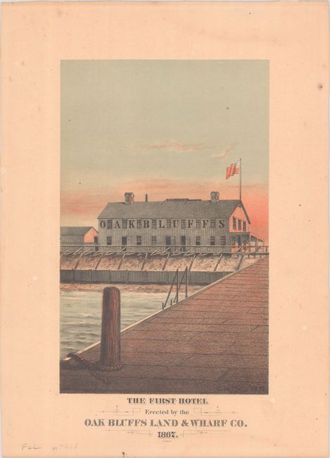
Subject: Martha's Vineyard, Massachusetts
The First Hotel Erected by the Oak Bluffs Land & Wharf Co. 1867, 1878
Size: 6.4 x 10.3 inches (16.3 x 26.2 cm)
Estimate: $150 - $180
Martha’s Vineyard First Hotel
Unsold
Closed on 11/12/2025
Auction 206, Lot 257
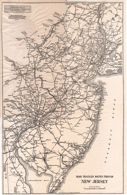
Subject: New Jersey
[Map in Guide] Main Traveled Routes Through New Jersey [in] Motor Highways of New Jersey, 1915
Size: 9.2 x 14.4 inches (23.4 x 36.6 cm)
Estimate: $140 - $170
Unrecorded Early New Jersey Motor Highways Tour Guide and Map
Unsold
Closed on 11/12/2025
Auction 206, Lot 260
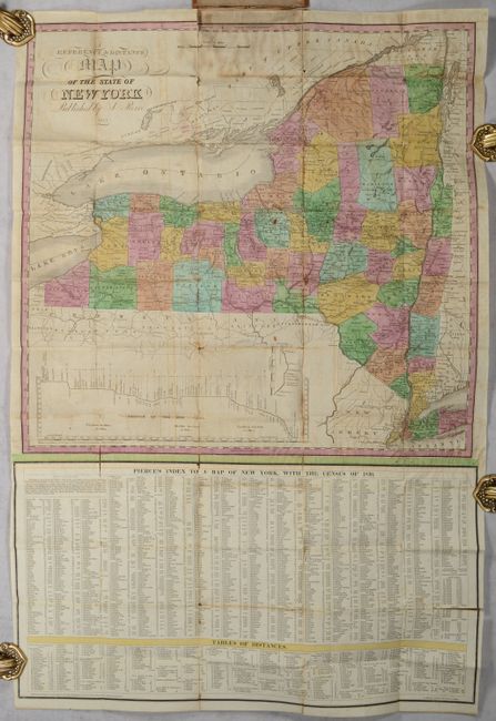
Subject: New York
Pierce, Justin
A Reference & Distance Map of the State of New York, 1831
Size: 19.5 x 19.1 inches (49.5 x 48.5 cm)
Estimate: $250 - $325
Unsold
Closed on 11/12/2025
Auction 206, Lot 261
Subject: New York
Colton, G.W. & C.B.
Colton's Railroad & Township Map of the State of New York, with Parts of the Adjoining States & Canada, 1871
Size: 28.4 x 25.2 inches (72.1 x 64 cm)
Estimate: $140 - $170
Unsold
Closed on 11/12/2025
Auction 206, Lot 266
Subject: New York & New Jersey
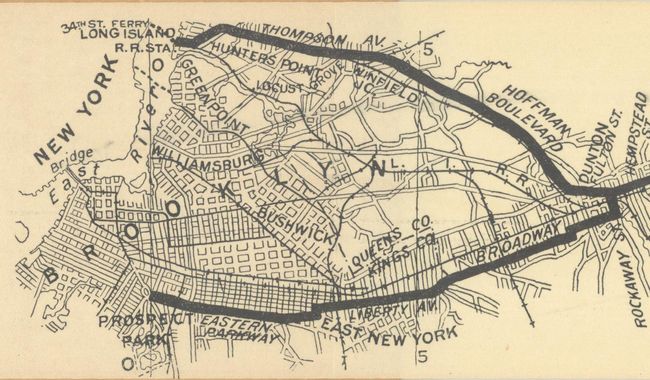
[Lot of 3] Waring's Road Maps. Route No. 16 - New York to Oyster Bay [and] Route No. 5. - New York to Lake Hopatcong [and] Route No. 14. New York to Greenwood Lake , 1897
Size: 21 x 2.8 inches (53.3 x 7.1 cm)
Estimate: $150 - $180
Unrecorded Early Spalding Bicycle Road Pocket Maps
Unsold
Closed on 11/12/2025
Auction 206, Lot 273
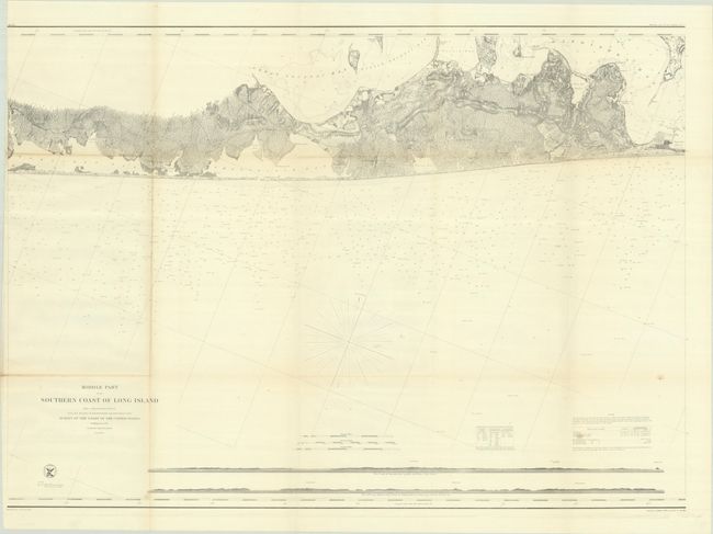
Subject: Long Island, New York
U.S. Coast Survey
Middle Part of the Southern Coast of Long Island from a Trigonometrical Survey..., 1857
Size: 34.6 x 24.8 inches (87.9 x 63 cm)
Estimate: $250 - $325
Unsold
Closed on 11/12/2025
Auction 206, Lot 278
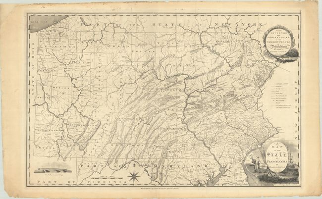
Subject: Pennsylvania
Howell, Reading
A Map of the State of Pennsylvania, 1811
Size: 33.8 x 21.4 inches (85.9 x 54.4 cm)
Estimate: $1,000 - $1,300
One of the Most Important Maps of the State
Unsold
Closed on 11/12/2025
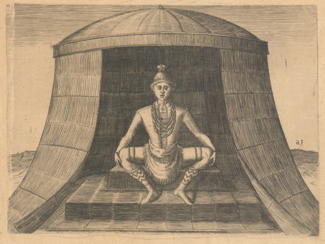
Auction 206, Lot 290
Subject: Virginia, Natives
Bry, Theodore de
[The Idol Kewas] Idolum Kiwasa, 1590
Size: 8.5 x 6.3 inches (21.6 x 16 cm)
Estimate: $180 - $220
Unsold
Closed on 11/12/2025
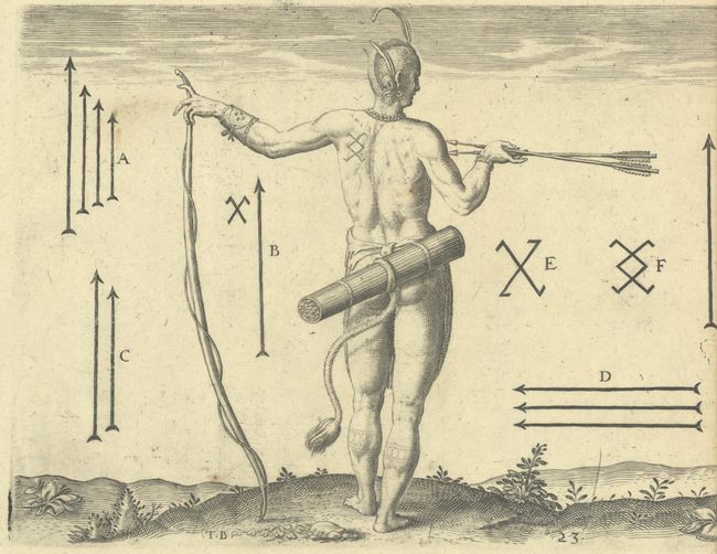
Auction 206, Lot 291
Subject: Virginia, Natives
Bry, Theodore de
[Lot of 2 - The Marks of the Chief Men of Virginia & How the Chief Ladies of Dasamonquepeio Carry their Children] Von Etlichen der Furnembsten Herrn in Virginia Marckzeichen [and] Wie die Weiber Dasamonquepeuc die Kinder Zutragen Pflegen, 1620
Size: 8.3 x 6.3 inches (21.1 x 16 cm)
Estimate: $200 - $230
Unsold
Closed on 11/12/2025
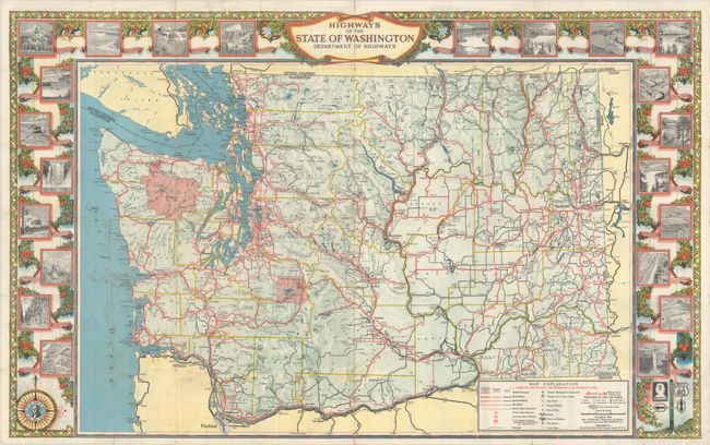
Auction 206, Lot 293
Subject: Washington
Rand McNally & Co.
Highways of the State of Washington Department of Highways, 1949
Size: 34 x 21.1 inches (86.4 x 53.6 cm)
Estimate: $180 - $220
Unsold
Closed on 11/12/2025
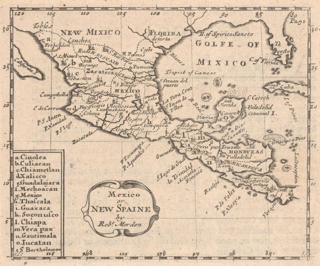
Auction 206, Lot 302
Subject: Southern United States, Mexico, & Central America
Morden, Robert
Mexico or New Spaine, 1680
Size: 5.1 x 4.2 inches (13 x 10.7 cm)
Estimate: $300 - $375
Unsold
Closed on 11/12/2025
Auction 206, Lot 307
Subject: Southwestern United States & Mexico
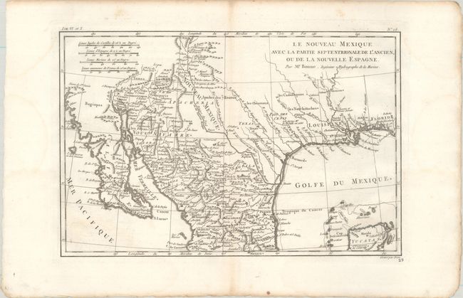
Bonne, Rigobert
Le Nouveau Mexique avec la Partie Septentrionale de l'Ancien, ou de la Nouvelle Espagne, 1780
Size: 12.4 x 8.3 inches (31.5 x 21.1 cm)
Estimate: $110 - $140
Unsold
Closed on 11/12/2025
36 lots


