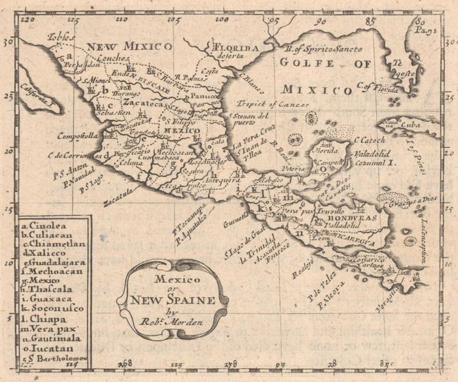
Subject: Southern United States, Mexico, & Central America
Period: 1680 (circa)
Publication: Geography Rectified...
Color: Black & White
Size:
5.1 x 4.2 inches
13 x 10.7 cm
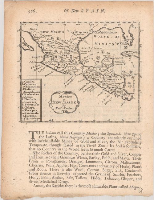
This scarce copper engraved map spans from colonial New Mexico and Florida south to Veraguas, Panama. It provides good detail with each country delineated and named as well as major cities and rivers. Mexico City is shown adjacent to its lake. The map extends to show the vicinity of present-day Texas, the Gulf Coast, and all of Florida, which stretches as far west as C. Blanco, near the Texas-Mexico border. The Baja peninsula is erroneously labeled California I. Legend at left indexes to all Mexican states on the map. According to McLaughlin, this is State I with page "576" at upper left above neatline. Published by John Seller. On a sheet of English text measuring 6.3 x 8.1".
References: King (3rd ed.) #1680 Morden; McLaughlin #97; Shirley (BL Atlases) T.MORD-2a #56.
Condition: A
A nice impression with light toning outside map image.