Filtered by Category:United States(Show All Categories)
Showing results for:Auction 181
Catalog Archive
224 lots
Page 1 of 5
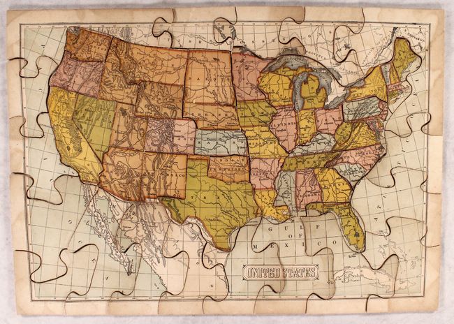
Auction 181, Lot 49
Subject: Cartographic Miscellany, Puzzle
McLoughlin Bros.
Dissected Map of the United States, 1880
Size: 19.7 x 13.5 inches (50 x 34.3 cm)
Estimate: $200 - $230
Sold for: $210
Closed on 2/10/2021
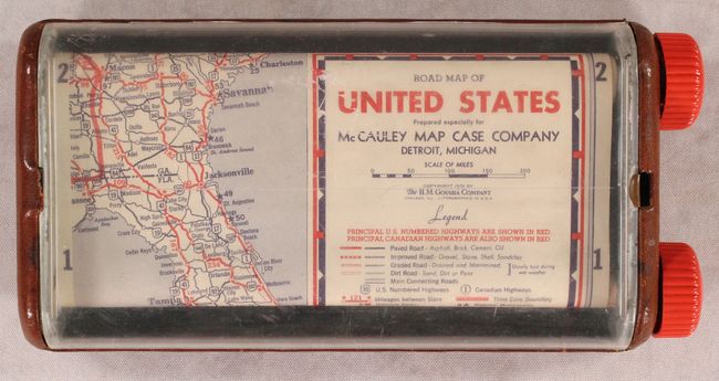
Auction 181, Lot 53
Subject: Cartographic Miscellany, United States
Road Map of United States, 1939
Size: 8 x 4 inches (20.3 x 10.2 cm)
Estimate: $300 - $375
A Most Unusual Road Map
Sold for: $230
Closed on 2/10/2021
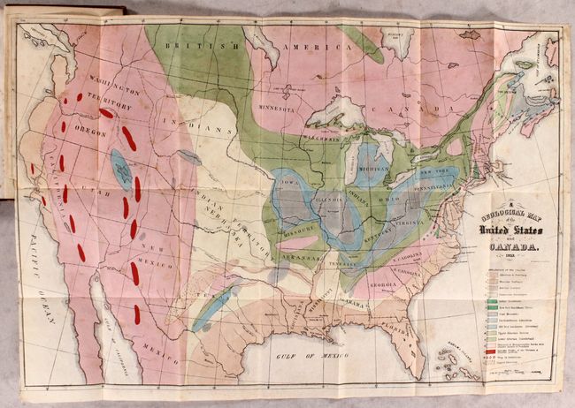
Auction 181, Lot 97
Subject: United States & Canada, World
Hitchcock, Edward
[Maps with Report] A Geological Map of the United States and Canada [and] Outline of the Geology of the Globe, 1853
Size: 23.3 x 18.4 inches (59.2 x 46.7 cm)
Estimate: $800 - $950
Includes Hitchcock’s First Geological Map of the United States
Sold for: $400
Closed on 2/10/2021
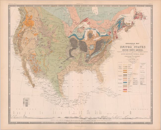
Auction 181, Lot 98
Subject: United States & Canada
Rogers, Henry Darwin
Geological Map of the United States and British North America, Constructed from the Most Recent Documents & Unpublished Materials..., 1855
Size: 24.2 x 20 inches (61.5 x 50.8 cm)
Estimate: $350 - $425
Sold for: $1,700
Closed on 2/10/2021
Auction 181, Lot 99
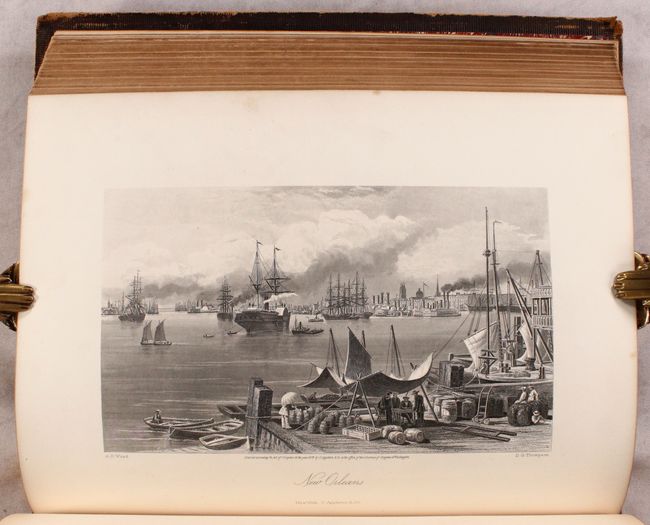
Subject: United States & Canada
Bryant, William C.
[2 Volumes] Picturesque America; or, the Land We Live In..., 1872-74
Size: 10.4 x 13.2 inches (26.4 x 33.5 cm)
Estimate: $400 - $475
Sold for: $550
Closed on 2/10/2021
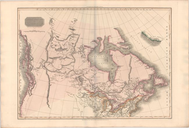
Auction 181, Lot 100
Subject: Canada & Northern United States
Pinkerton, John
British Possessions in North America, 1814
Size: 27.1 x 19.6 inches (68.8 x 49.8 cm)
Estimate: $400 - $475
Sold for: $250
Closed on 2/10/2021
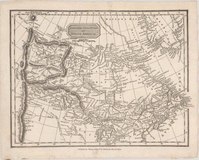
Auction 181, Lot 101
Subject: Canada & Northern United States
Kelly, Thomas
British Colonies in North America, 1815
Size: 9.9 x 7.4 inches (25.1 x 18.8 cm)
Estimate: $160 - $190
Sold for: $80
Closed on 2/10/2021
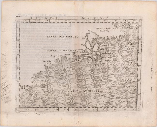
Auction 181, Lot 102
Subject: Eastern United States & Canada
Gastaldi, Giacomo
Tierra Nueva, 1548
Size: 6.7 x 4.9 inches (17 x 12.4 cm)
Estimate: $2,750 - $3,500
The First Published Map Devoted to the East Coast of North America
Sold for: $3,250
Closed on 2/10/2021
Auction 181, Lot 103
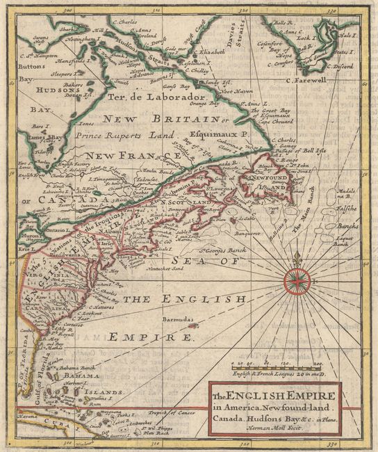
Subject: Colonial Eastern United States & Canada
Moll, Herman
The English Empire in America,Newfoundland. Canada. Hudsons Bay. &c. in Plano, 1701
Size: 7 x 8.4 inches (17.8 x 21.3 cm)
Estimate: $300 - $375
Sold for: $375
Closed on 2/10/2021
Auction 181, Lot 104
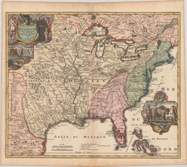
Subject: Colonial Eastern United States & Canada
Homann, Johann Baptist
Amplissimae Regionis Mississipi seu Provinciae Ludovicianae a R.P. Ludovico Hennepin Francisc Miss in America Septentrionali Anno 1687..., 1720
Size: 22.9 x 19.1 inches (58.2 x 48.5 cm)
Estimate: $2,400 - $3,000
Striking Map of Colonial America with Bison Vignette
Sold for: $1,700
Closed on 2/10/2021
Auction 181, Lot 105
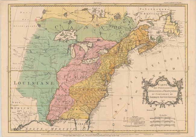
Subject: Colonial Eastern United States & Canada
Palairet, Jean
Carte des Possessions Angloises & Francoises du Continent de l'Amerique Septentrionale, 1755
Size: 22.7 x 16.3 inches (57.7 x 41.4 cm)
Estimate: $2,200 - $2,500
Important Map of French and English Territorial Claims at the Outset of the French & Indian War
Sold for: $2,000
Closed on 2/10/2021
Auction 181, Lot 106
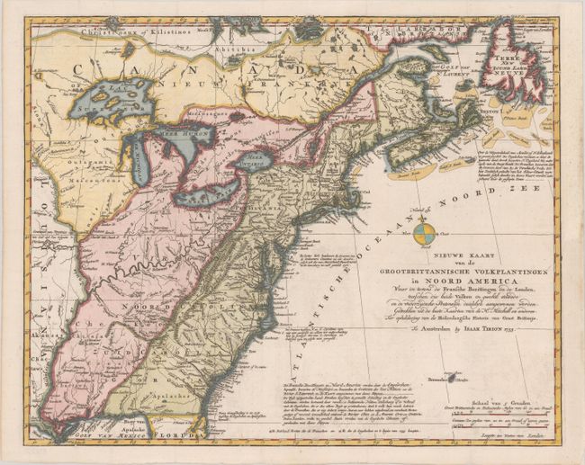
Subject: Colonial Eastern United States & Canada
Tirion, Isaac
Nieuwe Kaart van de Grootbrittannische Volkplantingen in Noord America waar in Tevens de Fransche Bezittingen en de Landen..., 1755
Size: 18 x 14.5 inches (45.7 x 36.8 cm)
Estimate: $600 - $750
Sold for: $650
Closed on 2/10/2021
Auction 181, Lot 107
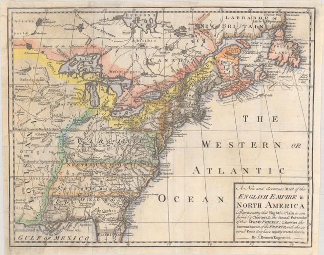
Subject: Colonial Eastern United States & Canada
Bennett, Richard
A New and Accurate Map of the English Empire in North America Representing Their Rightful Claim as Confirm'd by Charters, & the Formal Surrender of Their Indian Friends..., 1758
Size: 12.5 x 9.9 inches (31.8 x 25.1 cm)
Estimate: $800 - $950
Sold for: $600
Closed on 2/10/2021
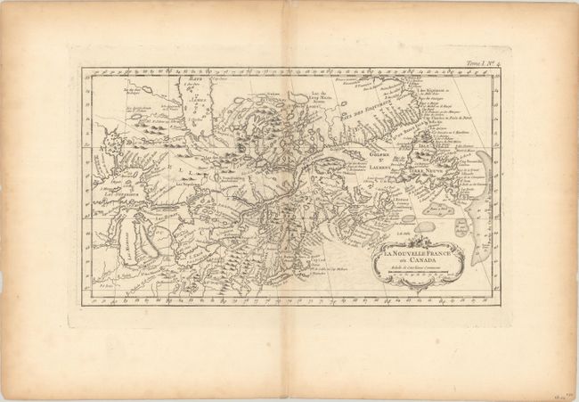
Auction 181, Lot 108
Subject: Colonial Northeastern United States & Canada
Bellin, Jacques Nicolas
La Nouvelle France ou Canada, 1764
Size: 13.8 x 7.8 inches (35.1 x 19.8 cm)
Estimate: $220 - $250
Sold for: $120
Closed on 2/10/2021
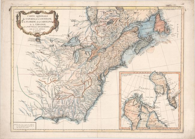
Auction 181, Lot 109
Subject: Colonial Eastern United States & Canada
D'Anville/Santini
Carte Generale du Canada, de la Louisiane, de la Floride, de la Caroline de la Virginie, de la Nouvelle Angleterre Etc., 1776
Size: 25.7 x 18.8 inches (65.3 x 47.8 cm)
Estimate: $475 - $600
Sold for: $425
Closed on 2/10/2021
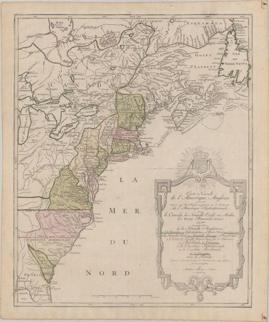
Auction 181, Lot 110
Subject: Colonial Eastern United States & Canada
Lotter, Mathias Albrecht
Carte Nouvelle de l'Amerique Angloise Contenant tout ce que les Anglois Possedent sur le Continent de l'Amerique Septentrionale Savoir le Canada, la Nouvelle Ecosse ou Acadie, les Treize Provinces Unies..., 1776
Size: 19.3 x 23.5 inches (49 x 59.7 cm)
Estimate: $1,100 - $1,400
Sold for: $600
Closed on 2/10/2021
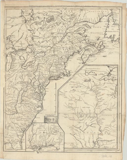
Auction 181, Lot 111
Subject: Eastern United States & Canada
Le Rouge, George Louis
Carte d'une Partie de l'Amerique Septentrionale, pour Servir a l Histoire de la Derniere Guerre, 1787
Size: 19.5 x 24.3 inches (49.5 x 61.7 cm)
Estimate: $900 - $1,100
Sold for: $575
Closed on 2/10/2021
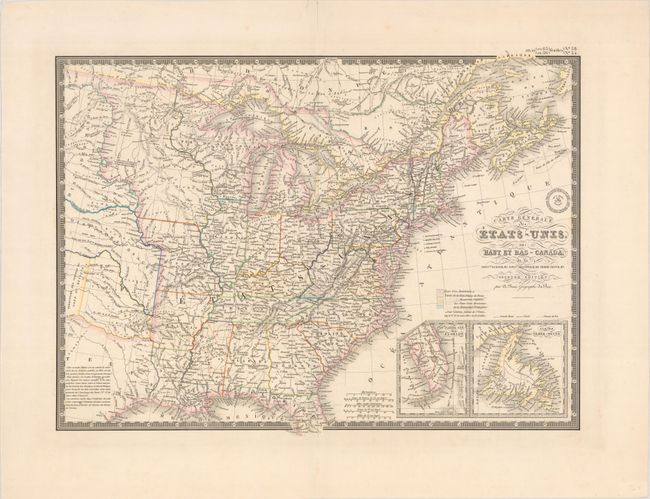
Auction 181, Lot 112
Subject: Eastern United States & Canada, Texas
Brue, Adrien Hubert
Carte Generale des Etats-Unis, des Haut et Bas-Canada, de la Nouvle. Ecosse, du Nouvau. Brunswick, de Terre-Neuve, &a. Seconde Edition, 1843
Size: 20.1 x 14.8 inches (51.1 x 37.6 cm)
Estimate: $200 - $230
Sold for: $200
Closed on 2/10/2021
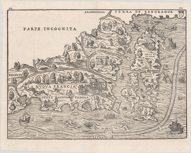
Auction 181, Lot 113
Subject: Colonial Northeastern United States & Canada
Gastaldi/Ramusio
La Nuova Francia, 1606
Size: 14.6 x 10.6 inches (37.1 x 26.9 cm)
Estimate: $3,500 - $4,250
The First Printed Map to Focus on New England and New France
Sold for: $2,750
Closed on 2/10/2021
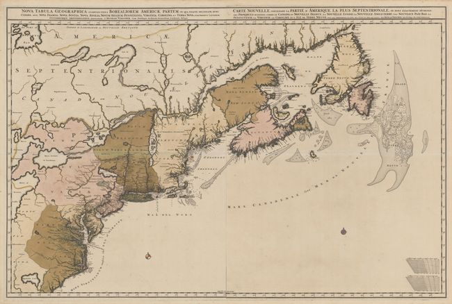
Auction 181, Lot 114
Subject: Colonial Northeastern United States & Canada
Visscher, Nicolas
[Lot of 2] Nova Tabula Geographica Complectens Borealiorem Americae Partem... [and] Carte Nouvelle Contenant la Partie d'Amerique la Plus Septentrionale, ou sont Exactement Decrites les Provinces..., 1696
Size: 18.6 x 23.3 inches (47.2 x 59.2 cm)
Estimate: $4,000 - $5,000
Very Rare First State in Full Contemporary Color
Sold for: $2,750
Closed on 2/10/2021
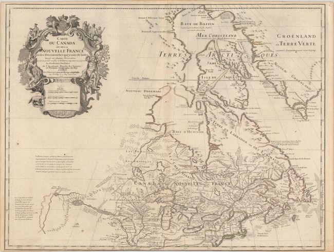
Auction 181, Lot 115
Subject: Colonial Northeastern United States & Canada, Great Lakes
Delisle, Guillaume
Carte du Canada ou de la Nouvelle France et des Decouvertes qui y ont ete Faites Dressee sur Plusieurs Observations et sur un Grand Nombre de Relations Imprimees ou Manuscrites, 1703
Size: 25.6 x 19.6 inches (65 x 49.8 cm)
Estimate: $1,400 - $1,700
Delisle's Seminal Map of Canada and the Great Lakes
Sold for: $850
Closed on 2/10/2021
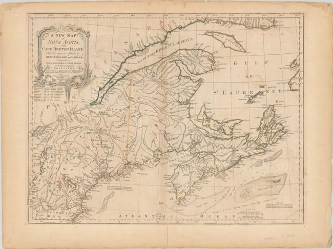
Auction 181, Lot 116
Subject: Colonial Northeastern United States & Canada
Jefferys/Sayer & Bennett
A New Map of Nova Scotia, and Cape Breton Island with the Adjacent Parts of New England and Canada, Composed from a Great Number of Actual Surveys..., 1775
Size: 24.2 x 18.5 inches (61.5 x 47 cm)
Estimate: $475 - $600
Sold for: $350
Closed on 2/10/2021
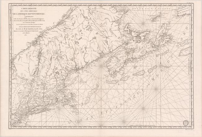
Auction 181, Lot 117
Subject: Colonial Northeastern United States & Canada
Sartine
Carte Reduite des Cotes Orientales de l'Amerique Septentrionale. Contenant Celles des Provinces de New-York et de la Nouvelle Angleterre, Celle de l'Acadie ou Nouvelle Ecosse..., 1780
Size: 34.3 x 23.1 inches (87.1 x 58.7 cm)
Estimate: $1,000 - $1,300
Sold for: $750
Closed on 2/10/2021
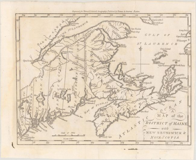
Auction 181, Lot 118
Subject: Northeastern United States & Canada
Morse, Jedidiah (Rev.)
A Map of the District of Maine with New Brunswick & Nova Scotia, 1796
Size: 9.1 x 6.9 inches (23.1 x 17.5 cm)
Estimate: $120 - $150
Sold for: $90
Closed on 2/10/2021
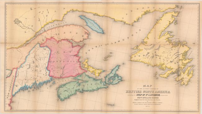
Auction 181, Lot 119
Subject: Northeastern United States & Canada
Andrews, Israel D.
Map of the Eastern Portion of British North America Including the Gulf of St. Lawrence, and Part of the New England States Compiled from the Latest Surveys and Charts, 1853
Size: 45.9 x 25.8 inches (116.6 x 65.5 cm)
Estimate: $180 - $220
Sold for: $70
Closed on 2/10/2021
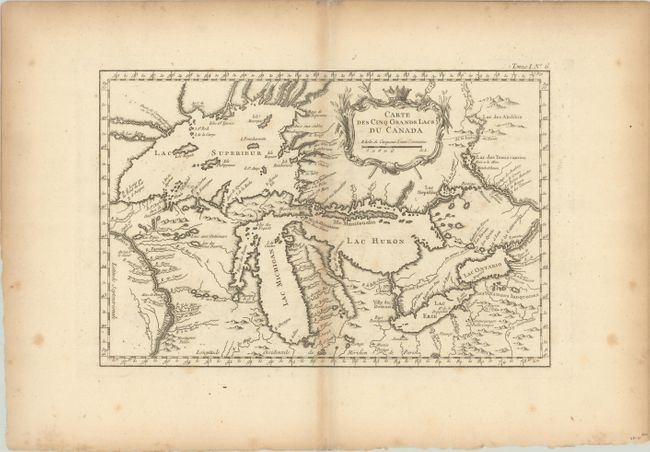
Auction 181, Lot 120
Subject: Colonial Great Lakes
Bellin, Jacques Nicolas
Carte des Cinq Grands Lacs du Canada, 1764
Size: 13.1 x 8.6 inches (33.3 x 21.8 cm)
Estimate: $450 - $550
Sold for: $450
Closed on 2/10/2021
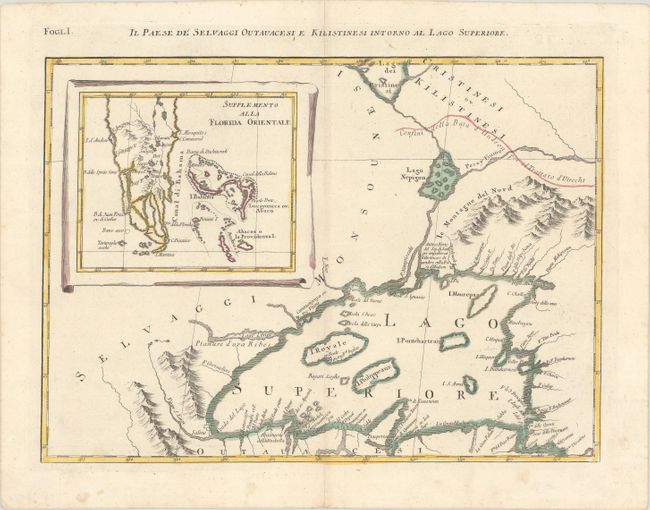
Auction 181, Lot 121
Subject: Colonial Great Lakes, Florida
Zatta, Antonio
Il Paese de Selvaggi Outauacesi, e Kilistinesi Intorno al Lago Superiore, 1785
Size: 16.7 x 12.1 inches (42.4 x 30.7 cm)
Estimate: $250 - $325
Sold for: $150
Closed on 2/10/2021
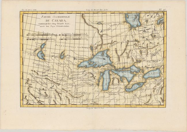
Auction 181, Lot 122
Subject: Colonial Great Lakes
Bonne, Rigobert
Partie Occidentale du Canada, Contenant les Cinq Grands Lac, avec les Pays Circonvoisins, 1790
Size: 12.4 x 8.2 inches (31.5 x 20.8 cm)
Estimate: $220 - $250
Sold for: $150
Closed on 2/10/2021
Auction 181, Lot 123
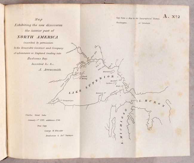
Subject: Central United States & Canada
U.S. Government
[17 Maps in Report] Boundary Between the United States and Great Britain. Message from the President of the United States..., 1838
Size: 5.8 x 9.1 inches (14.7 x 23.1 cm)
Estimate: $275 - $350
Sold for: $140
Closed on 2/10/2021
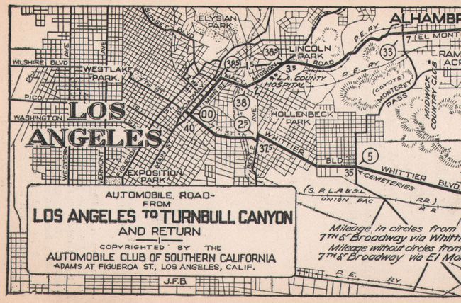
Auction 181, Lot 124
Subject: Western United States & Canada
Automobile Club of Southern California
[Lot of 40 - Strip Road Maps Produced by the Automobile Club of Southern California], 1922-33
Size: 3.1 x 9.1 inches (7.9 x 23.1 cm)
Estimate: $200 - $230
Sold for: $170
Closed on 2/10/2021
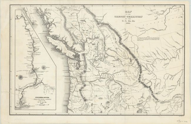
Auction 181, Lot 125
Subject: Northwestern United States & Canada
Wilkes, Charles
Map of the Oregon Territory by the U.S. Ex. Ex., 1841
Size: 13.1 x 8.3 inches (33.3 x 21.1 cm)
Estimate: $200 - $230
Sold for: $210
Closed on 2/10/2021
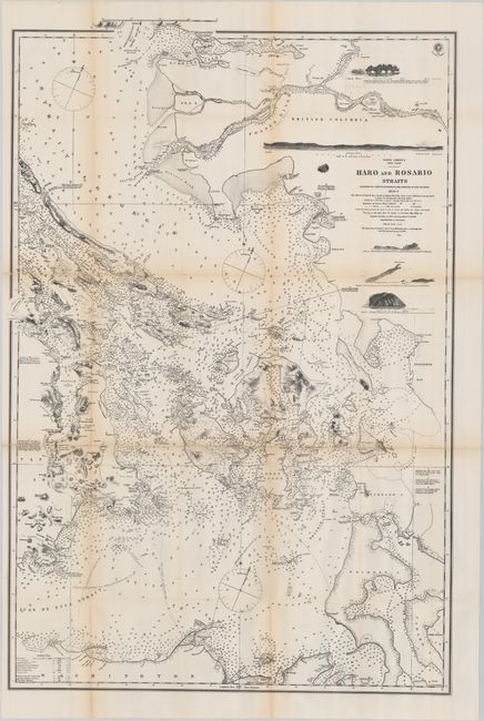
Auction 181, Lot 126
Subject: Washington, British Columbia
British Admiralty
[Reproduction] North America West Coast Haro and Rosario Straits Surveyed by Captn. G.H. Richards & the Officers of H.M.S. Plumper 1858-9, the Shores of Juan de Fuca Strait to Admiralty Inlet from Captn. H. Kellett’s Survey, 1847…, 1872
Size: 22.8 x 34.2 inches (57.9 x 86.9 cm)
Estimate: $160 - $190
Sold for: $140
Closed on 2/10/2021
Auction 181, Lot 127
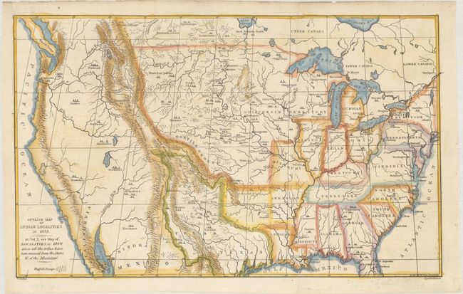
Subject: United States
Catlin, George
Outline Map of Indian Localities in 1833, 1841
Size: 14.4 x 8.8 inches (36.6 x 22.4 cm)
Estimate: $250 - $325
Sold for: $700
Closed on 2/10/2021
Auction 181, Lot 128
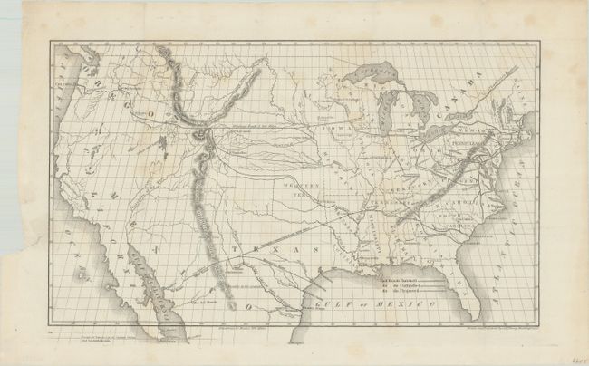
Subject: United States, Railroads
Throop, O. H.
[Untitled - Map of Proposed Routes of Western Railroads], 1846
Size: 15.9 x 10 inches (40.4 x 25.4 cm)
Estimate: $150 - $180
Sold for: $160
Closed on 2/10/2021
Auction 181, Lot 129
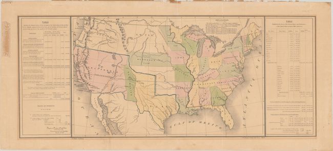
Subject: United States, Texas
Gilman, E.
[Untitled - United States], 1848
Size: 33.3 x 13.6 inches (84.6 x 34.5 cm)
Estimate: $450 - $550
Sold for: $325
Closed on 2/10/2021
Auction 181, Lot 130
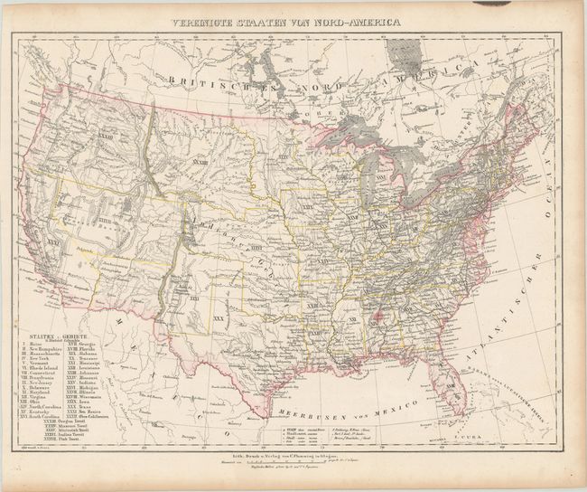
Subject: United States
Flemming, Carl
Vereinigte Staaten von Nord-America, 1850
Size: 16.1 x 12.3 inches (40.9 x 31.2 cm)
Estimate: $160 - $190
Sold for: $120
Closed on 2/10/2021
Auction 181, Lot 131
Subject: United States
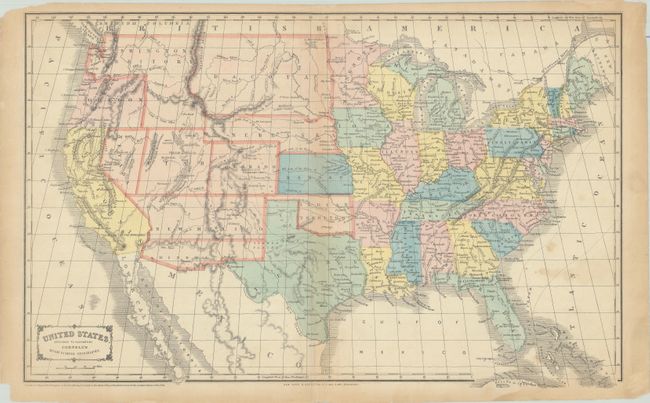
Cornell, Sarah Sophia
United States. Designed to Accompany Cornell's High School Geography , 1855
Size: 20.3 x 12.8 inches (51.6 x 32.5 cm)
Estimate: $200 - $230
Features the Confederate Territory of Arizona
Sold for: $170
Closed on 2/10/2021
Auction 181, Lot 132
Subject: United States
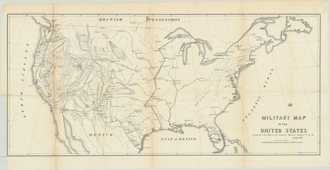
U.S. War Department
Military Map of the United States Prepared in the Office of the Quarter Master General U.S.A., 1857
Size: 30 x 13.6 inches (76.2 x 34.5 cm)
Estimate: $100 - $130
Sold for: $75
Closed on 2/10/2021
Auction 181, Lot 133
Subject: United States, Jefferson
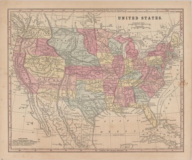
Smith, Roswell C.
[Lot of 2] United States [and] Washington, Oregon, California, Utah, New Mexico, 1861
Size: See Description
Estimate: $250 - $325
Two Maps Showing the Ephemeral Territory of Jefferson
Sold for: $350
Closed on 2/10/2021
Auction 181, Lot 134
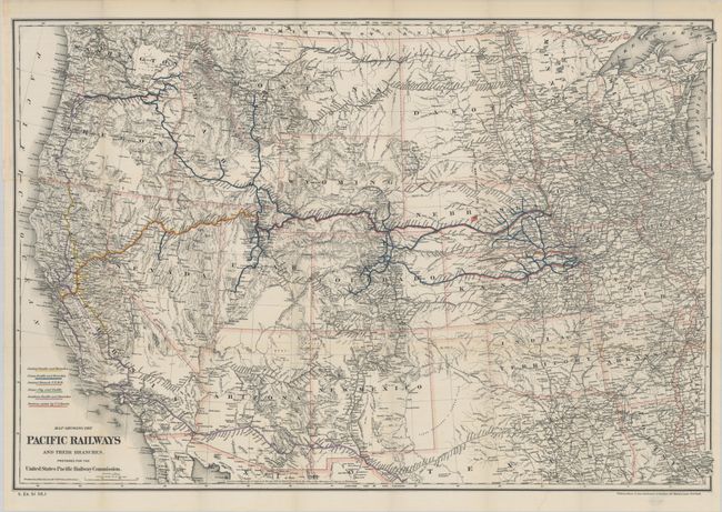
Subject: United States, Railroads
[Lot of 3] Map Showing the Pacific Railways... [and] Diagram of the Transcontinental Lines of Road Showing the Original Central Pacific and Union Pacific... [and] Map of the Railroads in Whole or in Part West, North or South of the Missouri River..., 1878-87
Size: See Description
Estimate: $250 - $325
Sold for: $200
Closed on 2/10/2021
Auction 181, Lot 135
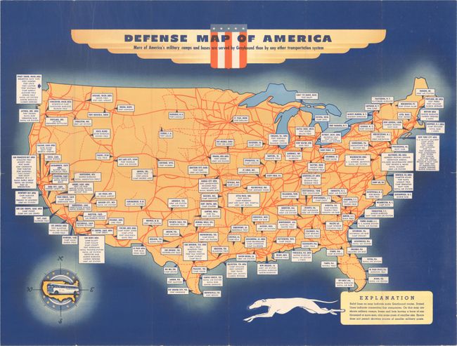
Subject: United States
[Lot of 2] Defense Map of America [and] Pleasure Map of America, 1940-53
Size: See Description
Estimate: $140 - $170
Sold for: $110
Closed on 2/10/2021
Auction 181, Lot 136
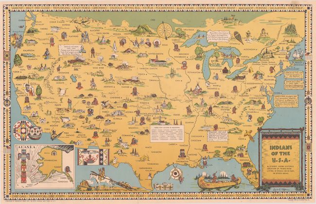
Subject: United States, Indians
Indians of the U.S.A., 1944
Size: 33.3 x 21.1 inches (84.6 x 53.6 cm)
Estimate: $300 - $375
Sold for: $200
Closed on 2/10/2021
Auction 181, Lot 137
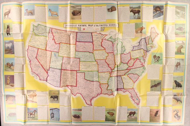
Subject: United States
Hammond, C. S.
Hammond's Animal Map of the United States, 1956
Size: 56.6 x 36.5 inches (143.8 x 92.7 cm)
Estimate: $160 - $190
Sold for: $70
Closed on 2/10/2021
Auction 181, Lot 138
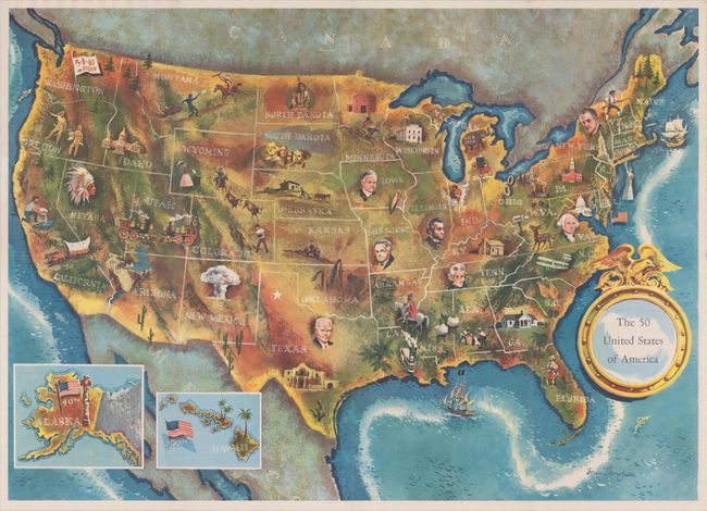
Subject: United States, Presidential Elections
The 50 United States of America, 1960
Size: 24.9 x 17.9 inches (63.2 x 45.5 cm)
Estimate: $200 - $230
Sold for: $160
Closed on 2/10/2021
Auction 181, Lot 139
Subject: United States
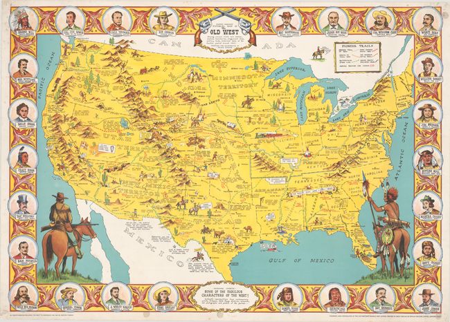
Danny Arnold's Pictorial Map of the Old West Showing Pioneer Trails and Battles, Indian's Territories, Stagecoach Lines, Military Forts, Historical Data of the Frontier Period Around 1840, 1960
Size: 33.6 x 23.9 inches (85.3 x 60.7 cm)
Estimate: $200 - $230
Sold for: $375
Closed on 2/10/2021
Auction 181, Lot 140
Subject: Colonial Eastern United States
Delisle, Guillaume
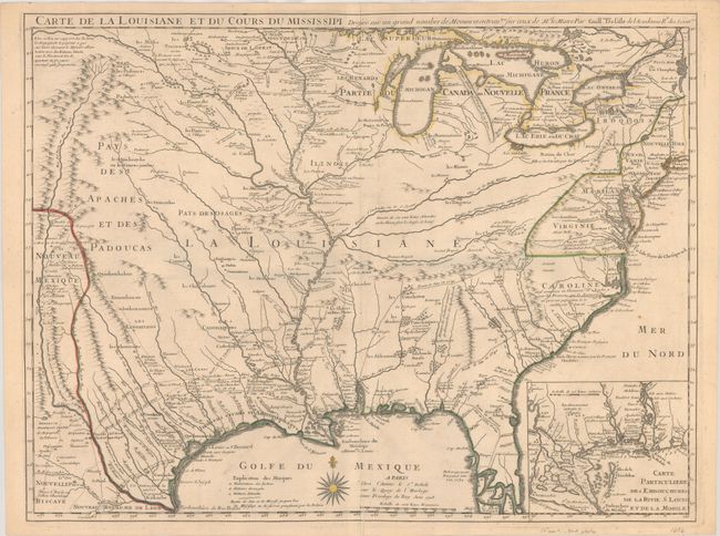
Carte de la Louisiane et du Cours du Mississipi Dressee sur un Grand Nombre de Memoires Entrautres sur ceux de Mr. le Maire, 1718
Size: 25.3 x 19.1 inches (64.3 x 48.5 cm)
Estimate: $6,000 - $7,500
A Foundation Map for the Mississippi Valley and the First Appearance of Texas on a Printed Map
Sold for: $6,000
Closed on 2/10/2021
Auction 181, Lot 141
Subject: Colonial Eastern United States
Weigel, Christopher
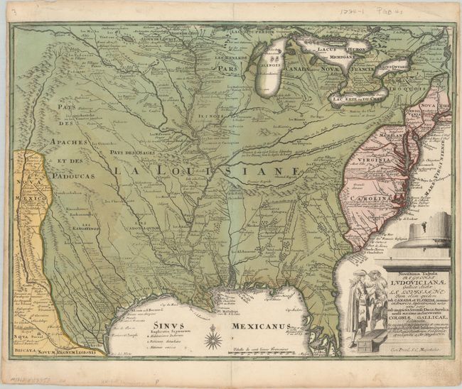
Novissima Tabula Regionis Ludovicianae Gallice Dictae la Louisiane tam olim Quidem sub Canadae et Floridae Nomine in America Septentrionali..., 1734
Size: 16.3 x 12.4 inches (41.4 x 31.5 cm)
Estimate: $1,100 - $1,400
Uncommon Map of French Louisiana with a Title Cartouche Referencing the Mississippi Bubble Scheme
Sold for: $800
Closed on 2/10/2021
Auction 181, Lot 142
Subject: Colonial Eastern United States
Bellin, Jacques Nicolas
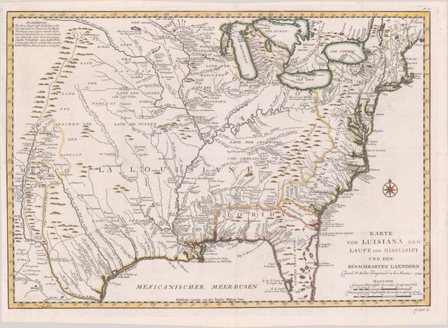
Karte von Luisiana dem Laufe des Mississipi und den Benachbarten Laendern, 1744
Size: 22.1 x 15.5 inches (56.1 x 39.4 cm)
Estimate: $700 - $850
Sold for: $500
Closed on 2/10/2021
Auction 181, Lot 143
Subject: Colonial Eastern United States
Bonne/Lattre
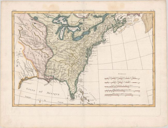
[Partie de l'Amerique Septentrionale, Qui Comprend le Canada, la Louisiane, le Labrador…] Canada IIe. Feuille, 1771
Size: 17.2 x 11.6 inches (43.7 x 29.5 cm)
Estimate: $200 - $230
Sold for: $275
Closed on 2/10/2021
Auction 181, Lot 144
Subject: Eastern United States
Fielding, John
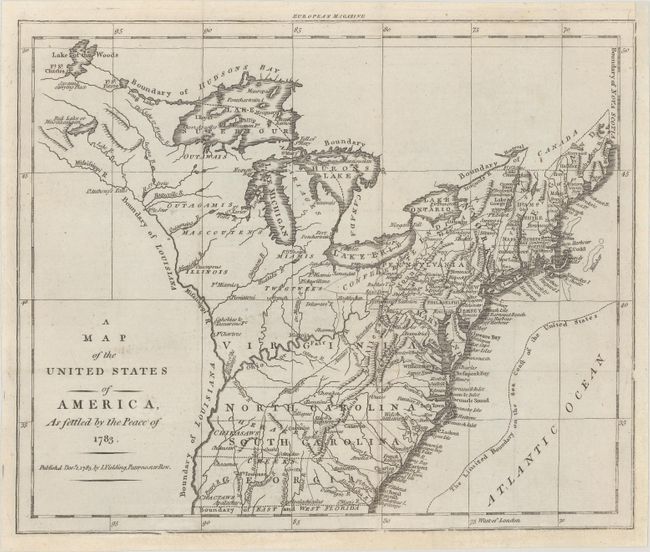
A Map of the United States of America, as Settled by the Peace of 1783, 1783
Size: 9.9 x 8.1 inches (25.1 x 20.6 cm)
Estimate: $600 - $750
Sold for: $425
Closed on 2/10/2021
224 lots
Page 1 of 5


