Subject: Central United States & Canada
Period: 1838 (published)
Publication: H.R. Doc. 451, 25th Congress, 2nd Session
Color: Black & White
Size:
5.8 x 9.1 inches
14.7 x 23.1 cm
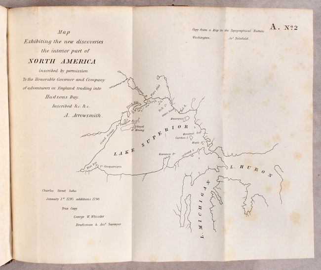
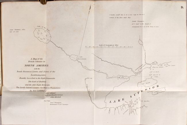
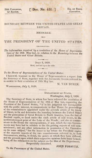
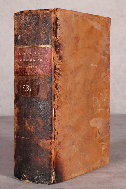
This is the complete volume 11 of the House of Representatives executive documents, containing documents #423 through #467 (unpaginated). Of particular interest in this thick octavo volume is document #451, containing the proceedings of the Commissioners appointed under the seventh article of the Treaty of Ghent to fix and determine the boundary between the United States and Canada from the foot of the Neebish Rapids (intersection of Lake Superior and Huron) to the northwestern point of the Lake of the Woods. Included are the reports of both the American Commissioner and the British Commissioner. The 132 pages of text are augmented by 17 folding maps which are mostly copies of 18th century maps covering the Lake Superior, Michigan and Huron areas by various map makers. Signed in type by M. Van Buren and John Forsyth. Octavo, hardbound in full leather with maroon title label on spine.
References:
Condition: B
Maps range from good to near fine with scattered foxing (more prominent on the first few and last few maps). Text has scattered foxing throughout. Both hinges are starting to separate. Covers are heavily worn and abraded, and the spine is stained and chipped at the tail.