Catalog Archive
Auction 181, Lot 130

"Vereinigte Staaten von Nord-America", Flemming, Carl

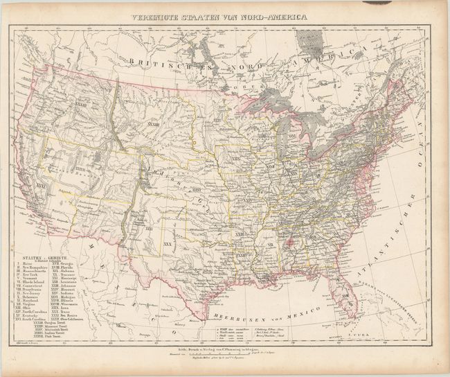
Subject: United States

Period: 1850 (circa)

Publication: Berghaus’ Vollstandiger Hand-Atlas...

Color: Hand Color

Size:
16.1 x 12.3 inches
40.9 x 31.2 cm
Download High Resolution Image
(or just click on image to launch the Zoom viewer)

This map provides an excellent view of the evolving American West with some unusual territorial configurations. Texas has been updated to show its present-day borders, which results in a very odd looking Indian Territory and large New Mexico Territory. Missouri Territory takes up most of Montana and parts of Wyoming, while Oregon Territory incorporates Washington. The U.S.-Mexico border predates the Treaty of Guadalupe Hidalgo. The map depicts towns, missions, forts, railroads, and canals. A table lists the states and territories at lower left.

References:

Condition: A

There is some minor staining entirely confined to the blank margins.

Estimate: $160 - $190

Sold for: $120

Closed on 2/10/2021

Archived