Filtered by Category:United States(Show All Categories)
Showing results for:Auction 130
Catalog Archive
205 lots
Page 1 of 5
Auction 130, Lot 120
Subject: United States & Mexico
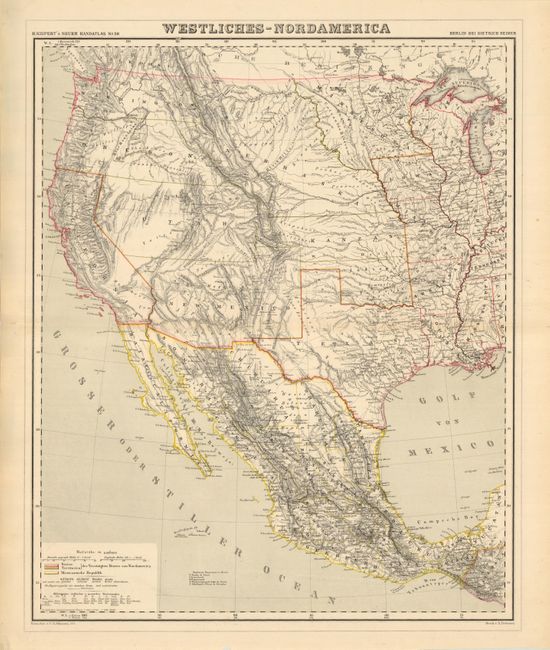
Kiepert, Heinrich C.
Westliches-Nordamerica, 1857
Size: 16.8 x 20.8 inches (42.7 x 52.8 cm)
Estimate: $180 - $250
Unsold
Closed on 12/2/2009
Auction 130, Lot 131
Subject: Colonial New England and Canada
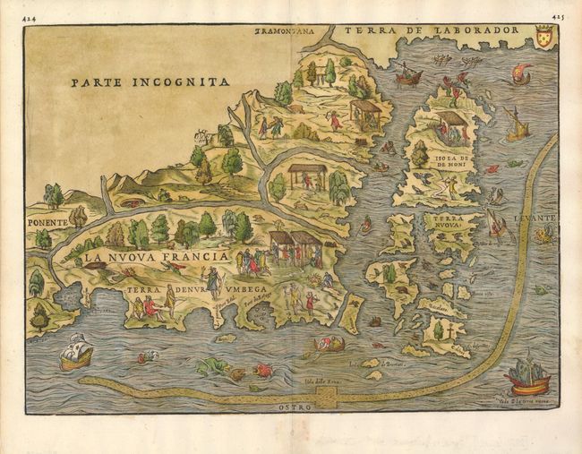
Ramusio, Giovanni Battista
La Nuova Francia, 1565
Size: 14.4 x 10.4 inches (36.6 x 26.4 cm)
Estimate: $3,000 - $3,500
Sold for: $4,000
Closed on 12/2/2009
Auction 130, Lot 132
Subject: Colonial United States and Canada
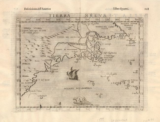
Ruscelli, Girolamo
Tierra Nueva, 1598
Size: 9.7 x 7 inches (24.6 x 17.8 cm)
Estimate: $1,100 - $1,300
Sold for: $1,100
Closed on 12/2/2009
Auction 130, Lot 133
Subject: Colonial United States and Canada
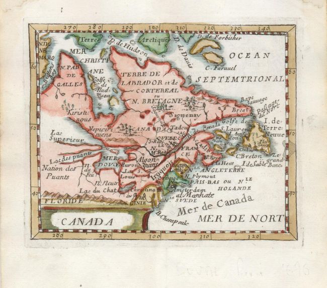
Duval, Pierre
Canada, 1676
Size: 4.8 x 3.8 inches (12.2 x 9.7 cm)
Estimate: $400 - $500
Sold for: $300
Closed on 12/2/2009
Auction 130, Lot 134
Subject: Colonial United States and Canada, Great Lakes
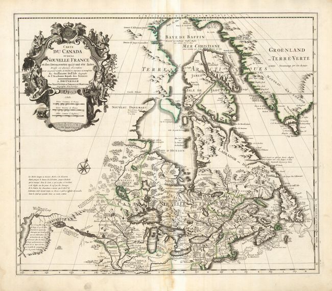
Delisle/Covens & Mortier
Carte du Canada ou de la Nouvelle France…, 1730
Size: 22.5 x 19.3 inches (57.2 x 49 cm)
Estimate: $750 - $900
Sold for: $550
Closed on 12/2/2009
Auction 130, Lot 135
Subject: Colonial United States and Canada
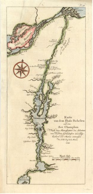
Bellin, Jacques Nicolas
Karte von dem Flusse Richelieu und dem See Champlain…, 1744
Size: 5.2 x 11.8 inches (13.2 x 30 cm)
Estimate: $160 - $200
Sold for: $140
Closed on 12/2/2009
Auction 130, Lot 136
Subject: Canada and Great Lakes
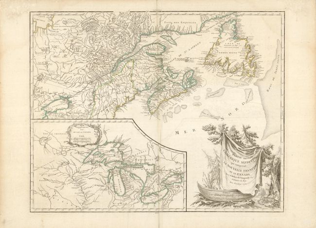
Robert de Vaugondy, Didier
Partie de l'Amerique Septent? qui comprend la Nouvelle France ou le Canada, 1755
Size: 23.8 x 17.8 inches (60.5 x 45.2 cm)
Estimate: $800 - $950
Unsold
Closed on 12/2/2009
Auction 130, Lot 137
Subject: Colonial New England and Canada
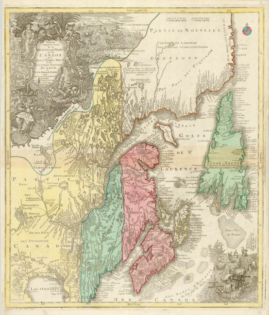
Seutter/Lotter
Partie Orientale de la Nouvelle France ou du Canada avec l'Isle de Terre-Neuve et de Nouvelle Ecosse, Acadie et Nouv. Angleterre…, 1756
Size: 19.4 x 22.6 inches (49.3 x 57.4 cm)
Estimate: $900 - $1,100
Sold for: $950
Closed on 12/2/2009
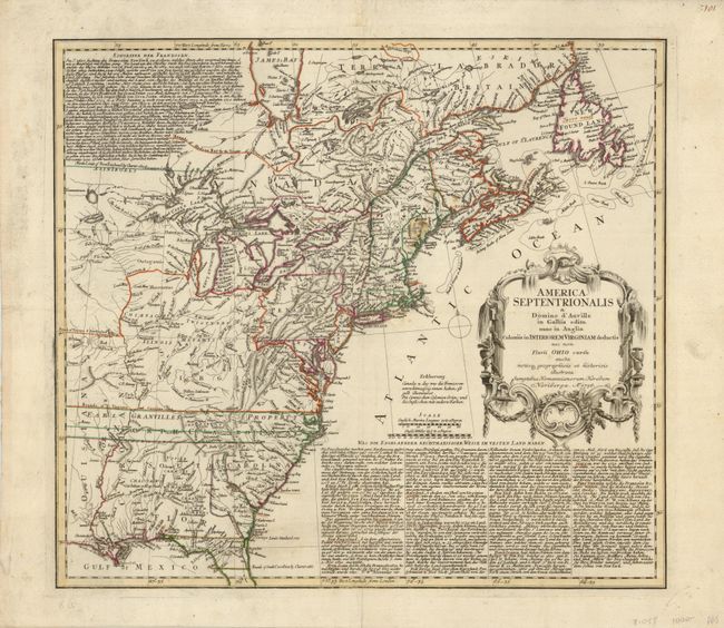
Auction 130, Lot 138
Subject: Colonial United States and Canada
Homann Heirs
America Septentrionalis a Domino d'Anville in Galliis edita nunc in Anglia Coloniis in Interiorem Virginiam deductis nec non Fluvii Ohio cursu…, 1756
Size: 20 x 18 inches (50.8 x 45.7 cm)
Estimate: $500 - $600
Sold for: $375
Closed on 12/2/2009
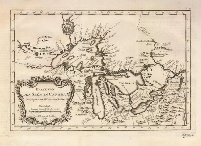
Auction 130, Lot 139
Subject: Colonial Great Lakes
Bellin, Jacques Nicolas
Karte von den Seen in Canada Zur allgemeinen Historie der Reisen, 1757
Size: 11.2 x 7.5 inches (28.4 x 19.1 cm)
Estimate: $425 - $475
Sold for: $325
Closed on 12/2/2009
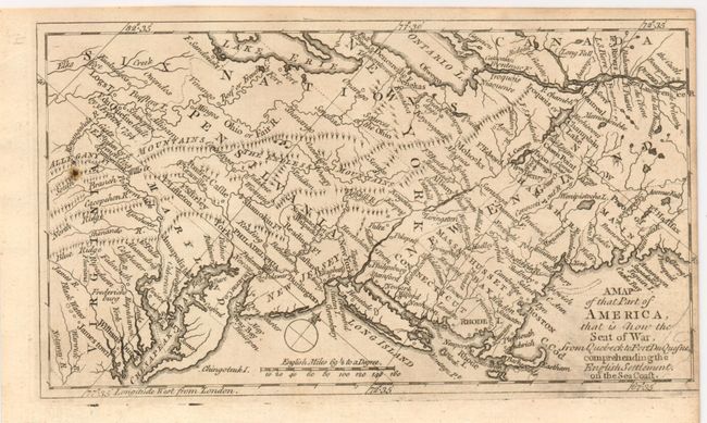
Auction 130, Lot 140
Subject: Colonial United States and Canada
Anon.
A Map of that Part of America, that is now the Seat of War, from Quebeck to Fort Duquesne, comprehending the English Settlement on the Sea Coast, 1758
Size: 7.5 x 4.3 inches (19.1 x 10.9 cm)
Estimate: $400 - $600
Sold for: $300
Closed on 12/2/2009
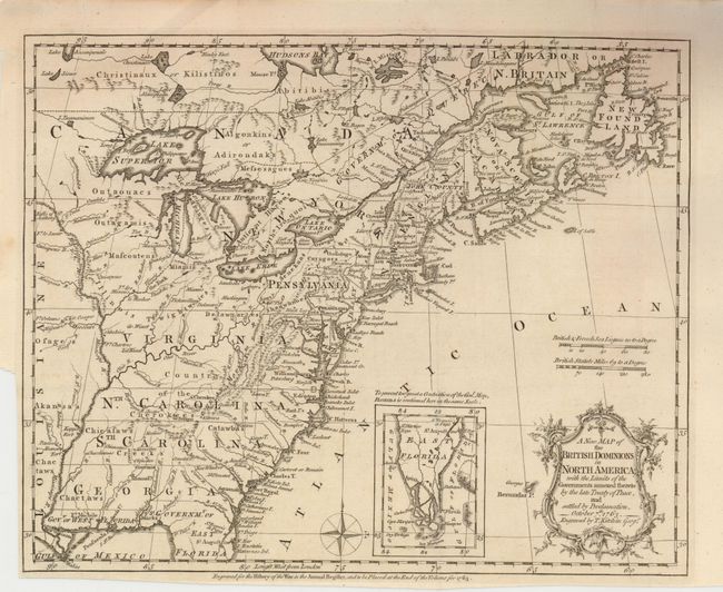
Auction 130, Lot 141
Subject: Colonial United States and Canada
Kitchin, Thomas
A New Map of the British Dominions in North America; with the Limits of the Governments Annexed thereto by the Late Treaty of Peace, and Settled by Proclamation, October 7th, 1763, 1763
Size: 11.7 x 9.5 inches (29.7 x 24.1 cm)
Estimate: $650 - $800
Unsold
Closed on 12/2/2009
Auction 130, Lot 142
Subject: Colonial United States and Canada
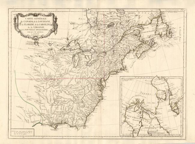
D'Anville/Santini
Carte Generale du Canada, de la Louisiane, de la Floride, de la Caroline, de la Virginie, de la Nouvelle Angleterre etc. par le Sr. d'Anville, 1776
Size: 25.8 x 18.8 inches (65.5 x 47.8 cm)
Estimate: $1,000 - $1,200
Unsold
Closed on 12/2/2009
Auction 130, Lot 143
Subject: Colonial Great Lakes
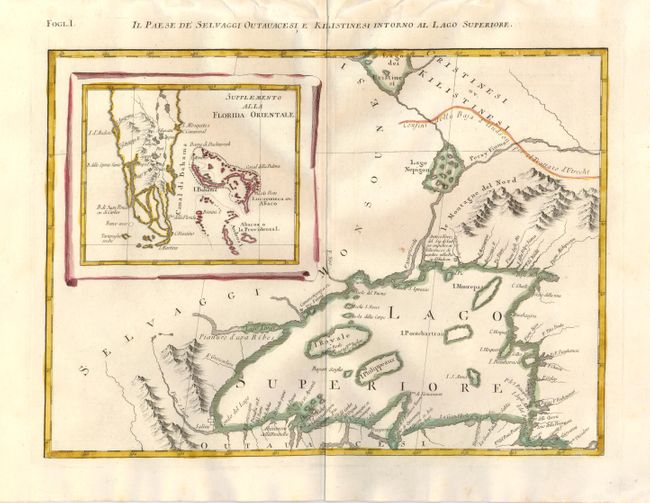
Zatta, Antonio
Il Paese de Selvaggi Outauacesi e Kilistinesi Intorno al Lago Superiore, 1778
Size: 16.5 x 12 inches (41.9 x 30.5 cm)
Estimate: $400 - $500
Sold for: $425
Closed on 12/2/2009
Auction 130, Lot 144
Subject: Colonial United States and Canada
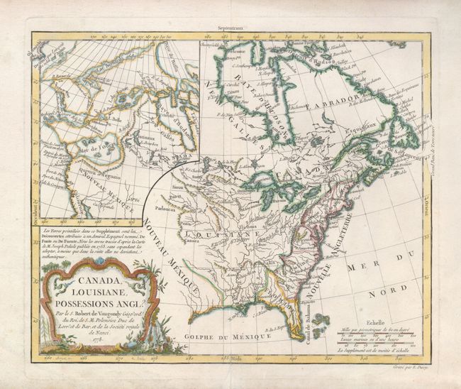
Robert de Vaugondy, Didier
Canada, Louisiane, Possessions Angl?, 1778
Size: 11.4 x 9.5 inches (29 x 24.1 cm)
Estimate: $325 - $400
Unsold
Closed on 12/2/2009
Auction 130, Lot 145
Subject: Colonial United States and Canada, Great Lakes
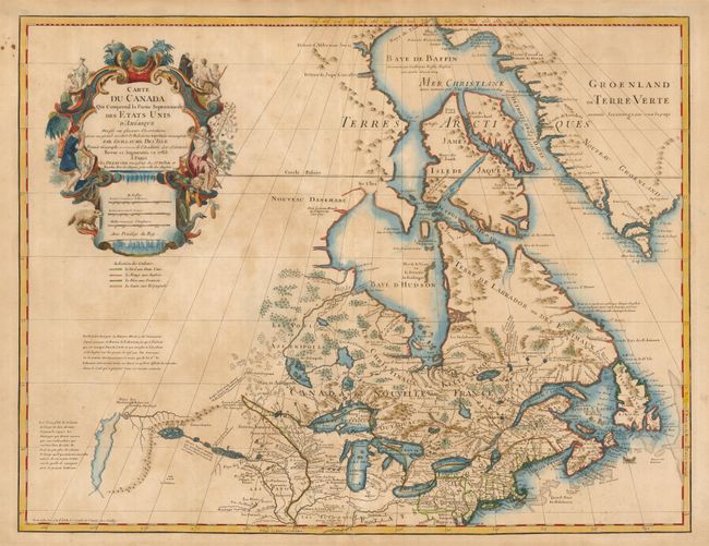
Delisle/Dezauche
Carte du Canada qui Comprend la Partie Septentrionale des Etats Unis…, 1783
Size: 25.3 x 19.5 inches (64.3 x 49.5 cm)
Estimate: $750 - $900
Unsold
Closed on 12/2/2009
Auction 130, Lot 146
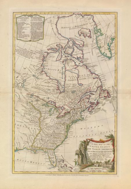
Subject: Canada & United States
Dunn, Samuel
A New Map of the United States of North America with the British Dominions on that Continent &c., 1786
Size: 12 x 18.5 inches (30.5 x 47 cm)
Estimate: $1,000 - $1,300
Sold for: $750
Closed on 12/2/2009
Auction 130, Lot 147
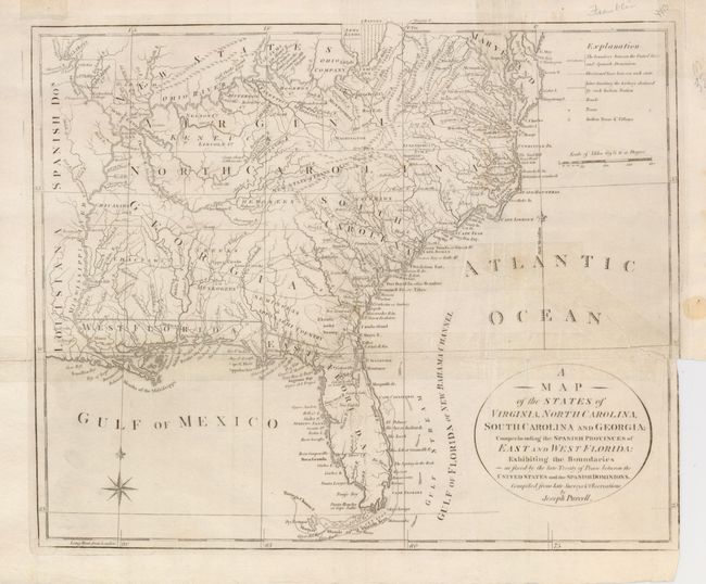
Subject: Canada & United States
Purcell, Joseph
[Lot of 2] A Map of the States of Virginia, North Carolina, South Carolina and Georgia; Compending the Spanish Provinces of East and West Florida… [and] A Map of the Northern and Middle States; Comprehending the Western Territory & the British Dominions, 1792
Size: 15 x 11.8 inches (38.1 x 30 cm)
Estimate: $400 - $600
Sold for: $300
Closed on 12/2/2009
Auction 130, Lot 148
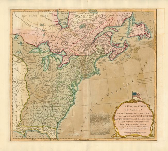
Subject: United States and Canada
Laurie & Whittle
The United States of America with the British Possessions of Canada, Nova Scotia, New Brunswick and New Foundland, 1794
Size: 20 x 18 inches (50.8 x 45.7 cm)
Estimate: $1,100 - $1,300
Sold for: $800
Closed on 12/2/2009
Auction 130, Lot 149
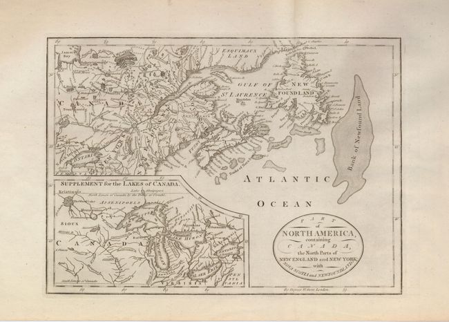
Subject: Canada & United States
Anon.
Part of North America, Containing Canada, the North parts of New England and New York; with Nova Scotia and Newfoundland, 1795
Size: 11.3 x 8 inches (28.7 x 20.3 cm)
Estimate: $250 - $300
Unsold
Closed on 12/2/2009
Auction 130, Lot 150
Subject: Canada & New England
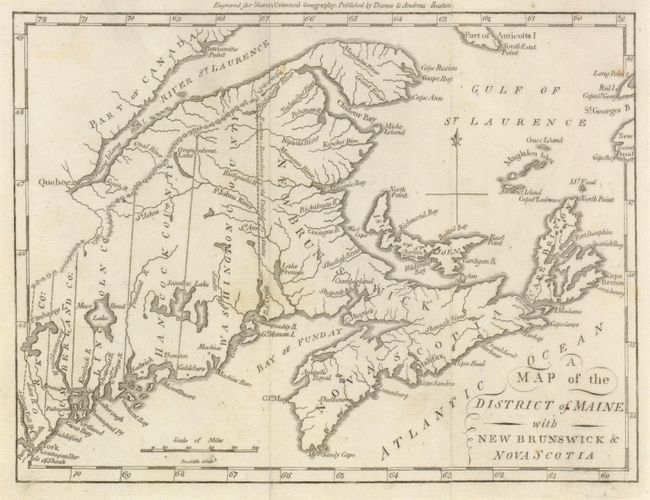
Morse, Jedidiah (Rev.)
Map of the District of Maine with New Brunswick & Nova Scotia, 1796
Size: 9 x 7 inches (22.9 x 17.8 cm)
Estimate: $200 - $250
Sold for: $350
Closed on 12/2/2009
Auction 130, Lot 151
Subject: Canada & United States
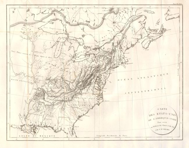
Volney, C. F.
Carte des Etats-Unis de l'Amerique-Nord, 1803
Size: 21.5 x 16.2 inches (54.6 x 41.1 cm)
Estimate: $275 - $325
Sold for: $230
Closed on 12/2/2009
Auction 130, Lot 152
Subject: United States, Canada, Texas
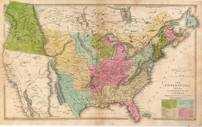
Huntington, F. J.
The United States Texas & the British Provinces of the Canadas, Newfoundland, Nova Scotia, N. Brunswick & Prince Edward Island, 1838
Size: 18.3 x 11 inches (46.5 x 27.9 cm)
Estimate: $150 - $250
Sold for: $400
Closed on 12/2/2009
Auction 130, Lot 153
Subject: Canada & New England
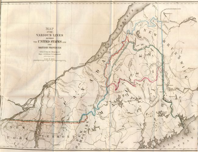
Graham, James D.
Map of the Various Lines between the United States and the British Provinces, 1846
Size: 15.5 x 11.8 inches (39.4 x 30 cm)
Estimate: $300 - $350
Sold for: $550
Closed on 12/2/2009
Auction 130, Lot 154
Subject: Canada & United States
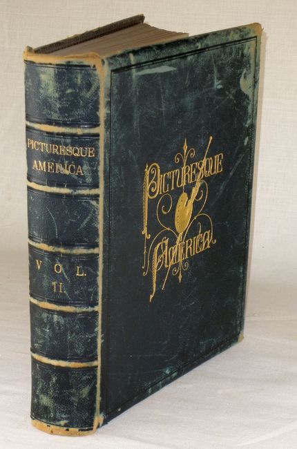
Bryant, William C.
Picturesque America; or, the Land we Live in… Volume II, 1872-74
Size: 11 x 13 inches (27.9 x 33 cm)
Estimate: $180 - $220
Sold for: $600
Closed on 12/2/2009
Auction 130, Lot 155
Subject: United States
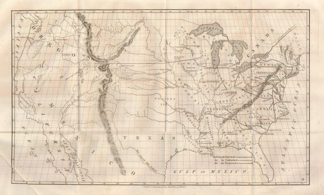
Whitney, Asa
[Map of Proposed Routes of Western Railroads], 1846
Size: 15.8 x 9.5 inches (40.1 x 24.1 cm)
Estimate: $200 - $300
Sold for: $150
Closed on 12/2/2009
Auction 130, Lot 156
Subject: United States
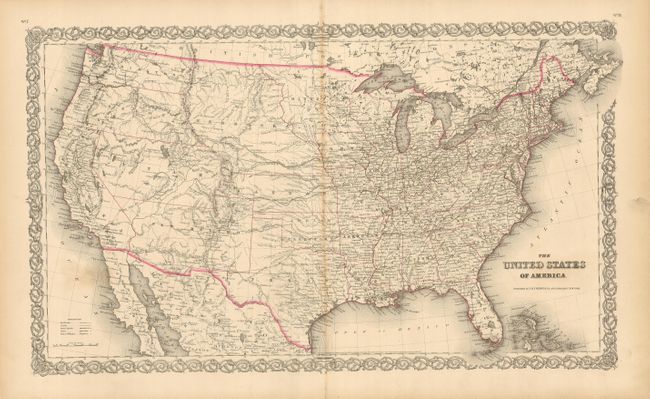
Colton, Joseph Hutchins
The United States of America, 1855
Size: 26.5 x 17.5 inches (67.3 x 44.5 cm)
Estimate: $230 - $275
Sold for: $130
Closed on 12/2/2009
Auction 130, Lot 157
Subject: United States
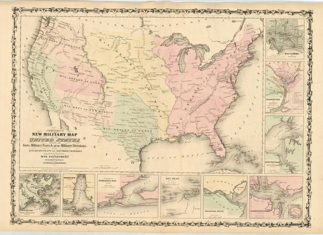
Johnson & Browning
Johnson's New Military Map of the United States Showing the Forts, Military Posts &c. all the Military Divisions with Enlarged Plans of Southern Harbors…, 1861
Size: 23.5 x 17.2 inches (59.7 x 43.7 cm)
Estimate: $150 - $200
Sold for: $230
Closed on 12/2/2009
Auction 130, Lot 158
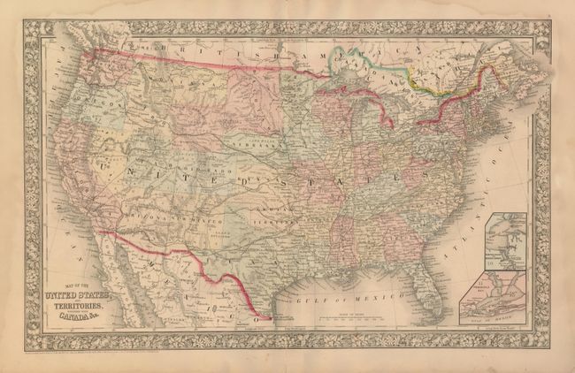
Subject: United States
Mitchell, Samuel Augustus
Map of the United States, and Territories. Together with Canada &c., 1865
Size: 21 x 13.3 inches (53.3 x 33.8 cm)
Estimate: $130 - $180
Sold for: $95
Closed on 12/2/2009
Auction 130, Lot 159
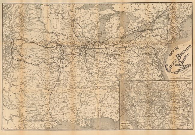
Subject: United States - Railroad
Rand McNally & Co.
Map of the Chicago Burlington and Quincy Railroad and its Connections, 1878
Size: 30 x 20 inches (76.2 x 50.8 cm)
Estimate: $200 - $250
Unsold
Closed on 12/2/2009
Auction 130, Lot 160
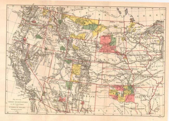
Subject: United States
U.S. Government
[Lot of 30 - Map Showing Indian Reservations Within the Limits of the United States], 1878-1910
Size: See Description
Estimate: $600 - $800
Sold for: $300
Closed on 12/2/2009
Auction 130, Lot 161
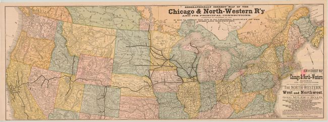
Subject: Northern United States
Rand McNally & Co.
A New and Correct Map of the Chicago & North-Western Railway and its Connections…, 1880
Size: 42.3 x 15.3 inches (107.4 x 38.9 cm)
Estimate: $140 - $180
Unsold
Closed on 12/2/2009
Auction 130, Lot 162
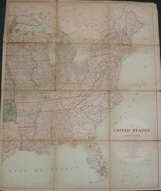
Subject: United States
General Land Office
Map of the United States and Territories Showing the Extent of Public Surveys, Indian and Military Reservations, Land Grant R.R; Rail Roads, Canals…, 1882
Size: 39 x 49 inches (99.1 x 124.5 cm)
Estimate: $140 - $180
Sold for: $160
Closed on 12/2/2009
Auction 130, Lot 163
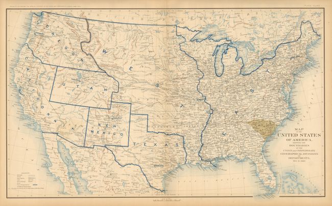
Subject: United States, Civil War
U.S. War Department
[Lot of 10] Map of the United States of America, Showing the Boundaries of the Union and Confederate Geographical Divisions and Departments Plates CLXII - CLXXI, 1891-95
Size: 27.8 x 16.5 inches (70.6 x 41.9 cm)
Estimate: $800 - $1,000
Sold for: $1,600
Closed on 12/2/2009
Auction 130, Lot 164
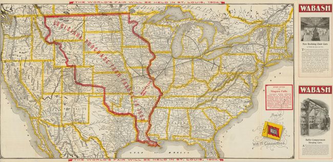
Subject: United States
Railroad Companies, (Various)
Map of Wabash with its Connections, 1902
Size: 31 x 16.3 inches (78.7 x 41.4 cm)
Estimate: $100 - $140
Sold for: $70
Closed on 12/2/2009
Auction 130, Lot 165
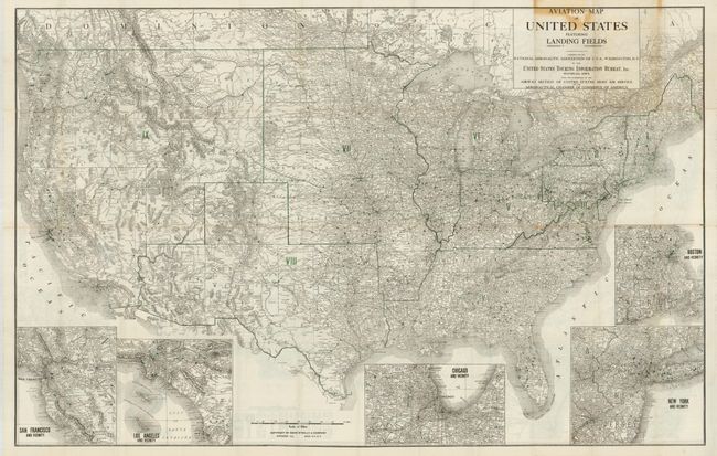
Subject: United States
Rand McNally & Co.
Aviation Map of the United States Featuring Landing Fields Improved and Unimproved… / Official Auto Trails Map of the United States Featuring Tourist Camp Sites, 1923
Size: 40 x 26 inches (101.6 x 66 cm)
Estimate: $150 - $200
Sold for: $75
Closed on 12/2/2009
Auction 130, Lot 166
Subject: United States
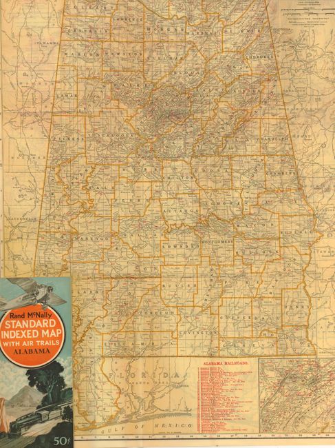
Rand McNally & Co.
[Lot of 18] Rand McNally Standard Indexed Map with Air Trails, 1929
Size: 18.5 x 26 inches (47 x 66 cm)
Estimate: $500 - $700
Sold for: $400
Closed on 12/2/2009
Auction 130, Lot 167
Subject: Colonial Southeast
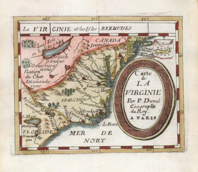
Duval, Pierre
Carte de la Virginie, 1676
Size: 4.8 x 3.9 inches (12.2 x 9.9 cm)
Estimate: $650 - $750
Sold for: $475
Closed on 12/2/2009
Auction 130, Lot 168
Subject: Colonial Central United States
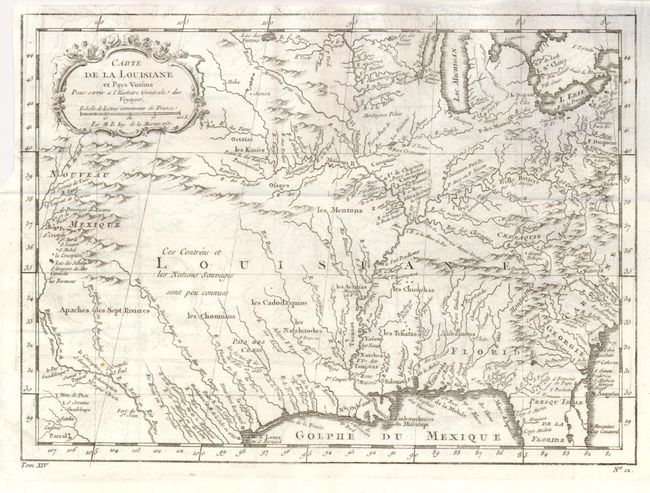
Bellin, Jacques Nicolas
Carte de la Louisiane et Pays Voisins Pour servir a l'Histoire Generale des Voyages, 1757
Size: 12 x 8.8 inches (30.5 x 22.4 cm)
Estimate: $250 - $300
Sold for: $190
Closed on 12/2/2009
Auction 130, Lot 169
Subject: Colonial United States
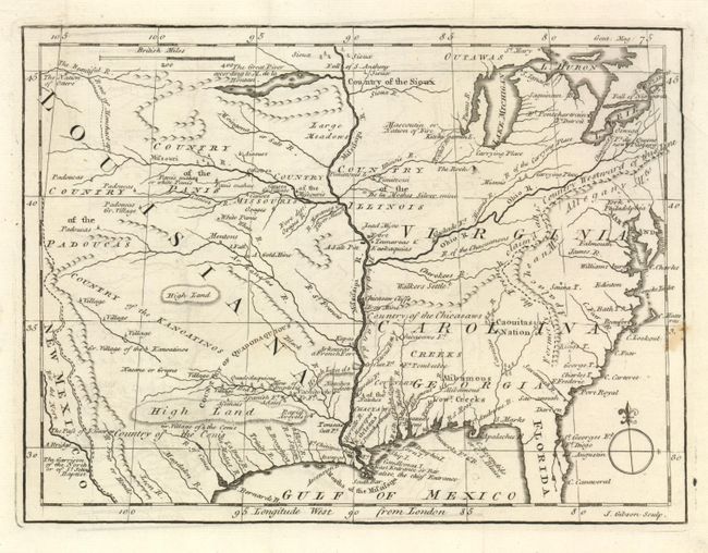
Gibson, John
[Virginia, Carolina, Georgia, Florida, Louisiana], 1763
Size: 9.5 x 7 inches (24.1 x 17.8 cm)
Estimate: $250 - $300
Sold for: $200
Closed on 12/2/2009
Auction 130, Lot 170
Subject: Eastern United States
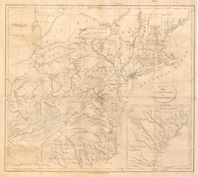
Stockdale, John
Part of the United States of North America, 1798
Size: 18.5 x 16.2 inches (47 x 41.1 cm)
Estimate: $250 - $300
Unsold
Closed on 12/2/2009
Auction 130, Lot 171
Subject: Eastern United States
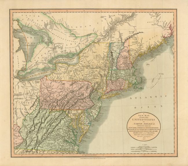
Cary, John
A New Map of Part of the United States of North America, containing those of New York, Vermont, New Hampshire, Massachusetts, Connecticut, Rhode Island, Pennsylvania, New Jersey, Delaware, Maryland and Virginia. From the Latest Authorities., 1806
Size: 20.5 x 18 inches (52.1 x 45.7 cm)
Estimate: $600 - $700
Sold for: $350
Closed on 12/2/2009
Auction 130, Lot 172
Subject: Eastern United States
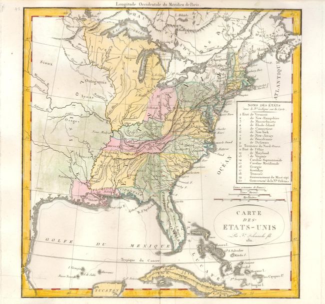
Delamarche, Felix
Carte des Etats-Unis, 1811
Size: 10.8 x 11.3 inches (27.4 x 28.7 cm)
Estimate: $300 - $350
Sold for: $2,000
Closed on 12/2/2009
Auction 130, Lot 173
Subject: Eastern United States
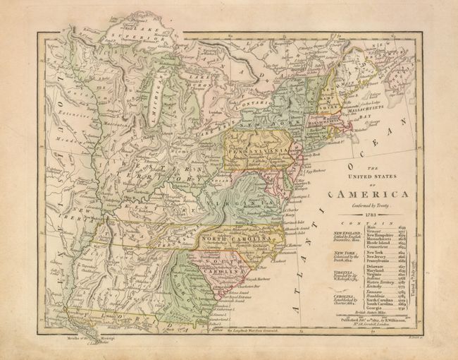
Wilkinson, Robert
The United States of America Confirmed by Treaty 1783, 1812
Size: 11 x 9.3 inches (27.9 x 23.6 cm)
Estimate: $450 - $550
Sold for: $650
Closed on 12/2/2009
Auction 130, Lot 174
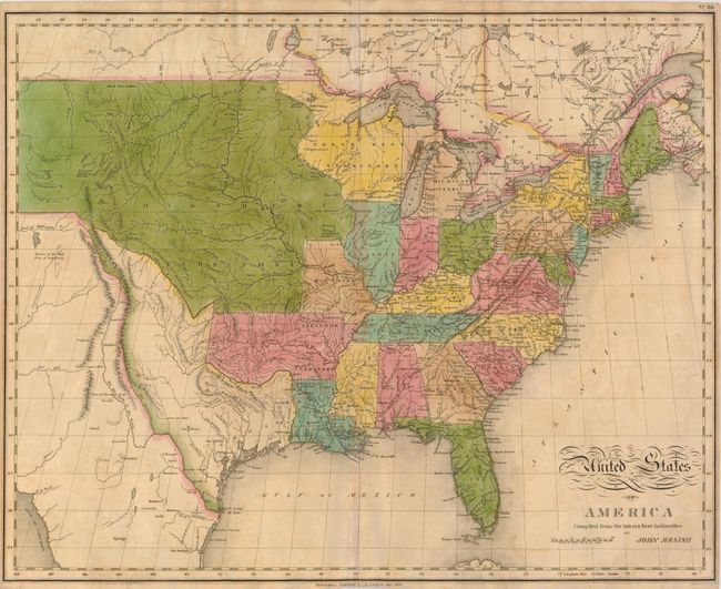
Subject: Eastern United States
Melish, John
United States of America Compiled from the latest & best Authorities, 1820
Size: 21 x 15.3 inches (53.3 x 38.9 cm)
Estimate: $1,100 - $1,400
Sold for: $800
Closed on 12/2/2009
Auction 130, Lot 175
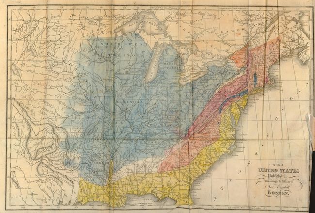
Subject: Eastern United States
Cummings & Hilliard
The United States, 1822
Size: 16.5 x 11 inches (41.9 x 27.9 cm)
Estimate: $750 - $1,000
Unsold
Closed on 12/2/2009
Auction 130, Lot 176
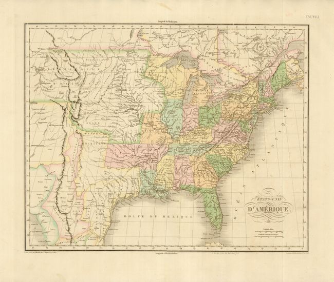
Subject: Eastern United States
Buchon, Jean Alexandre
Etats-Unis d'Amerique, 1825
Size: 20.8 x 16.8 inches (52.8 x 42.7 cm)
Estimate: $500 - $600
Sold for: $300
Closed on 12/2/2009
Auction 130, Lot 177
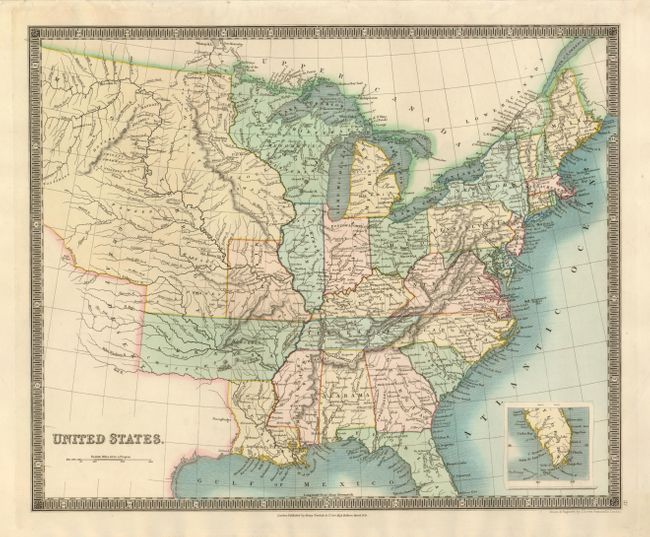
Subject: Eastern United States
Teesdale, Henry
United States, 1831
Size: 16 x 13 inches (40.6 x 33 cm)
Estimate: $250 - $300
Sold for: $190
Closed on 12/2/2009
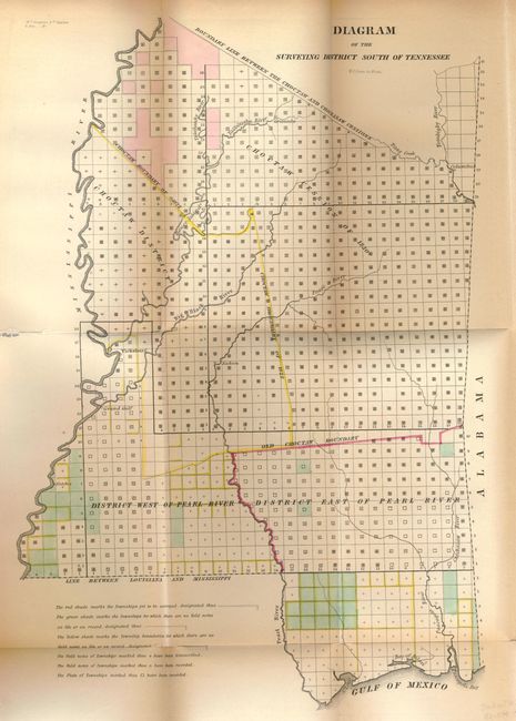
Auction 130, Lot 178
Subject: Eastern United States
General Land Office
Report from the Commissioner of the General Land Office, showing the Operations of that Office since the 17th December, 1838, 1839
Size: 5.5 x 9 inches (14 x 22.9 cm)
Estimate: $250 - $300
Unsold
Closed on 12/2/2009
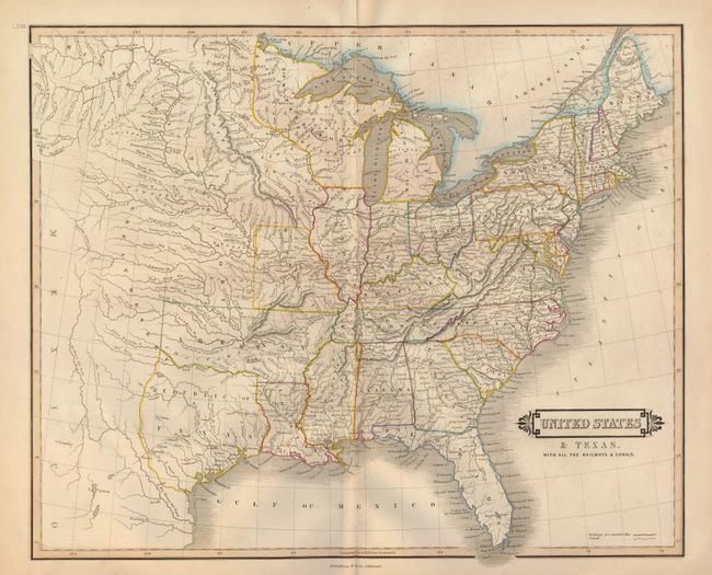
Auction 130, Lot 179
Subject: Eastern United States - Texas
Lizars, William Home
United States & Texas. With all the Railways & Canals, 1840
Size: 20 x 16.3 inches (50.8 x 41.4 cm)
Estimate: $750 - $900
Sold for: $1,200
Closed on 12/2/2009
205 lots
Page 1 of 5


