Subject: United States
Period: 1882 (dated)
Publication:
Color: Printed Color
Size:
39 x 49 inches
99.1 x 124.5 cm
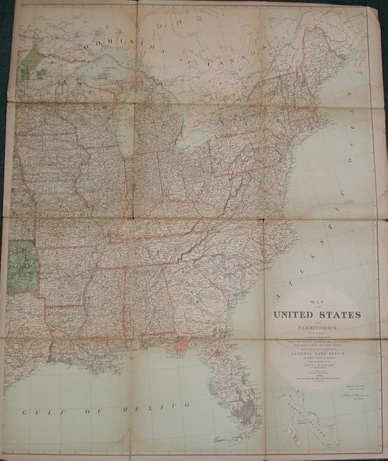
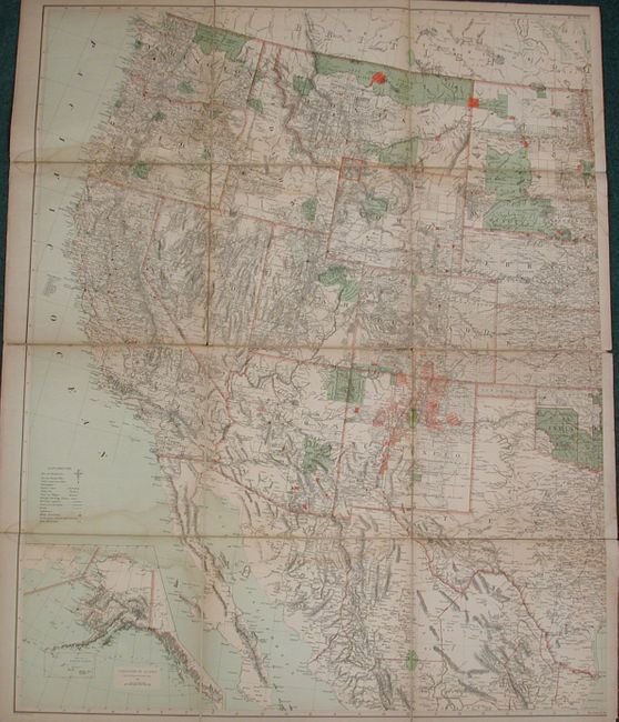
The map is on two sheets, both segmented and mounted on original linen. Together their joined size would be almost seven feet by four feet. This large and highly detailed lithographed map shows the extent of the U.S. State Surveys to date. It provides details to include township subdivisions, railroads, watersheds, and mining activities. The extensive legend locates Base and Meridian Lines, Survey General Offices, Land Offices, Township lines, Capitals and County Seats, Towns and Villages, Railroad Stations, Completed Railroads, Land Grant Railroads, Canals, Lighthouses, Military and Indian Reservations, and two forms of Private Land Grants. The Western sheet includes a large inset of Alaska dated 1868. The Eastern Sheet has the title and distance scale and is signed in the plate by McFarland, Commissioner General Land Office. Compiled by C. Roeser, Principle Draughtsman. Each map self-folds into pebbled cloth covers, the eastern map with the original paper label bearing the same title.
References:
Condition: B
Shows well, but with occasional fold toning and some areas of water staining. Paper sound and linen intact, but with some splits between map segments.