Catalog Archive
Auction 130, Lot 163

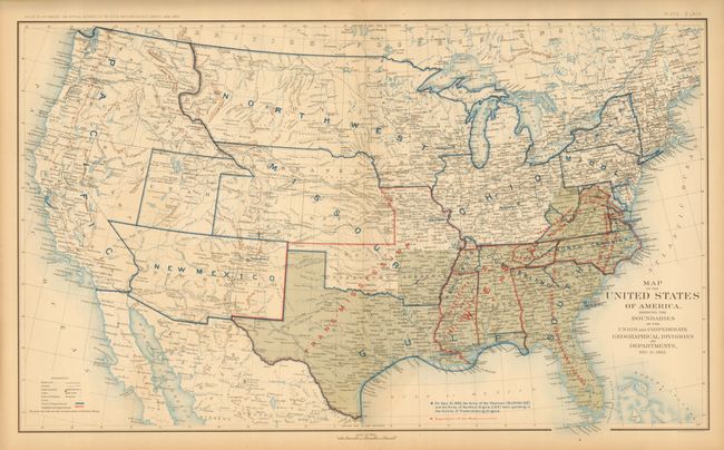
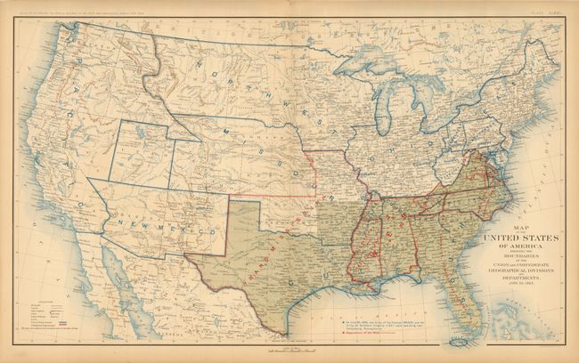
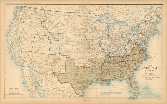
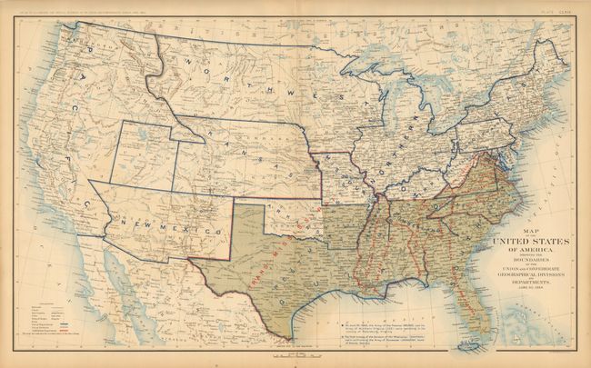
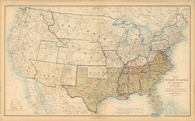
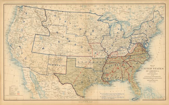
"[Lot of 10] Map of the United States of America, Showing the Boundaries of the Union and Confederate Geographical Divisions and Departments Plates CLXII - CLXXI", U.S. War Department

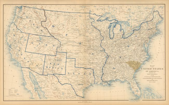
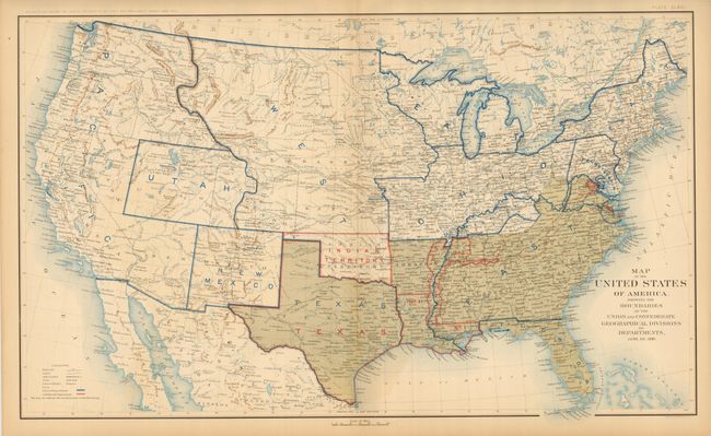
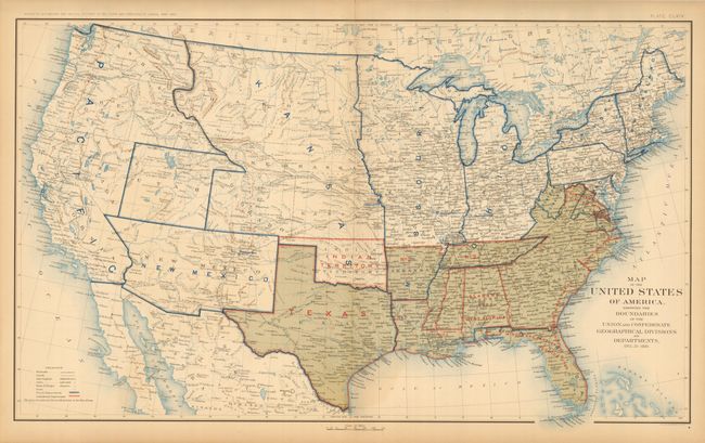
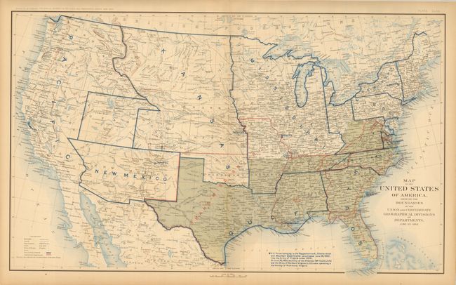
Subject: United States, Civil War

Period: 1891-95 (published)

Publication: Atlas to Accompany the Official Records of the Union and Confederate Armies

Color: Printed Color

Size:
27.8 x 16.5 inches
70.6 x 41.9 cm
Download High Resolution Image
(or just click on image to launch the Zoom viewer)

This is an interesting and historical set of Civil War maps. The first map is dated Dec. 31, 1860 and shows South Carolina as the only state that has seceded from the United States. Each of the following maps reflects changes every six months in Department Boundaries, status of the Confederate States, territorial boundary changes, and notations regarding the operations of Union Army forces. The detail in the West includes the location of Army posts, routes of early explorers, U.S. mail routes, the Santa Fe Trail, the Pony Express Route, etc. This complete collection of maps includes the dates Dec. 31, 1860; June 30, 1861; Dec. 31, 1861; June 30, 1862; Dec. 31, 1862; June 30, 1863; Dec. 31, 1863; June 30, 1864; Dec. 31, 1864; and April 9, 1865.

References:

Condition: A

Toned in margins, else fine.

Estimate: $800 - $1,000

Sold for: $1,600

Closed on 12/2/2009

Archived