Filtered by Category:Canada(Show All Categories)
Catalog Archive
3036 lots
Page 1 of 61
Auction 206, Lot 55
Subject: Cartographic Miscellany, Canada
The Canada Rose, 1858
Size: 9.1 x 9.1 inches (23.1 x 23.1 cm)
Estimate: $200 - $230
Views of Canada in a Souvenir Rose
Sold for: $150
Closed on 11/12/2025
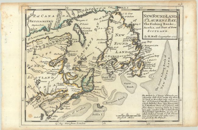
Auction 206, Lot 99
Subject: Eastern Canada
Moll, Herman
New Found Land St. Laurens Bay, the Fishing Banks, Acadia, and Part of New Scotland, 1729
Size: 10.7 x 7.9 inches (27.2 x 20.1 cm)
Estimate: $160 - $190
Sold for: $140
Closed on 11/12/2025
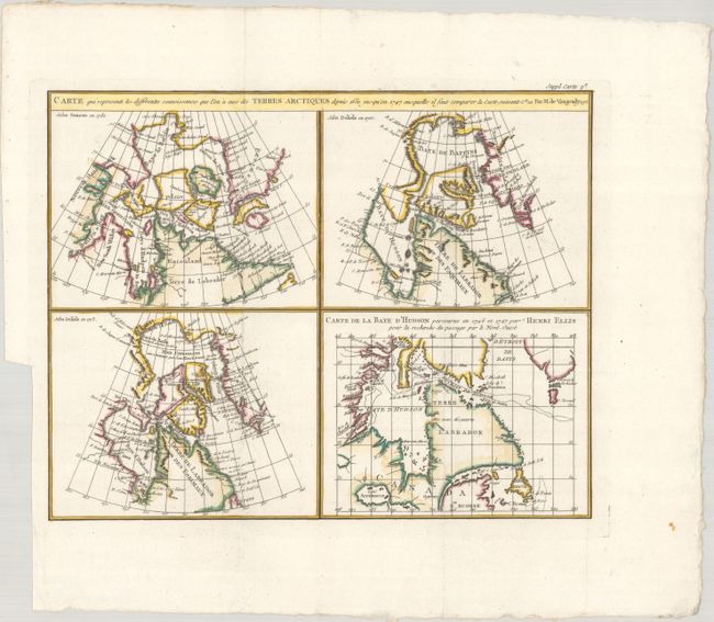
Auction 206, Lot 100
Subject: Eastern Canada
Robert de Vaugondy/Diderot
Carte qui Represente les Differentes Connoissances que l'on a eues des Terres Arctiques Depuis 1650 Jusqu'en 1747..., 1773
Size: 15.1 x 11.9 inches (38.4 x 30.2 cm)
Estimate: $140 - $170
Sold for: $70
Closed on 11/12/2025
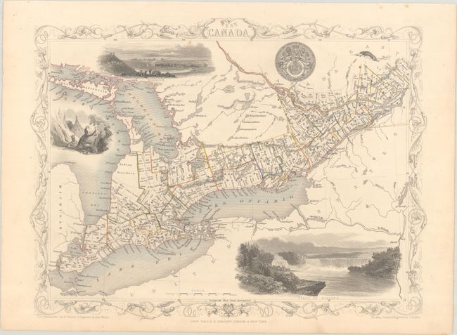
Auction 206, Lot 101
Subject: Eastern Canada
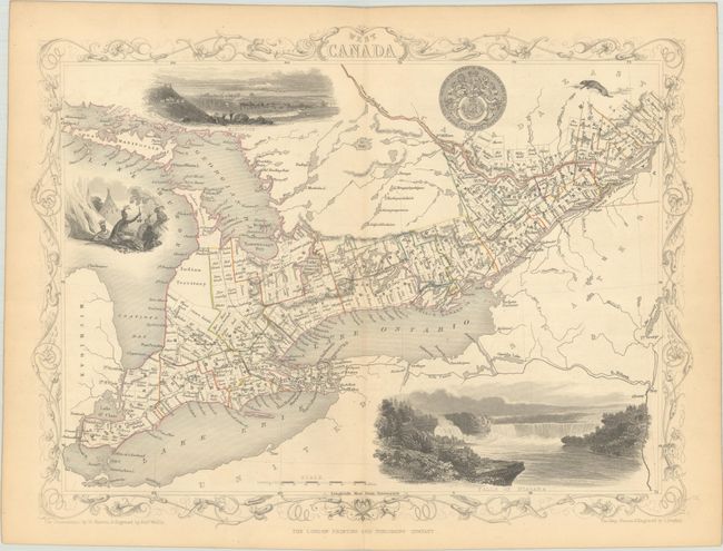
Tallis, John
[Lot of 2] West Canada [and] East Canada, and New Brunswick, 1850
Size: 12.9 x 9.8 inches (32.8 x 24.9 cm)
Estimate: $120 - $150
Sold for: $200
Closed on 11/12/2025
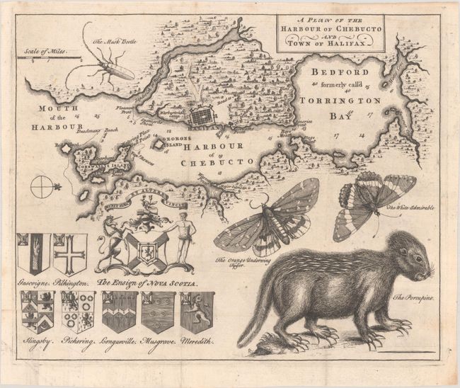
Auction 206, Lot 102
Subject: Halifax, Nova Scotia, Canada
A Plan of the Harbour of Chebucto and Town of Halifax, 1750
Size: 10.7 x 8.7 inches (27.2 x 22.1 cm)
Estimate: $600 - $750
Sold for: $600
Closed on 11/12/2025
Auction 206, Lot 103
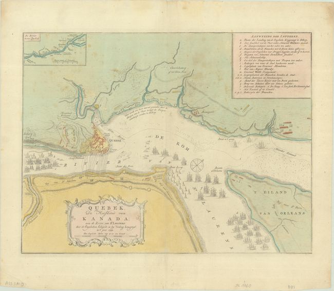
Subject: Quebec City & St. Lawrence River, Canada
Tirion, Isaac
Quebek, de Hoofdstad van Kanada; aan de Rivier van st. Laurens..., 1769
Size: 17 x 13 inches (43.2 x 33 cm)
Estimate: $160 - $190
Sold for: $80
Closed on 11/12/2025
Auction 206, Lot 104
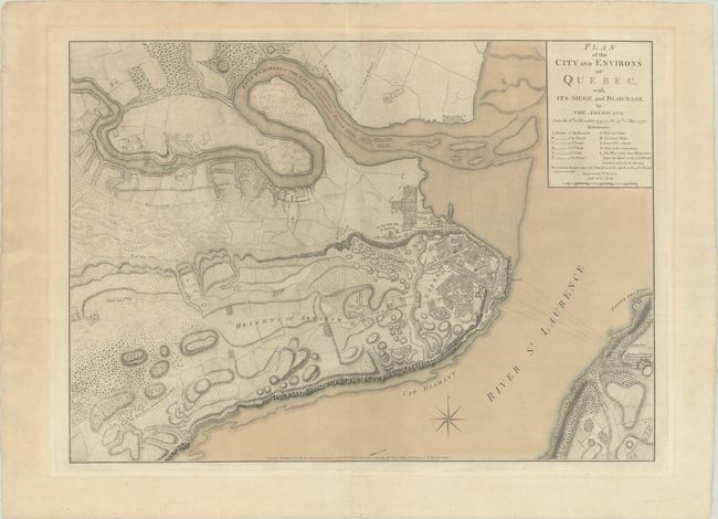
Subject: Quebec City, Canada
Faden, William
Plan of the City and Environs of Quebec, with Its Siege and Blockade by the Americans, from the 8th of December 1775 to the 13th of May 1776, 1776
Size: 24.3 x 17.4 inches (61.7 x 44.2 cm)
Estimate: $4,000 - $4,750
Important Revolutionary War Plan of Battle of Quebec in Contemporary Color
Sold for: $2,500
Closed on 11/12/2025
Auction 206, Lot 105
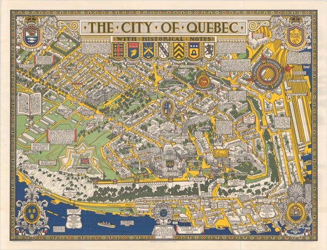
Subject: Quebec City, Canada
The City of Quebec with Historical Notes, 1932
Size: 33.4 x 25.1 inches (84.8 x 63.8 cm)
Estimate: $200 - $230
Sold for: $110
Closed on 11/12/2025
Auction 206, Lot 106
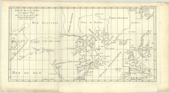
Subject: Colonial United States & Canada, Arctic
Robert de Vaugondy, Didier
Partie de la Carte du Capitaine Cluny Auteur d'un Ouvrage Anglois Intitule American Traveller Publie a Londres en 1769, 1773
Size: 16.4 x 8.6 inches (41.7 x 21.8 cm)
Estimate: $100 - $130
Sold for: $40
Closed on 11/12/2025
Auction 206, Lot 107
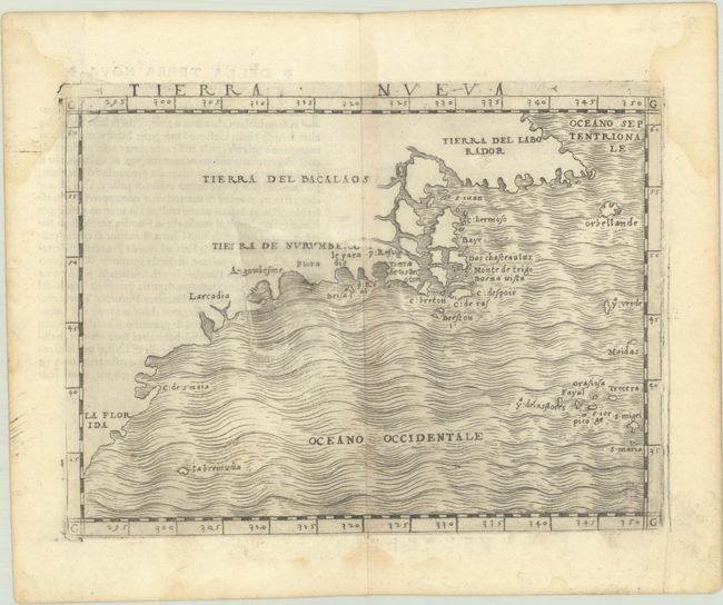
Subject: Eastern United States & Canada
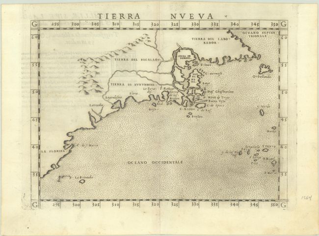
Ruscelli, Girolamo
Tierra Nueva, 1562
Size: 9.6 x 7.1 inches (24.4 x 18 cm)
Estimate: $1,100 - $1,400
First State of Ruscelli's Map of the East Coast
Sold for: $650
Closed on 11/12/2025
Auction 206, Lot 108
Subject: Colonial Eastern United States & Canada
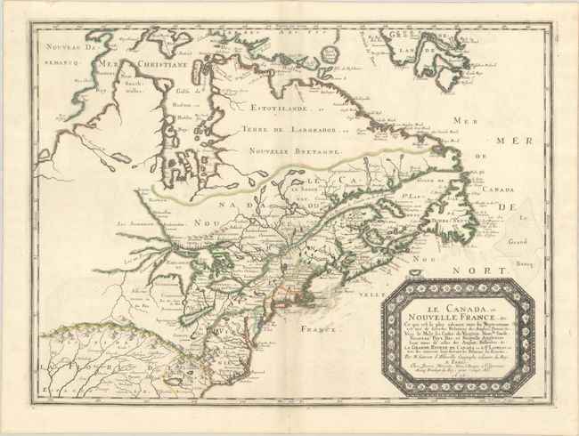
Sanson/Mariette
Le Canada, ou Nouvelle France, &c. ce qui est le Plus Advance Vers le Septentrion est Tire de Diverses Relations des Anglois, Danois, &c..., 1656
Size: 21.4 x 15.9 inches (54.4 x 40.4 cm)
Estimate: $4,000 - $4,750
Keystone Map for Great Lakes Collections
Unsold
Closed on 11/12/2025
Auction 206, Lot 109
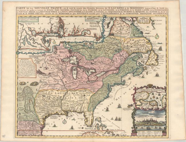
Subject: Colonial Eastern United States & Canada
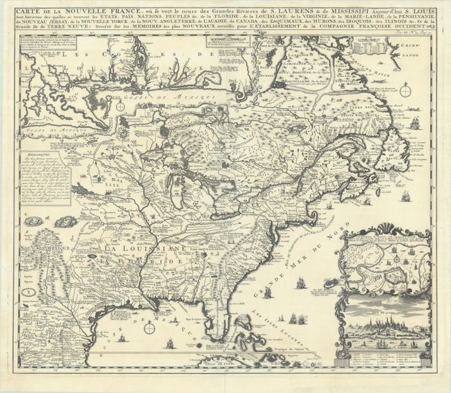
Chatelain, Henry Abraham
Carte de la Nouvelle France, ou se Voit le Cours des Grandes Rivieres de S. Laurens & de Mississipi Aujour d'hui S. Louis, aux Environs des-quelles se Trouvent les Etats, Pais, Nations, Peuples, &c. de la Floride, de la Louisiane, de la Virginie..., 1719
Size: 19.3 x 16.7 inches (49 x 42.4 cm)
Estimate: $2,000 - $2,300
One of the Most Informative 18th Century Maps of the French Possessions in North America
Unsold
Closed on 11/12/2025
Auction 206, Lot 110
Subject: Colonial Eastern United States & Canada
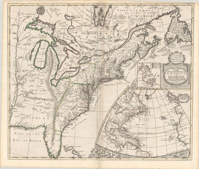
Senex, John
A New Map of the English Empire in America viz Virginia Maryland Carolina Pennsylvania New York New Iarsey New England Newfoundland New France &c., 1719
Size: 22.9 x 19.6 inches (58.2 x 49.8 cm)
Estimate: $2,400 - $3,000
Senex's Important Map of the American Colonies
Unsold
Closed on 11/12/2025
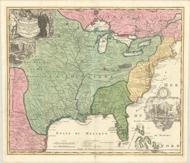
Auction 206, Lot 111
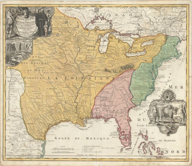
Subject: Colonial Eastern United States & Canada
Homann, Johann Baptist
Amplissimae Regionis Mississipi seu Provinciae Ludovicianae a R.P. Ludovico Hennepin Francisc Miss. in America Septentrionali Anno 1687..., 1720
Size: 22.8 x 19.2 inches (57.9 x 48.8 cm)
Estimate: $2,200 - $2,500
Striking Map of Colonial America with Bison Vignette
Sold for: $2,500
Closed on 11/12/2025
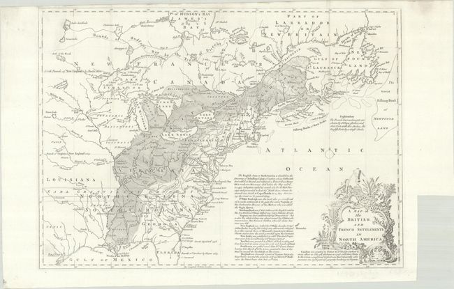
Auction 206, Lot 112
Subject: Colonial Eastern United States & Canada
Lodge, John
A Map of the British and French Settlements in North America, 1755
Size: 15.2 x 10.9 inches (38.6 x 27.7 cm)
Estimate: $550 - $700
Unsold
Closed on 11/12/2025
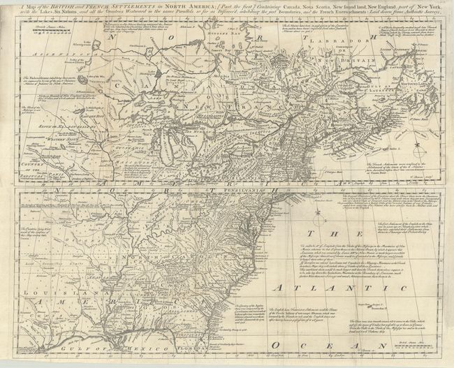
Auction 206, Lot 113
Subject: Colonial Eastern United States & Canada
Bowen, Thomas
[Lot of 2] A Map of the British and French Settlements in North America; [Part the First] Containing Canada, Nova Scotia, New Found Land, New England... [and] ... [Part the Second] Containing Part of New York, Pensilvania, New Jersey, Mary Land..., 1755
Size: 19 x 7.5 inches (48.3 x 19.1 cm)
Estimate: $1,300 - $1,600
Scarce Pair of Maps Showing Colonial America During the French and Indian War
Sold for: $950
Closed on 11/12/2025
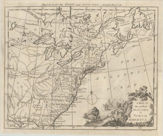
Auction 206, Lot 114
Subject: Colonial Eastern United States & Canada
A Map of the Present Seat of War in North America, 1776
Size: 9.4 x 7.6 inches (23.9 x 19.3 cm)
Estimate: $375 - $450
Rare Revolutionary War-Era Almanac Map of Colonial America
Sold for: $325
Closed on 11/12/2025
Auction 206, Lot 115
Subject: Colonial Eastern United States & Canada
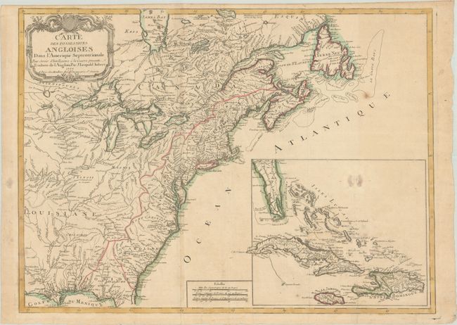
Imbert, J. Leopold
Carte des Possessions Angloises dans l'Amerique Septentrionale pour Servir d'Intelligence a la Guerre Presente Traduite de l'Anglois, 1777
Size: 29 x 21.3 inches (73.7 x 54.1 cm)
Estimate: $1,800 - $2,200
First Edition of Important Revolutionary War Map
Unsold
Closed on 11/12/2025
Auction 206, Lot 116
Subject: Eastern United States & Canada, Franklin
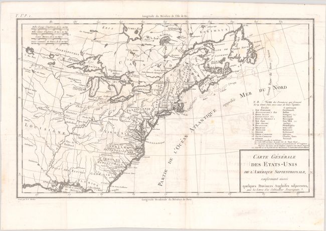
Crevecoeur, Michel Guillaume De
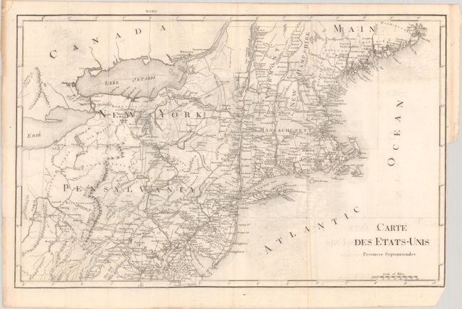
Carte Generale des Etats-Unis de l'Amerique Septentrionale, Renfermant Aussi Quelques Provinces Angloises Adjacentes, pour les Lettres d'un Cultivateur Ameriquain, 1787
Size: 16.9 x 10.3 inches (42.9 x 26.2 cm)
Estimate: $750 - $900
One of the Earliest Maps to Name Franklinia
Sold for: $475
Closed on 11/12/2025
Auction 206, Lot 117
Subject: Eastern United States & Canada
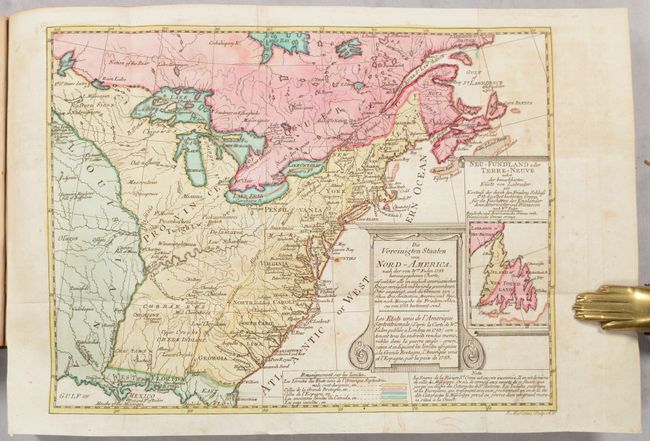
Sotzmann, Daniel Friedrich
[Map in Book] Die Vereinigten Staaten von Nord-America... / Les Etats Unis de l'Amerique Septentrionale... [in] Geschichte der Revolution von Nord-America..., 1788
Size: 10.1 x 7.7 inches (25.7 x 19.6 cm)
Estimate: $700 - $850
Rare, Multi-Lingual Reduced Version of Faden's Map of 1783
Unsold
Closed on 11/12/2025
Auction 206, Lot 118
Subject: Eastern United States & Canada
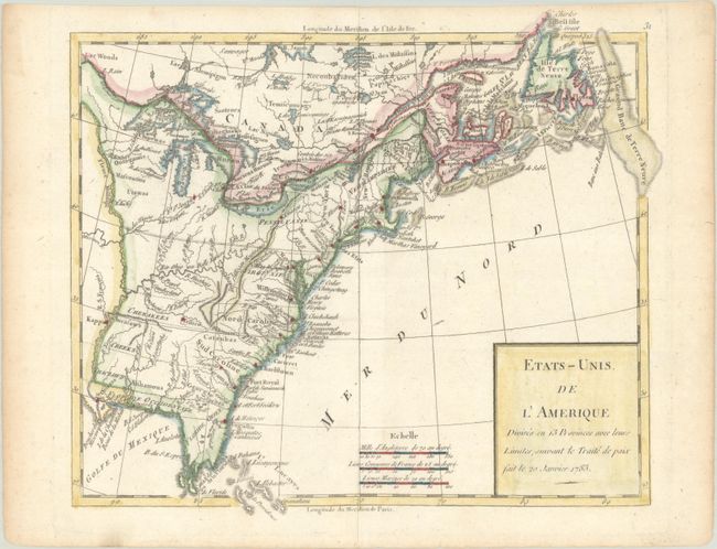
Robert de Vaugondy/Delamarche
Etats-Unis de l'Amerique Divises en 13 Provinces avec Leurs Limites, Suivant le Traite de Paix Fait le 20 Janvier 1783, 1791
Size: 9.4 x 8.2 inches (23.9 x 20.8 cm)
Estimate: $150 - $180
Sold for: $130
Closed on 11/12/2025
Auction 206, Lot 119
Subject: Eastern United States & Canada
Rochefoucald Liancourt, Francois Alexander
[8 Volumes] Voyage dans les Etats-Unis d'Amerique, Fait en 1795, 1796 et 1797, 1799
Size: 5 x 8.2 inches (12.7 x 20.8 cm)
Estimate: $1,200 - $1,500
Unsold
Closed on 11/12/2025
Auction 206, Lot 120
Subject: Colonial Eastern United States & Canada
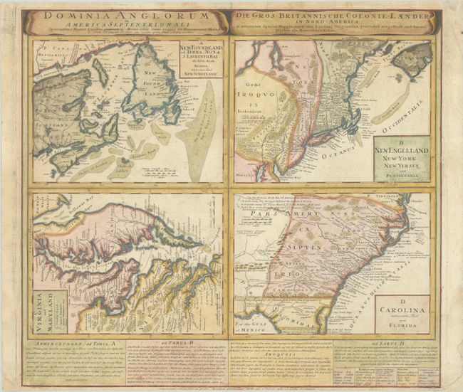
Homann Heirs
Dominia Anglorum in America Septentrionali... / Die Gros-Britannische Colonie-Laender, in Nord-America..., 1740
Size: 22 x 19.9 inches (55.9 x 50.5 cm)
Estimate: $475 - $600
Sold for: $350
Closed on 11/12/2025
Auction 206, Lot 121
Subject: Colonial Northeastern United States & Canada
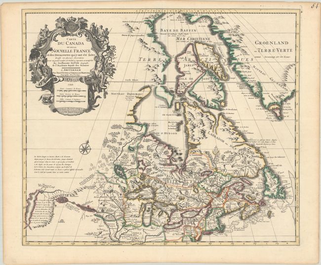
Delisle/Covens & Mortier
Carte du Canada ou de la Nouvelle France et des Decouvertes qui y ont ete Faites Dressee sur Plusieurs Observations et sur un Grand Nombre de Relations Imprimees ou Manuscrites, 1730
Size: 22.4 x 19.3 inches (56.9 x 49 cm)
Estimate: $1,200 - $1,500
One of the Most Influential Maps of Canada, Great Lakes & Upper Midwest
Sold for: $600
Closed on 11/12/2025
Auction 206, Lot 122
Subject: Colonial Northeastern United States & Canada
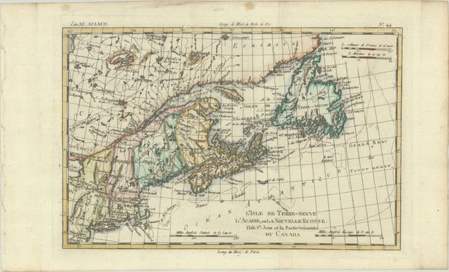
Bonne, Rigobert
L'Isle de Terre-Neuve l'Acadie, ou la Nouvelle Ecosse, l'Isle St. Jean et la Partie Orientale du Canada, 1780
Size: 12.5 x 8.3 inches (31.8 x 21.1 cm)
Estimate: $140 - $170
Unsold
Closed on 11/12/2025
Auction 206, Lot 123
Subject: Northeastern United States & Canada, Great Lakes
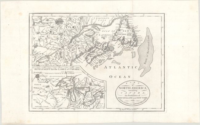
Part of North America, Containing Canada, the North Parts of New England and New York; with Nova Scotia and Newfoundland, 1794
Size: 11.3 x 8.2 inches (28.7 x 20.8 cm)
Estimate: $160 - $190
Unsold
Closed on 11/12/2025
Auction 206, Lot 124
Subject: Northeastern United States & Canada
Morse, Jedidiah (Rev.)
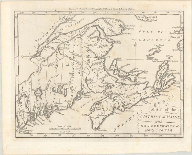
A Map of the District of Maine with New Brunswick & Nova Scotia, 1796
Size: 9.1 x 6.9 inches (23.1 x 17.5 cm)
Estimate: $150 - $180
Sold for: $110
Closed on 11/12/2025
Auction 206, Lot 125
Subject: Northeastern United States & Canada
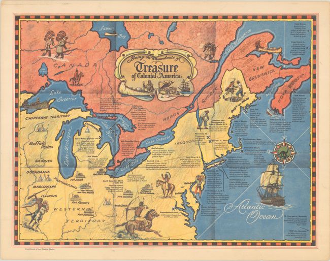
Being the Whereabouts of Treasure of Colonial America, 1950
Size: 13 x 10 inches (33 x 25.4 cm)
Estimate: $180 - $220
Unrecorded Pictorial Treasure Map of Colonial America
Sold for: $140
Closed on 11/12/2025
Auction 206, Lot 126
Subject: Colonial Great Lakes
Bellin/Homann Heirs
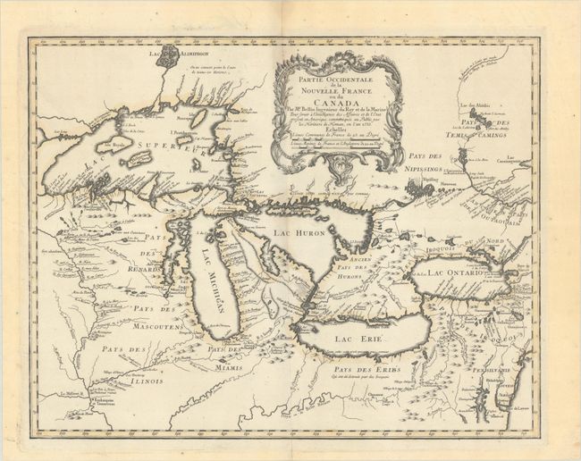
Partie Occidentale de la Nouvelle France ou du Canada, 1755
Size: 21.3 x 16.8 inches (54.1 x 42.7 cm)
Estimate: $1,500 - $1,800
Influential Map of the Great Lakes
Sold for: $1,000
Closed on 11/12/2025
Auction 206, Lot 127
Subject: Northwestern United States & Canada, Alaska
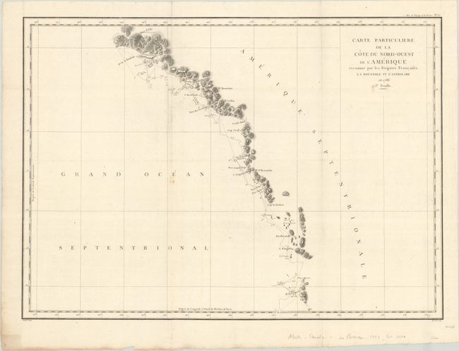
La Perouse, Comte Jean F. Galoup, de
[Lot of 2] Carte Particuliere de la Cote du Nord-Ouest de l'Amerique Reconnue par les Fregates Francaises la Boussole et l'Astrolabe en 1786. 1e Feuille [and] ... 2e Feuille, 1797
Size: 27.1 x 19.5 inches (68.8 x 49.5 cm)
Estimate: $275 - $350
Sold for: $100
Closed on 11/12/2025
Auction 205, Lot 99
Subject: Canada
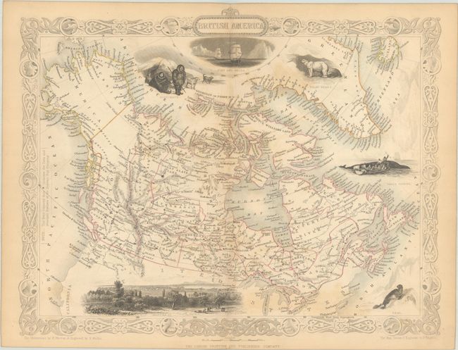
Tallis, John
British America, 1850
Size: 12.9 x 10.1 inches (32.8 x 25.7 cm)
Estimate: $140 - $170
Unsold
Closed on 9/10/2025
Auction 205, Lot 100
Subject: Eastern Canada, Great Lakes
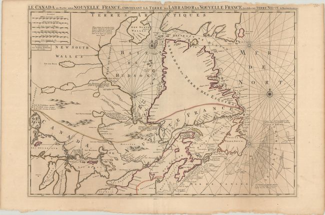
Mortier, Pierre
Le Canada ou Partie de la Nouvelle France Contenant la Terre de Labrador la Nouvelle France, les Isles de Terre Neuve. De Nostre Dame &c:, 1693
Size: 30.9 x 21.6 inches (78.5 x 54.9 cm)
Estimate: $1,400 - $1,700
Unsold
Closed on 9/10/2025
Auction 205, Lot 101
Subject: Eastern Canada
Tallis, John
[Lot of 2] West Canada [and] East Canada, and New Brunswick, 1850
Size: 13.3 x 10.2 inches (33.8 x 25.9 cm)
Estimate: $150 - $180
Sold for: $80
Closed on 9/10/2025
Auction 205, Lot 102
Subject: Nova Scotia, Canada
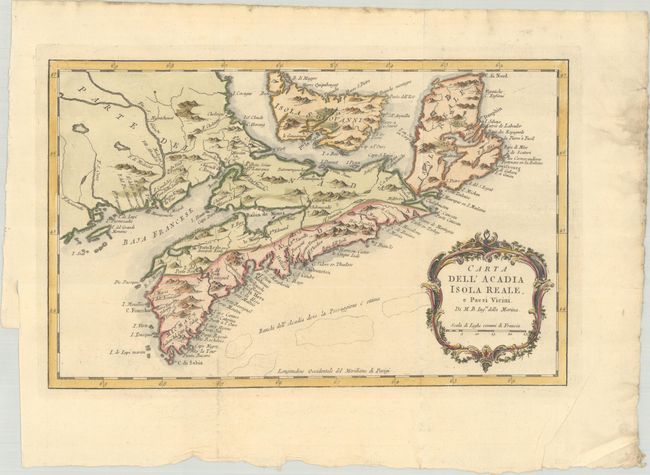
Bellin, Jacques Nicolas
Carta dell' Acadia Isola Reale, e Paesi Vicini, 1781
Size: 12.8 x 8 inches (32.5 x 20.3 cm)
Estimate: $160 - $190
Sold for: $130
Closed on 9/10/2025
Auction 205, Lot 103
Subject: Halifax, Nova Scotia, Canada
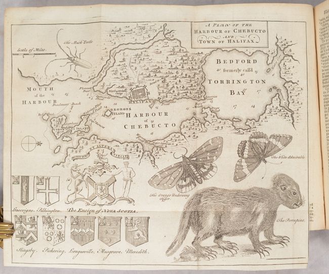
[Map in Book] A Plan of the Harbour of Chebucto and Town of Halifax [in] The Gentleman's Magazine, and Historical Chronicle. Volume XX. For the Year M.DCC.L, 1750
Size: 10.8 x 8.7 inches (27.4 x 22.1 cm)
Estimate: $600 - $750
Sold for: $450
Closed on 9/10/2025
Auction 205, Lot 104
Subject: Gulf of St. Lawrence, Canada
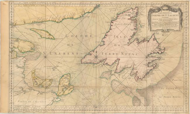
Bellin, Jacques Nicolas
Carte Reduite du Golphe de St. Laurent Contenant l'Isle de Terre-Neuve et Partie de la Coste des Esquimaux..., 1754
Size: 33.8 x 21 inches (85.9 x 53.3 cm)
Estimate: $240 - $300
Sold for: $180
Closed on 9/10/2025
Auction 205, Lot 105
Subject: Quebec, Canada
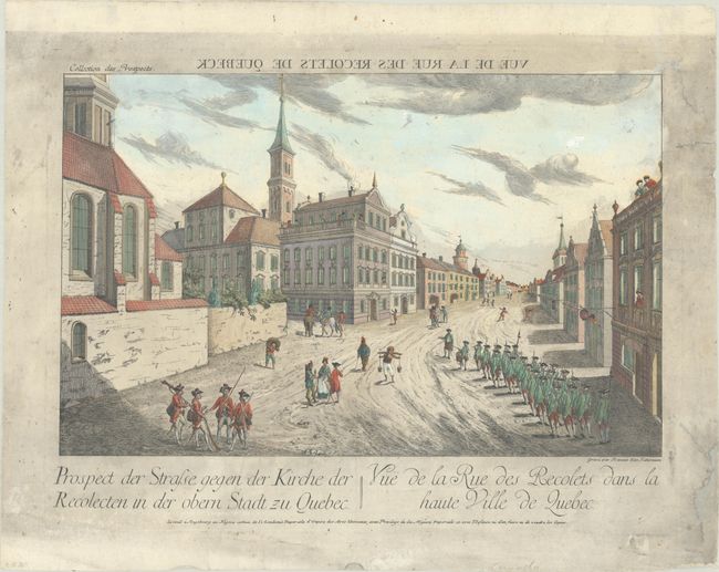
Haberman, F. X.
Prospect der Strasse, Gegen der Kirche der Recolecten in der Obern Stadt zu Quebec / Vue de la Rue des Recolets dans la Haute Ville de Quebec , 1760
Size: 15.6 x 9.9 inches (39.6 x 25.1 cm)
Estimate: $110 - $140
Sold for: $55
Closed on 9/10/2025
Auction 205, Lot 106
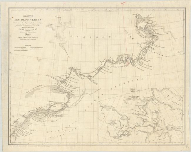
Subject: Northern Canada, Back River
Back, George (Adm. Sir)
Carte des Decouvertes Faites dans les Regions Polaires Arctiques Pendant les Annees 1833 et 1834 Levee et Dessinee par le Capitaine Back..., 1837
Size: 19 x 14.9 inches (48.3 x 37.8 cm)
Estimate: $275 - $350
Scarce Map Showing the Back River Expedition
Unsold
Closed on 9/10/2025
Auction 205, Lot 107
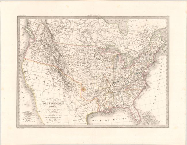
Subject: United States & Canada
Lapie, Alexander Emile & Pierre
Carte des Etats-Unis d'Amerique, du Canada, du Nouveau Brunswick et d'une Partie de la Nouvelle Bretagne, 1832
Size: 21.3 x 15.5 inches (54.1 x 39.4 cm)
Estimate: $240 - $300
Sold for: $180
Closed on 9/10/2025
Auction 205, Lot 108
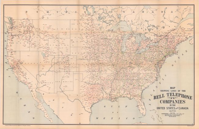
Subject: United States & Canada
Map Showing Lines of the Bell Telephone Companies in the United States and Canada, 1905
Size: 39.3 x 25.1 inches (99.8 x 63.8 cm)
Estimate: $475 - $600
Rare AT&T Map Showing Phone Lines in the Early Days of the 20th Century
Sold for: $300
Closed on 9/10/2025
Auction 205, Lot 109
Subject: Eastern United States & Canada
Gastaldi, Giacomo
Tierra Nueva, 1548
Size: 6.8 x 5 inches (17.3 x 12.7 cm)
Estimate: $2,750 - $3,500
The First Published Map Devoted to the East Coast of North America
Sold for: $2,300
Closed on 9/10/2025
Auction 205, Lot 110
Subject: Colonial Eastern United States & Canada
Homann, Johann Baptist
Amplissimae Regionis Mississipi seu Provinciae Ludovicianae a R.P. Ludovico Hennepin Francisc Miss in America Septentrionali Anno 1687..., 1716
Size: 22.8 x 19.2 inches (57.9 x 48.8 cm)
Estimate: $2,200 - $2,500
Striking Map of Colonial America with Bison Vignette
Sold for: $1,600
Closed on 9/10/2025
Auction 205, Lot 111
Subject: Colonial Eastern United States & Canada
Chatelain, Henry Abraham
Carte de la Nouvelle France, ou se Voit le Cours des Grandes Rivieres de S. Laurens & de Mississipi Aujour d'hui S. Louis, aux Environs des-quelles se Trouvent les Etats, Pais, Nations, Peuples &c. de la Floride, de la Louisiane, de la Virginie..., 1719
Size: 19.4 x 16.6 inches (49.3 x 42.2 cm)
Estimate: $3,000 - $3,750
One of the Most Informative 18th Century Maps of the French Possessions in North America
Unsold
Closed on 9/10/2025
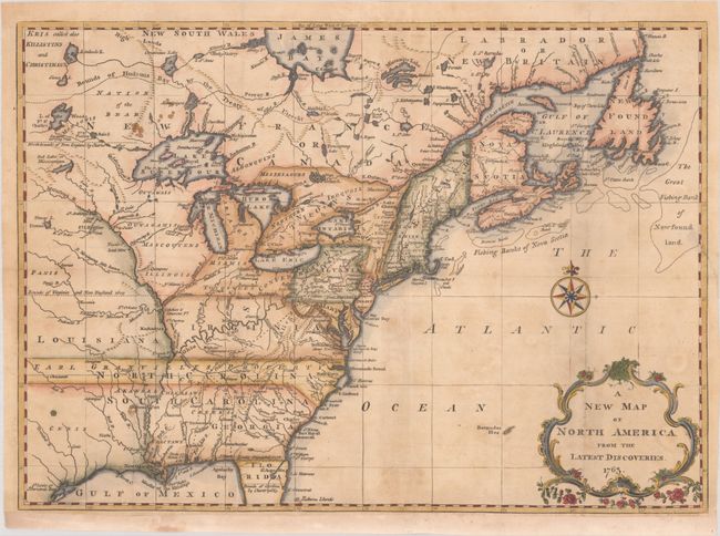
Auction 205, Lot 112
Subject: Colonial Eastern United States & Canada
Spilsbury, J.
A New Map of North America from the Latest Discoveries, 1763
Size: 15.2 x 10.8 inches (38.6 x 27.4 cm)
Estimate: $300 - $375
Sold for: $350
Closed on 9/10/2025
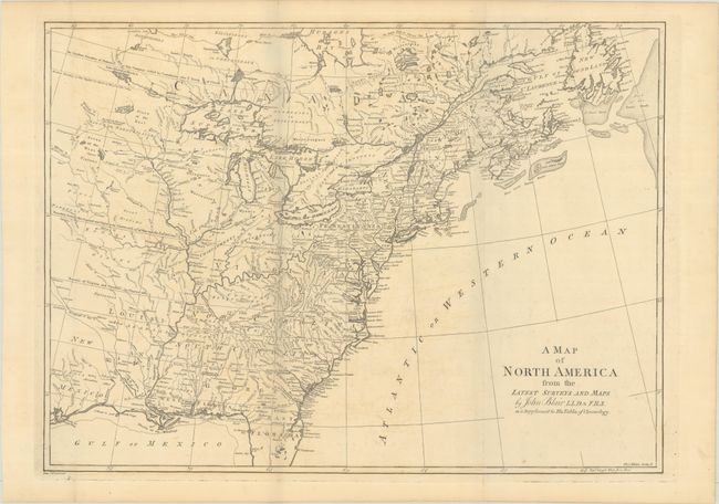
Auction 205, Lot 113
Subject: Colonial Eastern United States & Canada
Blair, Rev. John
A Map of North America from the Latest Surveys and Maps, 1803
Size: 22.8 x 16.6 inches (57.9 x 42.2 cm)
Estimate: $500 - $650
Unsold
Closed on 9/10/2025
Auction 205, Lot 114
Subject: Eastern United States & Canada, Franklin
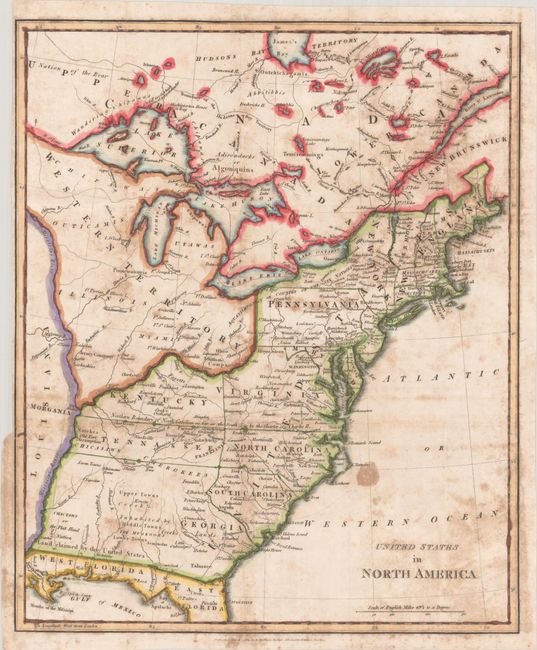
Phillips, Richard (Sir)
United States in North America, 1809
Size: 13.4 x 16.1 inches (34 x 40.9 cm)
Estimate: $750 - $900
Features the Short-Lived Franklinia and Morgania
Sold for: $650
Closed on 9/10/2025
Auction 205, Lot 115
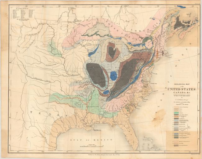
Subject: Eastern United States & Canada, Geology
Lyell, Charles
Geological Map of the United States Canada &c. Compiled from the State Surveys of the U.S. and Other Sources, 1845
Size: 19.8 x 15.3 inches (50.3 x 38.9 cm)
Estimate: $475 - $600
Unsold
Closed on 9/10/2025
Auction 205, Lot 116
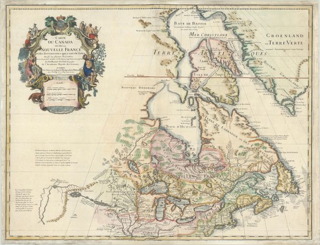
Subject: Colonial Northeastern United States & Canada, Great Lakes
Delisle, Guillaume
Carte du Canada ou de la Nouvelle France et des Decouvertes qui y ont ete Faites Dressee sur Plusieurs Observations et sur un Grand Nombre de Relations Imprimees ou Manuscrites, 1703
Size: 25.6 x 19.7 inches (65 x 50 cm)
Estimate: $1,900 - $2,200
Unrecorded State of Delisle's Seminal Map of Canada and the Great Lakes
Sold for: $1,400
Closed on 9/10/2025
Auction 205, Lot 117
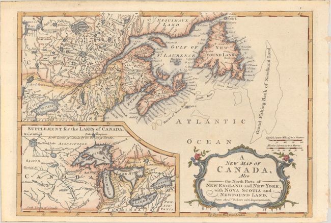
Subject: Colonial Northeastern United States & Canada, Great Lakes
Anon.
A New Map of Canada, Also the North Parts of New England and New York; with Nova Scotia and Newfound Land. From the Sr. Robert with Improvements, 1766
Size: 11.8 x 8.2 inches (30 x 20.8 cm)
Estimate: $275 - $350
Sold for: $200
Closed on 9/10/2025
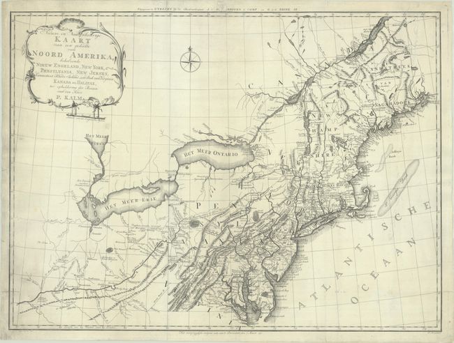
Auction 205, Lot 118
Subject: Colonial Northeastern United States & Canada
Kalm, Peter
Nieuwe en Nauwkeurige Kaart van een Gedeelte van Noord Amerika, Behelzende Nieuw Engeland, New York, Pensylvania, New Jersey, Connecticut, Rhode Island, een Stuk van Virginia, Kanada en Halifax..., 1772
Size: 29.9 x 22.1 inches (75.9 x 56.1 cm)
Estimate: $900 - $1,100
Sold for: $750
Closed on 9/10/2025
3036 lots
Page 1 of 61


