Filtered by Category:Books, Atlases, Travel Guides, Geography & Reference Books(Show All Categories)
Showing results for:Auction 136
Catalog Archive
57 lots
Page 1 of 2
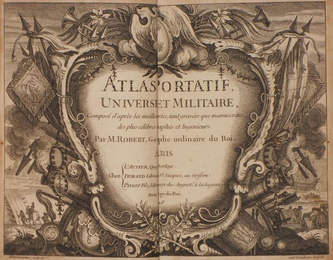
Auction 136, Lot 789
Subject: Atlases
Robert de Vaugondy
Atlas Portatif, Universel et Militaire…, 1748
Size: 5.4 x 7.8 inches (13.7 x 19.8 cm)
Estimate: $3,000 - $4,000
Unsold
Closed on 6/1/2011
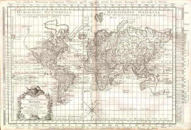
Auction 136, Lot 790
Subject: Atlases
Philippe De Pretot, Etienne Andre
Recueil de Cartes pour l'Etude de l'Histoire Romaine [bound with] Recueil de Cartes pour l'Etude de l'Histoire Ancienne, 1787
Size: 10 x 12 inches (25.4 x 30.5 cm)
Estimate: $1,200 - $1,500
Sold for: $900
Closed on 6/1/2011
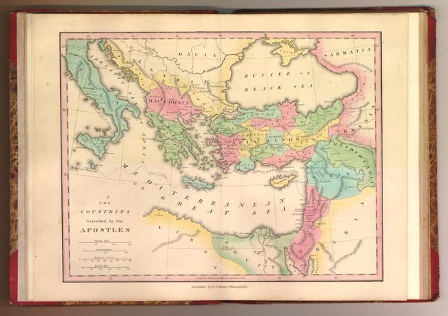
Auction 136, Lot 791
Subject: Atlases
Tanner, Henry Schenck
An Atlas of Ancient Geography Comprehended in Sixteen Maps, Selected from the most Approved Works, to elucidate the Writings of the Ancient Authors…, 1826
Size: 10.8 x 8.5 inches (27.4 x 21.6 cm)
Estimate: $500 - $700
Sold for: $1,100
Closed on 6/1/2011
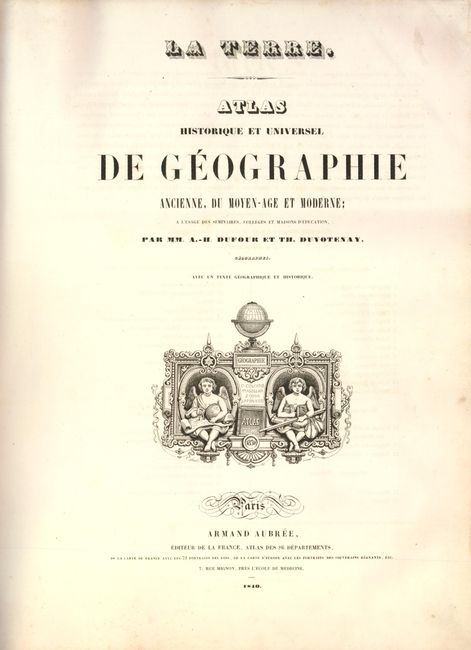
Auction 136, Lot 792
Subject: Atlases
Dufour/Duvotenay
Atlas Historique et Universel de Geographie Ancienne, du Moyen-Age et Moderne, 1840
Size: 12.3 x 16.3 inches (31.2 x 41.4 cm)
Estimate: $650 - $800
Sold for: $475
Closed on 6/1/2011
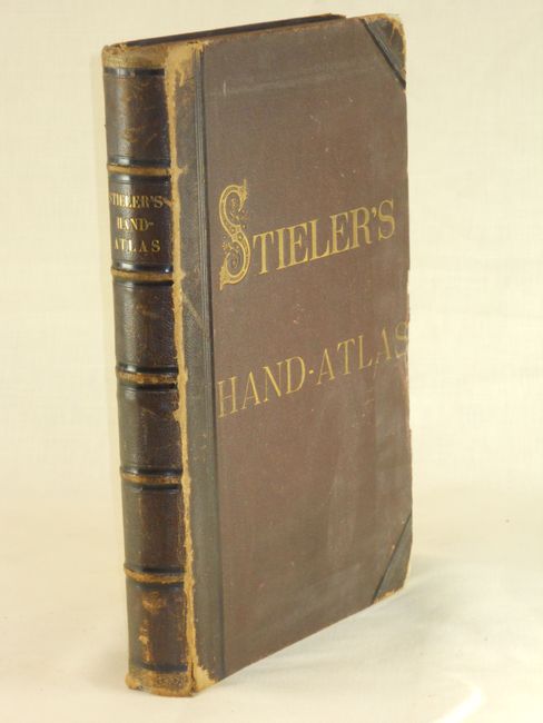
Auction 136, Lot 793
Subject: Atlases
Stieler, Adolph
[Lot of 2] Stieler's Hand Atlas [and] Stieler's Schul-Atlas, 1840-1879
Size: 10.5 x 16 inches (26.7 x 40.6 cm)
Estimate: $300 - $400
Sold for: $325
Closed on 6/1/2011
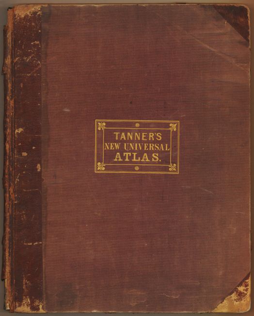
Auction 136, Lot 794
Subject: Atlases
Tanner, Henry Schenck
A New Universal Atlas Containing Maps of the Various Empires, Kingdoms, States and Republics of the World…, 1842
Size: 14.4 x 18.8 inches (36.6 x 47.8 cm)
Estimate: $7,500 - $8,500
Sold for: $11,000
Closed on 6/1/2011
Auction 136, Lot 795
Subject: Atlases
Thomas, Cowperthwait & Co.
A New Universal Atlas Containing Maps of the Various Empires, Kingdoms, States and Republics of the World…, 1854
Size: 13.8 x 17.3 inches (35.1 x 43.9 cm)
Estimate: $2,000 - $2,500
Sold for: $2,500
Closed on 6/1/2011
Auction 136, Lot 796
Subject: Atlases
Colton, George Woolworth
Colton's Atlas of the World Illustrating Physical and Political Geography Volume I and II, 1855-56
Size: 16.8 x 19.2 inches (42.7 x 48.8 cm)
Estimate: $2,500 - $3,250
Sold for: $2,500
Closed on 6/1/2011
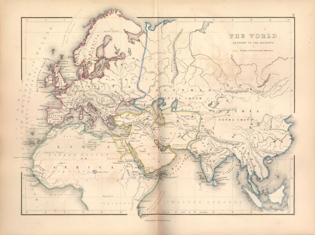
Auction 136, Lot 797
Subject: Atlases
Hughes, William
An Atlas of Classical Geography. Constructed by William Hughes … Containing Fifty-Two Maps and Plans on Twenty-Six Plates, 1859
Size: 7.2 x 10.3 inches (18.3 x 26.2 cm)
Estimate: $100 - $150
Sold for: $160
Closed on 6/1/2011
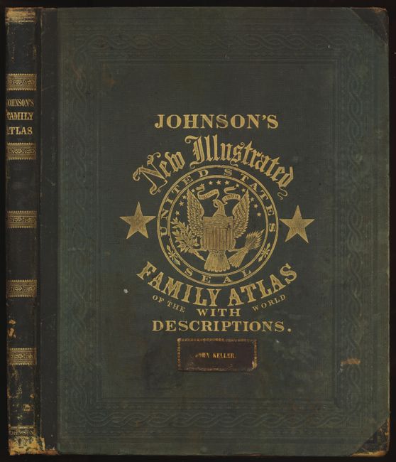
Auction 136, Lot 798
Subject: Atlases
Johnson and Ward
Johnson's New Illustrated Family Atlas of the World…, 1863
Size: 15 x 18.7 inches (38.1 x 47.5 cm)
Estimate: $1,400 - $1,800
Sold for: $1,500
Closed on 6/1/2011
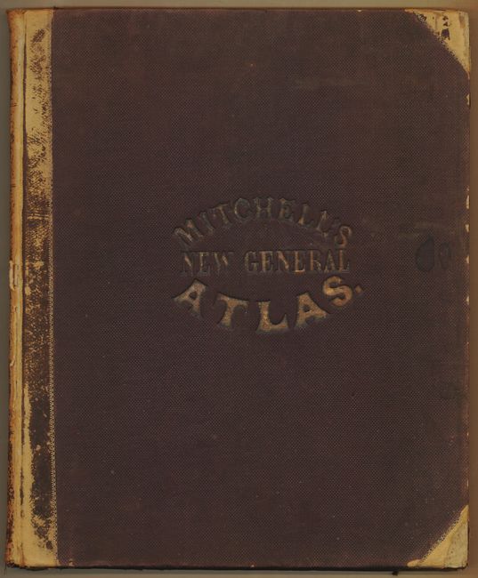
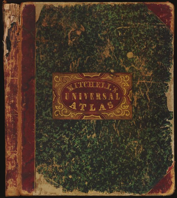
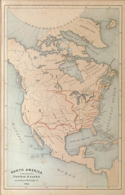
Auction 136, Lot 799
Subject: Atlases
Mitchell, Samuel Augustus
Mitchell's New General Atlas, containing Maps of the Various Counties of the World, Plans of Cities, Etc…, 1864
Size: 13 x 16 inches (33 x 40.6 cm)
Estimate: $1,200 - $1,600
Sold for: $850
Closed on 6/1/2011
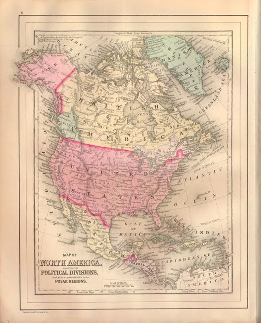
Auction 136, Lot 800
Subject: Atlases
Gage, Rev. William L.
A Modern Historical Atlas for the Use of Colleges, Schools, and General Readers, 1869
Size: 5.8 x 9 inches (14.7 x 22.9 cm)
Estimate: $120 - $150
Sold for: $160
Closed on 6/1/2011
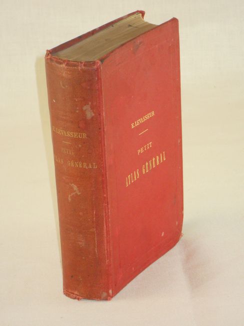
Auction 136, Lot 801
Subject: Atlases
Levasseur/Perigot
Petit Atlas General (Terre, Europe, France) Geographie et Statistique…Premiere Edition, 1870
Size: 5.5 x 8 inches (14 x 20.3 cm)
Estimate: $200 - $275
Sold for: $150
Closed on 6/1/2011
Auction 136, Lot 802
Subject: Atlases
Mitchell/Bradley
Mitchell's New General Atlas, containing Maps of the Various Counties of the World, Plans of Cities, Etc…, 1887
Size: 13.4 x 16 inches (34 x 40.6 cm)
Estimate: $900 - $1,200
Unsold
Closed on 6/1/2011
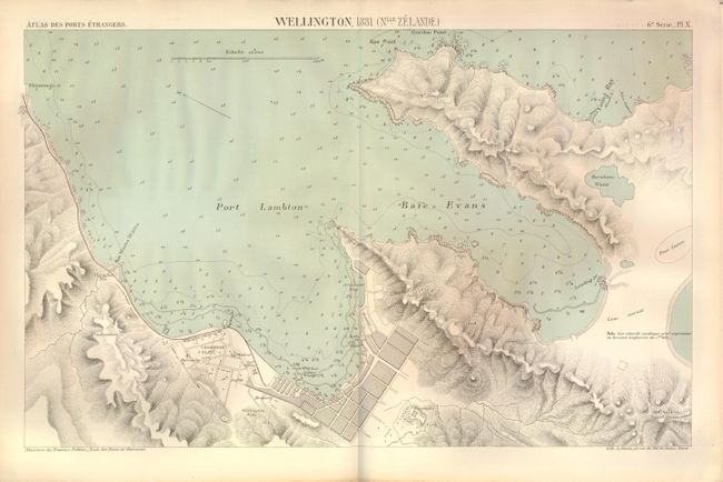
Auction 136, Lot 803
Subject: Atlases
Atlas des Ports Etrangers, 1890
Size: 10.5 x 13.3 inches (26.7 x 33.8 cm)
Estimate: $200 - $300
Scarce plans of New Zealand harbors
Sold for: $150
Closed on 6/1/2011
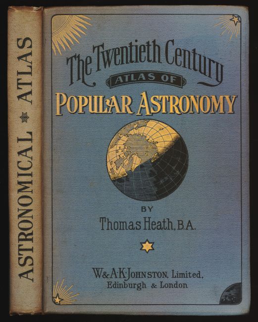
Auction 136, Lot 804
Subject: Atlases
Johnston, W. & A.K.
The Twentieth Century Atlas of Popular Astronomy, 1903
Size: 8 x 11 inches (20.3 x 27.9 cm)
Estimate: $100 - $140
Sold for: $120
Closed on 6/1/2011
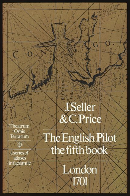
Auction 136, Lot 805
Subject: Atlases
Seller and Price
[Facsimile Atlas] The English Pilot The Fifth Book, 1973
Size: 12 x 18 inches (30.5 x 45.7 cm)
Estimate: $250 - $325
Sold for: $180
Closed on 6/1/2011
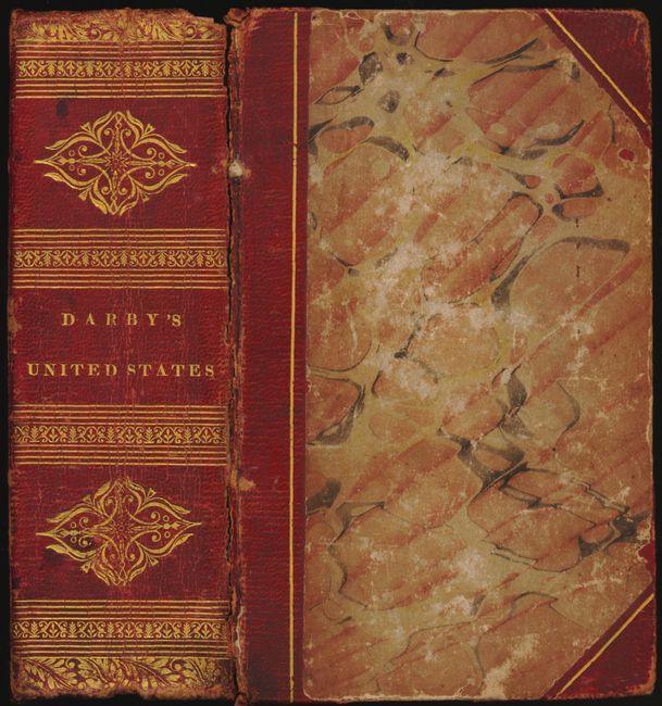
Auction 136, Lot 806
Subject: Geography Books, United States
Darby, William
View of the United States, Historical, Geographical, and Statistical…, 1828
Size: 4 x 5.8 inches (10.2 x 14.7 cm)
Estimate: $900 - $1,200
Unsold
Closed on 6/1/2011
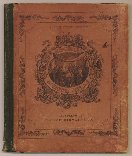
Auction 136, Lot 807
Subject: Geography Books
Mitchell, Samuel Augustus
[Lot of 2] Mitchell's School Atlas Comprising Map and Tables Designed to Accompany Mitchell's School and Family Geography [and] Mitchell's Geographical Question Book…, 1855
Size: See Description
Estimate: $200 - $300
Sold for: $140
Closed on 6/1/2011
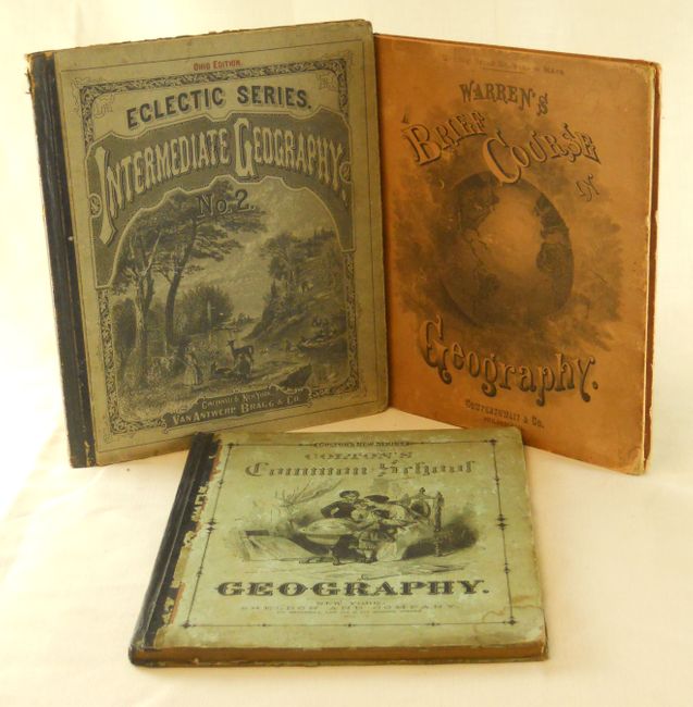
Auction 136, Lot 808
Subject: Geography Books
[Lot of 3 - School Geographies], 1872-1881
Size: 10 x 12.5 inches (25.4 x 31.8 cm)
Estimate: $100 - $140
Sold for: $60
Closed on 6/1/2011
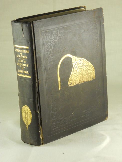
Auction 136, Lot 809
Subject: Exploration and Surveys, New York
Hall, James
Natural History of New York. Geology of New York. Part IV, 1843
Size: 9.8 x 12 inches (24.9 x 30.5 cm)
Estimate: $300 - $375
Complete with Hall's important Geological Map of the Middle and Western States
Sold for: $220
Closed on 6/1/2011
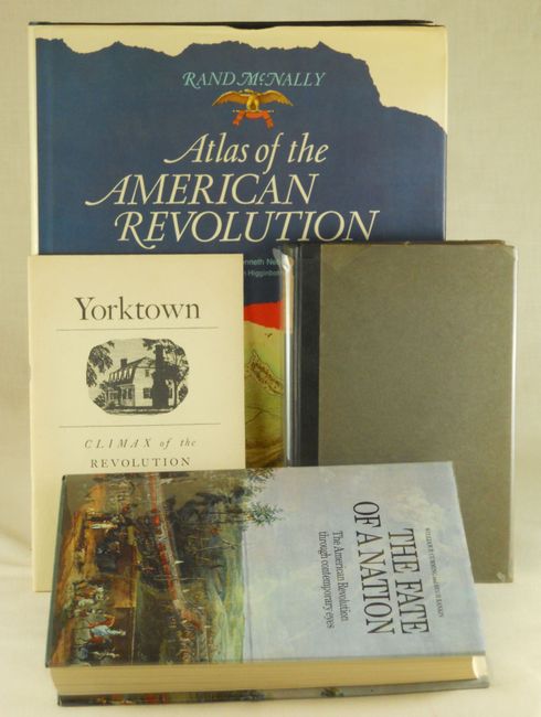
Auction 136, Lot 810
Subject: Reference Books - American Revolution
[Lot of 4 - Cartographic References] Atlas of the Revolution [and] The Fate of a Nation… [and] British Headquarters Maps and Sketches… [and] Yorktown: Climax of the Revolution, 1828-1975
Size: See Description
Estimate: $200 - $250
Unsold
Closed on 6/1/2011

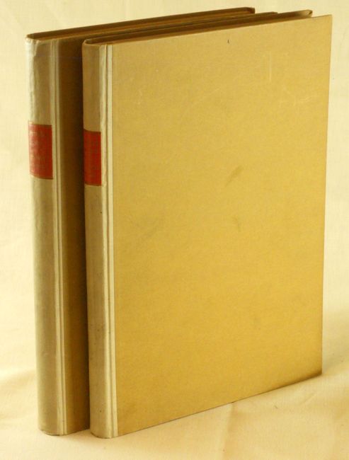
Auction 136, Lot 811
Subject: Reference Books
[2 Volumes] Oud-Nederlandsche Kaartmakers in Betrekking met Plantijn, 1912
Size: 6.3 x 9.3 inches (16 x 23.6 cm)
Estimate: $275 - $350
Sold for: $200
Closed on 6/1/2011
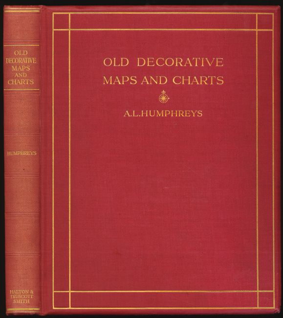
Auction 136, Lot 812
Subject: Reference Books
[Lot of 2] Old Decorative Maps and Charts [and] The Look of Maps An Examination of Cartographic Design, 1926-52
Size: See Description
Estimate: $200 - $250
Unsold
Closed on 6/1/2011
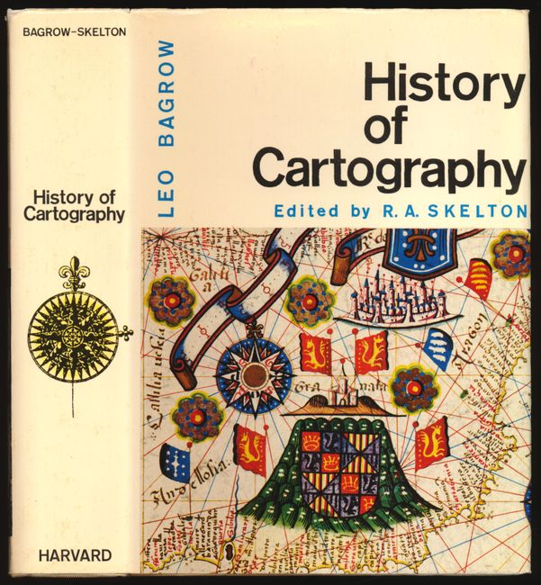
Auction 136, Lot 813
Subject: Reference Books
[Lot of 2] History of Cartography [and] Some Notable Surveyors & Map-Makers of the Sixteenth, Seventeenth, & Eighteenth Centuries and their Work, 1929-64
Size: See Description
Estimate: $150 - $200
Sold for: $110
Closed on 6/1/2011
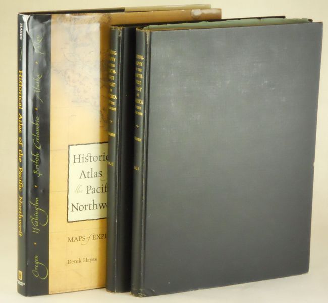
Auction 136, Lot 814
Subject: Reference Books - Pacific Northwest
[Lot of 3 - Cartographic References], 1937-99
Size: See Description
Estimate: $600 - $700
Sold for: $350
Closed on 6/1/2011
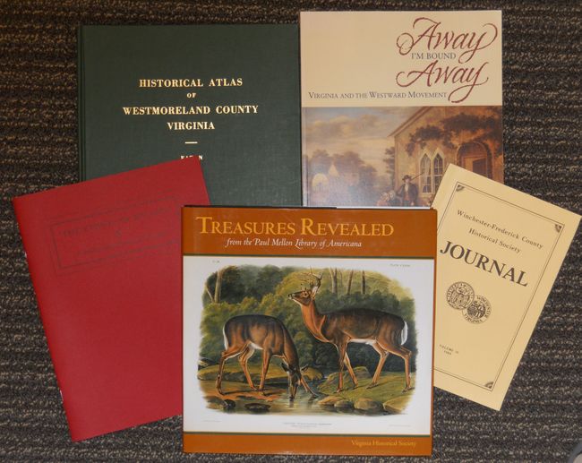
Auction 136, Lot 815
Subject: Reference Books - Virginia
[Lot of 5 - Cartographic References], 1943-2001
Size: See Description
Estimate: $200 - $250
Sold for: $150
Closed on 6/1/2011
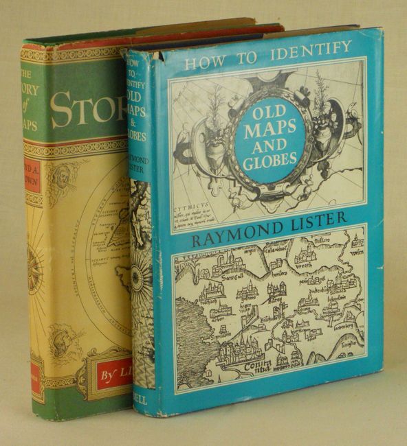
Auction 136, Lot 816
Subject: Reference Books
[Lot of 2 Cartographic References], 1949-65
Size: See Description
Estimate: $120 - $150
Sold for: $170
Closed on 6/1/2011
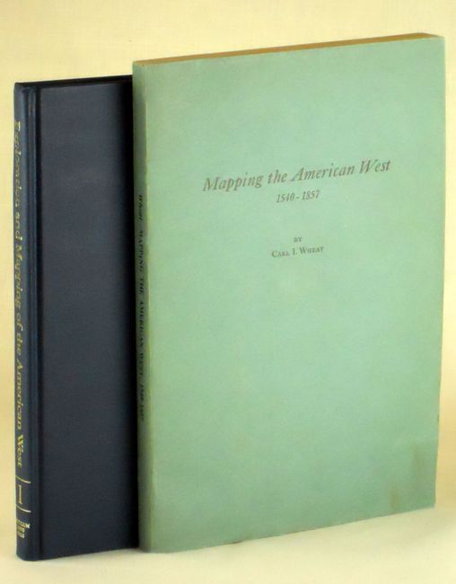
Auction 136, Lot 817
Subject: Reference Books - American West
[Lot of 2 Cartographic References], 1954-1986
Size: See Description
Estimate: $90 - $140
Sold for: $45
Closed on 6/1/2011
Auction 136, Lot 818
Subject: Reference Books
Merian, Matthaus
[Lot of 2] Topographia Hassiae et Regionum Vicinarum [and] Topographia Palatinatus Rheni et Vicinarum Regionum, 1960
Size: 8.5 x 12.5 inches (21.6 x 31.8 cm)
Estimate: $75 - $95
Sold for: $45
Closed on 6/1/2011
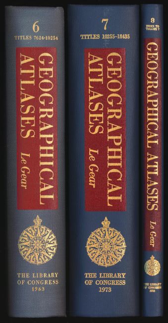
Auction 136, Lot 819
Subject: Reference Books
Le Gear, Clara Egli
[Lot of 3] A List of Geographical Atlases in the Library of Congress [Vols. 6, 7, 8], 1963-74
Size: See Description
Estimate: $300 - $400
Sold for: $200
Closed on 6/1/2011
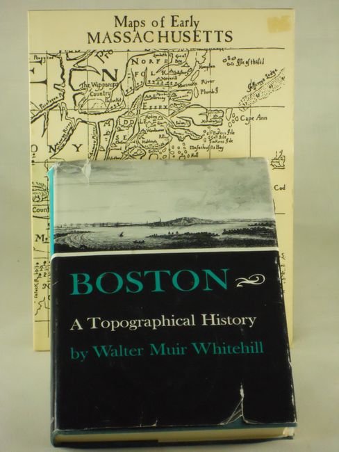
Auction 136, Lot 820
Subject: Reference Books - Boston & Massachusetts
[Lot of 2 Cartographic References], 1963-86
Size: See Description
Estimate: $75 - $100
Sold for: $55
Closed on 6/1/2011
Auction 136, Lot 821
Subject: Reference Books
Sanuto, Livio
Livio Sanuto Geograhia Dell'Africa, 1965
Size: 13 x 19 inches (33 x 48.3 cm)
Estimate: $240 - $300
Unsold
Closed on 6/1/2011
Auction 136, Lot 822
Subject: Reference Books
Burrus, Ernest J.
Kino and the Cartography of Northwestern New Spain, 1965
Size: 10.3 x 14.2 inches (26.2 x 36.1 cm)
Estimate: $200 - $300
Sold for: $130
Closed on 6/1/2011
Auction 136, Lot 823
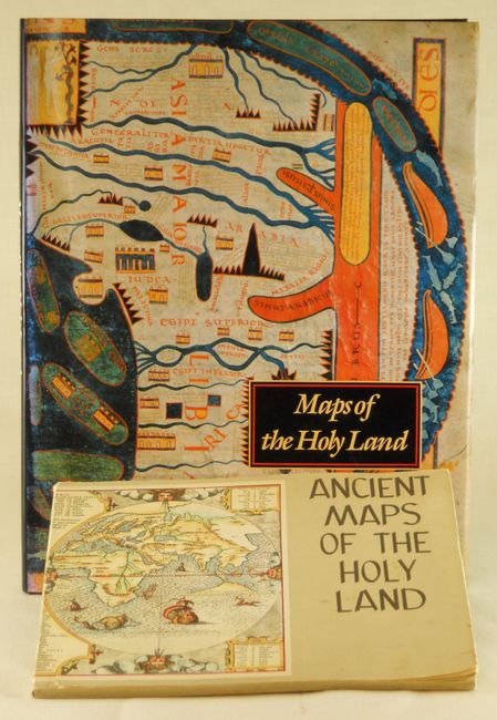
Subject: Reference Books - Holy Land
[Lot of 2 Cartographic References] Maps of the Holy Land… [and] The Holy Land in Ancient Maps with Reproductions…, 1965-86
Size: See Description
Estimate: $150 - $200
Sold for: $100
Closed on 6/1/2011
Auction 136, Lot 824
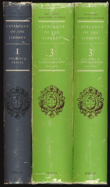
Subject: Reference Books
[Lot of 3] National Maritime Museum Catalogue of the Library Volume One Voyage & Travels [and] Volume Three - Atlases & Cartography Part One [and] Volume Three - Part Two, 1968-1971
Size: 7.6 x 9.8 inches (19.3 x 24.9 cm)
Estimate: $180 - $220
Sold for: $100
Closed on 6/1/2011
Auction 136, Lot 825
Subject: Reference Books
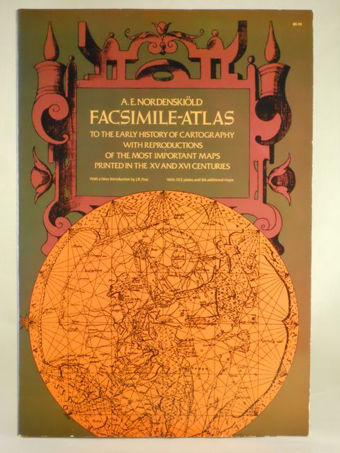
Nordenskiold, Nils Adolf E.
Facsimile-Atlas to the Early History of Cartography with Reproductions of the Most Important Maps Printed in the XV and XVI Centuries, 1973
Size: 11 x 16 inches (27.9 x 40.6 cm)
Estimate: $100 - $160
Sold for: $55
Closed on 6/1/2011
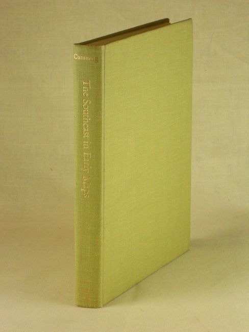
Auction 136, Lot 826
Subject: Reference Books - Southeast
Cumming, William P.
The Southeast in Early Maps with an Annotated Check List of Printed and Manuscript Regional and Local Maps of Southeastern North America during the Colonial Period, 1973
Size: 9 x 11.3 inches (22.9 x 28.7 cm)
Estimate: $150 - $200
Sold for: $110
Closed on 6/1/2011
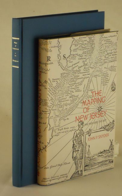
Auction 136, Lot 827
Subject: Reference Books - New Jersey and Connecticut
[Lot of 2 Cartographic References], 1973-95
Size: See Description
Estimate: $160 - $200
Sold for: $65
Closed on 6/1/2011
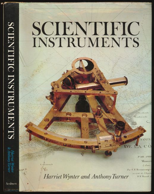
Auction 136, Lot 828
Subject: Reference Books
[Lot of 2] Scientific Instruments [and] The History of Topographical Maps, Symbols, Pictures and Surveys, 1975-80
Size: See Description
Estimate: $120 - $150
Sold for: $150
Closed on 6/1/2011

Auction 136, Lot 829
Subject: Reference Books
America in Maps; Dating from 1500 to 1856, 1976
Size: 14.5 x 21 inches (36.8 x 53.3 cm)
Estimate: $220 - $250
Sold for: $230
Closed on 6/1/2011
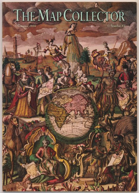
Auction 136, Lot 830
Subject: Reference Books
Tooley, R. V.
[Lot of 74] The Map Collector Magazine, 1977-1996
Size: 8.3 x 11.8 inches (21.1 x 30 cm)
Estimate: $700 - $900
Sold for: $350
Closed on 6/1/2011
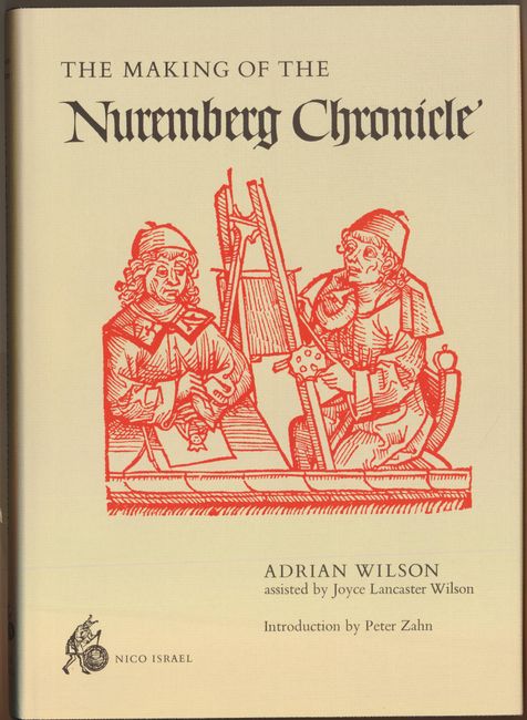
Auction 136, Lot 831
Subject: Reference Books, Incunabula
Wilson, Adrian
The Making of the Nuremberg Chronicle, 1978
Size: 10 x 13.8 inches (25.4 x 35.1 cm)
Estimate: $160 - $240
Sold for: $120
Closed on 6/1/2011
Auction 136, Lot 832
Subject: Reference Books
[Lot of 2 Cartographic References], 1978-91
Size: See Description
Estimate: $70 - $100
Sold for: $110
Closed on 6/1/2011
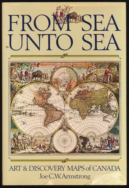
Auction 136, Lot 833
Subject: Reference Books - Canada
[Lot of 2] The Northpart of America [and] From Sea Unto Sea - Art & Discovery Maps of Canada, 1979-1982
Size: 16.3 x 14 inches (41.4 x 35.6 cm)
Estimate: $275 - $350
Sold for: $180
Closed on 6/1/2011
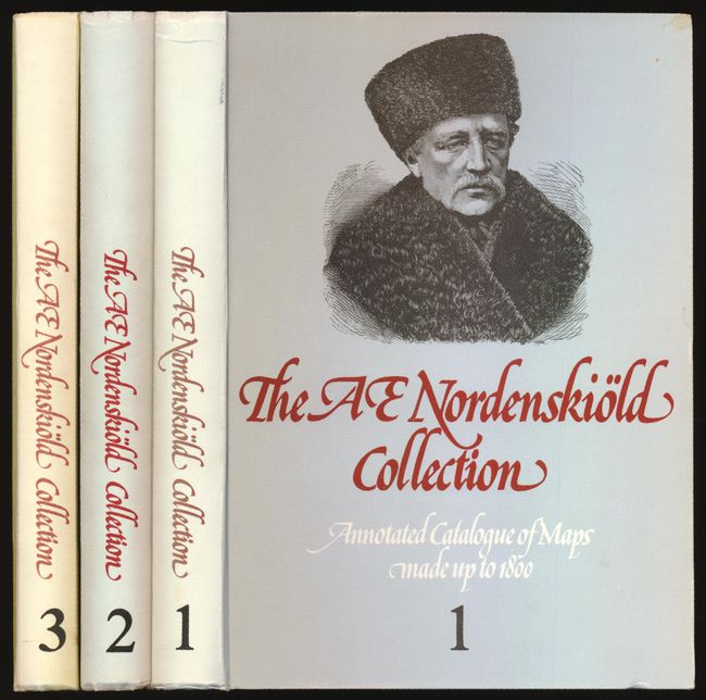
Auction 136, Lot 834
Subject: Reference Books
[3 volumes] The A.E. Nordenskiold Collection in the Helsinki University Library - Annotated Catalogue of Maps Made up to 1800, 1979-1984
Size: 9 x 12 inches (22.9 x 30.5 cm)
Estimate: $300 - $375
Sold for: $220
Closed on 6/1/2011
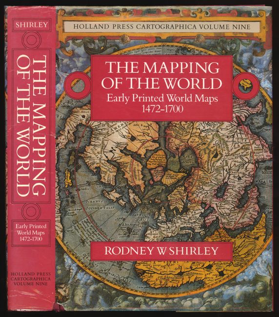
Auction 136, Lot 835
Subject: Reference Books
Shirley, Rodney W.
The Mapping of the World - Early Printed World Maps 1472-1700, 1984
Size: 10 x 14 inches (25.4 x 35.6 cm)
Estimate: $475 - $600
Sold for: $650
Closed on 6/1/2011
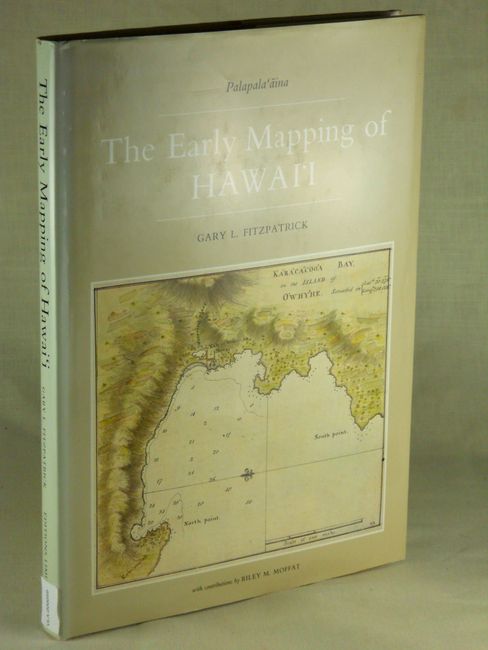
Auction 136, Lot 836
Subject: Reference Books, Hawaii
The Early Mapping of Hawai'i, 1986
Size: 10.5 x 14.5 inches (26.7 x 36.8 cm)
Estimate: $95 - $150
Sold for: $0
Closed on 6/1/2011
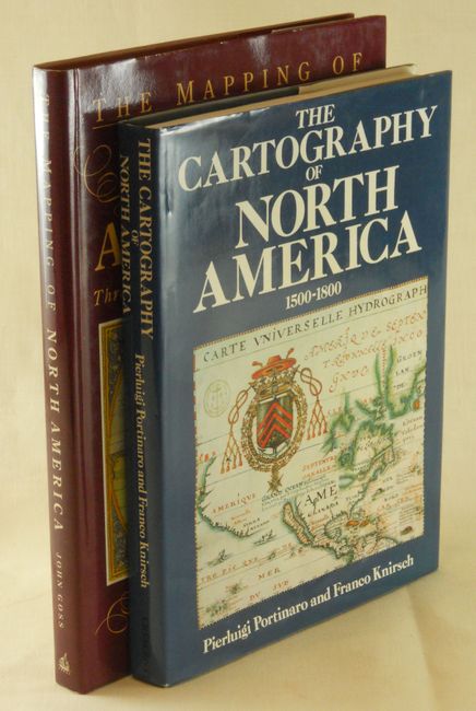
Auction 136, Lot 837
Subject: Reference Books
[Lot of 2] The Cartography of North America 1500-1800 [and] The Mapping of North America. Three centuries of map-making 1500-1800, 1987-1990
Size: 10 x 13 inches (25.4 x 33 cm)
Estimate: $100 - $150
Sold for: $50
Closed on 6/1/2011
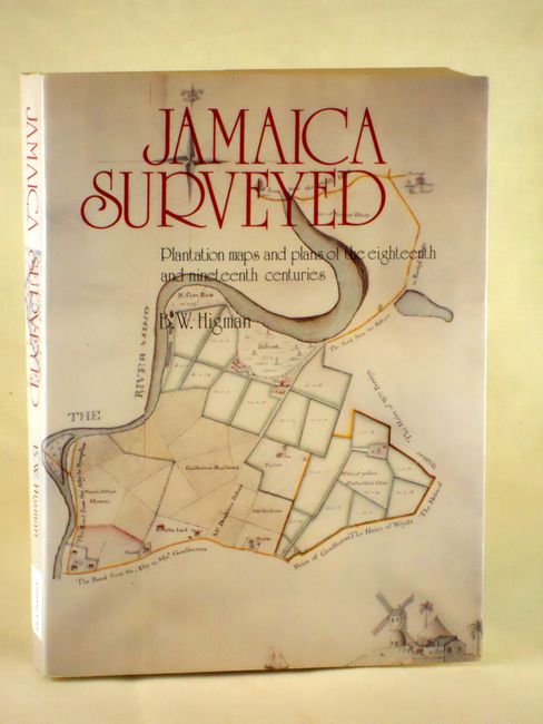
Auction 136, Lot 838
Subject: Reference Books - Jamaica
Jamaica Surveyed - Plantation maps and plans of the eighteenth and nineteenth centurie, 1988
Size: 8.5 x 11 inches (21.6 x 27.9 cm)
Estimate: $80 - $120
Sold for: $60
Closed on 6/1/2011
57 lots
Page 1 of 2