Subject: Atlases
Period: 1864 (dated)
Publication:
Color: Hand Color
Size:
13 x 16 inches
33 x 40.6 cm
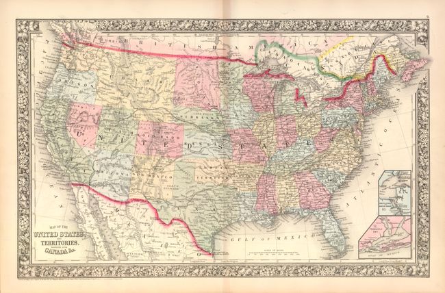
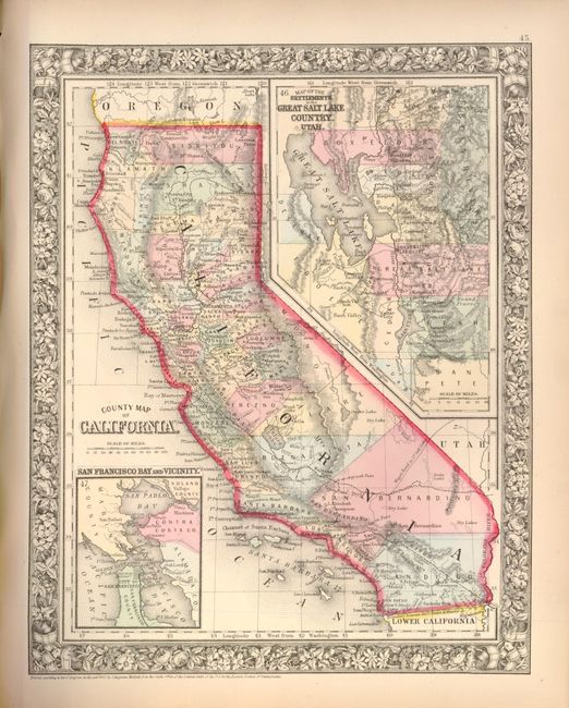
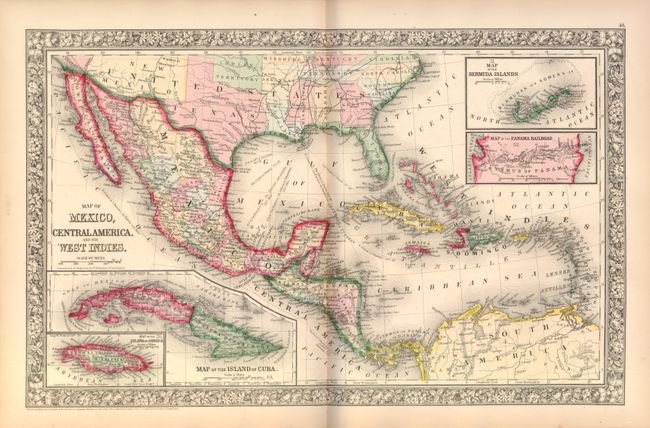
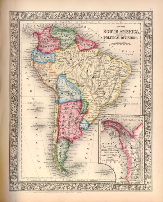
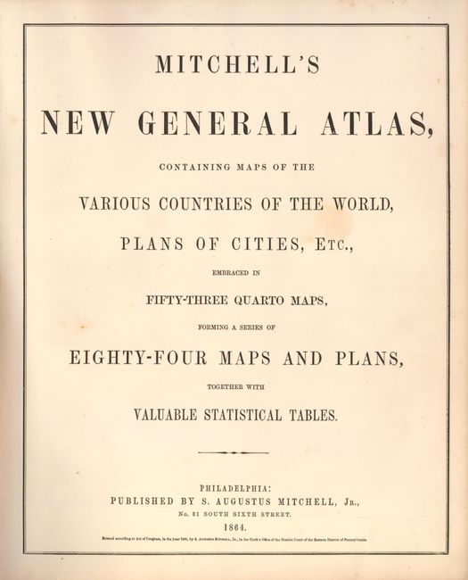
This is a nice example of Mitchell's world atlas produced during the final full year of the Civil War. It is complete with 84 maps and plans on 53 sheets, each surrounded by Mitchell's signature floral border. There are 28 map sheets related to the United States including 38 individual states and territories, regions and city plans. There are two world maps - one hemispheric and the other drawn on Mercator's Projection.
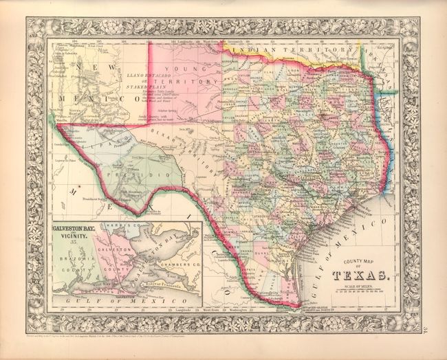
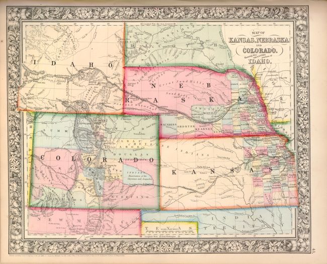
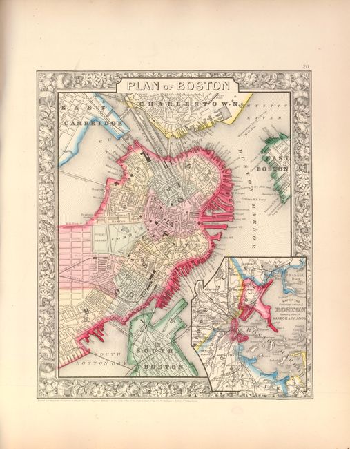
The map of Texas shows county development to 100° longitude with the large regions of El Paso, Presidio and the Bexar Territory further west. The Staked Plain is now called Young Territory. The Map of Kansas, Nebraska and Colorado Showing also the Eastern portion of Idaho locates the Gold Region surrounding Denver City. The map of the Northwest shows Idaho Territory in its large, square configuration that includes today's Montana and Wyoming. The Pony Express route is delineated on the map of the United States as are numerous routes of exploration, important trails including the Santa Fe, numerous wagon roads, the Overland Mail Route to California, and early railroads. This early 1864 edition did not include the separate map of Arizona and New Mexico, however on the U.S. map the southern tip of Nevada is contained as part of the Territory of Arizona, and Utah encroaches a full degree of into Nevada. Includes full-page plans of the cities of Boston, New York, Philadelphia, Baltimore, Washington, New Orleans and Cincinnati. All maps carry the 1860 copyright date.
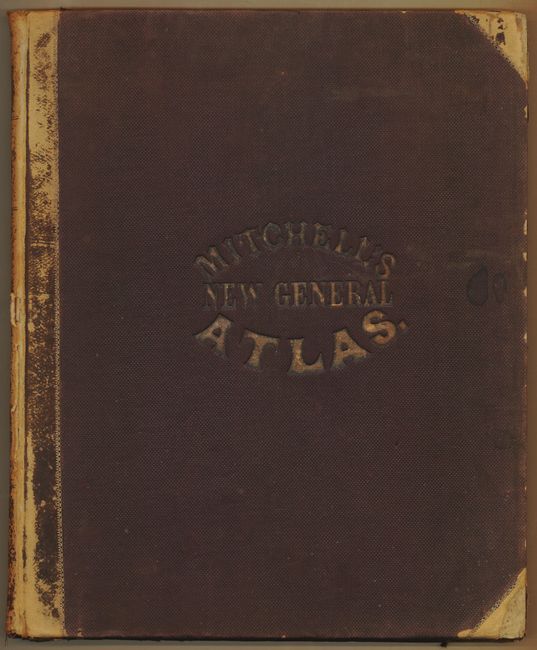
Hardbound small folio, publisher's half calf with cloth covered boards, stamped title on front cover. Title page, List of Maps, maps and plans are followed by 23 pages of text: List of Post Offices in the United States, Population of the United States by the Census of 1850 and 1860, List of Post Offices in Canada, Table of Population, Governments. &C., Mountains of the World, and Rivers of the World. All pages including endpapers are present and maps are correctly collated. A nice example of this historical and desirable atlas.
References:
Condition: B+
Collation is correct but map #83 incorrectly labeled 38, as usual. All of the maps are very good to fine with lovely hand coloring and crisp impressions. Covers are shelf-worn with tips and spine heavily abraded, but sound with tight contents. Book plate on front pastedown with previous owner's name in pencil on front end paper.