Subject: Atlases
Period: 1840-1879 (circa)
Publication:
Color: Hand Color
Size:
10.5 x 16 inches
26.7 x 40.6 cm
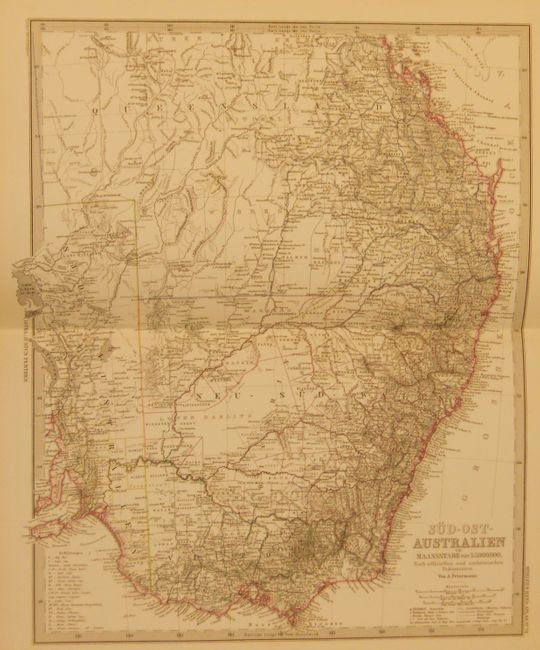
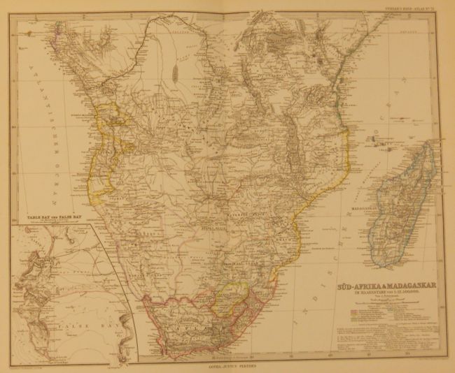
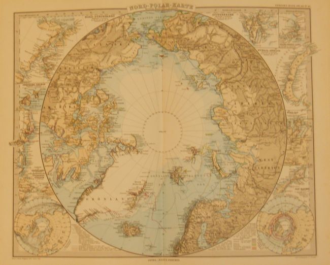
1. Hand Atlas uber Alle Theile der Erde und uber das Weltgedaude, circa 1879, 10" x 16". This atlas is complete and contains 95 beautifully engraved double-page steel plate maps. This atlas was produced in the transitional period leading to full printed colored maps; here we see a combination of hand coloring and printed color on the maps. Each is a study in precision engraving, with exceptional detail. Of the maps, four are celestial (including a fine view of the moon), four are thematic, and the rest cover the continents, major countries and the polar regions. Most of the maps include insets of principal cities and topographical features. A beautifully engraved, two-sheet title page graces the front. Hardbound in original half calf over brown pebble cloth boards, marbled end papers, title page, text, 94 maps and charts. Published from Gotha by Justus Perthes. Condition: The binding shows shelf wear at tips and edges of spine, with the covers starting at front. The front cover has a crushed section at middle along outside edge. The maps are all very good or fine with lovely impression and color. The map of the East Indies is loose.
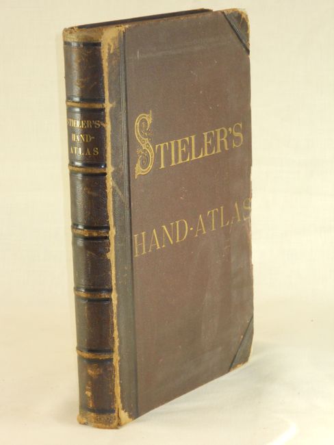
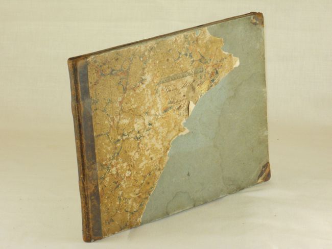
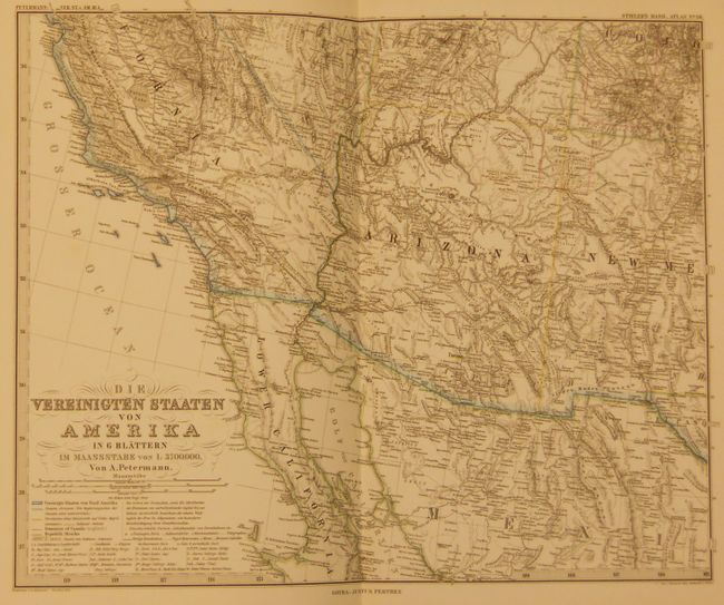
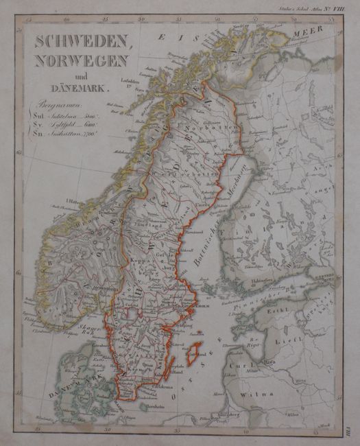
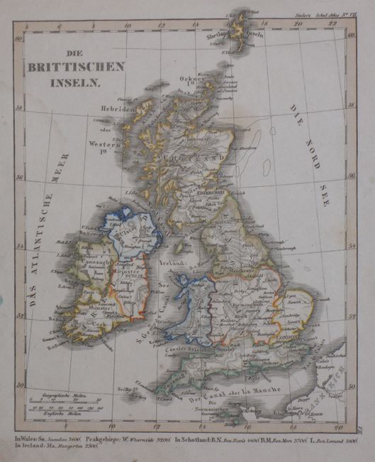
2. Stieler's Schul-Atlas, circa 1840, 12" x 9". The maps of North America and United States show the Independent Republic of Texas. On the map of the United States the northwest is labeled Oregon District and extends far into Canada, here called Hudsonia. The mid-west above Texas is divided into three huge districts, namely Mandan, Osage and Ozark. Wisconsin and part of Minnesota is labeled Huron District. The atlas contains 26 maps and no title page. Condition: The maps are generally B+ to B with some staining and marginal soiling. The map of Europe is loose and trimmed. Half calf over marbled paper covered boards. Covers are attached but the marbled paper is perished. Should be considered a collection of maps.
References:
Condition:
See individual descriptions.