Subject: Atlases
Period: 1870 (circa)
Publication:
Color: Hand Color
Size:
5.5 x 8 inches
14 x 20.3 cm
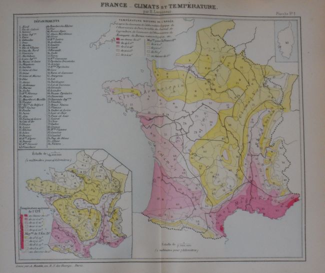
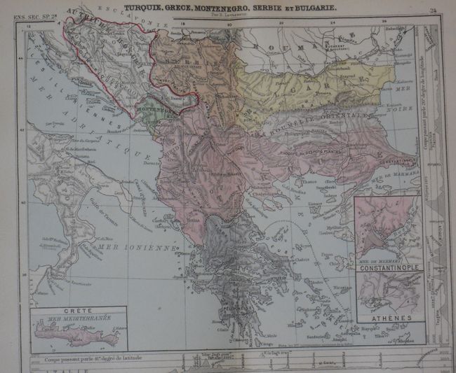
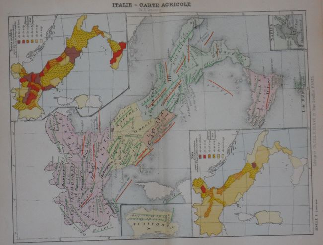
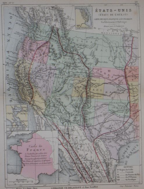
Very nice and complete example of this uncommon world atlas. The 144 double-page maps cover the world's geography as well as thematic maps on the economic, political, geological, climatic, hydrographic, etc. for each region. The last several maps provide expanded information on France. The western United States map names all western states and territories and shows the newly completed Transcontinental Railroad. Dakota is still one territory and Yellowstone park has not yet formed. Each map is colorful and filled with a large amount of information including insets and extensive legends. Original red cloth boards with gilt title and embossing. Published by the bookseller Ch. Delagrave, 15 Rue Soufflot, Paris.
References:
Condition: B+
Cover has a little staining and the spine is sunned. Contents are very good to fine with no tears or splits found.