Subject: Atlases
Period: 1842 (published)
Publication:
Color: Hand Color
Size:
14.4 x 18.8 inches
36.6 x 47.8 cm
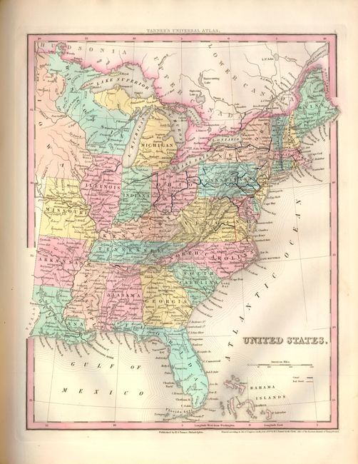
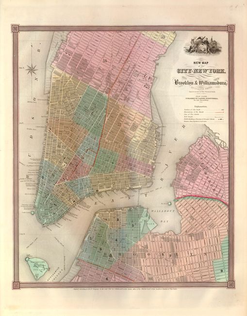
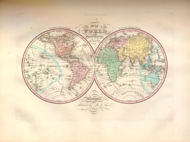
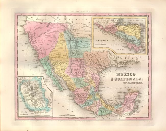
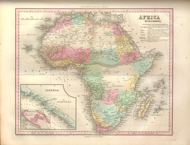
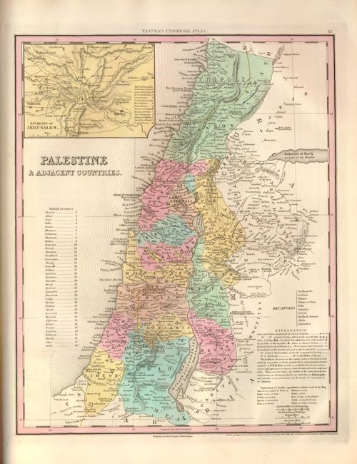
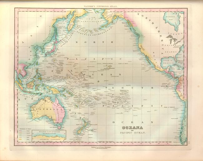
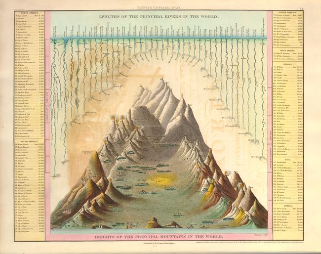
This rare atlas includes 116 maps on 68 (of 69) sheets including the thematic Heights of the Principle Mountains in the World as the frontis. The second thematic plate is not present and judging from the undisturbed binding was probably omitted by the binder. This world atlas begins with the "Map of the World on the Globular Projection," followed with more than 30 maps of North American interest including city plans of New York, Philadelphia and Washington, and numerous maps of South America, Europe, Asia, Africa, and Oceania.
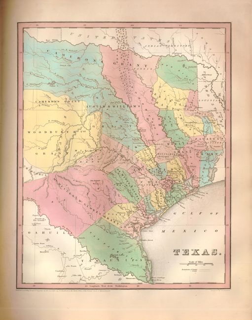
The map of Texas is unnumbered and listed in the contents after Mexico as page 30-1/2 . This is Bradford's map of the Independent Republic of Texas that was patterned on Stephen Austin's seminal map. The map shows the empresario grants, lakes, rivers, creeks, towns and Indian villages. The Old Mexican Garrison is located on the Brazos River north of Deer Creek. This map correctly shows the border with Mexico on the Rio Grande rather than the Rio de las Nueces as depicted in earlier plates. The boundary with the United States is along the Red River. The map locates and names San Antonio de Bexar, Austin, Sabine, St. Augustine, Nacogdoches, Victoria, Goliad (formerly Bahia), Texana, Waco Village, Tenoxititlan, and more. Houston is not named on this edition. There are nearly 30 grants and regions named, including Stephen F. Austin, Woodbury & Cos, Cameron's, (two separate parts), Zavalla's and Whelin's. Engraved by G.W. Boynton, copyright date 1838.
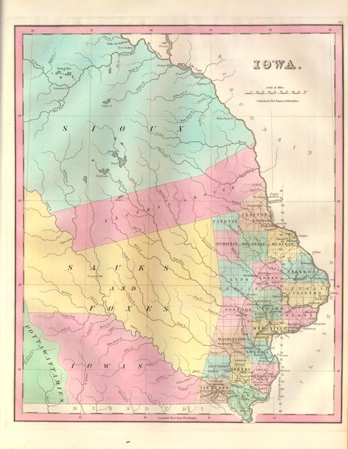
The map of Iowa Territory is not listed in the contents, but is placed between Illinois and Missouri and numbered 27-1/2. This is a great map depicts only 20 counties clustered along the Mississippi River in the southeast. There are a number of early settlements (many of which do not exist today) and roads depicted in this region. The lion's share of the territory is divided among Indian nations; the Sioux in the north, and the Sauks and Foxes, Iowas and Pottawattamies in the south - separated by a large swath through the middle labeled Neutral Ground. The northern boundary extends beyond the Falls of Anthony and Fort Snelling, and no western boundary is shown.
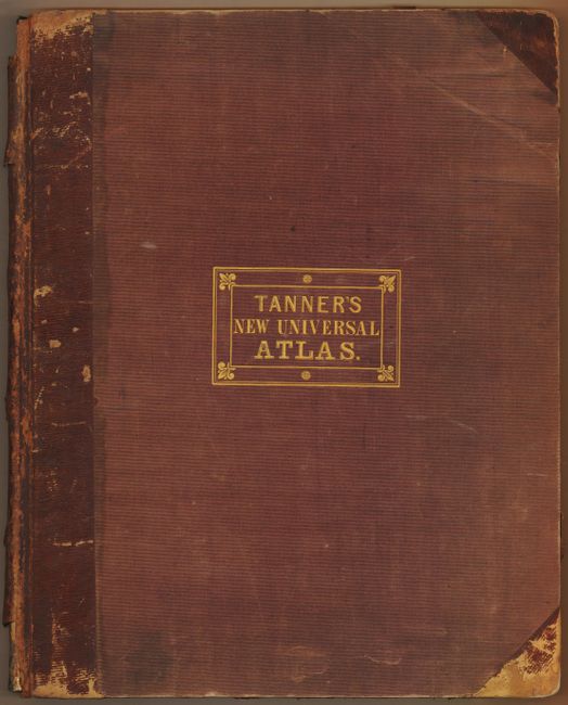
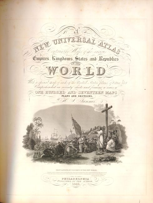
This 1842 edition is probably the last issued by Tanner as he sold the publishing rights to the atlas to Carey and Hart sometime in 1842. Folio, frontis, title page, Author's Note, Table of Contents, maps and plans, Index. Title page has engraved "First Landing of Columbus in the New World" with his three ships in the background. Hardbound in original half leather over cloth covered boards, front cover with stamped gilt title.
References:
Condition:
The maps are exquisite with strong original color and dark, early impressions on clean paper, generally fine. The thematic map has offsetting from the title page. Cover edge and tips are worn and the spine highly worn with a piece at top missing. The back cover detached and free end papers are soiled. A simple binding restoration will make this a near perfect example of this rare atlas.