Subject: Atlases
Period: 1787 (dated)
Publication:
Color: Black & White
Size:
10 x 12 inches
25.4 x 30.5 cm
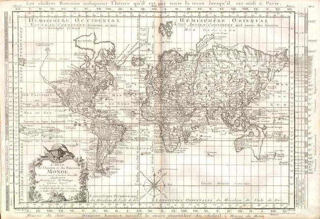
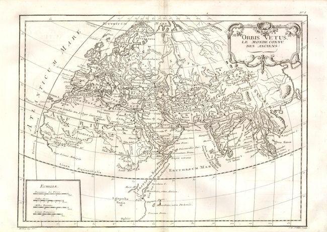
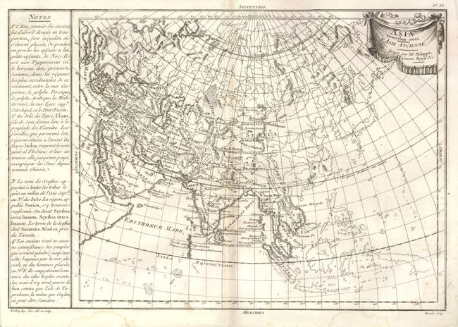
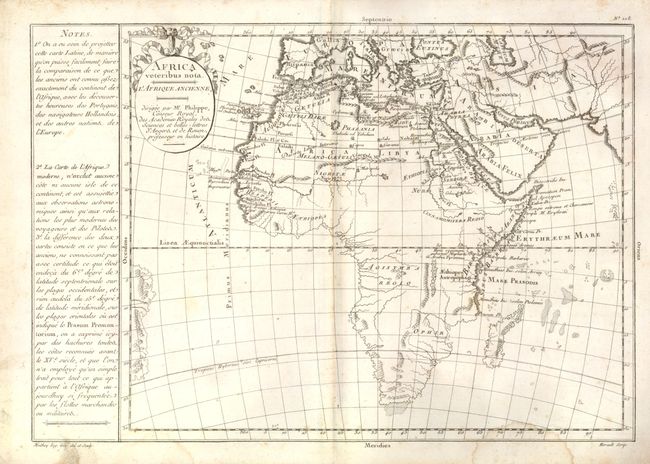
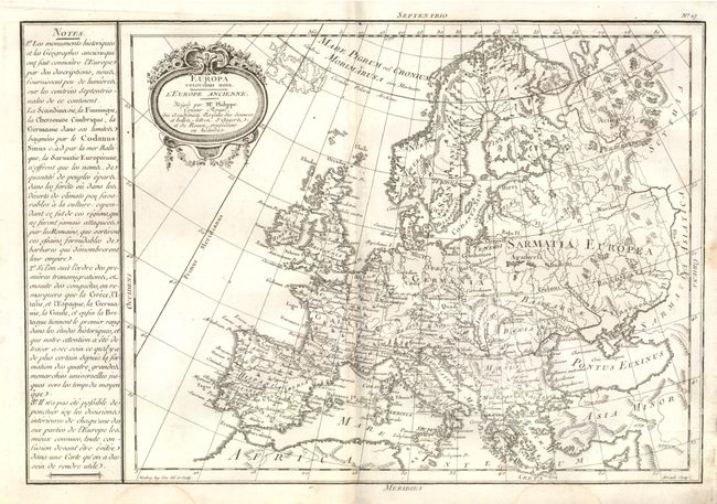
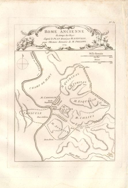
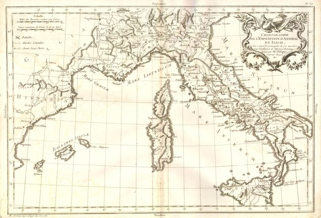
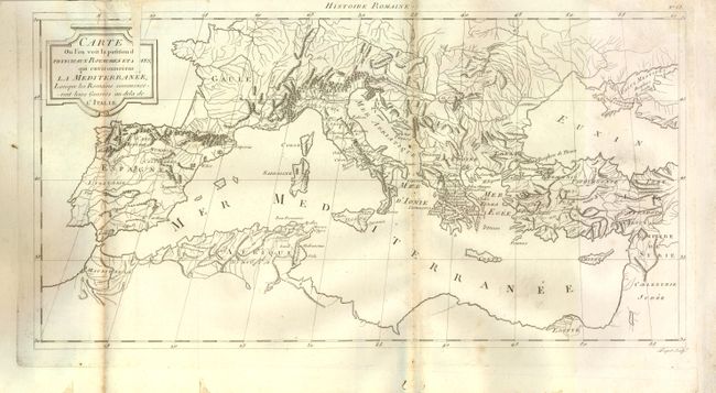
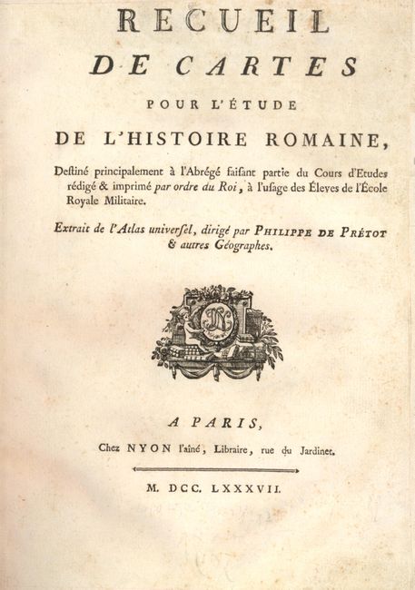
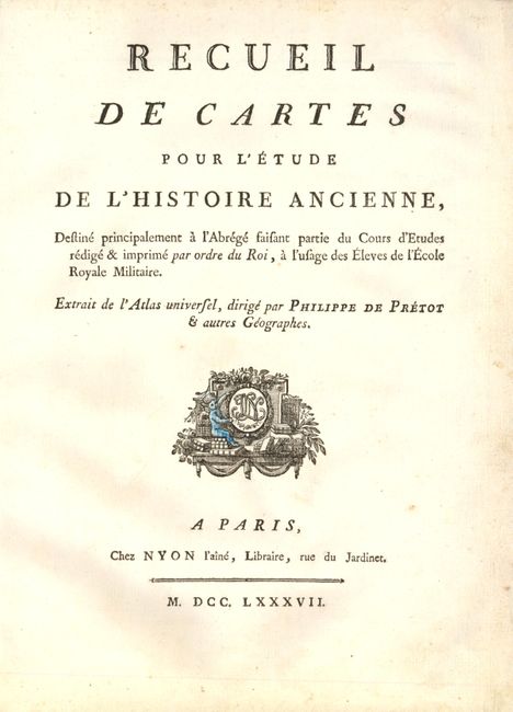
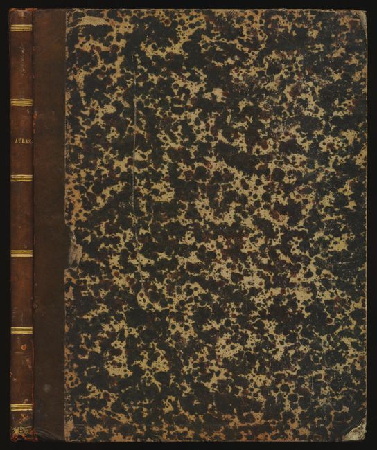
Two historical atlases bound together. The first part includes 13 maps of the Roman Empire. The second part includes 9 (of 10) maps of the world known in ancient times - missing the map of Graecia Antiqua. Most maps are finely engraved and embellished with decorative title cartouches. The map of the world, Carte de l'Ancien et du Nouveau Monde Suivant une projection nouvelle, shows North America with a bulging coastline above Cap Blanc and a large River of the West connecting Lake Winnipeg with the Pacific. Australia is shown in a rudimentary form with the mainland connected to both Tasmania and New Guinea. Maps not bound in the order called for on the lists of maps, no text. Original quarter-leather binding with marbled-paper covered boards.
References:
Condition: B+
The majority of the maps are very good to fine with some faint damp stains in the margins. A few are bound up-side-down. <I>Carte ou l'on voit la position des principaux royaumes…</I> has paper loss in the cartouche; <I>Theatre de la Campagne en Afrique</I> with partial color; <I>Africa veteribus nota</I> has damp stains entering the border at bottom. Binding good with bumped corners and spine starting to crack.