Showing Featured Lots(remove filter)
Filtered by Category:United States(Show All Categories)
Catalog Archive
2281 lots
Page 1 of 46
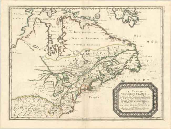
Auction 206, Lot 108
Subject: Colonial Eastern United States & Canada
Sanson/Mariette
Le Canada, ou Nouvelle France, &c. ce qui est le Plus Advance Vers le Septentrion est Tire de Diverses Relations des Anglois, Danois, &c..., 1656
Size: 21.4 x 15.9 inches (54.4 x 40.4 cm)
Estimate: $4,000 - $4,750
Keystone Map for Great Lakes Collections
Unsold
Closed on 11/12/2025
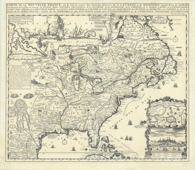
Auction 206, Lot 109
Subject: Colonial Eastern United States & Canada
Chatelain, Henry Abraham
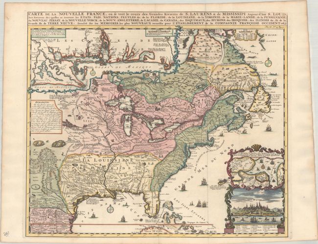
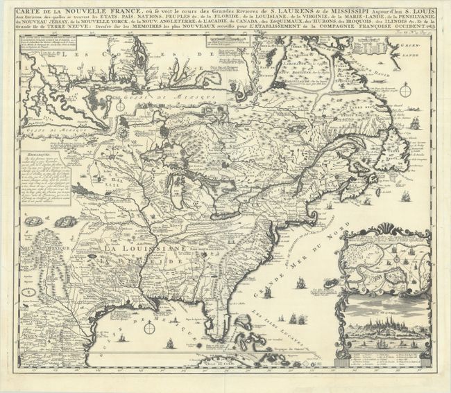
Carte de la Nouvelle France, ou se Voit le Cours des Grandes Rivieres de S. Laurens & de Mississipi Aujour d'hui S. Louis, aux Environs des-quelles se Trouvent les Etats, Pais, Nations, Peuples, &c. de la Floride, de la Louisiane, de la Virginie..., 1719
Size: 19.3 x 16.7 inches (49 x 42.4 cm)
Estimate: $2,000 - $2,300
One of the Most Informative 18th Century Maps of the French Possessions in North America
Unsold
Closed on 11/12/2025
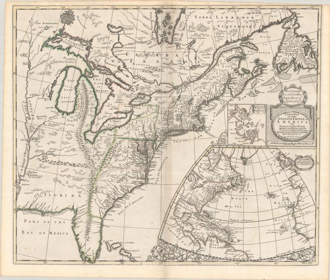
Auction 206, Lot 110
Subject: Colonial Eastern United States & Canada
Senex, John
A New Map of the English Empire in America viz Virginia Maryland Carolina Pennsylvania New York New Iarsey New England Newfoundland New France &c., 1719
Size: 22.9 x 19.6 inches (58.2 x 49.8 cm)
Estimate: $2,400 - $3,000
Senex's Important Map of the American Colonies
Unsold
Closed on 11/12/2025
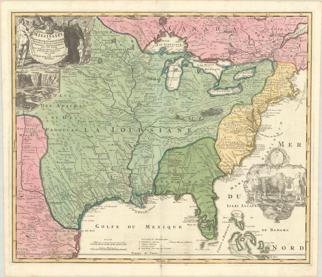
Auction 206, Lot 111
Subject: Colonial Eastern United States & Canada
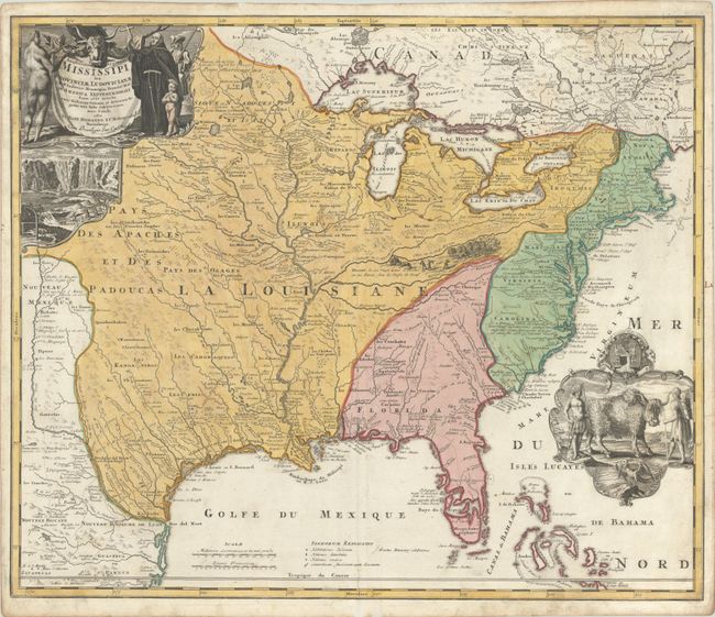
Homann, Johann Baptist
Amplissimae Regionis Mississipi seu Provinciae Ludovicianae a R.P. Ludovico Hennepin Francisc Miss. in America Septentrionali Anno 1687..., 1720
Size: 22.8 x 19.2 inches (57.9 x 48.8 cm)
Estimate: $2,200 - $2,500
Striking Map of Colonial America with Bison Vignette
Sold for: $2,500
Closed on 11/12/2025
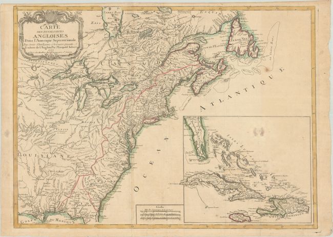
Auction 206, Lot 115
Subject: Colonial Eastern United States & Canada
Imbert, J. Leopold
Carte des Possessions Angloises dans l'Amerique Septentrionale pour Servir d'Intelligence a la Guerre Presente Traduite de l'Anglois, 1777
Size: 29 x 21.3 inches (73.7 x 54.1 cm)
Estimate: $1,800 - $2,200
First Edition of Important Revolutionary War Map
Unsold
Closed on 11/12/2025
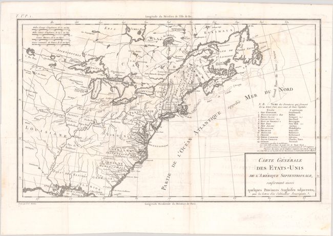
Auction 206, Lot 116
Subject: Eastern United States & Canada, Franklin
Crevecoeur, Michel Guillaume De
Carte Generale des Etats-Unis de l'Amerique Septentrionale, Renfermant Aussi Quelques Provinces Angloises Adjacentes, pour les Lettres d'un Cultivateur Ameriquain, 1787
Size: 16.9 x 10.3 inches (42.9 x 26.2 cm)
Estimate: $750 - $900
One of the Earliest Maps to Name Franklinia
Sold for: $475
Closed on 11/12/2025
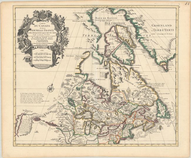
Auction 206, Lot 121
Subject: Colonial Northeastern United States & Canada
Delisle/Covens & Mortier
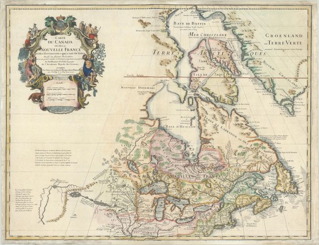
Carte du Canada ou de la Nouvelle France et des Decouvertes qui y ont ete Faites Dressee sur Plusieurs Observations et sur un Grand Nombre de Relations Imprimees ou Manuscrites, 1730
Size: 22.4 x 19.3 inches (56.9 x 49 cm)
Estimate: $1,200 - $1,500
One of the Most Influential Maps of Canada, Great Lakes & Upper Midwest
Sold for: $600
Closed on 11/12/2025
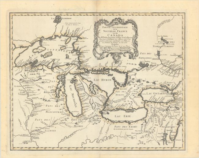
Auction 206, Lot 126
Subject: Colonial Great Lakes
Bellin/Homann Heirs
Partie Occidentale de la Nouvelle France ou du Canada, 1755
Size: 21.3 x 16.8 inches (54.1 x 42.7 cm)
Estimate: $1,500 - $1,800
Influential Map of the Great Lakes
Sold for: $1,000
Closed on 11/12/2025
Auction 206, Lot 144
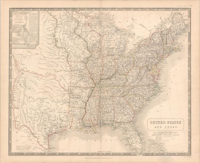
Subject: Eastern United States, Texas
Johnston, W. & A.K.
United States and Texas, 1842
Size: 24.3 x 19.8 inches (61.7 x 50.3 cm)
Estimate: $1,200 - $1,500
Scottish Atlas Map Featuring the Independent Republic of Texas
Sold for: $950
Closed on 11/12/2025
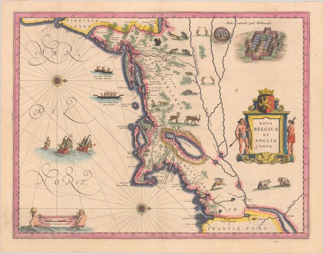
Auction 206, Lot 147
Subject: Colonial New England & Mid-Atlantic United States
Blaeu, (Family)
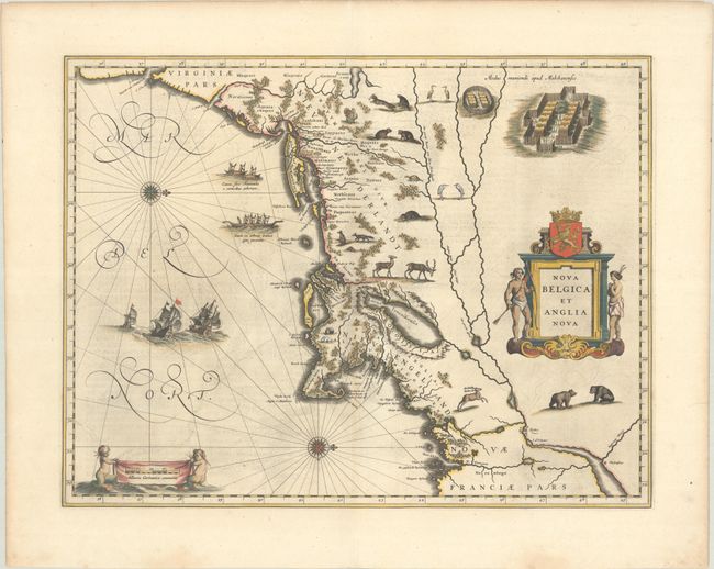
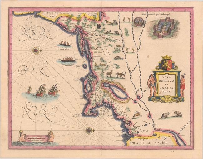
Nova Belgica et Anglia Nova, 1638
Size: 19.9 x 15.3 inches (50.5 x 38.9 cm)
Estimate: $1,500 - $1,800
Important Map of Colonial New England and the Mid-Atlantic
Unsold
Closed on 11/12/2025
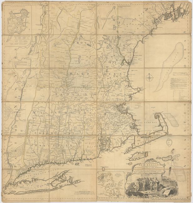
Auction 206, Lot 151
Subject: Colonial New England United States
Jefferys, Thomas
A Map of the Most Inhabited Part of New England, Containing the Provinces of Massachusets Bay and New Hampshire, with the Colonies of Conecticut and Rhode Island, Divided into Counties and Townships..., 1774
Size: 39.3 x 41.4 inches (99.8 x 105.2 cm)
Estimate: $3,000 - $3,750
Jefferys' Influential Map of New England in Contemporary Outline Color
Sold for: $2,000
Closed on 11/12/2025
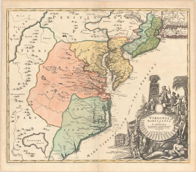
Auction 206, Lot 156
Subject: Colonial Mid-Atlantic United States
Homann, Johann Baptist
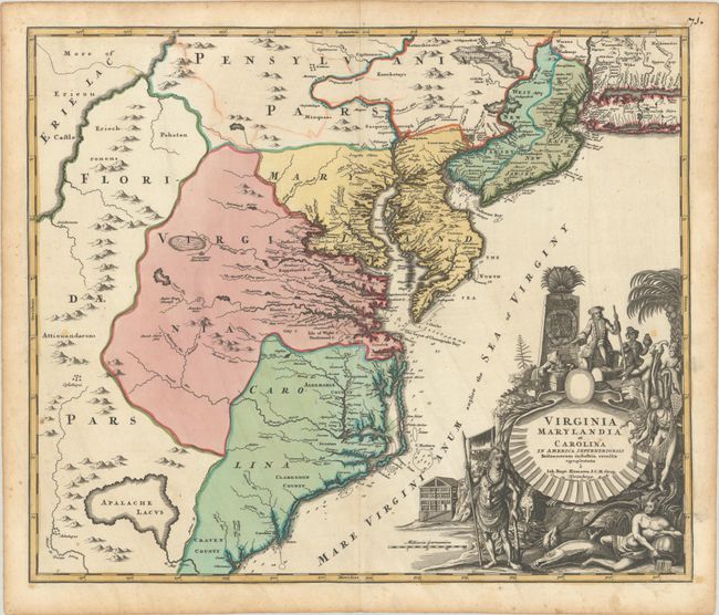
Virginia Marylandia et Carolina in America Septentrionali Britannorum Industria Excultae, 1720
Size: 23 x 19.4 inches (58.4 x 49.3 cm)
Estimate: $1,500 - $1,800
Map Created to Promote German Immigration to the New World
Sold for: $1,000
Closed on 11/12/2025
Auction 206, Lot 160
Subject: Colonial Southeastern United States
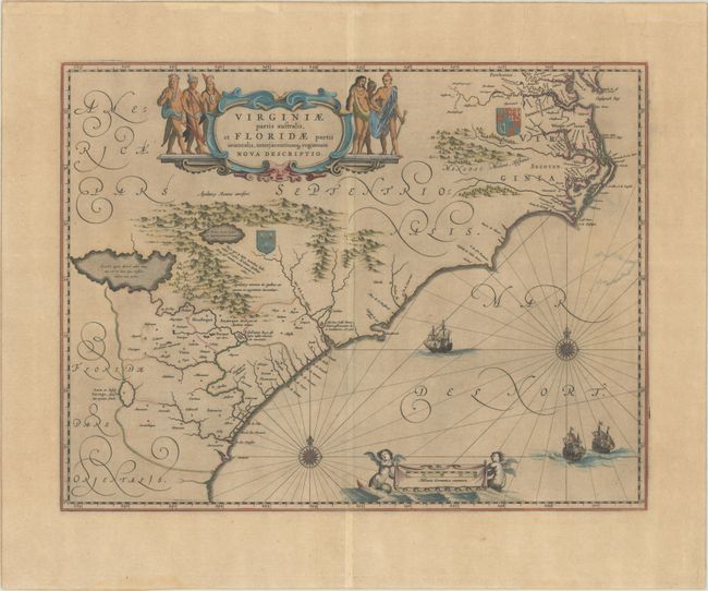
Blaeu, Willem
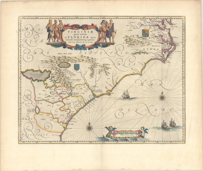
Virginiae Partis Australis, et Floridae Partis Orientalis, Interjacentiumq Regionum Nova Descriptio, 1642
Size: 20 x 15.3 inches (50.8 x 38.9 cm)
Estimate: $1,000 - $1,300
Blaeu's Decorative Map of the Southeast
Sold for: $750
Closed on 11/12/2025
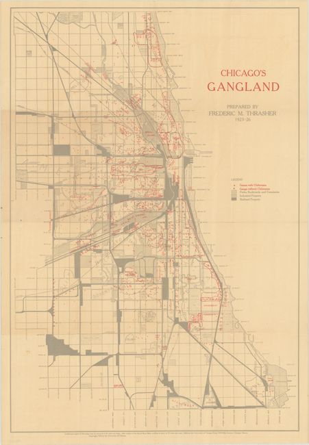
Auction 206, Lot 232
Subject: Chicago, Illinois
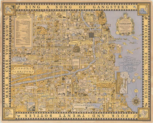
[Map with Book] Chicago's Gangland [with] The Gang: A Study of 1,313 Gangs in Chicago, 1926
Size: 17.6 x 25.8 inches (44.7 x 65.5 cm)
Estimate: $1,400 - $1,700
Mapping Organized Crime in 1920s Chicago
Sold for: $1,000
Closed on 11/12/2025
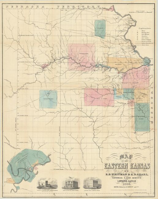
Auction 206, Lot 236
Subject: Eastern Kansas
Jewett & Co., J. P.
Map of Eastern Kansas, 1856
Size: 21.1 x 26.8 inches (53.6 x 68.1 cm)
Estimate: $1,400 - $1,700
Early Map of "Bleeding Kansas"
Unsold
Closed on 11/12/2025
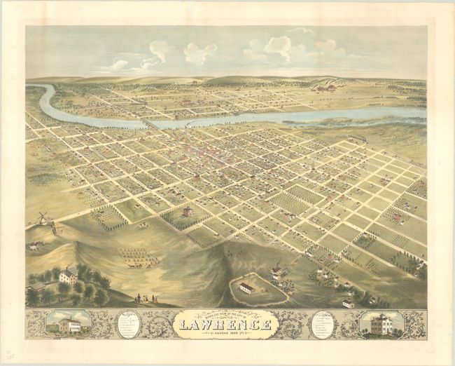
Auction 206, Lot 237
Subject: Lawrence, Kansas
Bird's Eye View of the City of Lawrence Kansas 1869, 1880
Size: 26.6 x 20.8 inches (67.6 x 52.8 cm)
Estimate: $2,000 - $2,500
Rare and Striking Bird's-Eye View of Lawrence
Sold for: $1,000
Closed on 11/12/2025
Auction 206, Lot 270
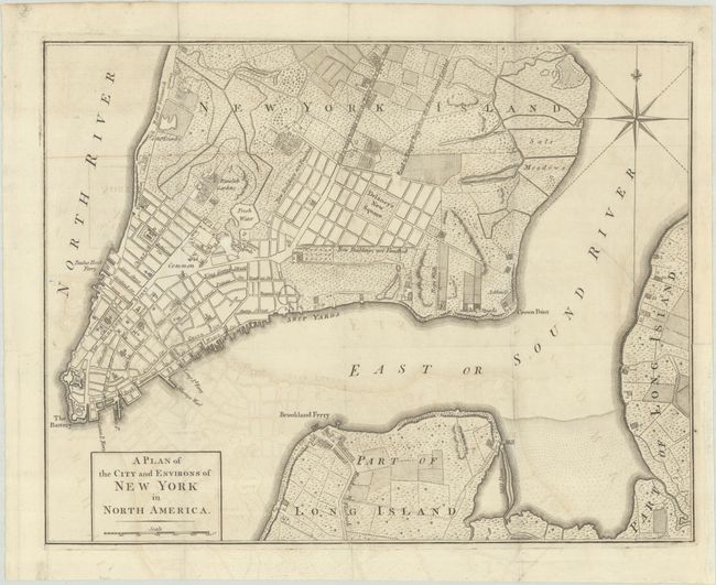
Subject: New York City, New York, Revolutionary War
Anon.
A Plan of the City and Environs of New York in North America, 1776
Size: 14.6 x 11.3 inches (37.1 x 28.7 cm)
Estimate: $1,800 - $2,200
Revolutionary War-Era Plan of New York City
Sold for: $1,300
Closed on 11/12/2025
Auction 206, Lot 276
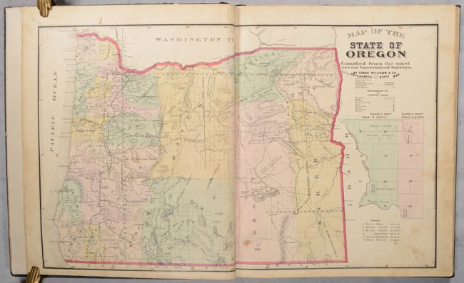
Subject: Oregon, Atlases
Historical Atlas Map of Marion & Linn Counties Oregon..., 1878
Size: 14.5 x 17.6 inches (36.8 x 44.7 cm)
Estimate: $1,400 - $1,700
The First County Atlas for Oregon
Sold for: $800
Closed on 11/12/2025
Auction 205, Lot 109
Subject: Eastern United States & Canada
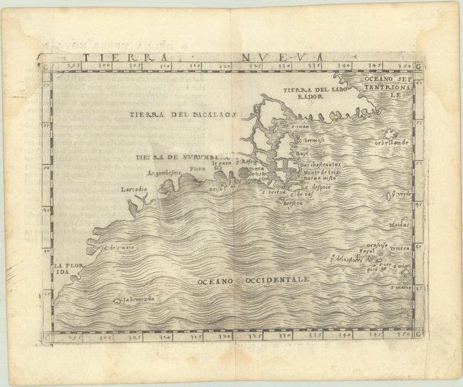
Gastaldi, Giacomo
Tierra Nueva, 1548
Size: 6.8 x 5 inches (17.3 x 12.7 cm)
Estimate: $2,750 - $3,500
The First Published Map Devoted to the East Coast of North America
Sold for: $2,300
Closed on 9/10/2025
Auction 205, Lot 110
Subject: Colonial Eastern United States & Canada
Homann, Johann Baptist
Amplissimae Regionis Mississipi seu Provinciae Ludovicianae a R.P. Ludovico Hennepin Francisc Miss in America Septentrionali Anno 1687..., 1716
Size: 22.8 x 19.2 inches (57.9 x 48.8 cm)
Estimate: $2,200 - $2,500
Striking Map of Colonial America with Bison Vignette
Sold for: $1,600
Closed on 9/10/2025
Auction 205, Lot 111
Subject: Colonial Eastern United States & Canada
Chatelain, Henry Abraham
Carte de la Nouvelle France, ou se Voit le Cours des Grandes Rivieres de S. Laurens & de Mississipi Aujour d'hui S. Louis, aux Environs des-quelles se Trouvent les Etats, Pais, Nations, Peuples &c. de la Floride, de la Louisiane, de la Virginie..., 1719
Size: 19.4 x 16.6 inches (49.3 x 42.2 cm)
Estimate: $3,000 - $3,750
One of the Most Informative 18th Century Maps of the French Possessions in North America
Unsold
Closed on 9/10/2025
Auction 205, Lot 116
Subject: Colonial Northeastern United States & Canada, Great Lakes
Delisle, Guillaume
Carte du Canada ou de la Nouvelle France et des Decouvertes qui y ont ete Faites Dressee sur Plusieurs Observations et sur un Grand Nombre de Relations Imprimees ou Manuscrites, 1703
Size: 25.6 x 19.7 inches (65 x 50 cm)
Estimate: $1,900 - $2,200
Unrecorded State of Delisle's Seminal Map of Canada and the Great Lakes
Sold for: $1,400
Closed on 9/10/2025
Auction 205, Lot 134
Subject: United States, Pembina
Bartholomew, John
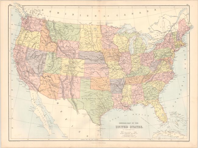
General Map of the United States, 1875
Size: 22.3 x 16.6 inches (56.6 x 42.2 cm)
Estimate: $275 - $350
Scarce Map Depicting the Territory of Pembina
Sold for: $190
Closed on 9/10/2025
Auction 205, Lot 150
Subject: Colonial Eastern United States
Bellin, Jacques Nicolas
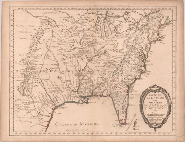
Carte de la Louisiane et des Pays Voisins Dediee a M. Rouille Secretaire d'Etat, ayant le Departement de la Marine, 1755
Size: 24.3 x 18.9 inches (61.7 x 48 cm)
Estimate: $1,600 - $1,900
Bellin's Scarce French and Indian War-Era Map of the Colonial United States
Unsold
Closed on 9/10/2025
Auction 205, Lot 157
Subject: Colonial New England & Mid-Atlantic United States
Blaeu, (Family)
Nova Belgica et Anglia Nova, 1635
Size: 20 x 15.3 inches (50.8 x 38.9 cm)
Estimate: $1,800 - $2,100
Important Map of Colonial New England and the Mid-Atlantic
Sold for: $1,300
Closed on 9/10/2025
Auction 205, Lot 164
Subject: Colonial Mid-Atlantic United States
Homann, Johann Baptist
Virginia Marylandia et Carolina in America Septentrionali Britannorum Industria Excultae, 1720
Size: 23.1 x 19.3 inches (58.7 x 49 cm)
Estimate: $1,500 - $1,800
Map Created to Promote German Immigration to the New World
Sold for: $1,000
Closed on 9/10/2025
Auction 205, Lot 167
Subject: Colonial Southeastern United States
Blaeu, Willem
Virginiae Partis Australis, et Floridae Partis Orientalis, Interjacentiumq Regionum Nova Descriptio, 1640
Size: 19.9 x 15.2 inches (50.5 x 38.6 cm)
Estimate: $900 - $1,100
Blaeu's Decorative Map of the Southeast in Full Contemporary Color
Unsold
Closed on 9/10/2025
Auction 205, Lot 205
Subject: Silicon Valley, California
Silicon Valley, 1983
Size: 40 x 30.1 inches (101.6 x 76.5 cm)
Estimate: $1,600 - $2,000
Classic Early Pictorial Map of Silicon Valley
Sold for: $1,200
Closed on 9/10/2025
Auction 205, Lot 234
Subject: Chicago, Illinois
A Map of Chicago's Gangland from Authentic Sources Designed to Inculcate the Most Important Principles of Piety and Virtue in Young Persons and Graphically Portray the Evils and Sin of Large Cities, 1931
Size: 27.6 x 22 inches (70.1 x 55.9 cm)
Estimate: $12,000 - $15,000
Rare Pictorial Map of Chicago Gang Wars During Prohibition
Sold for: $7,750
Closed on 9/10/2025
Auction 205, Lot 259
Subject: North Carolina, Civil War
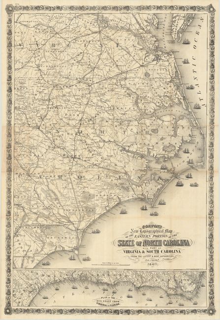
Colton's New Topographical Map of the Eastern Portion of the State of North Carolina with Part of Virginia & South Carolina from the Latest and Best Authorities, 1863
Size: 27 x 39.9 inches (68.6 x 101.3 cm)
Estimate: $2,200 - $2,500
Scare Civil War Map of Eastern North Carolina
Unsold
Closed on 9/10/2025
Auction 205, Lot 268
Subject: Republic of Texas
Bradford, Thomas Gamaliel
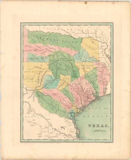
Texas, 1838
Size: 11.2 x 14.4 inches (28.4 x 36.6 cm)
Estimate: $2,000 - $2,300
Bradford's Republic of Texas Showing Land Grants
Sold for: $3,500
Closed on 9/10/2025
Auction 205, Lot 296
Subject: Southwestern United States & Mexico, California
Fer, Nicolas de
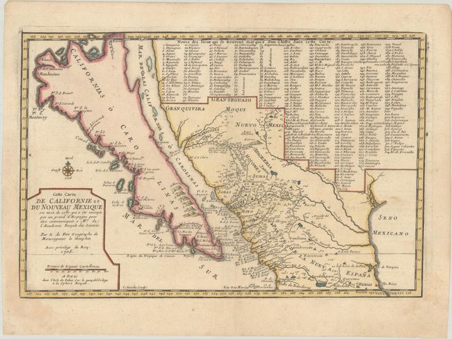
Cette Carte de Californie et du Nouveau Mexique, est Tiree de Celle qui a ete Envoyee par un Grand d'Espagne pour Etre Communiquee a Mrs. de l'Academie Royale des Sciences, 1705
Size: 13.4 x 8.9 inches (34 x 22.6 cm)
Estimate: $1,000 - $1,300
De Fer's Important Map of the Island of California
Sold for: $750
Closed on 9/10/2025
Auction 204, Lot 95
Subject: Colonial Eastern United States & Canada
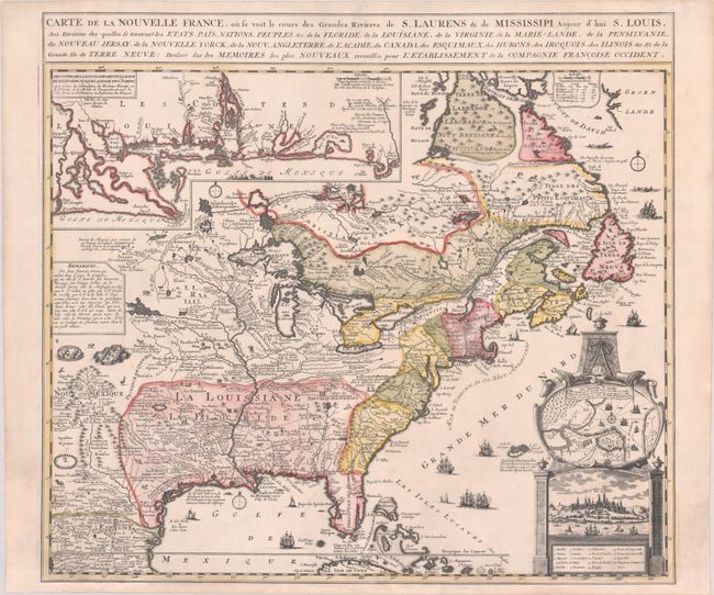
Chatelain, Henry Abraham
Carte de la Nouvelle France, ou se Voit le Cours des Grandes Rivieres de S. Laurens & de Mississipi Aujour d'hui S. Louis, aux Environs des-quelles se Trouvent les Etats, Pais, Nations, Peuples, &c. de la Floride, de la Louisiane, de la Virginie..., 1719
Size: 19.3 x 16.7 inches (49 x 42.4 cm)
Estimate: $2,200 - $2,500
One of the Most Informative 18th Century Maps of the French Possessions in North America
Unsold
Closed on 6/18/2025
Auction 204, Lot 96
Subject: Colonial Eastern United States & Canada
Anville, Jean Baptiste Bourguignon d'
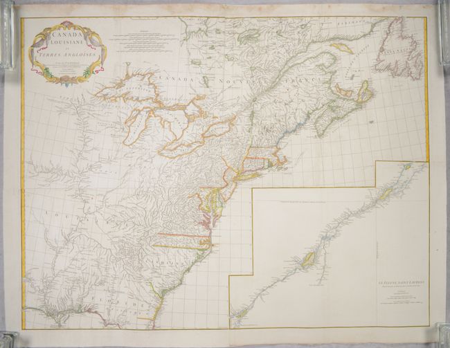
[On 4 Joined Sheets] Canada Louisiane et Terres Angloises, 1755
Size: 44.8 x 33.9 inches (113.8 x 86.1 cm)
Estimate: $1,400 - $1,700
D'Anville's Spectacular Map of Eastern Seaboard on 4 Joined Sheets
Sold for: $1,000
Closed on 6/18/2025
Auction 204, Lot 104
Subject: Northeastern United States & Canada
Bouchette, Joseph
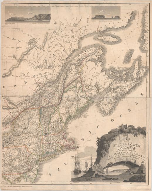
[Eastern Sheet] Map of the Provinces of Upper & Lower Canada with the Adjacent Parts of the United States of America &c. Compiled from the Latest Surveys and Adjusted from the Most Recent and Approved Astronomical Observations, 1815
Size: 24.3 x 30 inches (61.7 x 76.2 cm)
Estimate: $2,400 - $3,000
Eastern Sheet of Bouchette's Rare Map Presenting Lower Canada and New England
Unsold
Closed on 6/18/2025
Auction 204, Lot 132
Subject: Colonial New England & Mid-Atlantic United States
Blaeu, (Family)
Nova Belgica et Anglia Nova, 1638
Size: 19.9 x 15.3 inches (50.5 x 38.9 cm)
Estimate: $1,600 - $1,900
Important Map of Colonial New England and the Mid-Atlantic
Unsold
Closed on 6/18/2025
Auction 204, Lot 133
Subject: Colonial New England & Mid-Atlantic United States
Danckerts, Justus
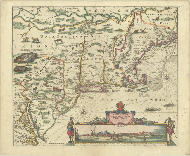
Novi Belgii Novaeque Angliae nec non Pennsylvaniae et Partis Virginiae Tabula Multis in Locis Emendata, 1690
Size: 21.4 x 18.2 inches (54.4 x 46.2 cm)
Estimate: $4,000 - $4,750
Danckerts' Decorative Map with Early View of New York City in Full Contemporary Color
Sold for: $3,000
Closed on 6/18/2025
Auction 204, Lot 141
Subject: Colonial Southeastern United States
Hondius, Jodocus
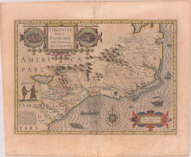
Virginiae Item et Floridae Americae Provinciarum, Nova Descriptio, 1619
Size: 19.1 x 13.5 inches (48.5 x 34.3 cm)
Estimate: $1,400 - $1,700
A Seminal Map of the Southeast and Early American Cartography in Full Contemporary Color
Unsold
Closed on 6/18/2025
Auction 204, Lot 143
Subject: Colonial Southeastern United States
Speed/Lamb
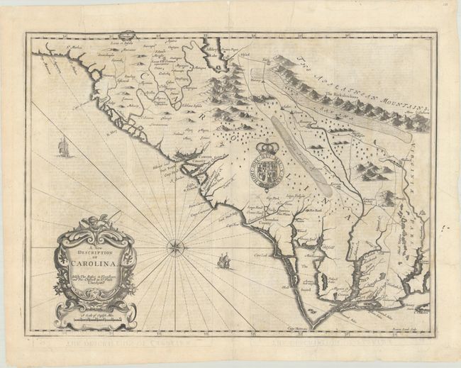
A New Description of Carolina, 1676
Size: 19.8 x 14.8 inches (50.3 x 37.6 cm)
Estimate: $1,800 - $2,100
Speed's Map of the Carolinas Based Upon the Lords Proprietor's Map
Sold for: $650
Closed on 6/18/2025
Auction 204, Lot 146
Subject: Colonial Southeastern United States
Le Rouge, George Louis
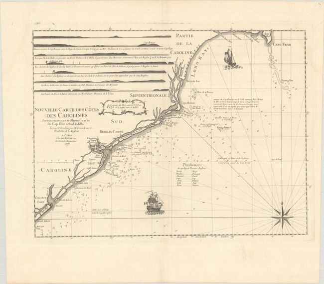
Nouvelle Carte des Cotes des Carolines Septentrionales et Meridionales du Cap Fear a Sud Edisto..., 1777
Size: 21.3 x 16.1 inches (54.1 x 40.9 cm)
Estimate: $1,000 - $1,300
Rare French Chart of the Carolina Coast
Sold for: $375
Closed on 6/18/2025
Auction 204, Lot 155
Subject: Western United States
Fremont/Preuss
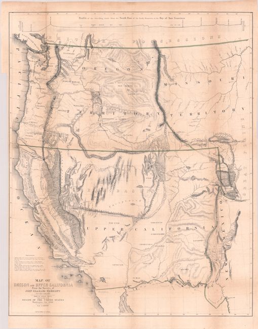
[Map with Report] Map of Oregon and Upper California from the Surveys of John Charles Fremont and Other Authorities [with] Geographical Memoir upon Upper California..., 1849
Size: 26.7 x 33.3 inches (67.8 x 84.6 cm)
Estimate: $1,500 - $1,800
Fremont's Map of the American West with Report
Sold for: $1,100
Closed on 6/18/2025
Auction 204, Lot 226
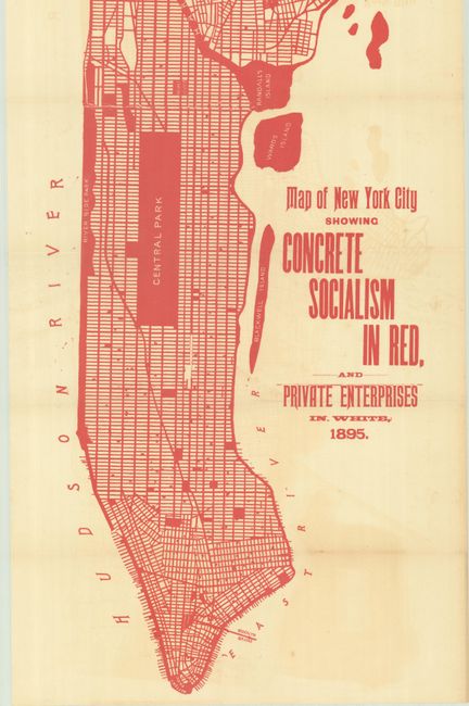
Subject: New York City, New York
Map of New York City Showing Concrete Socialism in Red, and Private Enterprises in White, 1895
Size: 13 x 39 inches (33 x 99.1 cm)
Estimate: $400 - $600
"A Powerful Example of Color Used to Make a Point" - PJ Mode
Sold for: $250
Closed on 6/18/2025
Auction 204, Lot 255
Subject: Southwestern United States & Mexico, California
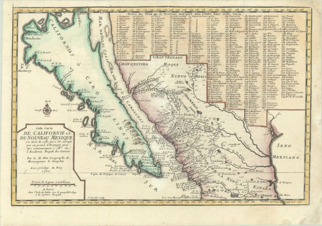
Fer, Nicolas de
Cette Carte de Californie et du Nouveau Mexique, est Tiree de Celle qui a ete Envoyee par un Grand d'Espagne pour etre Communiquee a Mrs. de l'Academie Royale des Sciences, 1700
Size: 13.4 x 9 inches (34 x 22.9 cm)
Estimate: $1,100 - $1,400
De Fer's Important Map of the Island of California - First State
Sold for: $800
Closed on 6/18/2025
Auction 203, Lot 86
Subject: Colonial Eastern United States & Canada
Fer, Nicolas de
Carte de la Nouvelle France, ou se Voit le Cours des Grandes Rivieres de S. Laurens & de Mississipi Aujour d'hui S. Louis, aux Environs des-quelles se Trouvent les Etats, Pais, Nations, Peuples, &c. de la Floride, de la Louisiane, de la Virginie..., 1720
Size: 21.9 x 19.8 inches (55.6 x 50.3 cm)
Estimate: $2,750 - $3,500
Striking Map of French Colonial Possessions
Sold for: $2,200
Closed on 4/23/2025
Auction 203, Lot 89
Subject: Colonial Eastern United States & Canada
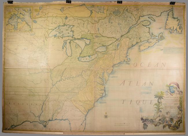
Mitchell/Le Rouge
Amerique Septentrionale avec les Routes, Distances en Miles, Villages et Etablissements Francois et Anglois par le Docteur Mitchel, 1777
Size: 75 x 52.4 inches (190.5 x 133.1 cm)
Estimate: $9,500 - $12,000
Third French Edition of Mitchell's Monumental Map
Sold for: $5,000
Closed on 4/23/2025
Auction 203, Lot 95
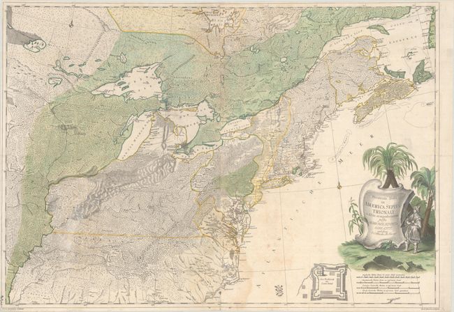
Subject: Colonial Northeastern United States & Canada
Rhode, Johann Cristoph
Theatrum Belli in America Septentrionali II. Foiliis Comprehensum..., 1755
Size: 31.5 x 22 inches (80 x 55.9 cm)
Estimate: $8,000 - $9,500
Scarce German Map Illustrating the French & Indian War
Sold for: $5,000
Closed on 4/23/2025
Auction 203, Lot 103
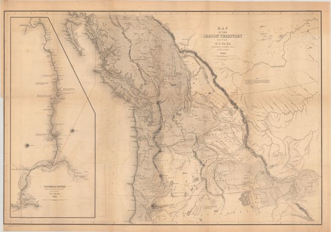
Subject: Northwestern United States & Canada
Wilkes, Charles
Map of the Oregon Territory by the U.S. Ex. Ex., 1841
Size: 34.1 x 22.9 inches (86.6 x 58.2 cm)
Estimate: $1,400 - $1,700
One of the Most Detailed and Important 19th-Century Maps of the American Northwest
Sold for: $1,100
Closed on 4/23/2025
Auction 203, Lot 108
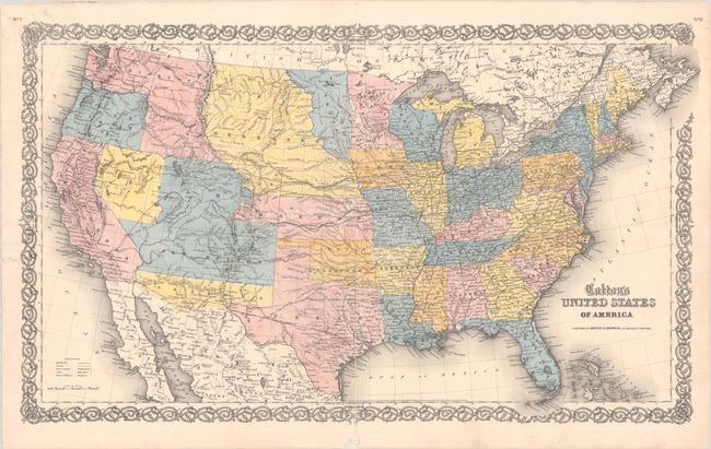
Subject: United States
Johnson & Browning
Colton's United States of America, 1859
Size: 26.5 x 15.7 inches (67.3 x 39.9 cm)
Estimate: $750 - $900
Scarce Map Featuring Colona
Sold for: $650
Closed on 4/23/2025
Auction 203, Lot 112
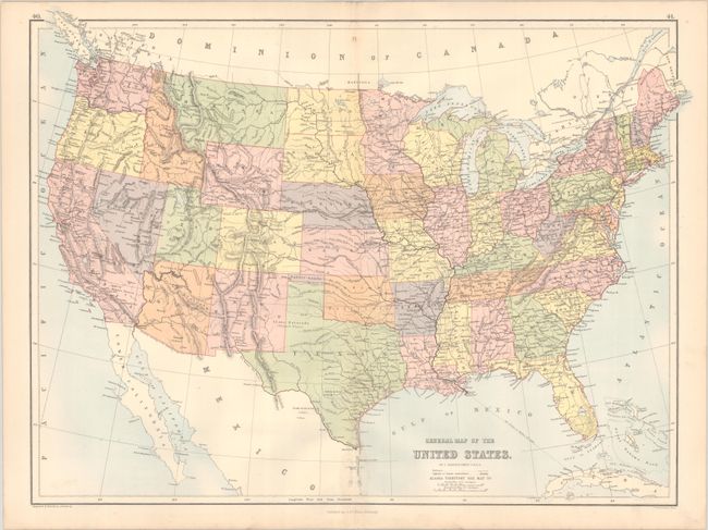
Subject: United States, Pembina
Bartholomew, John
General Map of the United States, 1875
Size: 22.3 x 16.6 inches (56.6 x 42.2 cm)
Estimate: $275 - $350
Scarce Map Depicting the Territory of Pembina
Unsold
Closed on 4/23/2025
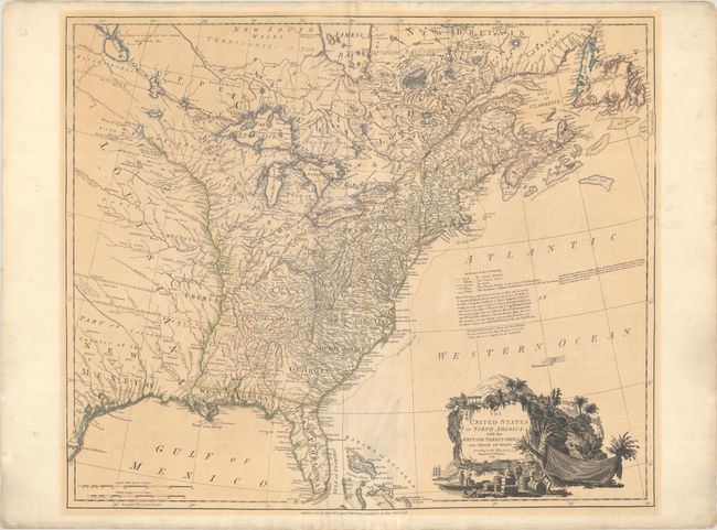
Auction 203, Lot 130
Subject: Eastern United States
Faden, William
The United States of North America: with the British Territories, and Those of Spain, According to the Treaty, of 1784, 1796
Size: 25 x 20.9 inches (63.5 x 53.1 cm)
Estimate: $4,000 - $4,750
Features the State of Franklin
Sold for: $2,500
Closed on 4/23/2025
2281 lots
Page 1 of 46


