Subject: North Carolina, Civil War
Period: 1863 (dated)
Publication:
Color: Black & White
Size:
27 x 39.9 inches
68.6 x 101.3 cm
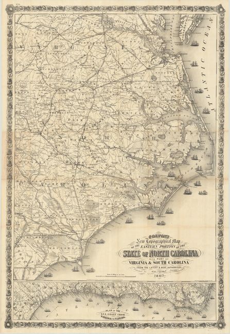
This very large Civil War period pocket map is a companion map to Colton's similar map of the Mid-Atlantic states. The map extends as far west as Raleigh and Fayetteville and north to Richmond, Virginia. With exceptional detail on a scale of 8 miles per inch, the map shows towns and villages, counties, topography, watershed, roads, and railroads. Along the coastline are numerous ships representing the Union blockade. This strategy aimed at disrupting the Confederate economy by preventing the export of goods like cotton and tobacco. At bottom is an inset map of the eastern seaboard from the Outer Banks of North Carolina to northern Florida, oriented with north to the top right. The map is further embellished with fancy titling and an elaborate floral and wheat-themed border. Printed by Lang & Cooper. Copyrighted 1860, this edition is updated to 1863. All editions of this map are very rare.
References: Rumsey #3044.000; Stephenson (Civil War) #304.85.
Condition: B+
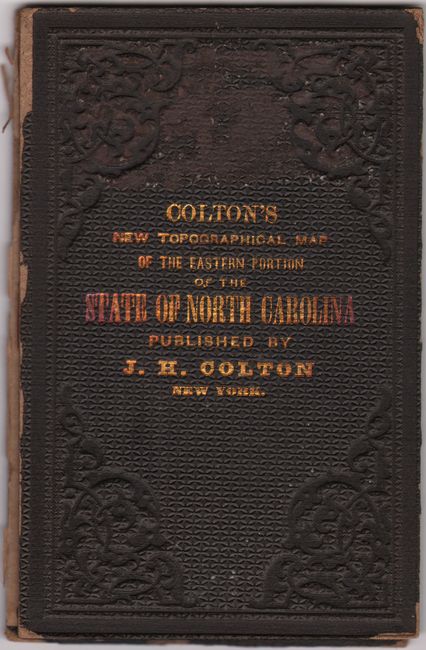
Issued on a bright sheet of banknote-style paper with several short separations around the fold junctions. There is a hint of toning at left where the map previously folded into its covers. The accompanying covers are worn and have split in two. The pastedown of the front cover has a "triplicate" stamp, though no ownership is indicated.