Subject: Nebraska
Period: 1857 (dated)
Publication:
Color: Hand Color
Size:
22.8 x 34.6 inches
57.9 x 87.9 cm
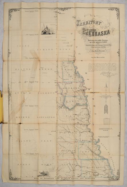
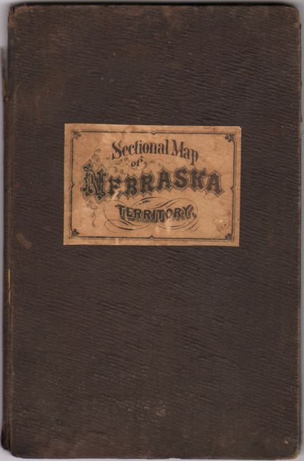
This rare, first-edition map of Nebraska Territory was compiled and drawn by Quin, Smith and Van Zandt in the Surveyor's Office at Lecompton, Kansas Territory. It extends from St. John's City south to Pawnee City and roughly centered on Omaha City (founded in 1854) and Council Bluffs. Only a fraction of the territory is depicted here, extending west approximately 50 miles in the north and about 100 miles in the south. County development is current to the publication date, with the creation of Johnson and Sarpy counties (among others). Settlement is confined to the area about 30 miles west from the Missouri River including Nebraska City, Bellevue, Plattsmouth and Brownville along with an early network of wagon roads. Three Indian reservations and two villages are noted on the map, including attractive illustrations identifying the Omaha and Ottoe reserves at top and bottom. The map was certified by L.A. MacLean, Chief Clerk, who noted that it "accurately and truthfully delineates with artistic beauty and nicety of detail all the topographical data found in the original notes." Drawn on a scale of 5 miles per inch. Lithographed by Leopold, Gast & Brother in St. Louis. Folds into brown cloth boards with title "Sectional Map of Nebraska Territory" on the front cover.
We found only one past sales record for this 1857 map (likely this example) in the last 30 years and 3 institutional examples (Library of Congress, British Library and Nebraska Historical Society). The 1858 edition also has only one past sales record (2008) and 6 institutional examples.
References:
Condition: B
The folding map is lightly toned and soiled with a long tear at left that has been closed on verso with old tape with a small section of image replaced in facsimile. There are several short fold separations primarily along the two middle horizontal folds with some minor losses at the fold junctions. Covers are stained and worn.