Showing Featured Lots(remove filter)
Filtered by Category:Europe & Mediterranean(Show All Categories)
Catalog Archive
1447 lots
Page 1 of 29
Auction 206, Lot 374
Subject: Europe
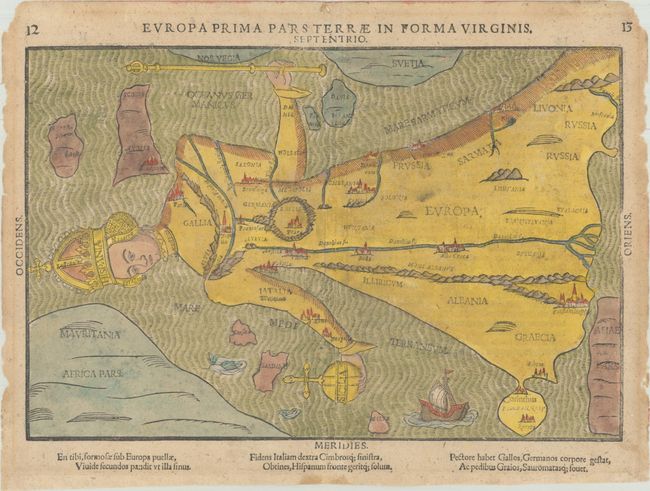
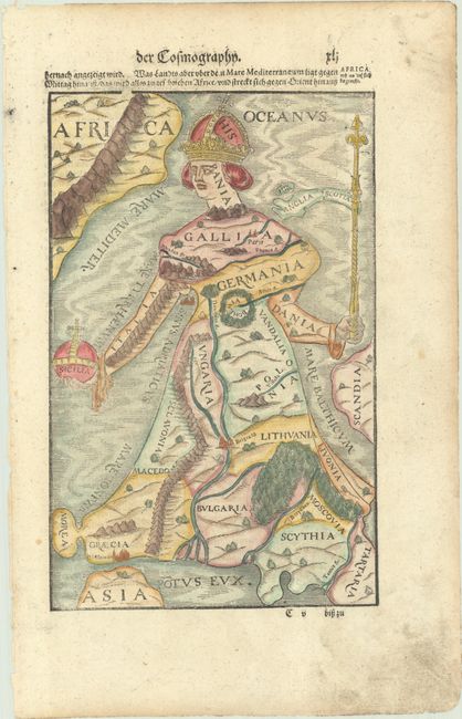
Bunting, Heinrich
Europa Prima Pars Terrae in Forma Virginis, 1589
Size: 14.1 x 9.4 inches (35.8 x 23.9 cm)
Estimate: $2,000 - $2,400
Europe Depicted as the Queen of the World
Unsold
Closed on 11/12/2025
Auction 206, Lot 380
Subject: Europe, World War I
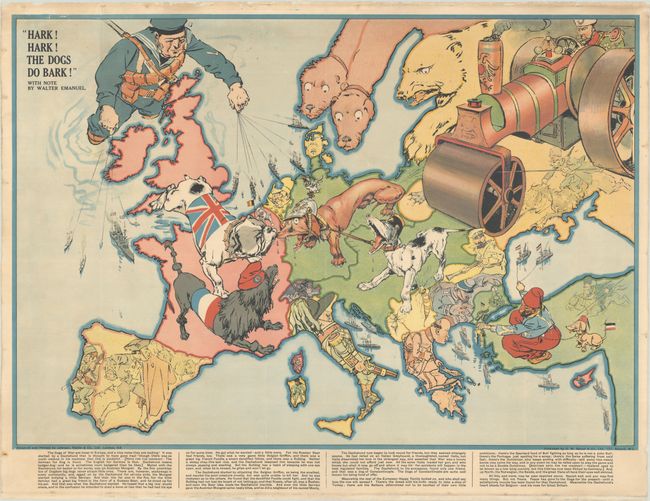
Bacon, G. W. & Company
Hark! Hark! The Dogs Do Bark!, 1914
Size: 27.4 x 19 inches (69.6 x 48.3 cm)
Estimate: $1,400 - $1,700
Rare Political Caricature Pocket Map Depicting European Countries as Dogs
Sold for: $850
Closed on 11/12/2025
Auction 206, Lot 382
Subject: Europe
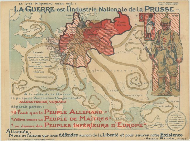
La Guerre est l'Industrie Nationale de la Prusse, 1917
Size: 30.6 x 23.2 inches (77.7 x 58.9 cm)
Estimate: $900 - $1,100
Rare French Propaganda Map Showing Prussian Octopus
Sold for: $650
Closed on 11/12/2025
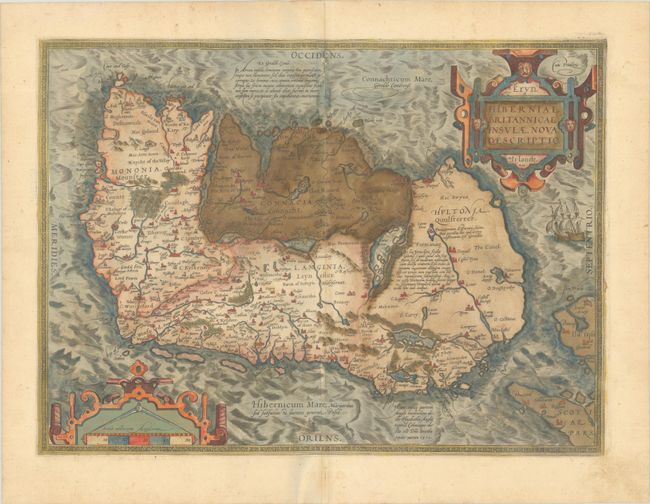
Auction 206, Lot 415
Subject: Ireland
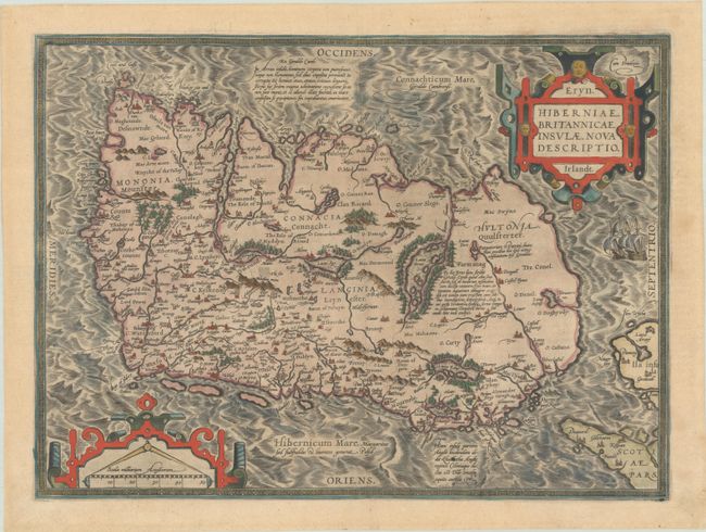
Ortelius, Abraham
Eryn. Hiberniae, Britannicae Insulae, Nova Descriptio. Irlandt, 1588
Size: 18.9 x 13.9 inches (48 x 35.3 cm)
Estimate: $1,100 - $1,400
Ortelius' First Map of Ireland
Sold for: $1,200
Closed on 11/12/2025
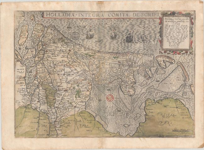
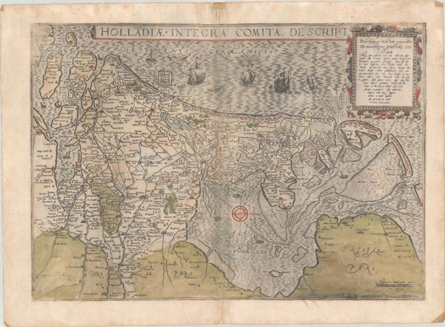
Auction 206, Lot 437
Subject: Netherlands
Jode, Cornelis de
Holladiae Integra Comita Descript., 1593
Size: 18.9 x 13.3 inches (48 x 33.8 cm)
Estimate: $1,100 - $1,400
Rare Map of Netherlands in Full Contemporary Color
Sold for: $800
Closed on 11/12/2025
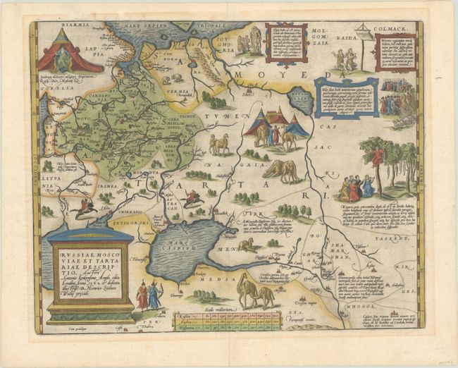
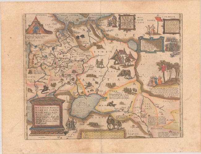
Auction 206, Lot 526
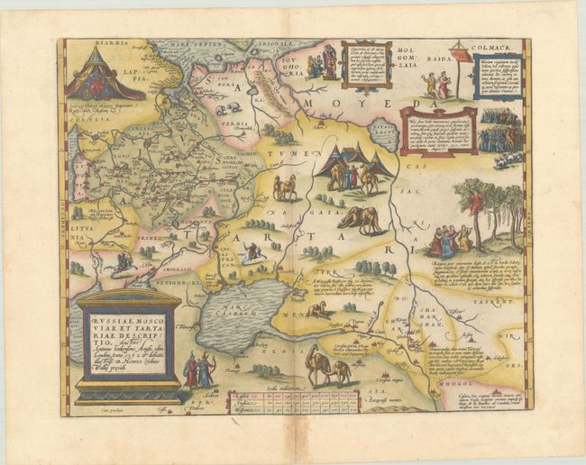
Subject: Russia, Eastern Europe & Central Asia
Ortelius, Abraham
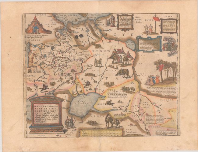
Russiae, Moscoviae et Tartariae Descriptio. Auctore Antonio Ienkensono Anglo..., 1603
Size: 17.6 x 13.9 inches (44.7 x 35.3 cm)
Estimate: $1,500 - $1,800
Ortelius' Map of Russia with a Vignette of Ivan the Terrible
Sold for: $1,100
Closed on 11/12/2025
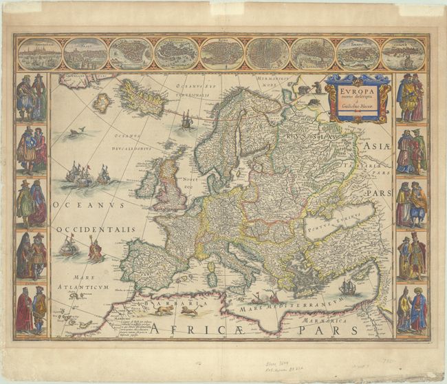
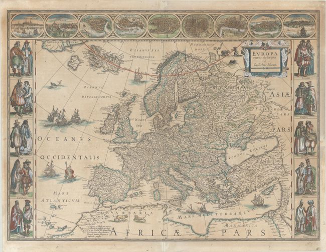
Auction 205, Lot 362
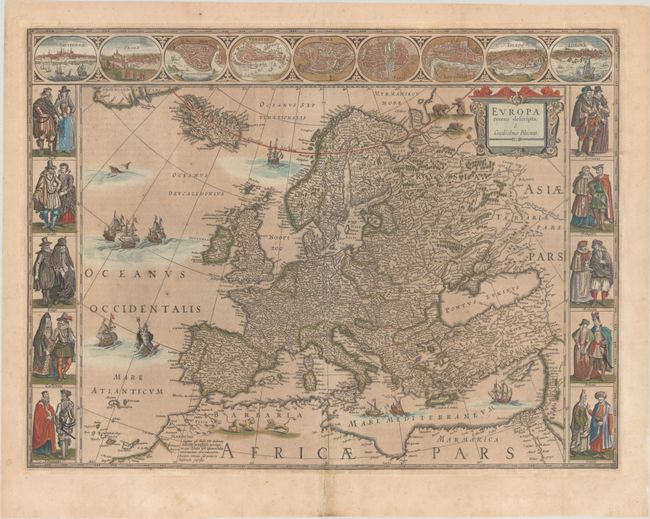
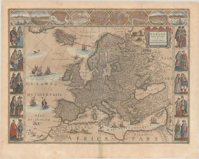
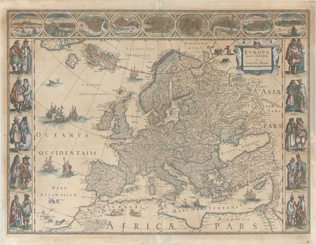
Subject: Europe
Blaeu, Willem
Europa Recens Descripta, 1644
Size: 21.9 x 16.2 inches (55.6 x 41.1 cm)
Estimate: $2,400 - $3,000
Blaeu's Carte-a-Figures Map of Europe
Sold for: $2,300
Closed on 9/10/2025
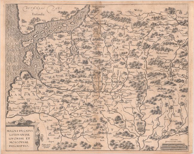
Auction 205, Lot 398
Subject: Baltic & Eastern Europe
Magni Ducatus Lithuaniae Livoniae et Moscoviae Descriptio, 1589
Size: 15.8 x 12.8 inches (40.1 x 32.5 cm)
Estimate: $700 - $850
Rare and Important Map of Duchy of Lithuania and Vicinity
Sold for: $3,500
Closed on 9/10/2025
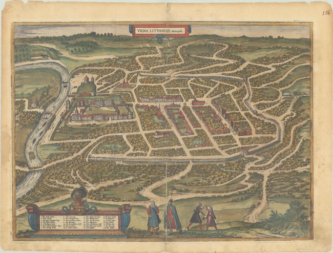
Auction 205, Lot 407
Subject: Vilnius, Lithuania
Braun & Hogenberg
Vilna Lituaniae Metropolis, 1581
Size: 19.8 x 14.4 inches (50.3 x 36.6 cm)
Estimate: $1,500 - $1,800
Superb Bird's-Eye Plan of Vilnius in Full Contemporary Color
Sold for: $1,100
Closed on 9/10/2025
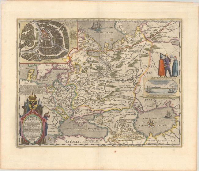
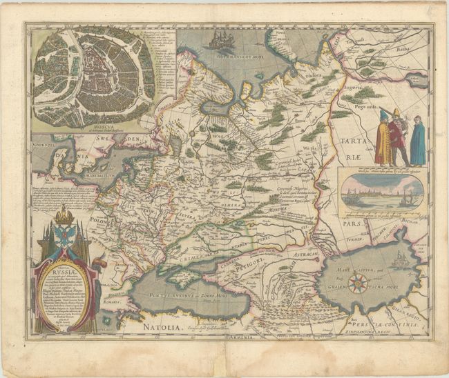
Auction 205, Lot 503
Subject: Russia in Europe
Blaeu, Willem
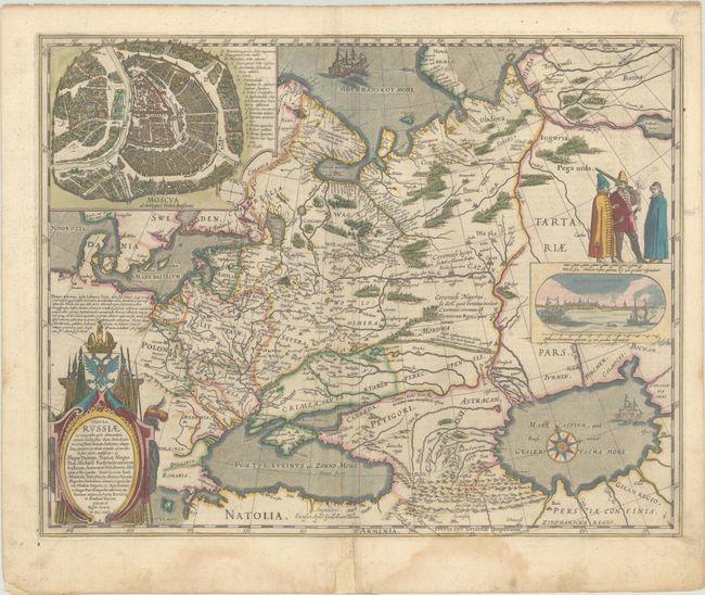
Tabula Russiae ex Autographo, quod Delineandum Curavit Foedor Filius Tzaris Boris Desumta ... M.DC.XIIII, 1642
Size: 21.6 x 16.8 inches (54.9 x 42.7 cm)
Estimate: $1,500 - $1,800
Blaeu's Decorative Map of Russia
Unsold
Closed on 9/10/2025
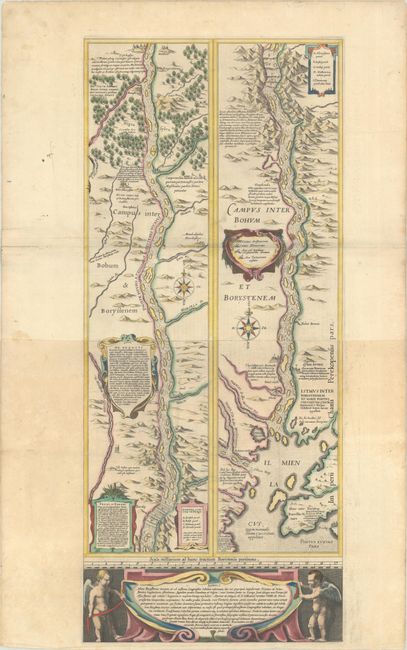
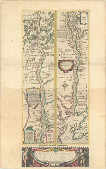
Auction 205, Lot 510
Subject: Dnieper River, Ukraine
Blaeu, (Family)
[Campus Inter Bohum et Borystenem] Lectori S. Hunc Borysthenis Tractum ut ad Nostrum Geographiae Tabulam…, 1634
Size: 12.8 x 29.6 inches (32.5 x 75.2 cm)
Estimate: $1,000 - $1,300
Blaeu's Strip-Map of the Dnieper River
Sold for: $500
Closed on 9/10/2025
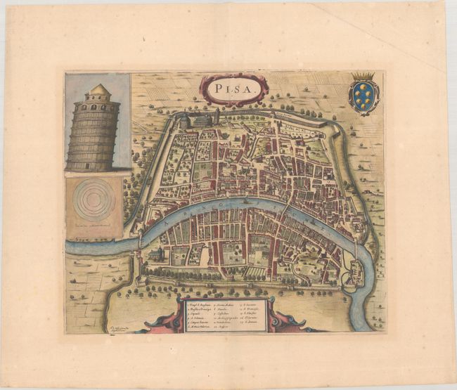
Auction 205, Lot 541
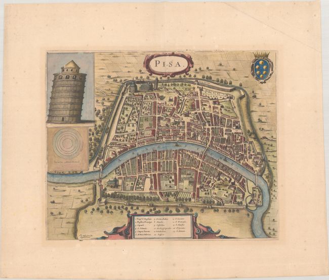
Subject: Pisa, Italy
Wit, Frederick de
Pisa, 1696
Size: 16.3 x 13.3 inches (41.4 x 33.8 cm)
Estimate: $1,200 - $1,500
Scarce Bird's-Eye Plan of Pisa
Sold for: $900
Closed on 9/10/2025
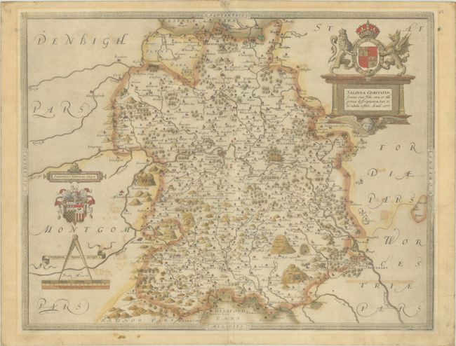
Auction 204, Lot 335
Subject: Western England
Saxton, Christopher
Salopiae Comitatus, Summa cum Fide, Cura et Diligentia Descriptionem haec Tibi Tabula Refert, 1577
Size: 19.9 x 15.4 inches (50.5 x 39.1 cm)
Estimate: $1,600 - $1,900
Scarce Map from Saxton's First National Atlas in Full Contemporary Color
Sold for: $1,200
Closed on 6/18/2025
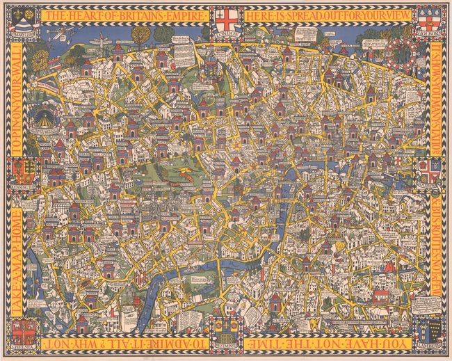
Auction 204, Lot 347
Subject: London, England
Gill, MacDonald
The Wonderground Map of London Town, 1914
Size: 36.8 x 29.2 inches (93.5 x 74.2 cm)
Estimate: $1,800 - $2,100
British Empire Exhibition Edition of MacDonald Gill's Landmark "Wonderground Map" of London
Sold for: $1,500
Closed on 6/18/2025
Auction 204, Lot 389
Subject: Netherlands
Jode, Cornelis de
Holladiae Integra Comita Descript., 1593
Size: 18.9 x 13.3 inches (48 x 33.8 cm)
Estimate: $1,100 - $1,400
Rare Map of Netherlands in Full Contemporary Color
Unsold
Closed on 6/18/2025
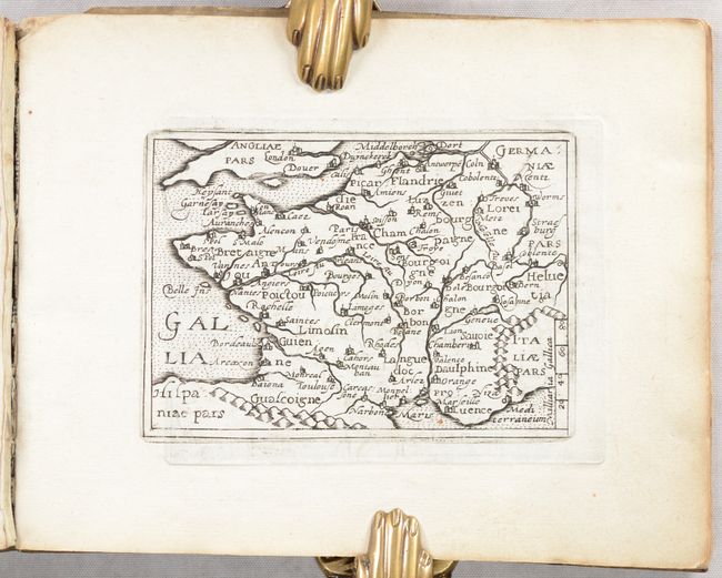
Auction 204, Lot 410
Subject: France, Atlas
Quad, Matthias von Kinckelbach
Deliciae Galliae sive Itinerarium per Universam Galliam..., 1603
Size: 7.8 x 6.1 inches (19.8 x 15.5 cm)
Estimate: $1,000 - $1,300
Rare Atlas with 32 Miniature Maps Based on Ortelius
Sold for: $750
Closed on 6/18/2025
Auction 204, Lot 510
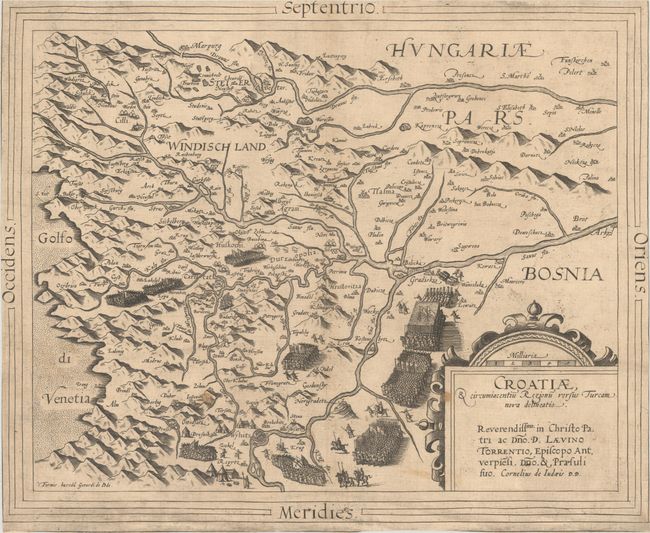
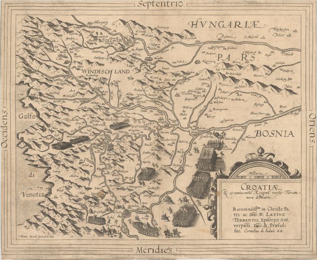
Subject: Croatia
Jode, Cornelis de
Croatiae, & Circumiacentiu Regionu Versus Turcam Nova Delineatio, 1593
Size: 15.6 x 12.9 inches (39.6 x 32.8 cm)
Estimate: $800 - $950
Rare Map of Croatia During Long Turkish War
Sold for: $600
Closed on 6/18/2025
Auction 204, Lot 539
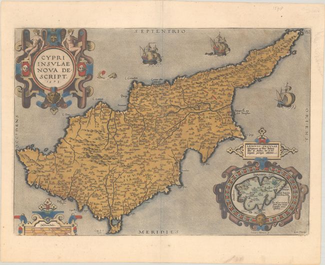
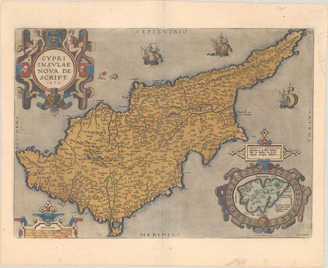
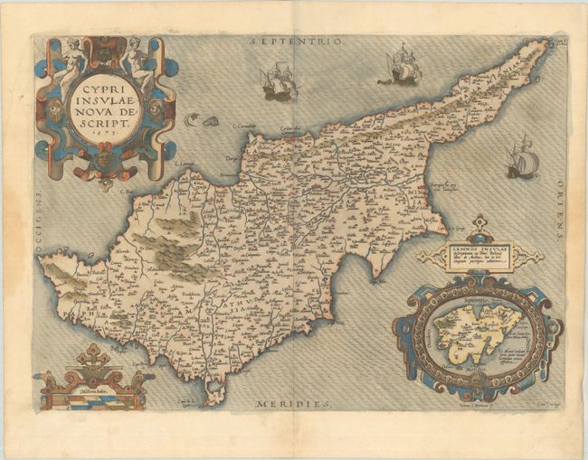
Subject: Cyprus
Ortelius, Abraham
Cypri Insulae Nova Descript., 1573
Size: 19.8 x 13.9 inches (50.3 x 35.3 cm)
Estimate: $1,100 - $1,400
Superb, Decorative Map of Cyprus in Full Contemporary Color
Unsold
Closed on 6/18/2025
Auction 203, Lot 373
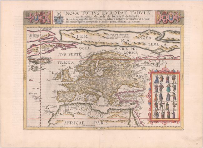
Subject: Europe
Jode, Gerard de
Nova Totius Europae Tabula ex Magnis Gerardi de Iudaeis P. Desumpta..., 1593
Size: 17.4 x 12.9 inches (44.2 x 32.8 cm)
Estimate: $6,000 - $7,500
De Jode's Very Rare Map of Europe
Sold for: $3,750
Closed on 4/23/2025
Auction 203, Lot 374
Subject: Europe
Blaeu, Willem
Europa Recens Descripta, 1663
Size: 21.7 x 16.1 inches (55.1 x 40.9 cm)
Estimate: $2,300 - $2,750
Blaeu's Carte-a-Figures Map of Europe in Full Contemporary Color
Unsold
Closed on 4/23/2025
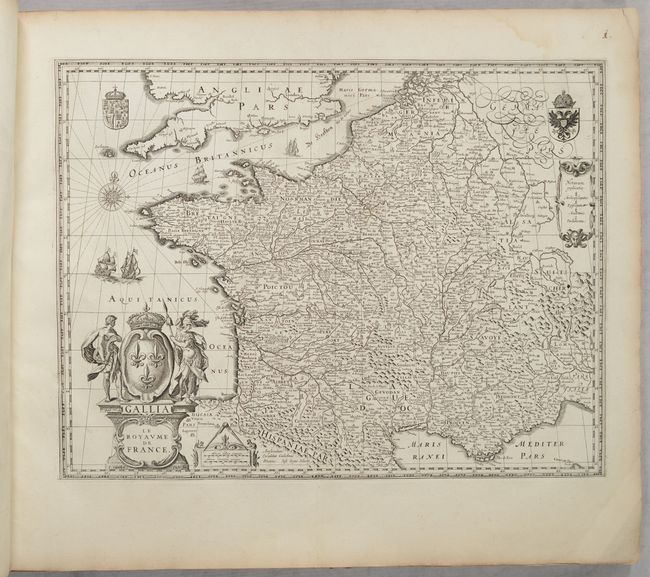
Auction 203, Lot 452
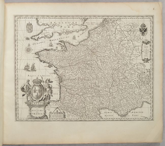
Subject: France, Atlases
Blaeu, (Family)
[Volume 2, Part 1] Novus Atlas, das ist Welt-beschreibung mit Schoenen Newen Ausfuehrlichen Land-Taffeln..., 1647
Size: 24 x 20 inches (61 x 50.8 cm)
Estimate: $3,500 - $4,250
Superb Atlas of France with 48 Maps
Sold for: $2,200
Closed on 4/23/2025
Auction 203, Lot 548
Subject: Russia, Eastern Europe & Central Asia
Ortelius, Abraham
Russiae, Moscoviae et Tartariae Descriptio. Auctore Antonio Ienkensono Anglo..., 1579
Size: 17.4 x 13.8 inches (44.2 x 35.1 cm)
Estimate: $1,200 - $1,500
Ortelius' Map of Russia with a Vignette of Ivan the Terrible in Full Contemporary Color
Unsold
Closed on 4/23/2025
Auction 203, Lot 550
Subject: Russia in Europe
Blaeu, Willem
Tabula Russiae ex Autographo, quod Delineandum Curavit Foedor Filius Tzaris Boris Desumta ... M.DC.XIIII, 1650
Size: 21.6 x 16.8 inches (54.9 x 42.7 cm)
Estimate: $1,400 - $1,700
Blaeu's Decorative Map of Russia
Sold for: $1,000
Closed on 4/23/2025
Auction 203, Lot 554
Subject: Dnieper River, Ukraine
Blaeu, (Family)
[Campus Inter Bohum et Borystenem] Lectori S. Hunc Borysthenis Tractum ut ad Nostrum Geographiae Tabulam…, 1634
Size: 12.8 x 29.6 inches (32.5 x 75.2 cm)
Estimate: $1,400 - $1,700
Blaeu's Strip-Map of the Dnieper River
Unsold
Closed on 4/23/2025
Auction 203, Lot 590
Subject: Pisa, Italy
Wit, Frederick de
Pisa, 1696
Size: 16.3 x 13.3 inches (41.4 x 33.8 cm)
Estimate: $1,600 - $1,900
Scarce Bird's-Eye Plan of Pisa
Unsold
Closed on 4/23/2025
Auction 202, Lot 538
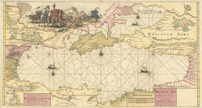
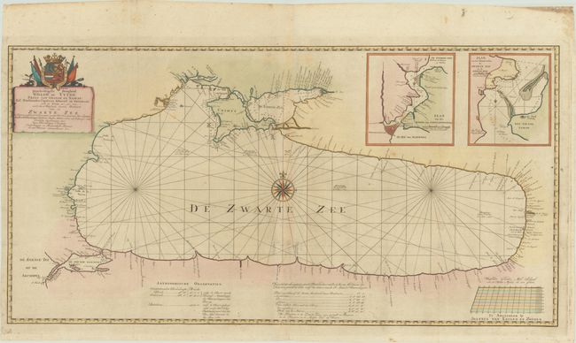
Subject: Black Sea
Keulen, Johannes van
Nieuwe Paskaart van de Geheele Swarte Zee Beginnende van Constantinopolen tot Azak..., 1709
Size: 38.6 x 20.8 inches (98 x 52.8 cm)
Estimate: $2,000 - $2,500
Rare Map of Black Sea with Vignette of Peter the Great's Azov Campaigns
Sold for: $6,000
Closed on 2/12/2025
Auction 202, Lot 580
Subject: Cyprus
Ortelius, Abraham
Cypri Insulae Nova Descript., 1573
Size: 19.8 x 13.9 inches (50.3 x 35.3 cm)
Estimate: $1,200 - $1,500
Superb, Decorative Map of Cyprus in Full Contemporary Color
Unsold
Closed on 2/12/2025
Auction 201, Lot 393
Subject: Europe
Blaeu, Willem
Europa Recens Descripta, 1663
Size: 21.7 x 16.1 inches (55.1 x 40.9 cm)
Estimate: $2,400 - $3,000
Blaeu's Carte-a-Figures Map of Europe in Full Contemporary Color
Unsold
Closed on 11/20/2024
Auction 201, Lot 547
Subject: Russia, Eastern Europe & Central Asia
Ortelius, Abraham
Russiae, Moscoviae et Tartariae Descriptio. Auctore Antonio Ienkensono Anglo..., 1579
Size: 17.4 x 13.8 inches (44.2 x 35.1 cm)
Estimate: $1,400 - $1,700
Ortelius' Map of Russia with a Vignette of Ivan the Terrible in Full Contemporary Color
Unsold
Closed on 11/20/2024
Auction 201, Lot 549
Subject: Russia in Europe
Blaeu, Willem
Tabula Russiae ex Autographo, quod Delineandum Curavit Foedor Filius Tzaris Boris Desumta ... M.DC.XIIII, 1650
Size: 21.6 x 16.8 inches (54.9 x 42.7 cm)
Estimate: $1,500 - $1,800
Blaeu's Decorative Map of Russia
Unsold
Closed on 11/20/2024
Auction 201, Lot 552
Subject: Moscow, Russia
Braun & Hogenberg
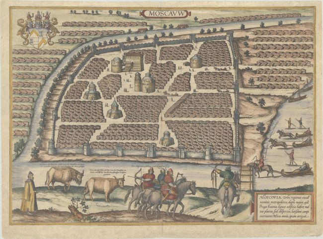
Moscauw, 1597
Size: 19.3 x 13.8 inches (49 x 35.1 cm)
Estimate: $1,900 - $2,200
Braun & Hogenberg's First Plan of Moscow
Sold for: $950
Closed on 11/20/2024
Auction 201, Lot 557
Subject: Black Sea
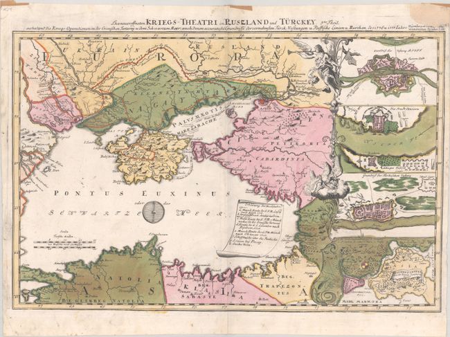
Des Neueroffneten Kriegs-Theatri in Ruszland und Turckey..., 1740
Size: 22.2 x 14.6 inches (56.4 x 37.1 cm)
Estimate: $800 - $1,000
Rare Map of Russo-Turkish War in 1736-37
Sold for: $3,250
Closed on 11/20/2024
Auction 201, Lot 592
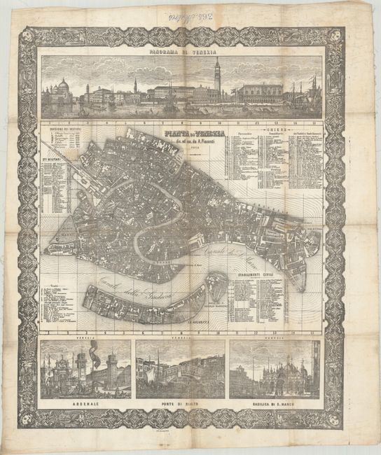
Subject: Venice, Italy
Pianta di Venezia, 1876
Size: 21.7 x 26.7 inches (55.1 x 67.8 cm)
Estimate: $1,200 - $1,500
Intricately Detailed Map and Views Printed on Cloth
Unsold
Closed on 11/20/2024
Auction 199, Lot 363
Subject: Europe
Blaeu, Willem
Europa Recens Descripta, 1635
Size: 21.9 x 16.1 inches (55.6 x 40.9 cm)
Estimate: $2,750 - $3,500
Blaeu's Carte-a-Figures Map of Europe
Sold for: $1,500
Closed on 9/11/2024
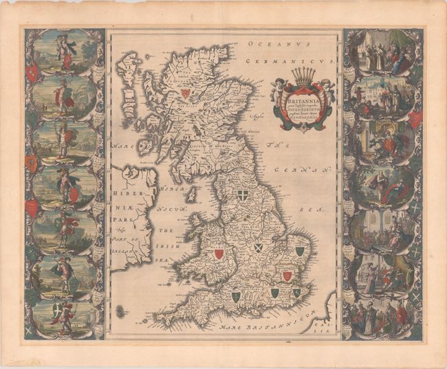
Auction 199, Lot 375
Subject: Britain
Blaeu, Johannes
Britannia Prout Divisa Suit Temporibus Anglo-Saxonum, Praesertim Durante Illorum Heptarchia, 1646
Size: 20.8 x 16.3 inches (52.8 x 41.4 cm)
Estimate: $1,600 - $1,900
Blaeu's Decorative Map of Britain with Vignettes of Saxon History
Sold for: $850
Closed on 9/11/2024
Auction 199, Lot 398
Subject: Ireland
Ortelius, Abraham
Eryn. Hiberniae, Britannicae Insulae, Nova Descriptio. Irlandt, 1579
Size: 19 x 13.9 inches (48.3 x 35.3 cm)
Estimate: $1,100 - $1,400
Ortelius' First Map of Ireland in Full Contemporary Color
Sold for: $800
Closed on 9/11/2024
Auction 199, Lot 399
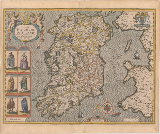
Subject: Ireland
Speed, John
The Kingdome of Irland Devided into Severall Provinces, and the Againe Devided into Counties. Newly Described, 1610
Size: 20 x 15.3 inches (50.8 x 38.9 cm)
Estimate: $2,750 - $3,500
One of the Most Desired Maps of Ireland
Sold for: $2,000
Closed on 9/11/2024
Auction 199, Lot 436
Subject: France, Atlases
Blaeu, (Family)
[Volume 2, Part 1] Novus Atlas, das ist Welt-beschreibung mit Schoenen Newen Ausfuehrlichen Land-Taffeln..., 1647
Size: 24 x 20 inches (61 x 50.8 cm)
Estimate: $4,500 - $5,500
Superb Atlas of France with 48 Maps
Unsold
Closed on 9/11/2024
Auction 199, Lot 507
Subject: Russia, Eastern Europe & Central Asia
Ortelius, Abraham
Russiae, Moscoviae et Tartariae Descriptio. Auctore Antonio Ienkensono Anglo..., 1575
Size: 17.4 x 13.8 inches (44.2 x 35.1 cm)
Estimate: $1,600 - $1,900
Ortelius' Map of Russia with a Vignette of Ivan the Terrible
Sold for: $1,200
Closed on 9/11/2024
Auction 199, Lot 518
Subject: Black Sea
van Keulen en Zoonen, Johannes
Aan Zyne Doorluchtigste Hoogheid Willem de Vyfde ... Wassende Graade Paskaart van de Zwarte Zee..., 1775
Size: 38 x 19.4 inches (96.5 x 49.3 cm)
Estimate: $1,100 - $1,400
Rare Two-Sheet Map of Black Sea Based on Work by Captain Van Kinsbergen
Sold for: $3,250
Closed on 9/11/2024
Auction 199, Lot 528
Subject: Croatia
Jode, Cornelis de
Croatiae, & Circumiacentiu Regionu Versus Turcam Nova Delineatio, 1593
Size: 15.6 x 12.9 inches (39.6 x 32.8 cm)
Estimate: $950 - $1,100
Rare Map of Croatia During Long Turkish War
Unsold
Closed on 9/11/2024
Auction 198, Lot 335
Subject: Europe
Munster, Sebastian
[Europa Regina], 1588
Size: 6.5 x 10.2 inches (16.5 x 25.9 cm)
Estimate: $1,000 - $1,300
Famous Cartographic Oddity of Europe in the Shape of a Woman
Sold for: $800
Closed on 6/19/2024
Auction 198, Lot 341
Subject: Britain
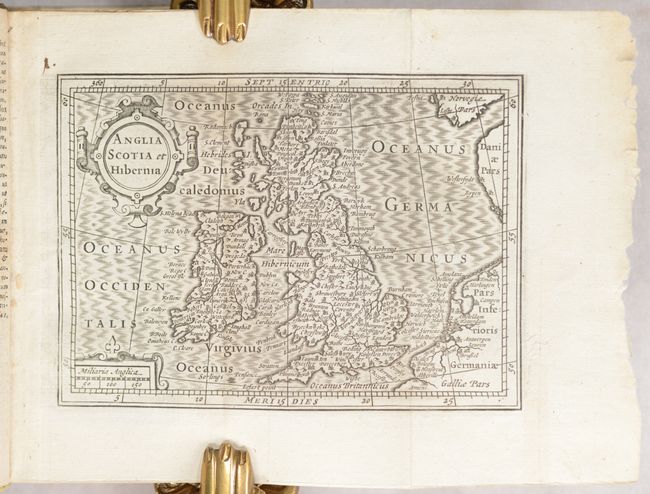
Camden, William
Guili. Camdeni Viri Clarissimi Britannia, sive Florentiss. Regnorum Angliae, Scotiae, Hiberniae, Insularumq Adiacentium ex Intima Antiquitate Descriptio..., 1639
Size: 3.2 x 5.6 inches (8.1 x 14.2 cm)
Estimate: $1,800 - $2,200
Miniature Version of Camden's Britannia Published by Blaeu
Sold for: $1,300
Closed on 6/19/2024
Auction 198, Lot 347
Subject: England & Wales, Atlases
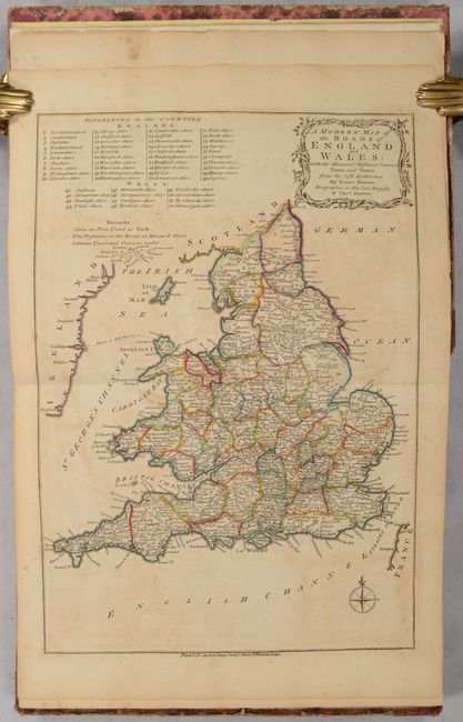
Bowen, Thomas
Atlas Anglicanus, or a Complete Sett of Maps of the Counties of South Britain; Divided into Their Respective Hundreds, Wapentakes, Wards, Rapes, Lathes &c..., 1777
Size: 8.8 x 10.6 inches (22.4 x 26.9 cm)
Estimate: $2,000 - $2,750
Complete English County Atlas with 44 Maps
Sold for: $1,500
Closed on 6/19/2024
Auction 198, Lot 457
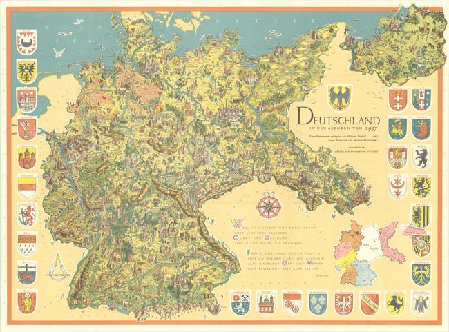
Subject: Germany
Deutschland in den Grenzen von 1937, 1955
Size: 45.8 x 33.6 inches (116.3 x 85.3 cm)
Estimate: $700 - $850
Post-War Persuasive Map Presenting 1937 Nazi Germany as a Vision for Reunification
Sold for: $350
Closed on 6/19/2024
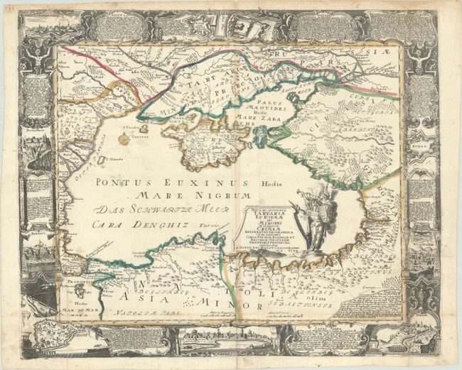
Auction 198, Lot 518
Subject: Black Sea
Haupt, Gottfried Jacob
Nova et Accurata Tartariae Europaeae seu Minores et in Specie Crimeae Delineatio Geographica..., 1740
Size: 26.8 x 22.1 inches (68.1 x 56.1 cm)
Estimate: $1,000 - $1,400
Rare, Decorative Map of the Black Sea and Surrounding Region
Sold for: $2,750
Closed on 6/19/2024
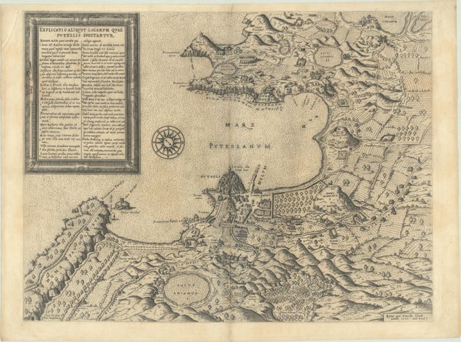
Auction 198, Lot 544
Subject: Southern Italy, Phlegraean Fields
Duchetti, Claudio
Explicatio Aliquot Locorum quae Puteolis Spectantur, 1586
Size: 20.1 x 15.3 inches (51.1 x 38.9 cm)
Estimate: $1,600 - $1,900
Rare, Early Archaeological Map of Phlegraean Fields
Unsold
Closed on 6/19/2024
Auction 198, Lot 547
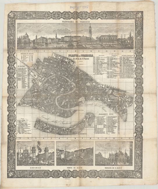
Subject: Venice, Italy
Pianta di Venezia, 1876
Size: 21.7 x 26.7 inches (55.1 x 67.8 cm)
Estimate: $1,200 - $1,500
Intricately Detailed Map and Views Printed on Cloth
Unsold
Closed on 6/19/2024
Auction 198, Lot 559
Subject: Cyprus
Ortelius, Abraham
Cypri Insulae Nova Descript., 1573
Size: 19.6 x 13.8 inches (49.8 x 35.1 cm)
Estimate: $1,400 - $1,700
Superb, Decorative Map of Cyprus
Sold for: $1,000
Closed on 6/19/2024
Auction 197, Lot 406
Subject: Europe
Blaeu, Willem
Europa Recens Descripta, 1635
Size: 21.9 x 16.1 inches (55.6 x 40.9 cm)
Estimate: $3,000 - $3,750
Blaeu's Carte-a-Figures Map of Europe
Unsold
Closed on 4/24/2024
1447 lots
Page 1 of 29


